
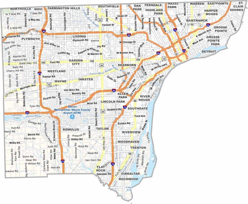
Detroit, known as the Motor City, sits at the heart of Wayne County in southeastern Michigan. The county stretches from the Detroit River into the western suburbs and has deep connections to Motown music and the automotive industry that helped shape American history.
Despite its highly urban character, Wayne County also offers notable green spaces and parks. Belle Isle, a 2.5-mile-long, 982-acre island park in the Detroit River, provides a scenic natural setting within the Detroit area.
Sports fans can catch the Detroit Tigers, Detroit Lions, Detroit Red Wings, and Detroit Pistons in action. The Detroit Institute of Arts features extensive collections, while nearby Dearborn is home to the Henry Ford Museum of American Innovation, which celebrates technological achievements and the history of American innovation and industry.
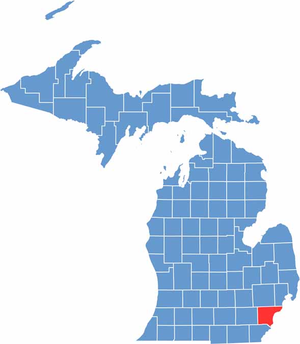
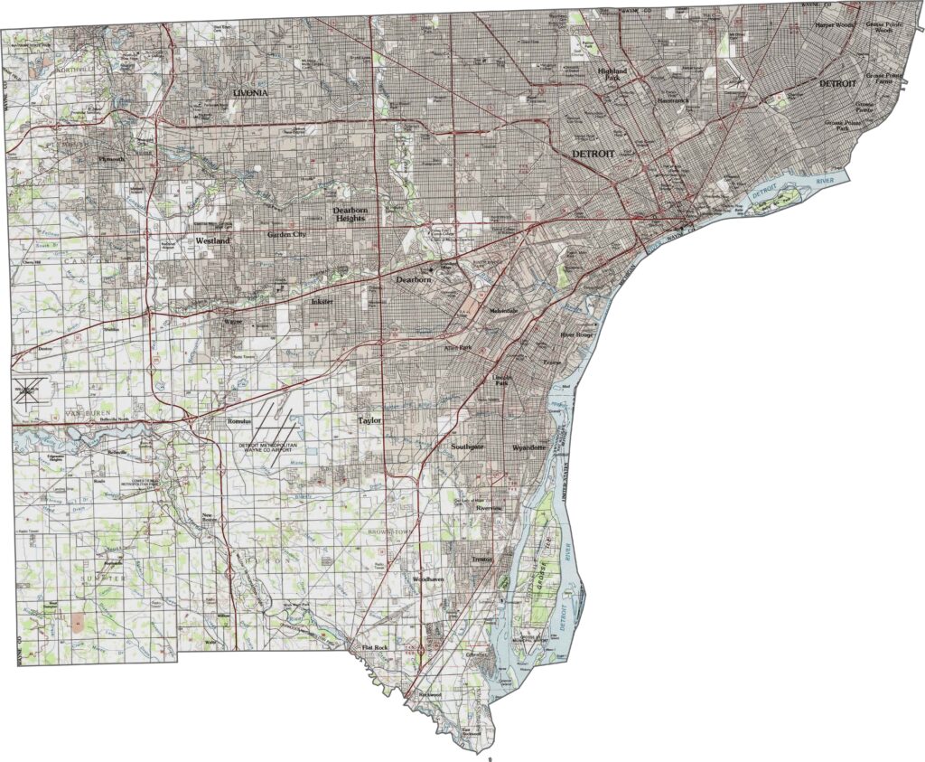
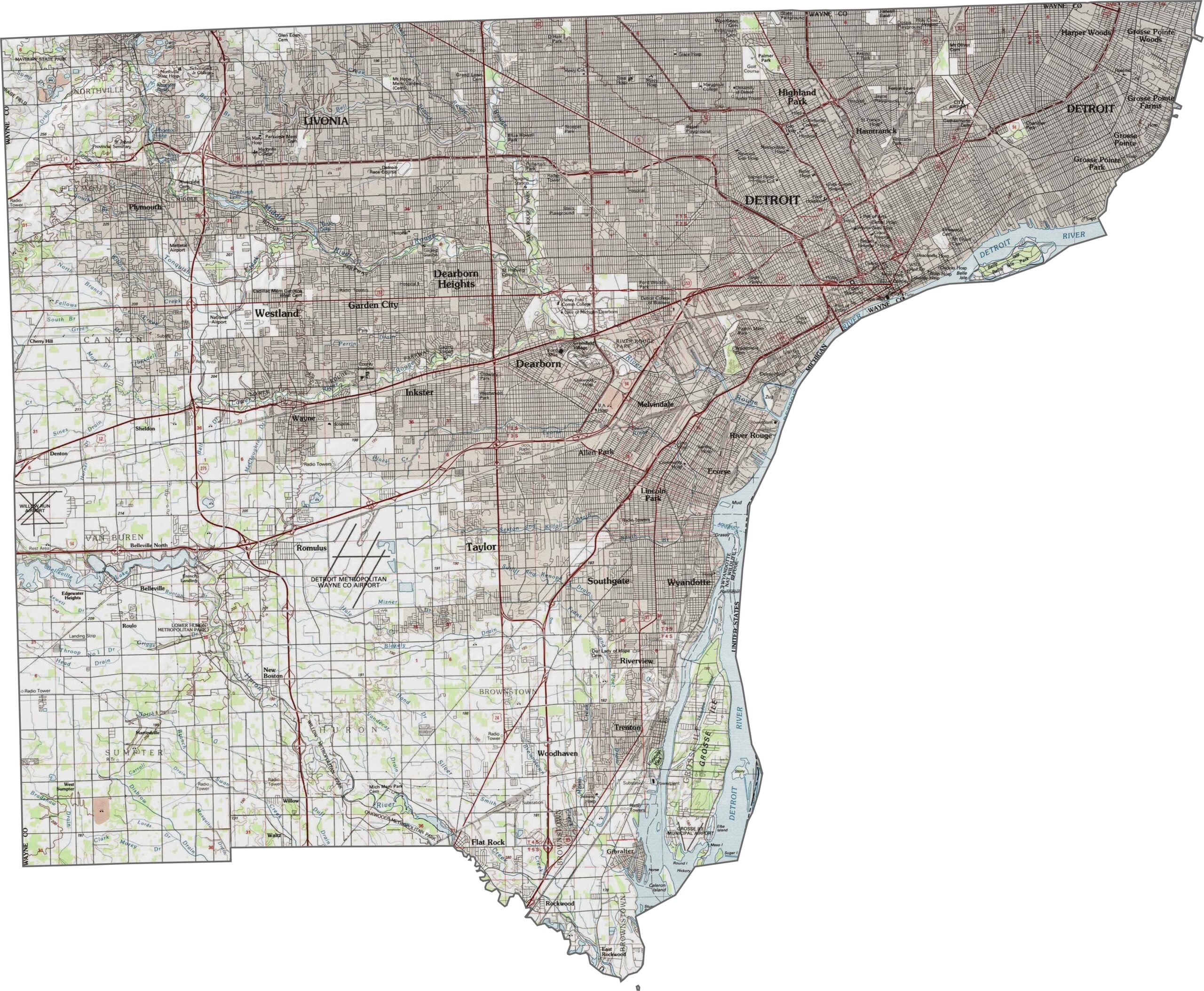
Wayne County is Michigan’s most populous county and includes the city of Detroit. The landscape is largely urban and developed, with the Detroit River and Huron River adding important natural features to the region. Use our topographic map and zoom tool to explore the county’s terrain, waterways, and geographic details in greater detail.
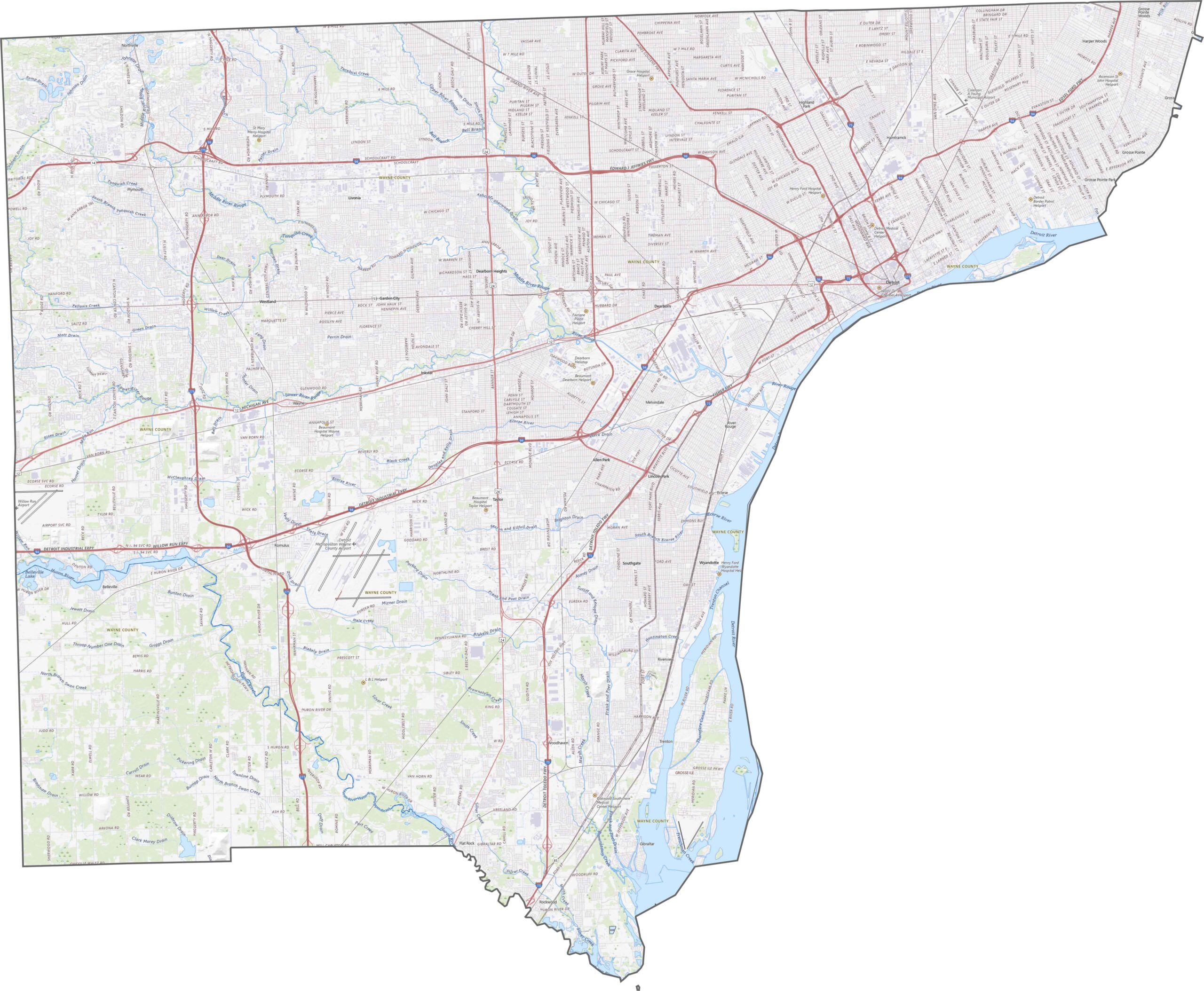
Wayne County has an extensive network of major highways serving Detroit and its surrounding communities. I-75, I-94, and I-96 cross the county and provide important regional connections, while I-275 loops through the outer suburban areas. A dense network of surface streets complements the major highways, supporting transportation throughout the heavily developed region.
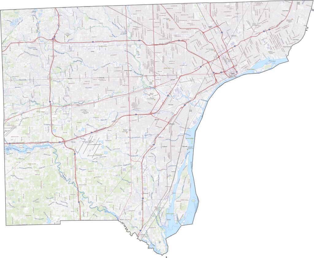
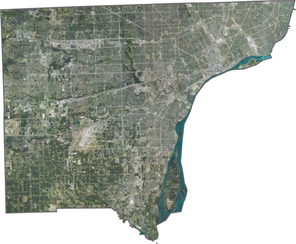
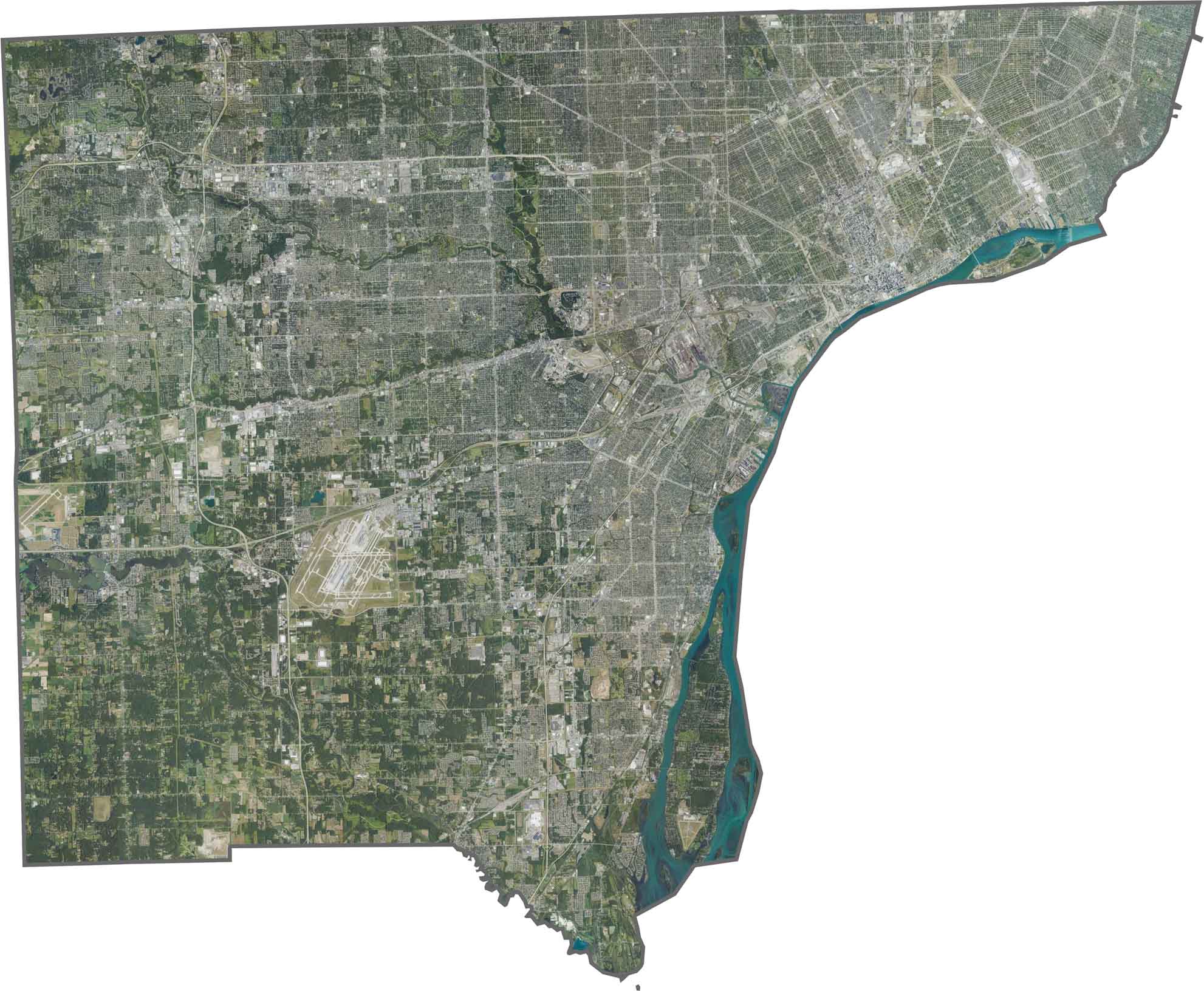
Our Wayne County satellite map shows dense urban development concentrated around Detroit, with suburban communities spreading across the surrounding areas. Patches of farmland, parks, and green spaces appear in less-developed sections, while the Detroit River forms a prominent boundary along the eastern side of the county.
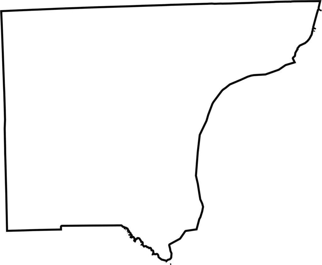
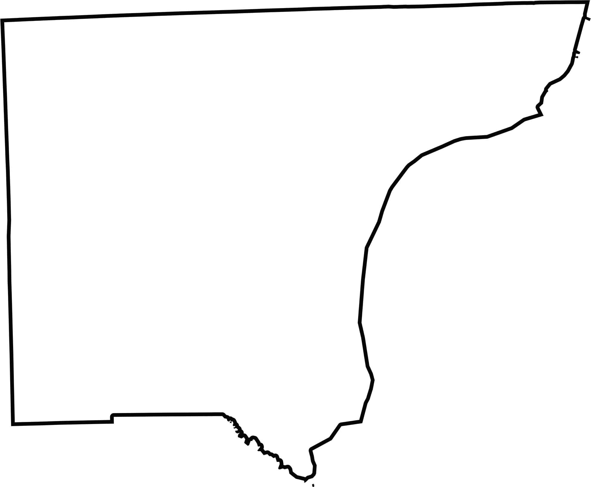
Wayne County has an irregular outline shaped by its waterways and urban geography. The Detroit River curves along the eastern side, while the Huron River helps define part of the southern boundary. Across the Detroit River, Canada lies directly east of the county, giving Wayne County an international border.







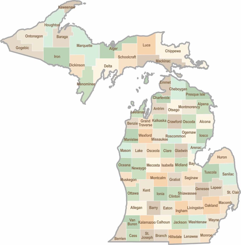
From Motown to moose sightings, Michigan’s 83 counties offer an impressive mix of urban energy, natural beauty, and outdoor adventure. Detroit celebrates its legendary Motown music heritage, while Ann Arbor brings a lively college-town atmosphere shaped by the University of Michigan. From the shores of the Great Lakes to the forests of the Upper Peninsula, the Mitten State delivers a diverse landscape filled with history, culture, and scenic attractions.