
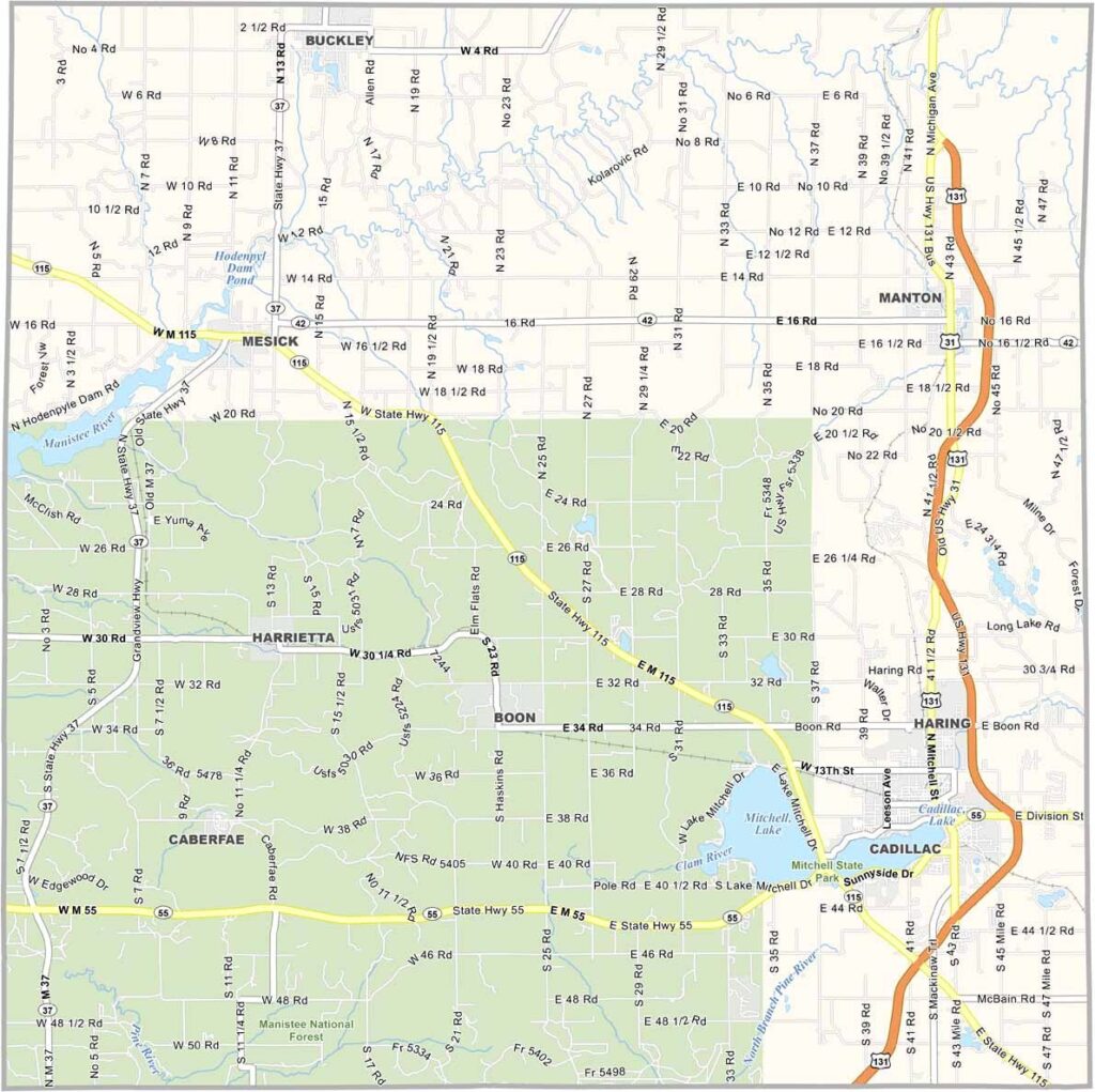
Wexford County Map, Michigan

Wexford County, Michigan

Wexford County sits in the heart of northern Michigan, about an hour southeast of Traverse City. Cadillac, the county seat, sits along the shores of Lake Cadillac and Lake Mitchell, giving the community a scenic waterfront setting.

The Manistee National Forest covers a large portion of the county’s southwestern area. Its vast wilderness attracts hikers, campers, hunters, and outdoor enthusiasts looking to explore northern Michigan’s natural beauty.

The county’s rich logging history comes alive at the Wexford County Historical Museum in Cadillac. Small communities such as Manton and Mesick add to the county’s charm with friendly diners, local businesses, and quirky shops.
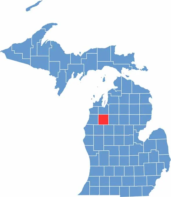

Wexford County location map of Michigan
CategoryDetails
County NameWexford County
County SeatCadillac
PopulationApproximately 34,000
Cities, Towns, and CommunitiesCadillac, Manton, Mesick, Harrietta, Buckley
Interstates and HighwaysUS 131, M-37, M-55
FIPS Code26-165
Total Area (Land and Water)575 square miles (Land: 565 sq mi, Water: 10 sq mi)
Adjacent Counties (and Direction)Grand Traverse County (North), Kalkaska County (Northeast), Missaukee County (East), Osceola County (Southeast), Lake County (Southwest), Manistee County (West), Benzie County (Northwest)
Time ZoneEastern Time Zone (ET)
StateMichigan
Coordinates44.3377° N, 85.5200° W
EtymologyNamed after County Wexford in Ireland
Major LandmarksHuron-Manistee National Forest, Mitchell State Park, Clam Lake Canal, Caberfae Peaks Ski Resort
Scroll to Top





