
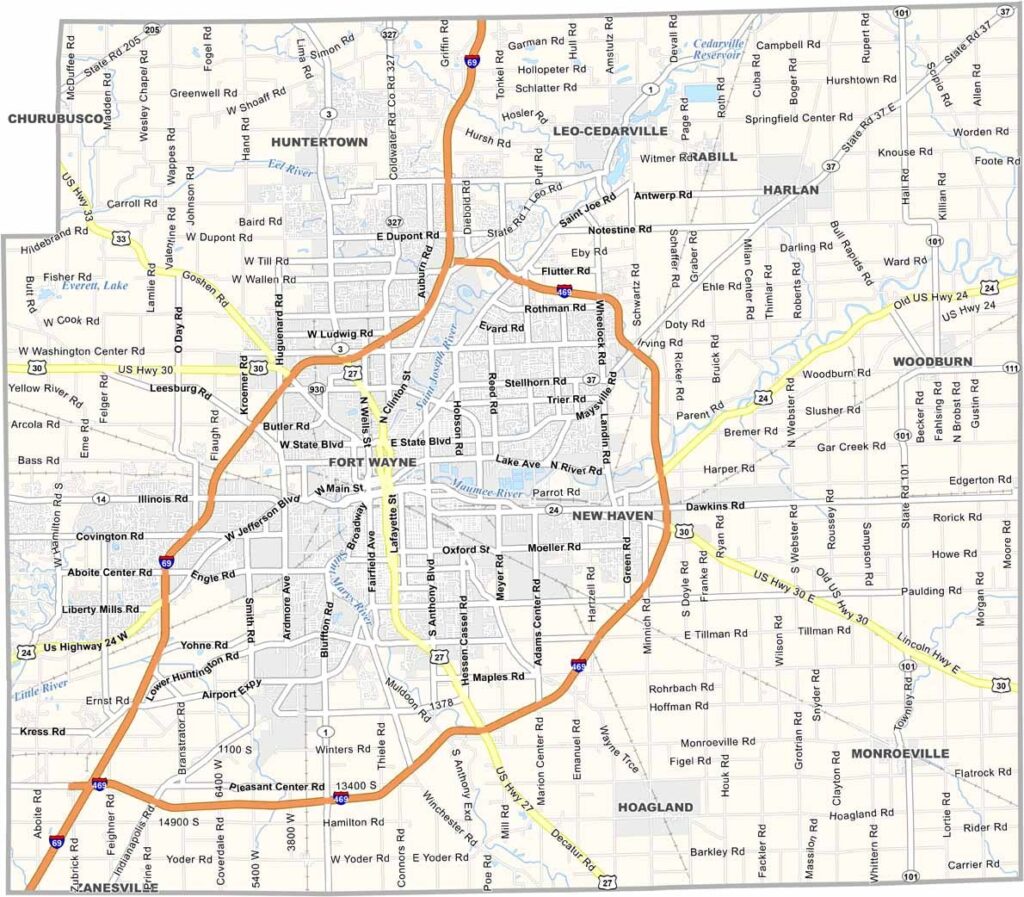
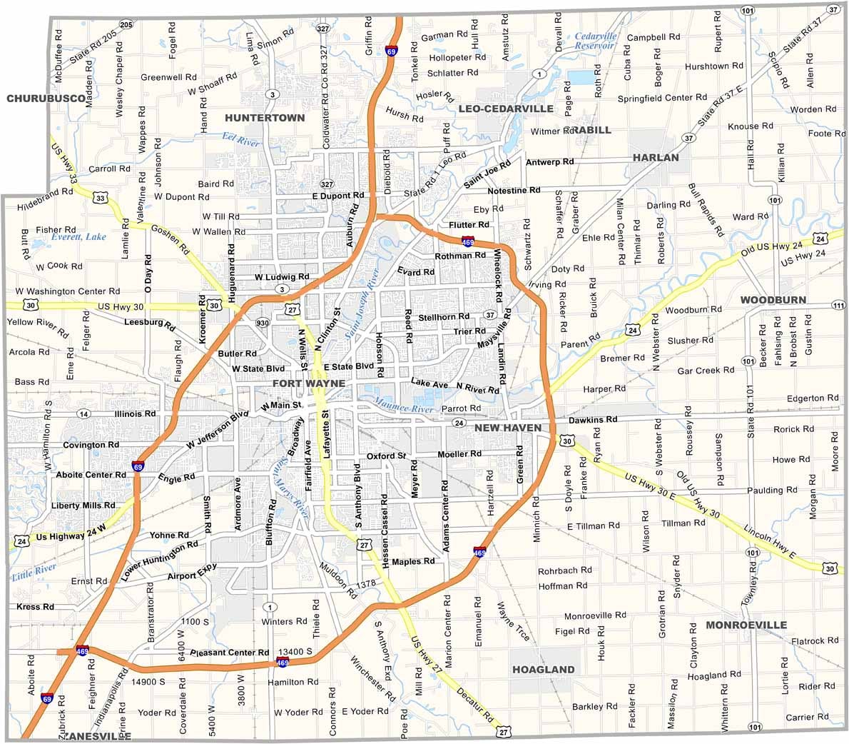
Allen County is the largest county in northeastern Indiana, with Fort Wayne serving as its main urban and economic center. Three major rivers—the St. Marys, St. Joseph, and Maumee Rivers—shape the county’s landscape and have played an important role in its local culture and development.
Fort Wayne Children’s Zoo is one of the area’s major attractions, drawing families from throughout the region. History enthusiasts can also visit Old Fort, a reconstruction of the original fort built in 1815, offering a glimpse into the area’s early history.
The Allen County economy has expanded beyond its traditional manufacturing base to include healthcare, education, and technology. The county also features an extensive parks system, providing numerous opportunities for outdoor recreation across its large area.
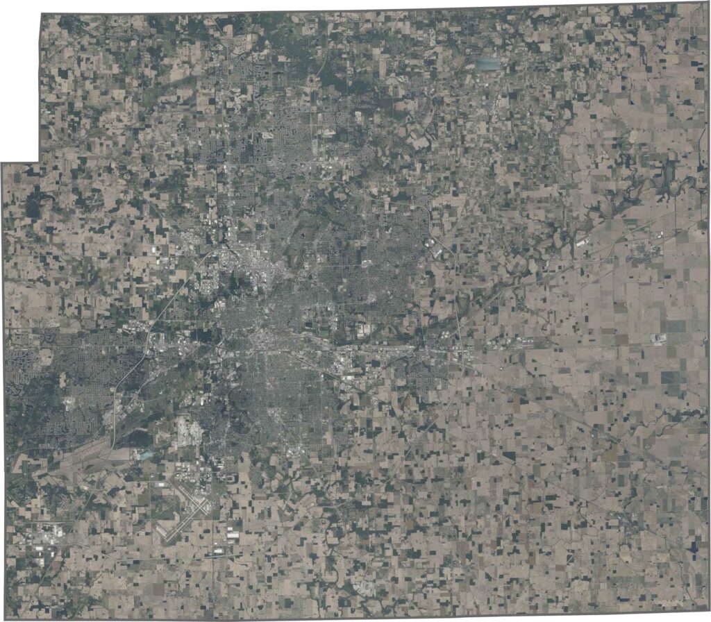
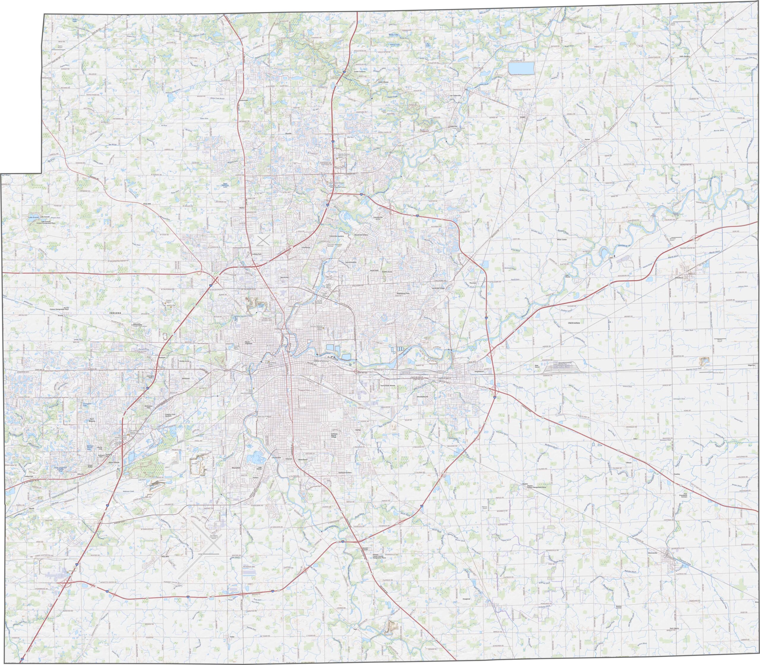
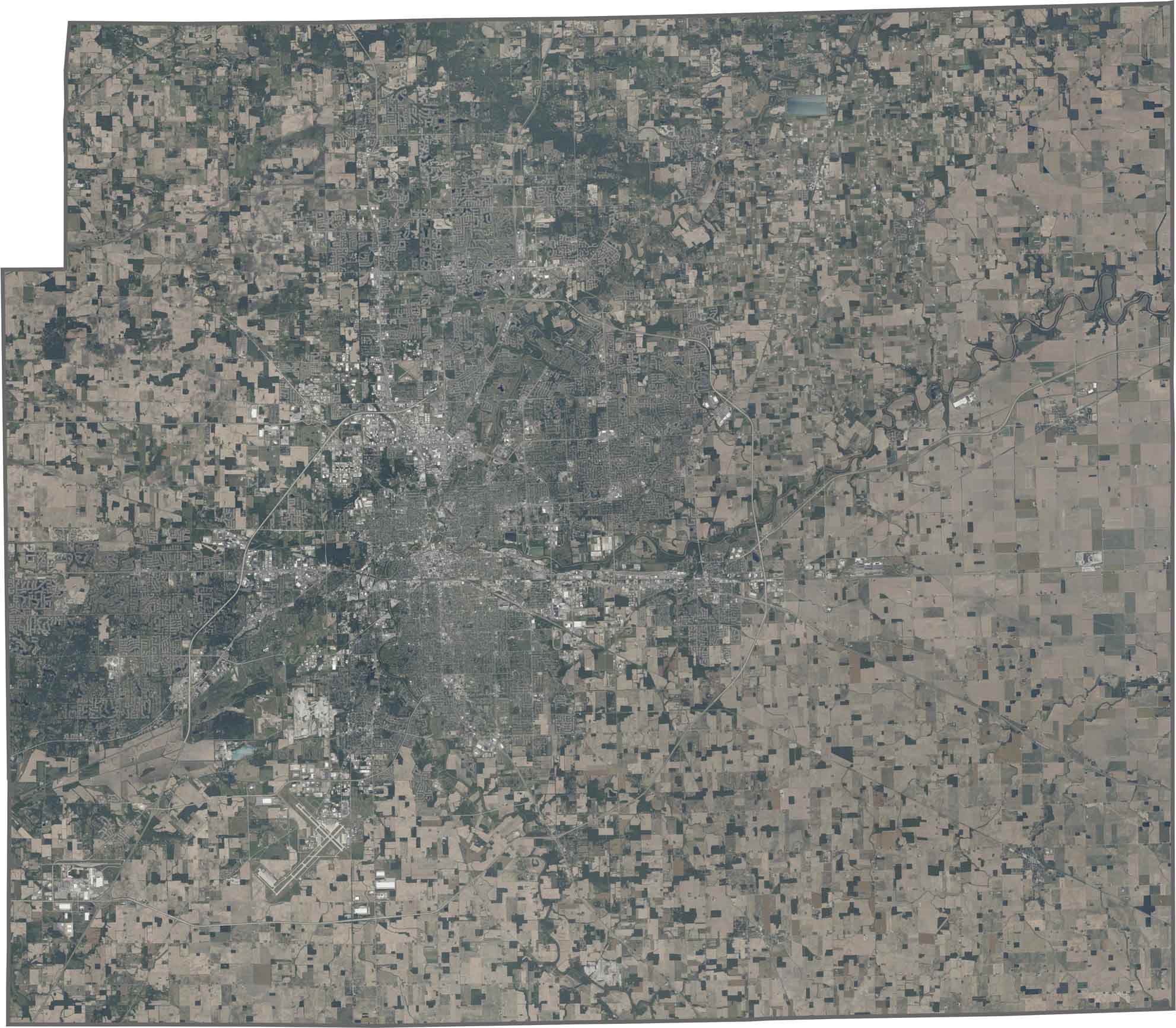
The landscape of Allen County is mostly flat, shaped by glaciers thousands of years ago. Shallow valleys follow the paths of the Maumee and St. Joseph Rivers, while remaining farmland surrounds the growing urban area of Fort Wayne. Explore these landscape changes in detail using our interactive zoom tool.
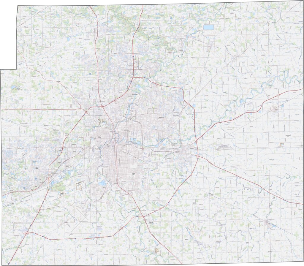
Fort Wayne’s street network spreads outward from the downtown area, while two major rivers meet within the city and create a distinctive Y-shaped pattern. Beyond the developed areas, large agricultural fields are arranged in neat, geometric sections across the countryside.
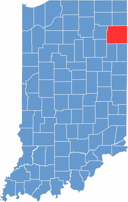
The Allen County outline is roughly rectangular, with no state borders along its edges. Instead, the county is surrounded by neighboring Indiana counties, creating a continuous regional landscape.








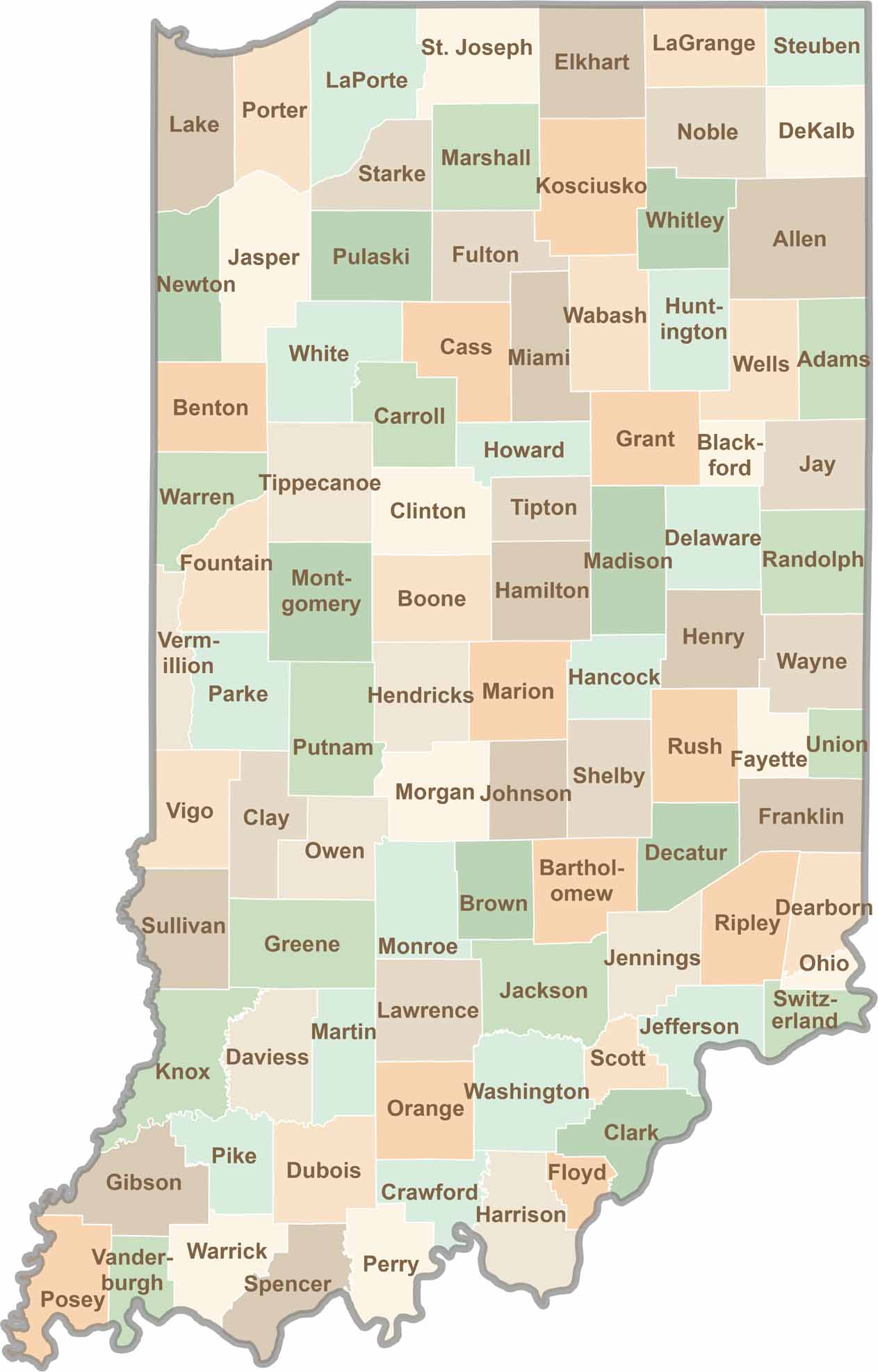
Explore the Hoosier State, home to 92 counties filled with scenic backroads, impressive skyline views, and charming small towns. Think of this as your glovebox passport to Indiana, guiding you to classic diner pies, covered bridges, and stunning Lake Michigan sunsets.