
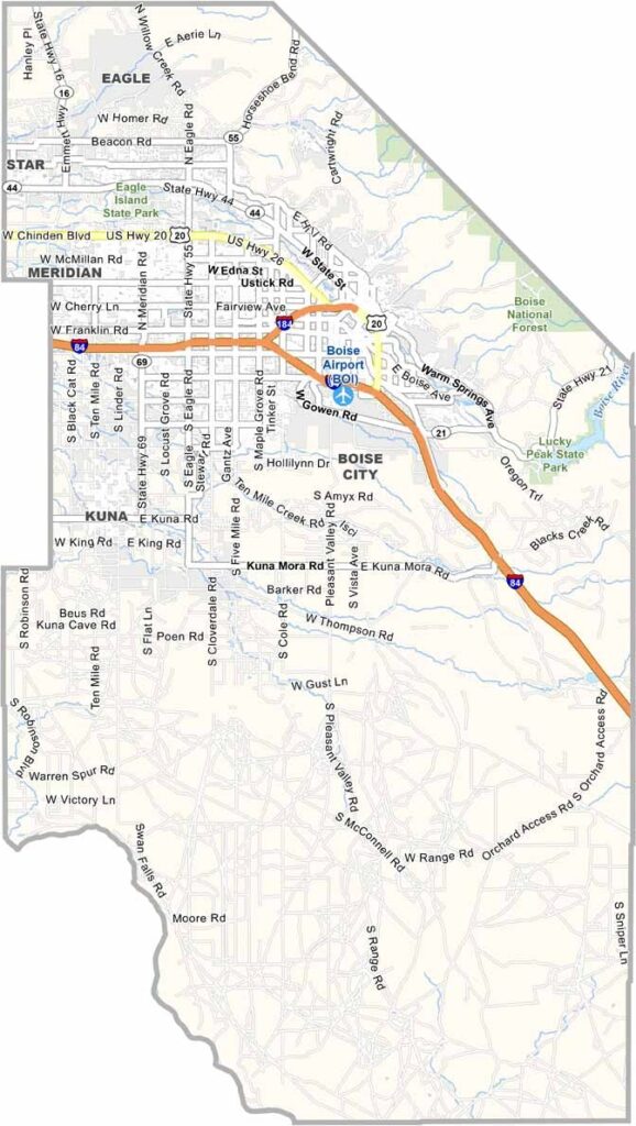
Ada County sits in the heart of Idaho’s Treasure Valley, with Boise, the state capital, serving as its urban center. The Boise River runs through the city, bordered by a popular greenbelt that attracts cyclists, joggers, and outdoor enthusiasts. North of Boise, the foothills rise into a network of scenic hiking trails.
The area has experienced rapid growth, attracting tech companies and new residents seeking a lower-cost alternative to California. While locals sometimes complain about the expanding population and development, the growth has also brought new restaurants, businesses, and entertainment options.
Suburban development continues to spread across former farmland, with Meridian and Eagle among the fastest-growing communities. Downtown Boise offers a surprisingly lively food and nightlife scene, while Boise State University’s blue football field remains a major local point of pride. With opportunities for skiing, mountain biking, and fly fishing, Ada County makes it possible to enjoy several different outdoor adventures in a single day.
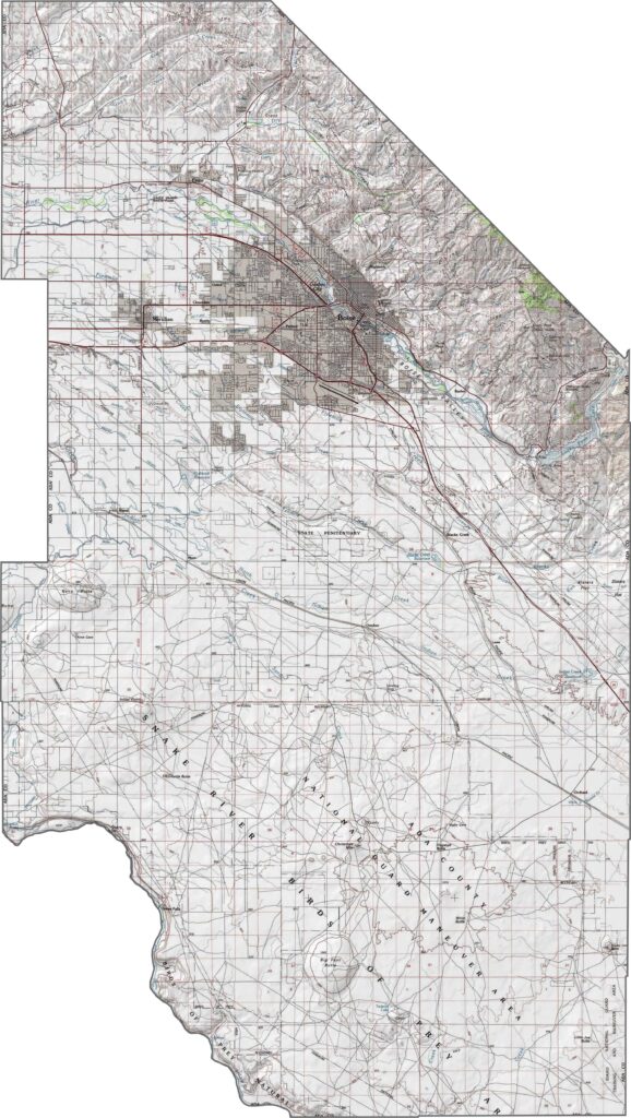
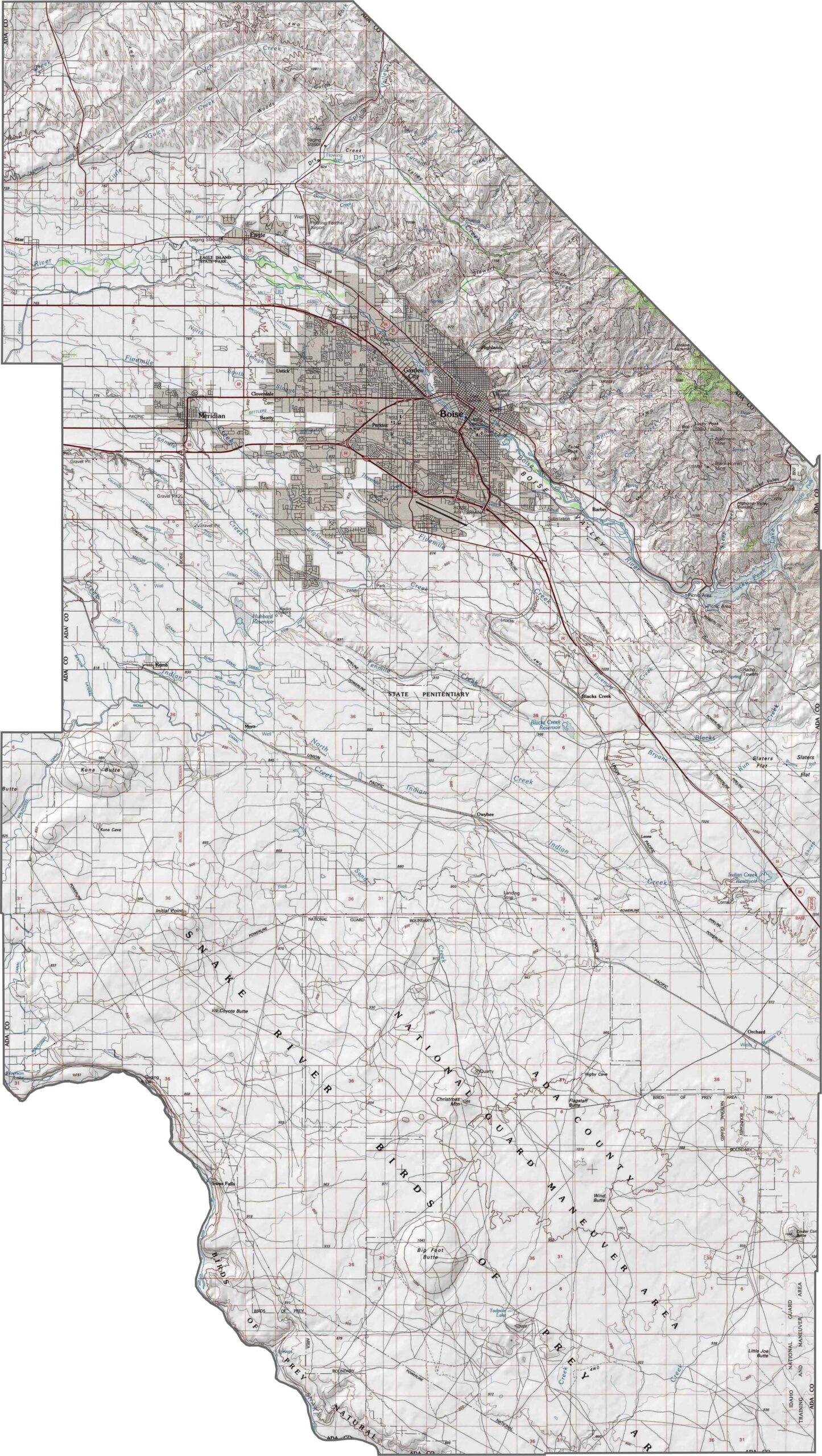
Our Ada County topographic map highlights the scenic Boise foothills, with rolling golden slopes rising behind the city. The Boise River winds through the valley, creating a green corridor through the surrounding urban development. The changing terrain makes this topographic map of Ada County especially interesting for exploring the area’s natural landscape.
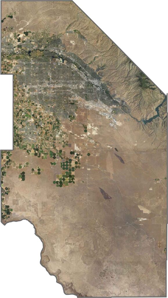
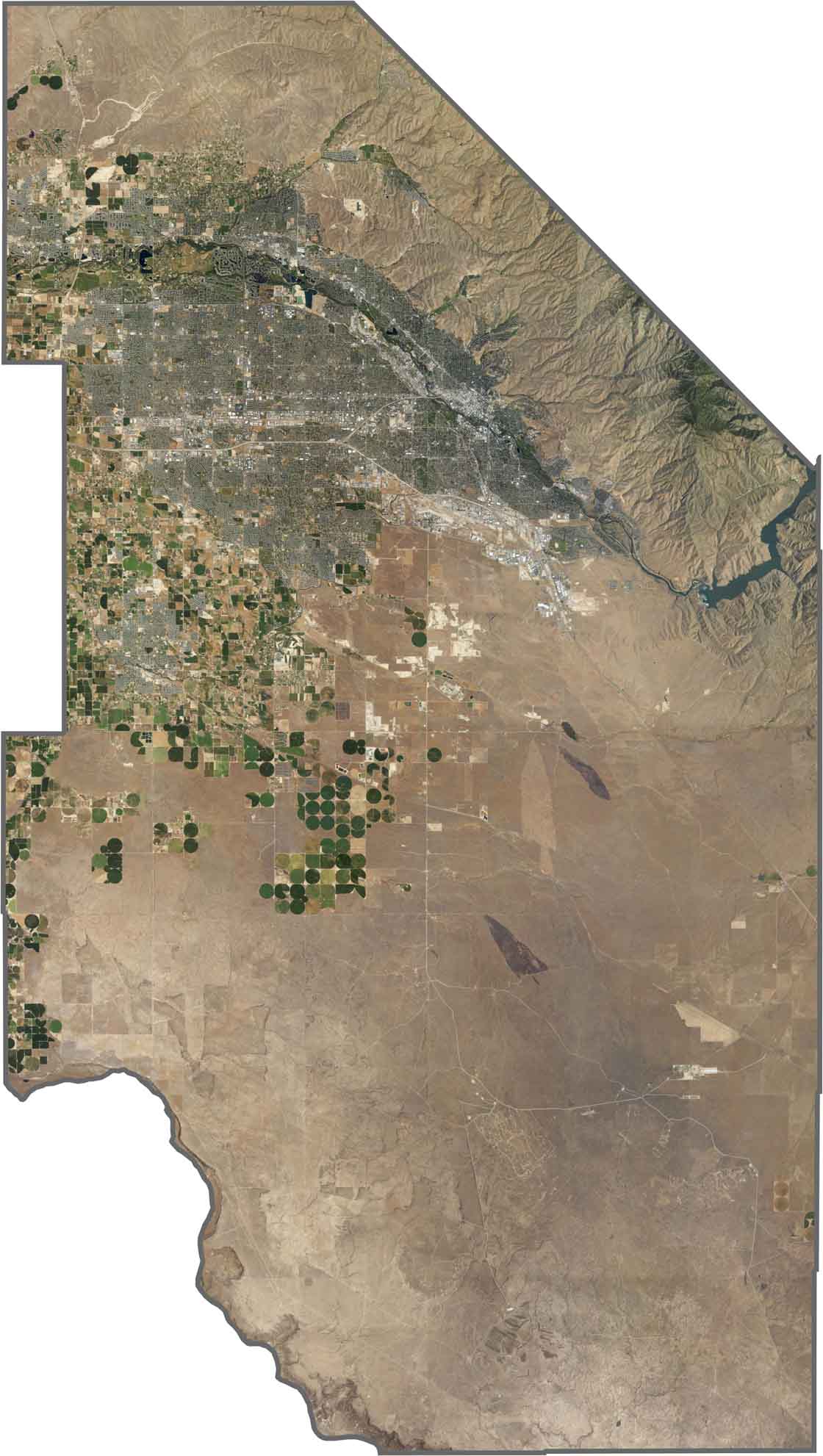
From above, the Ada County satellite map reveals a striking mix of urban development and natural scenery. Boise’s neighborhoods spread across the valley in organized grids, while the Boise River winds through the landscape like a green thread. To the north, the foothills combine golden grasslands and dark forested areas.
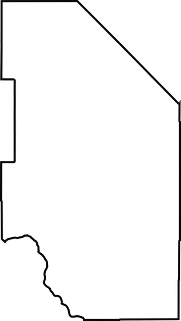
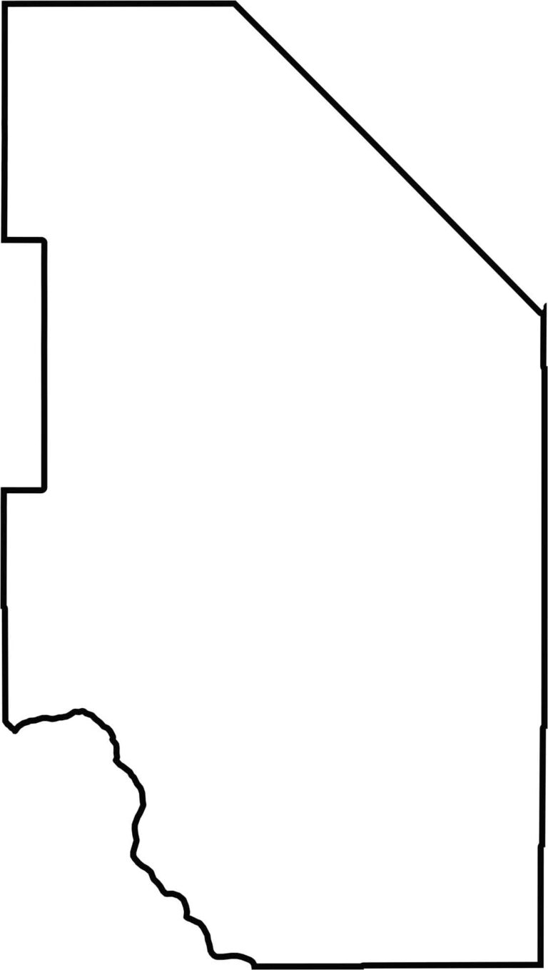
The Ada County outline map has a roughly rectangular shape, with several subtle irregularities along its boundaries. The southwestern corner meets the Snake River, creating a border with Owyhee County. Although the boundaries aren’t perfectly straight, they give Ada County its distinctive geographic outline.
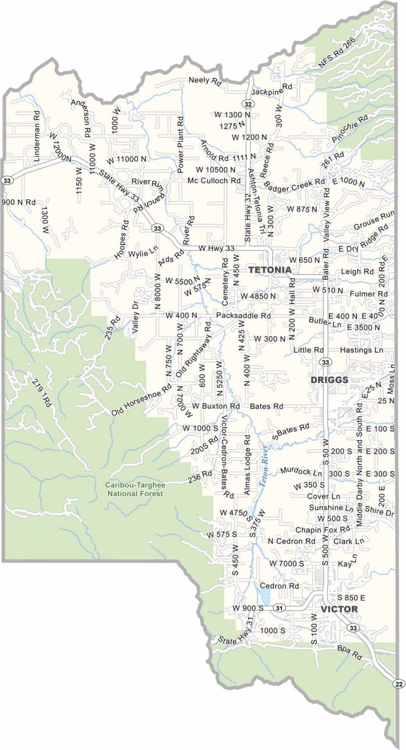
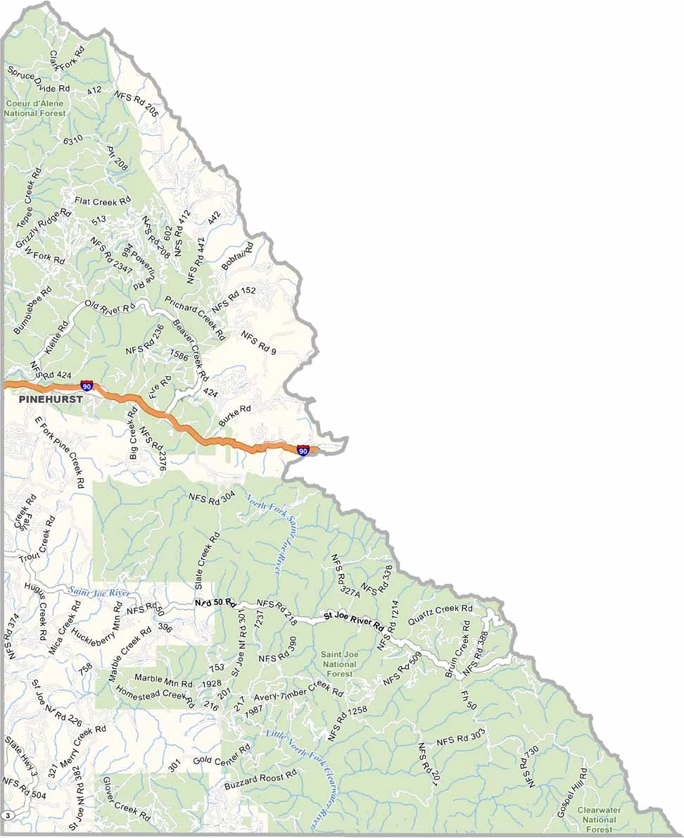
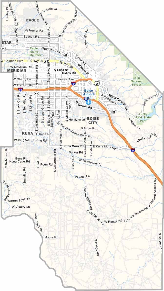
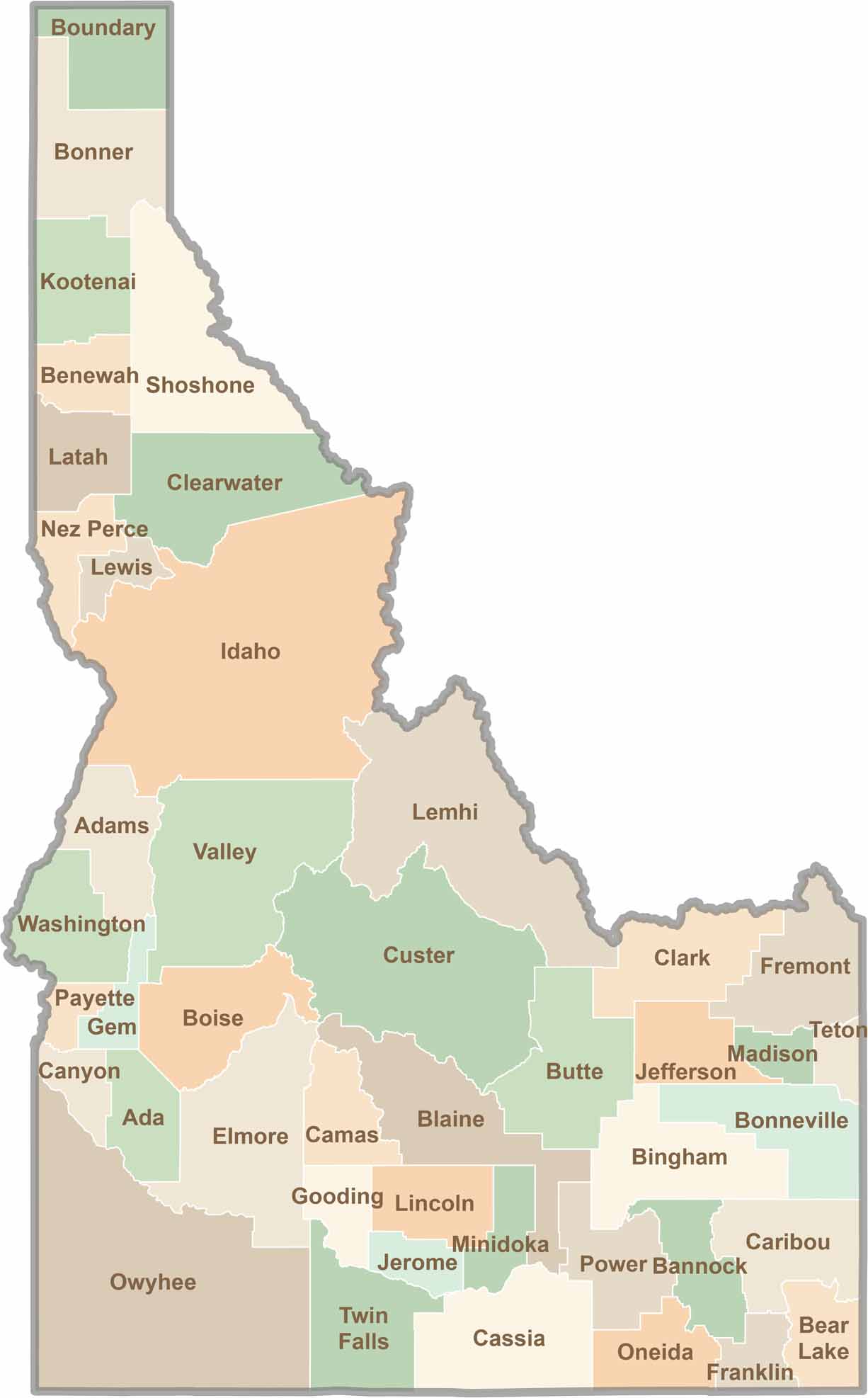
Discover the diverse landscapes of Idaho’s counties, from rugged mountain ranges and rolling plains to expansive forests and wild backcountry. Explore the vibrant heart of Boise, the scenic wilderness of Teton County, and the untamed forests of Shoshone County, each offering a unique glimpse into Idaho’s natural beauty.