
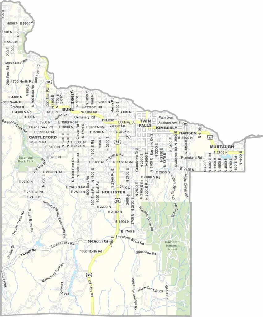
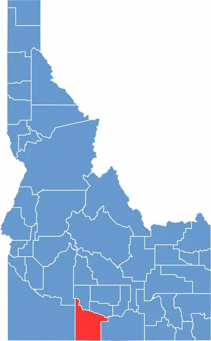
Twin Falls County is in southern Idaho, right along the Nevada border. Shoshone Falls is the big attraction here, often called the “Niagara of the West.” Twin Falls serves as the county seat and is easily the biggest city in the area.
Much of the county is fairly flat, but the Snake River Canyon is anything but ordinary. Agriculture is a huge part of life here, with dairy farms and potato fields stretching across the landscape. Farming traditions run deep, although newer industries and technology businesses are starting to make their mark.
If you’re looking for an adrenaline rush, Perrine Bridge is famous for its base jumping. It’s one of the few places in the country where the sport is legally allowed year-round. Add in the Snake River and its dramatic canyon, and Twin Falls County has plenty of scenery and adventure packed into one corner of Idaho.
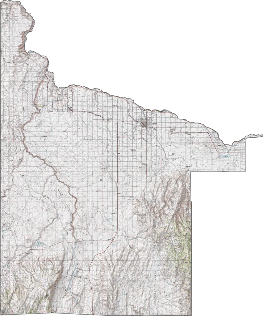
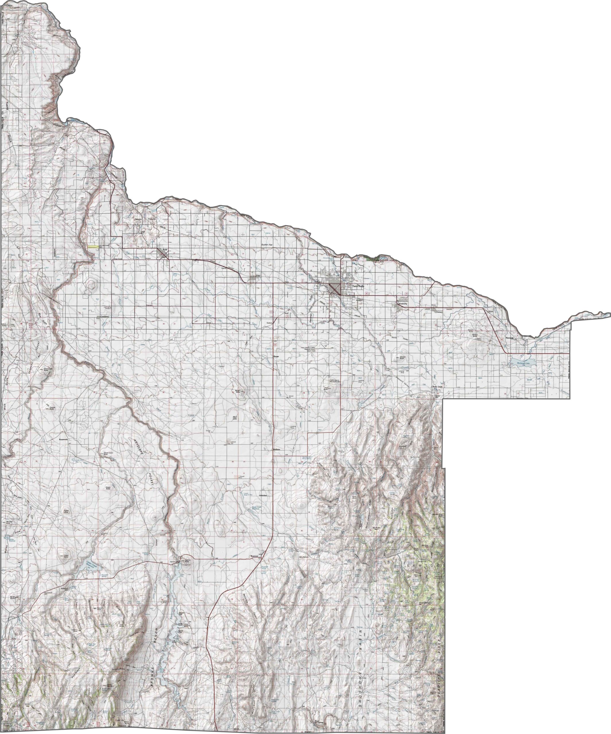
Get to know Twin Falls County with our topographic map. Salmon Creek Falls Reservoir stands out with its steep cliffs and Browns Bench. Zoom in and you’ll get a great look at the rugged terrain that makes this part of Idaho so interesting.
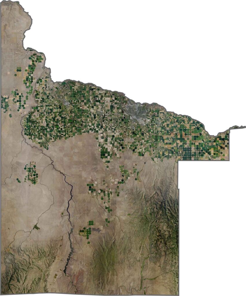
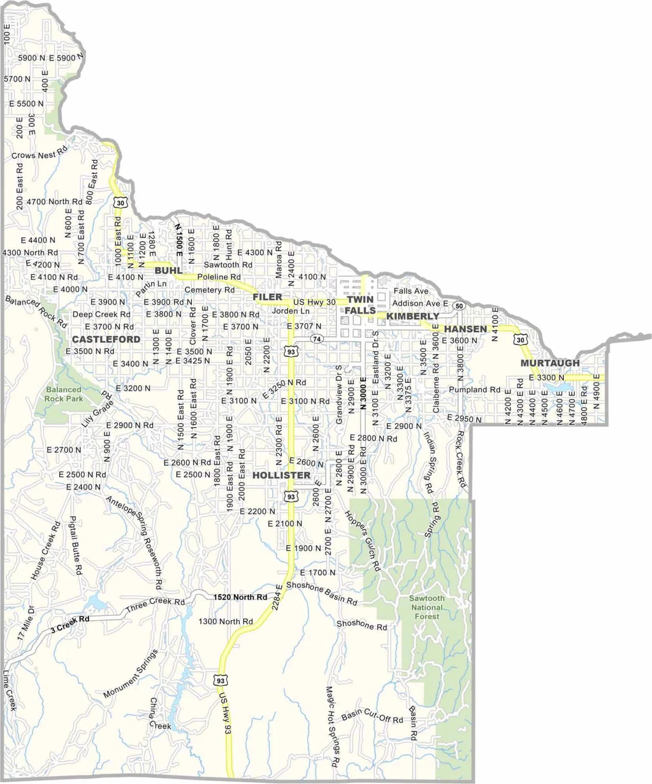
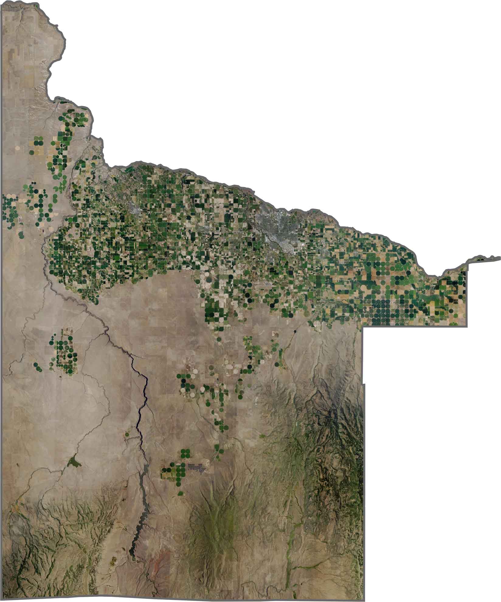
Twin Falls County looks pretty dramatic from above. Farmland spreads across much of the northern region, with the City of Twin Falls serving as the main hub. Head south, and the landscape changes quickly, making the Snake River Canyon feel even more impressive.
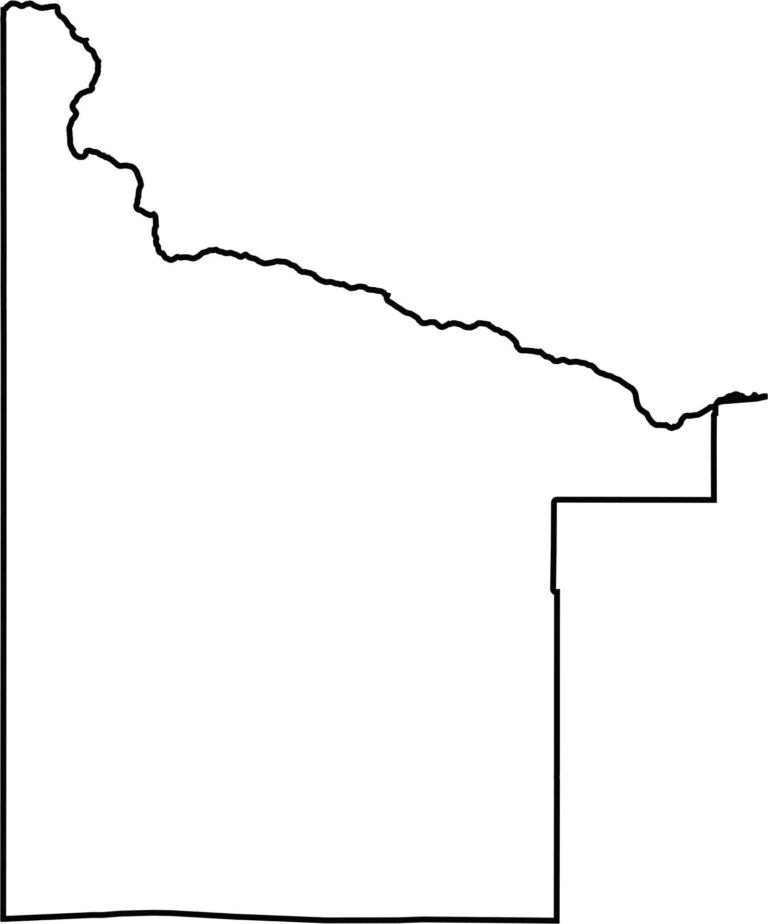
Twin Falls County has a big, uneven outline, with a chunk taken out of the northeast corner. Its borders mix smooth curves with sharp angles, giving the county a rugged, almost hand-drawn look. The Snake River forms part of the northeastern boundary, while the southern edge meets Nevada.
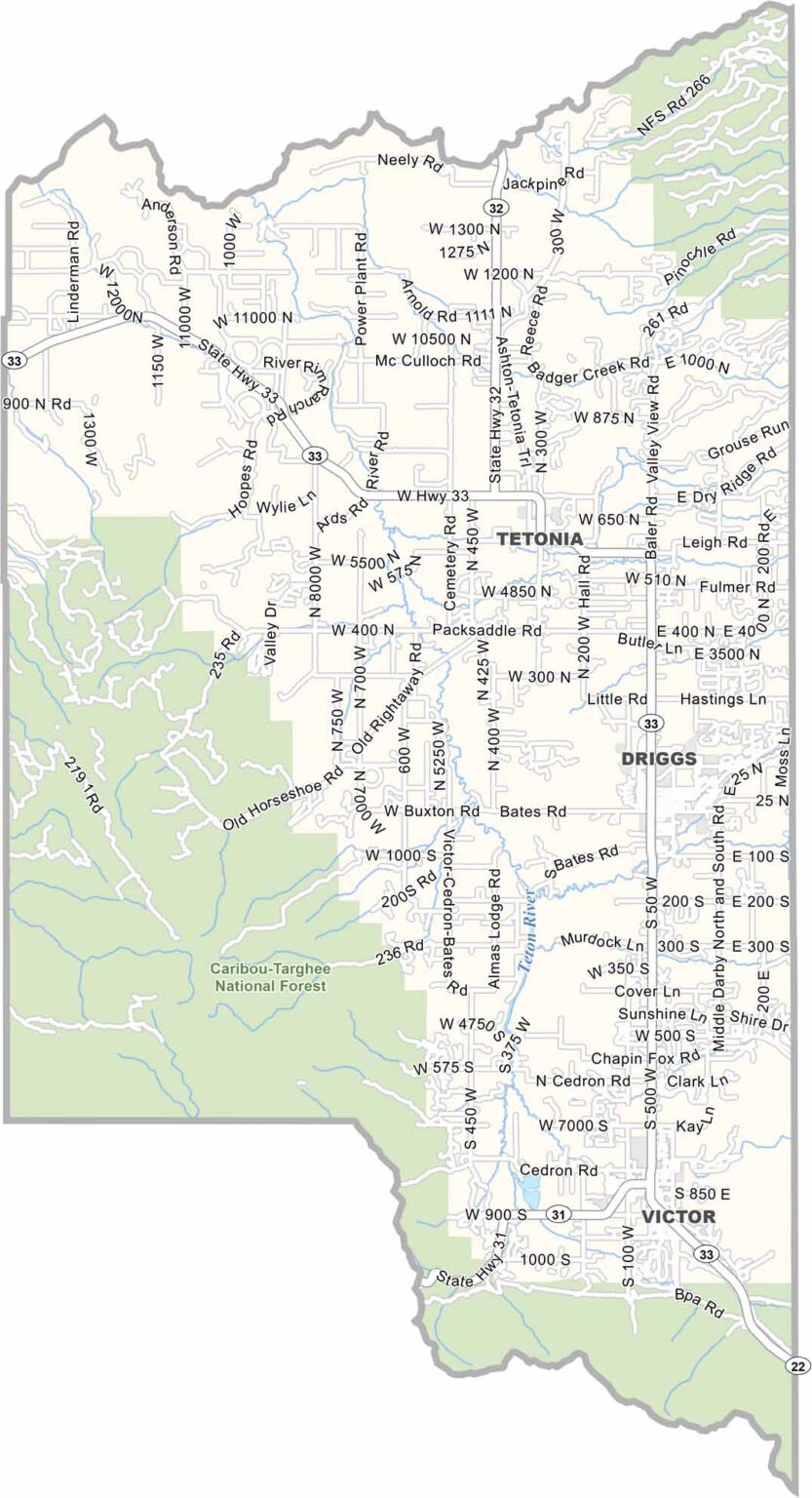
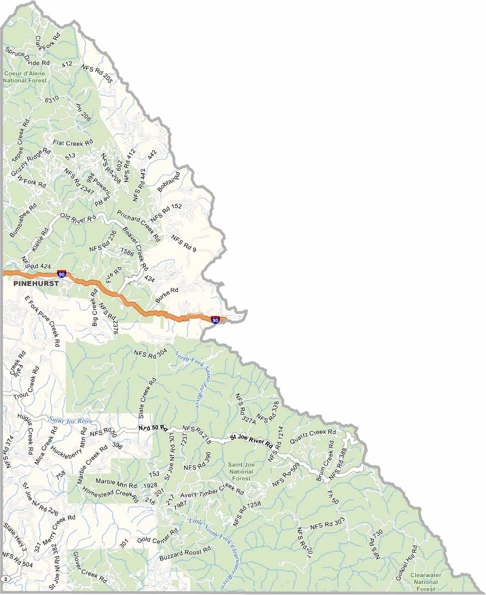


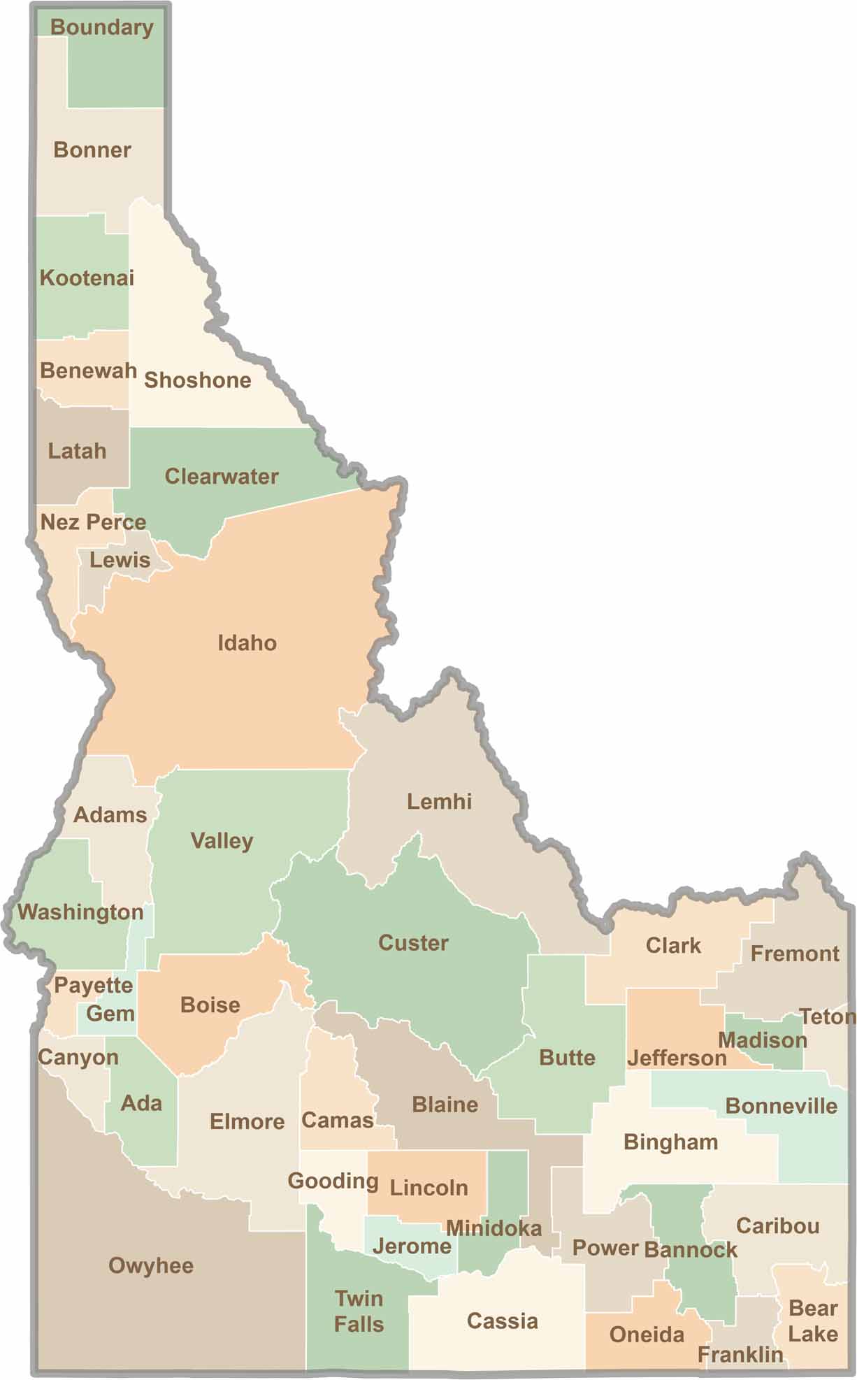
Discover the diverse landscapes of Idaho’s counties, from rugged mountain ranges and rolling plains to expansive forests and wild backcountry. Explore the vibrant heart of Boise, the scenic wilderness of Teton County, and the untamed forests of Shoshone County, each offering a unique glimpse into Idaho’s natural beauty.