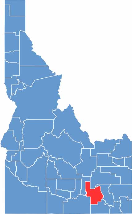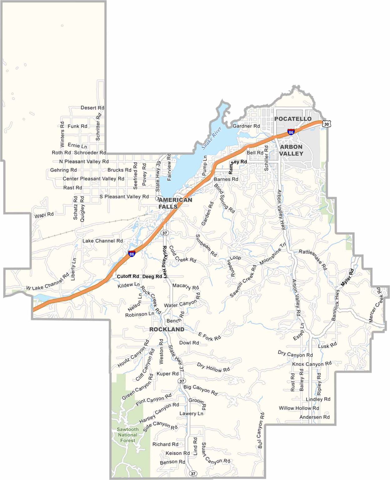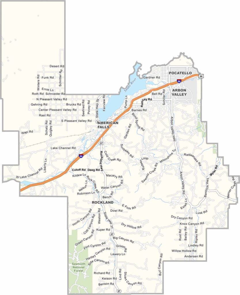
Power County is in southeastern Idaho, with American Falls serving as the county seat. The town gets its name from a waterfall that now lies beneath the reservoir. Power County isn’t particularly large, but it packs plenty of Idaho character into its borders.
The Snake River runs through the county and is the lifeblood of the region. American Falls Reservoir covers a large area in the north, while the American Falls Dam has played an important role in the area’s water and agriculture. These days, the reservoir is also a popular destination for fishing, including sturgeon fishing, and boating.
Much of Power County is fairly flat, making it ideal for agriculture. Potato fields, wheat, and barley stretch across the landscape, with mountains visible in the distance. The combination of wide-open farmland and the massive reservoir gives Power County a classic southeastern Idaho feel.