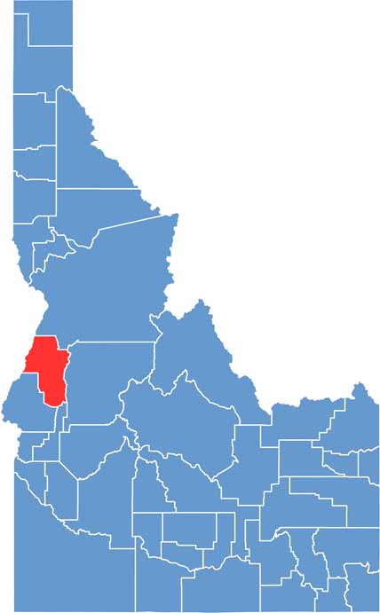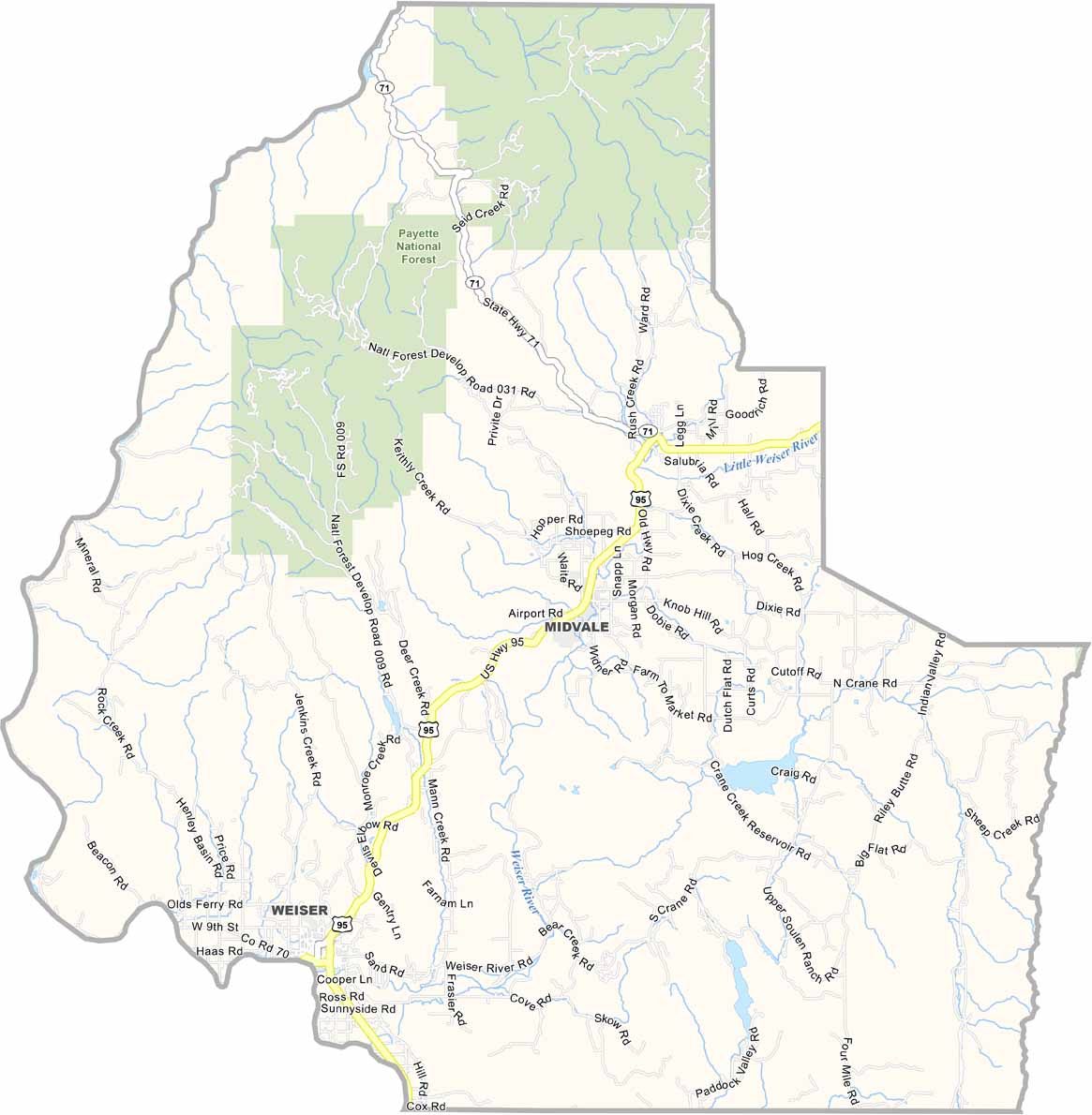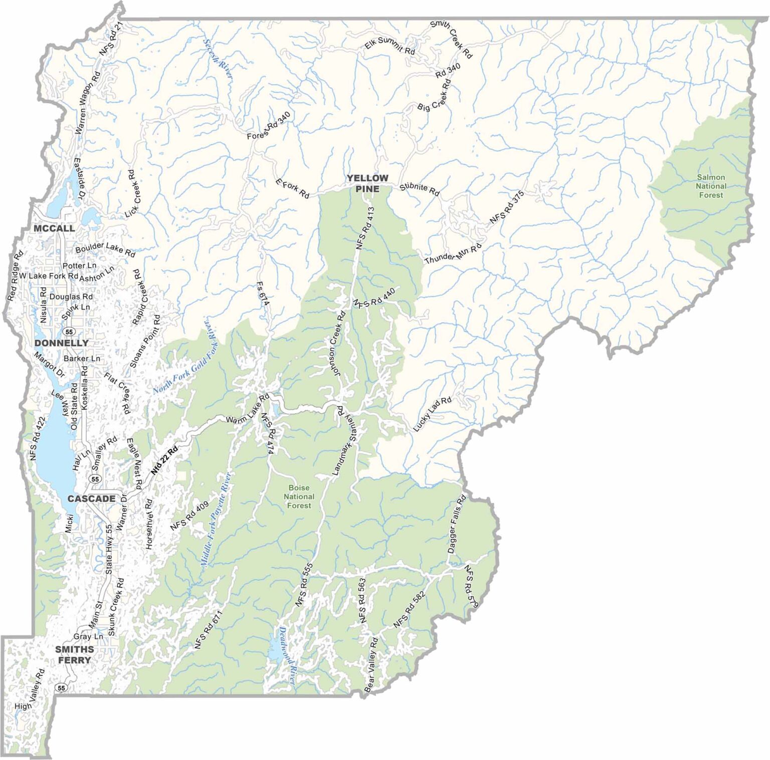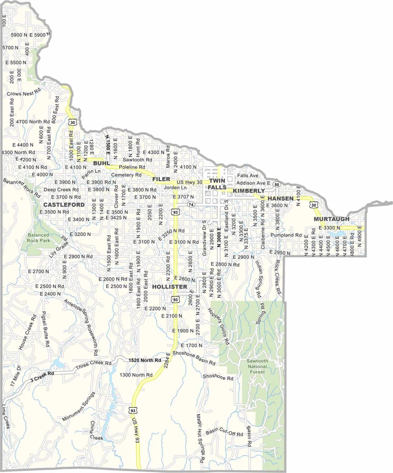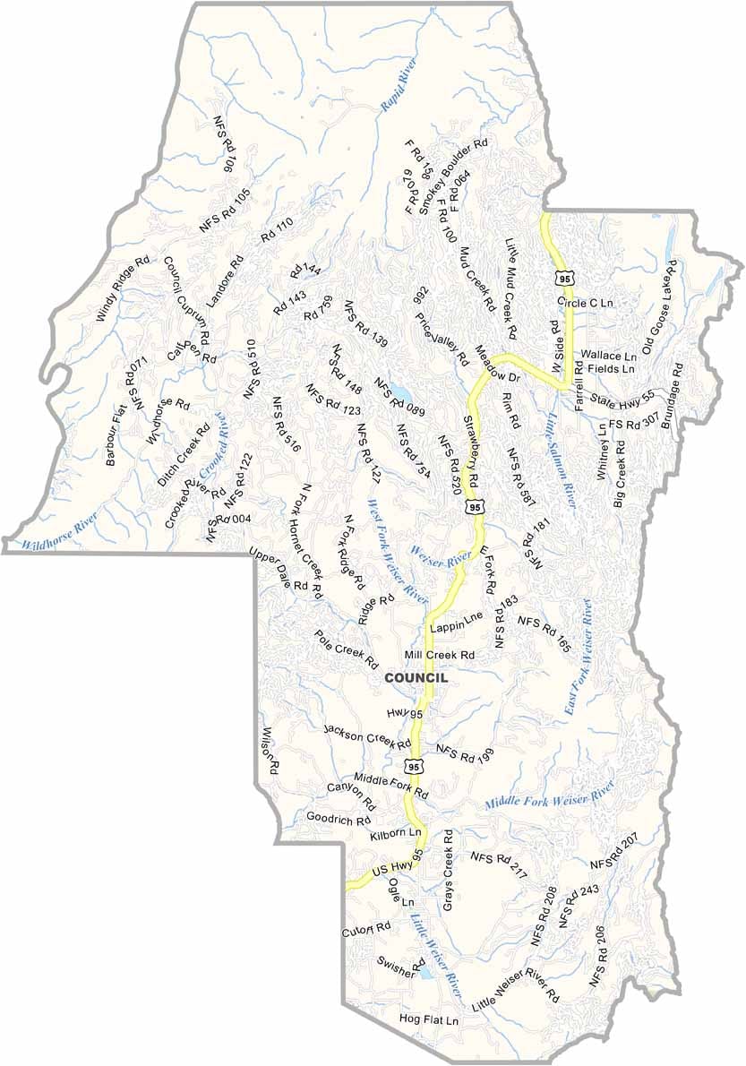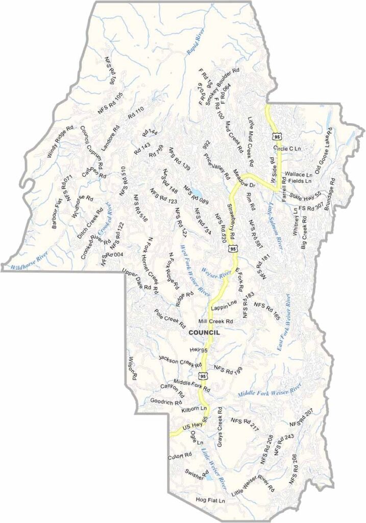
Adams County is a quiet, rural corner of western Idaho, stretching along the Snake River near the Oregon border. Council, the county seat, is a small community with a timeless, old-fashioned character. Ranching and logging remain important parts of the local economy.
Much of the county is covered by the Payette National Forest, providing abundant opportunities for hiking, camping, hunting, and other outdoor recreation. Elk hunting attracts visitors during the season, while Hells Canyon, known as North America’s deepest river gorge, forms part of the western boundary. Its dramatic scenery is spectacular, although much of the area can be difficult to access.
Like many rural communities, Adams County has experienced population decline as younger residents move toward larger cities. Those who remain appreciate the area’s independence, open spaces, and peaceful lifestyle. While you won’t find much nightlife or upscale dining, you will find stunning night skies, rugged landscapes, and friendly small-town communities.