
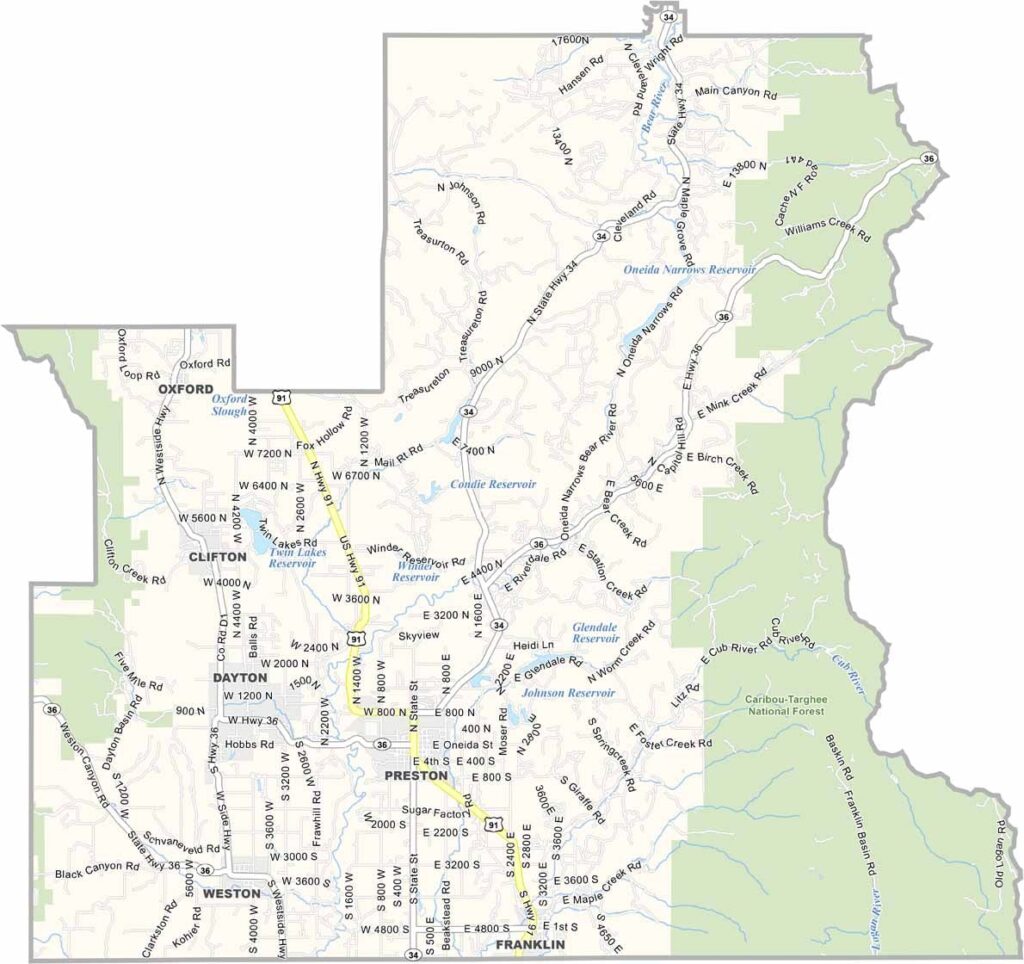
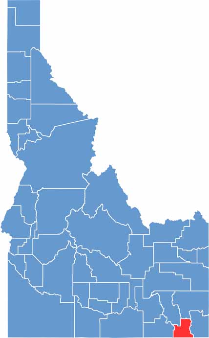
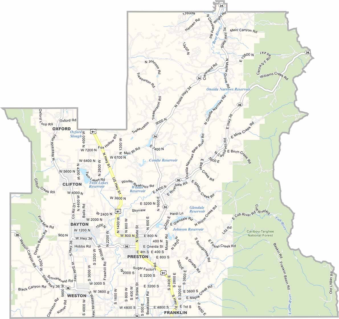
Franklin County sits in the southeastern corner of Idaho, directly along the Utah border. Preston, the county seat, is best known as the setting of the movie Napoleon Dynamite, a connection that has become a familiar part of the community’s identity.
The county is predominantly rural, with small towns scattered throughout the valley. It has a strong Mormon community, while the Bear River winds through the region, providing water for local farms and ranches. The area is well suited for growing hay and raising cattle.
The reservoirs offer excellent opportunities for fishing, while the nearby mountains provide popular hunting grounds. The historic Oregon Trail also passed through the area. Residents value tradition, family, and community, while the countryside offers quiet beauty with rolling hills and distant mountain views.
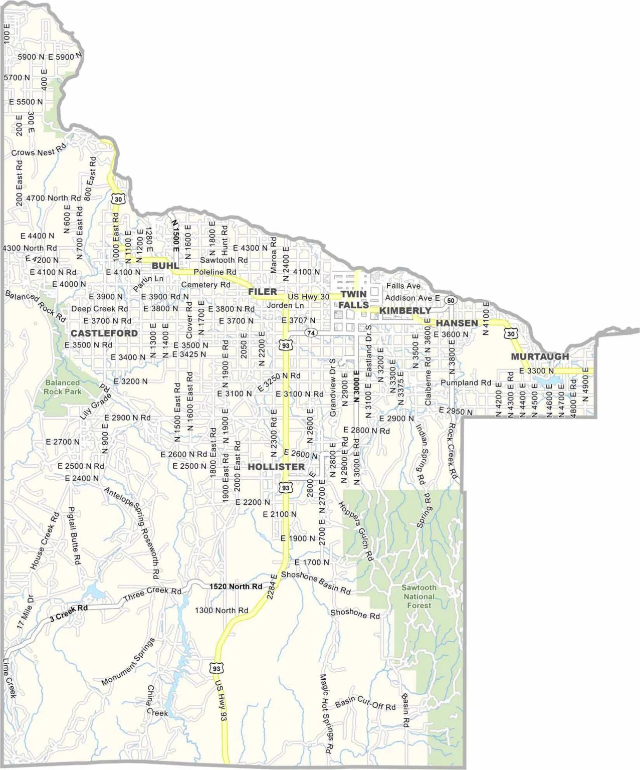
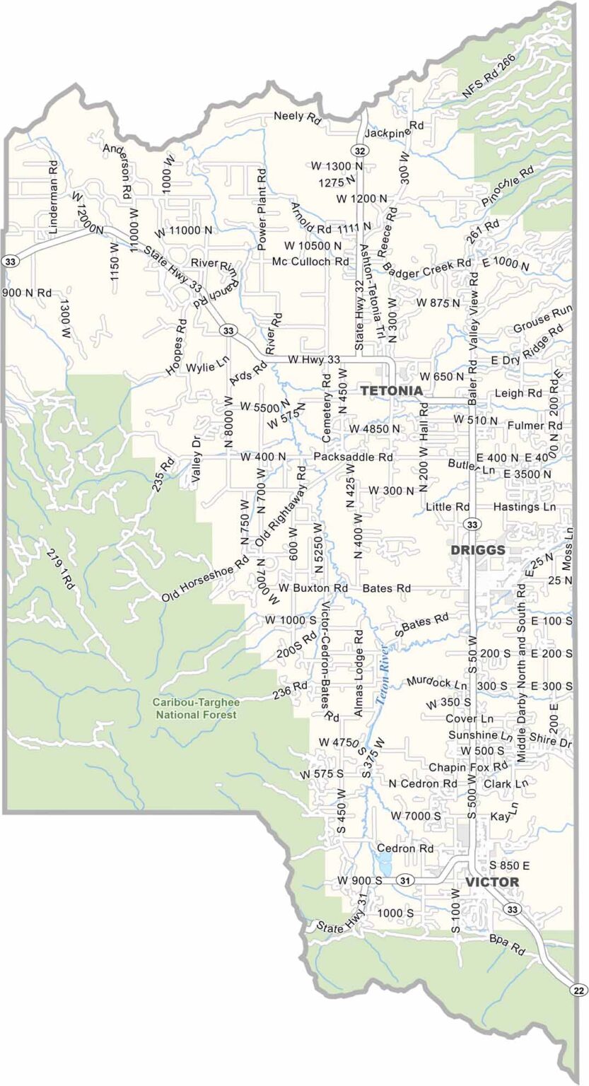
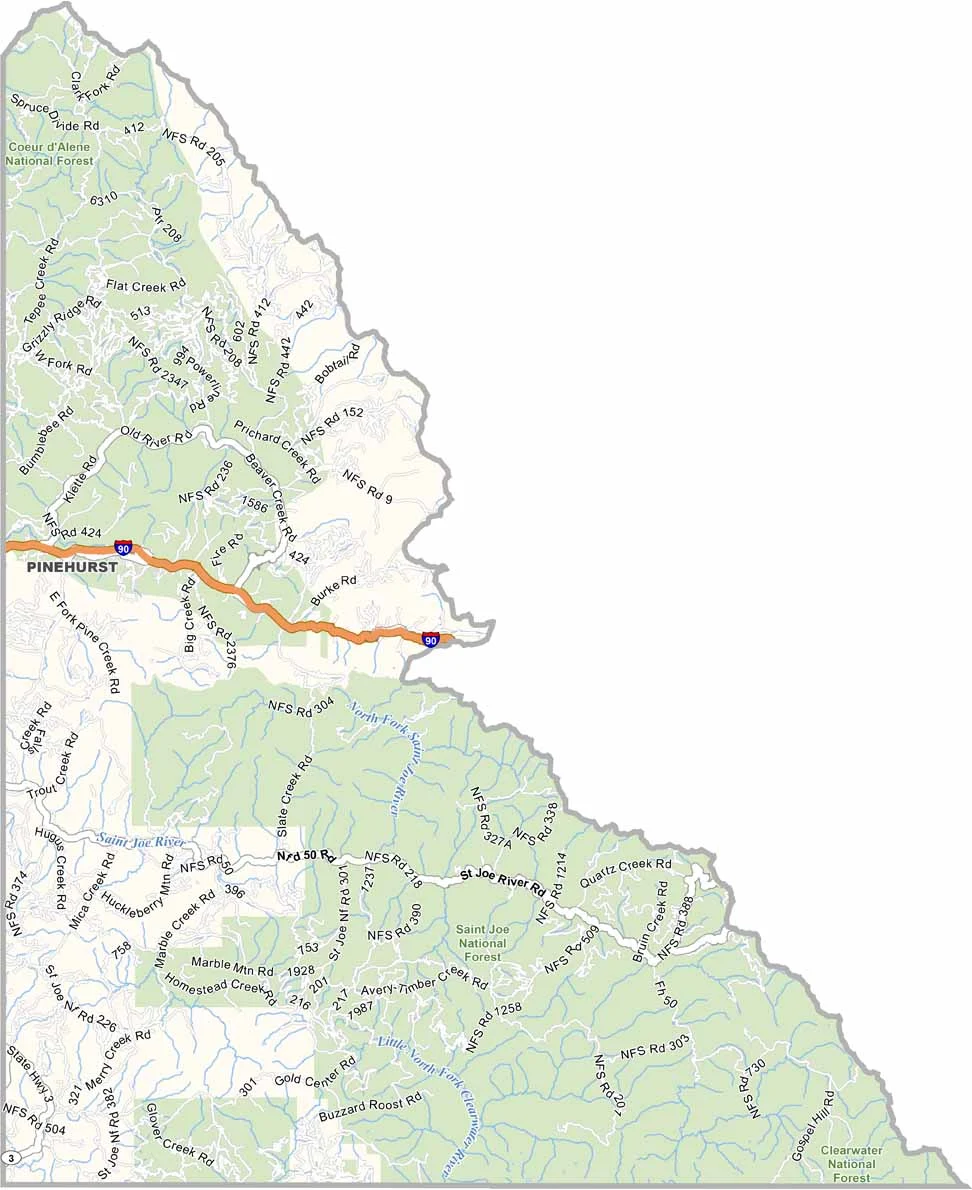
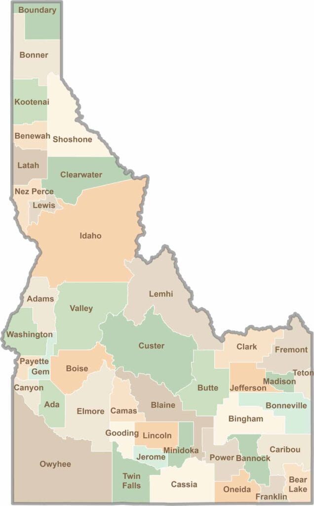
Discover the diverse landscapes of Idaho’s counties, from rugged mountain ranges and rolling plains to expansive forests and wild backcountry. Explore the vibrant heart of Boise, the scenic wilderness of Teton County, and the untamed forests of Shoshone County, each offering a unique glimpse into Idaho’s natural beauty.