
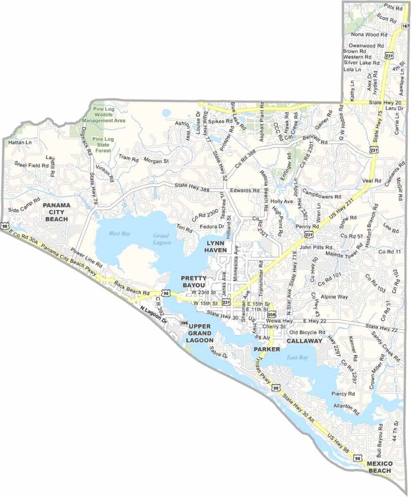
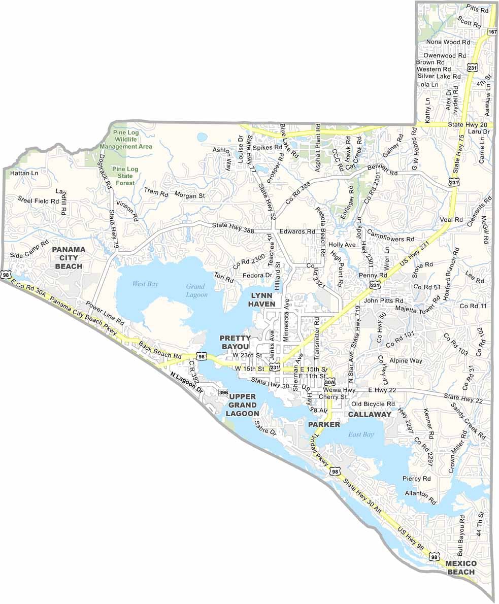
Bay County hugs Florida’s Gulf Coast in the Panhandle, with Panama City Beach serving as its most famous destination. Visitors come for the sugar-white sands, emerald waters, and beautiful coastal scenery.
But Bay County is more than just its beaches. The area offers a mix of urban communities and natural landscapes, while Tyndall Air Force Base plays an important role in the local economy. Fishing is a major part of life here, both recreationally and commercially, and St. Andrews State Park provides a quieter setting for enjoying the coast.
The county has continued rebuilding since Hurricane Michael struck in 2018. Downtown Panama City has developed a growing arts and culture scene, while locals enjoy fresh seafood throughout the year. Bay County blends Southern charm with the relaxed lifestyle of coastal Florida.
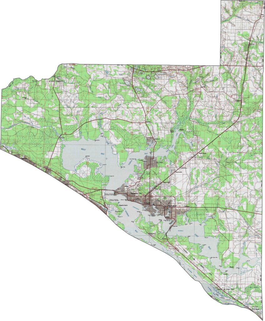
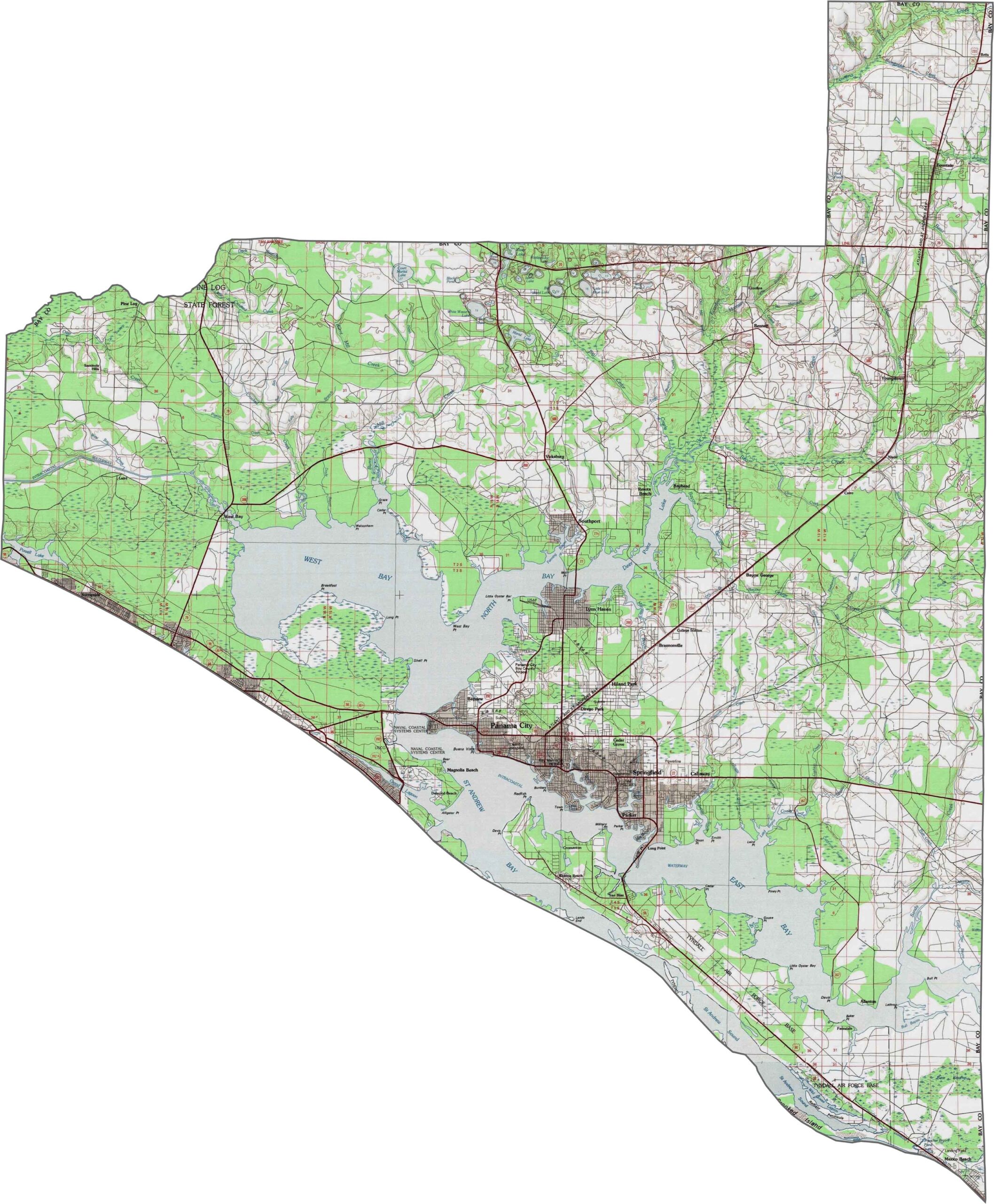
Panama City’s urban development appears prominently on our Bay County topographic map. The city sits between St. Andrews Bay and inland pine forests. Zoom in to explore Tyndall Air Force Base and the unique coastal dune lakes scattered throughout the county.
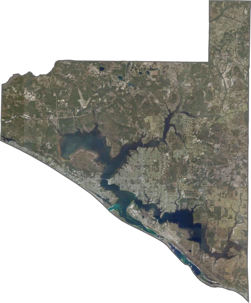
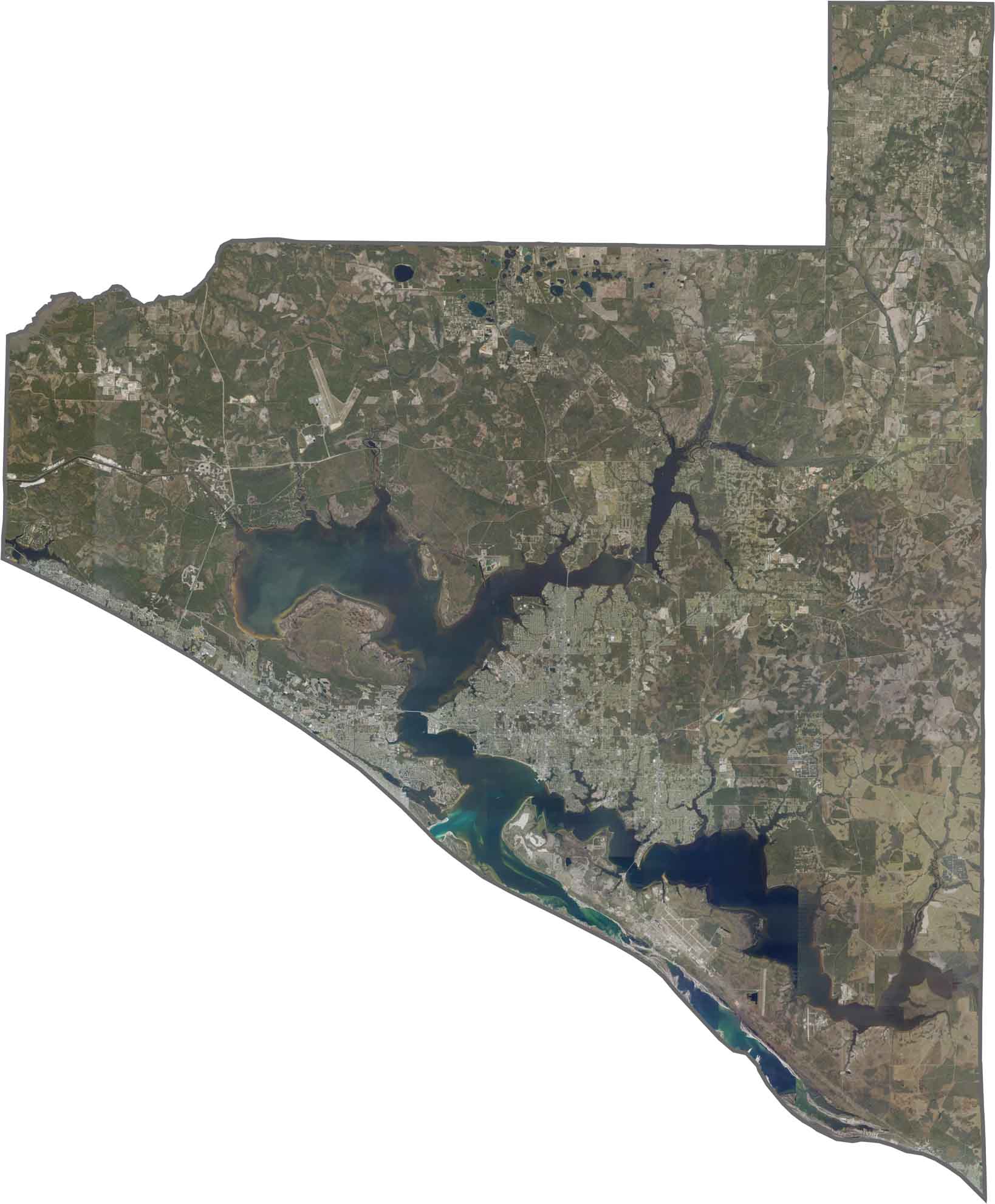
Our satellite map of Bay County, Florida shows how St. Andrew Bay divides the county with its expansive waters. Panama City stretches along the bay’s northern shore, while East Bay and West Bay branch into the surrounding land.
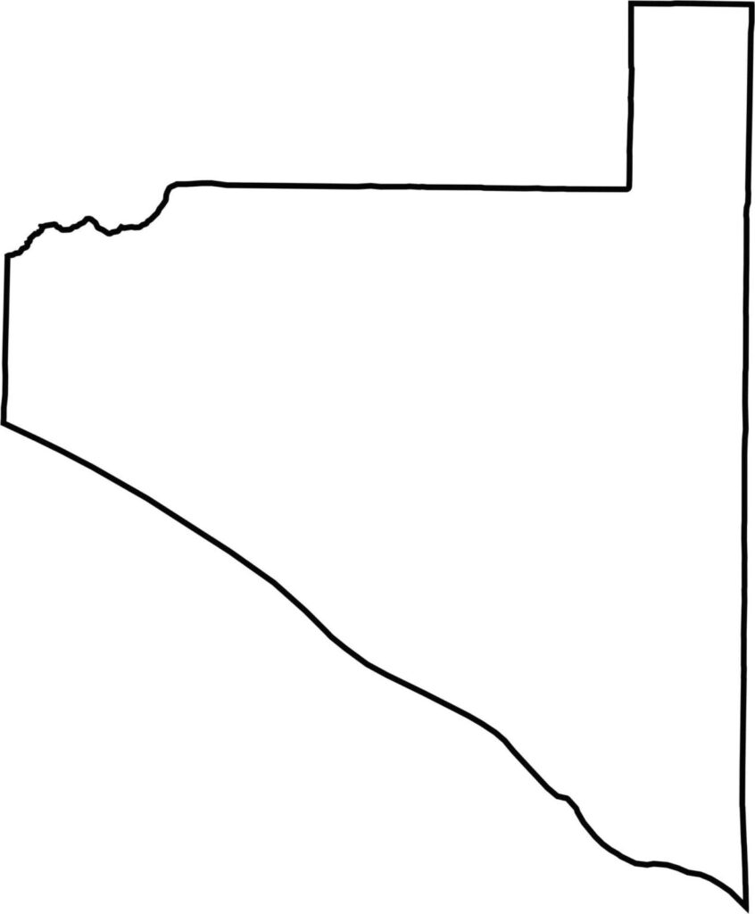
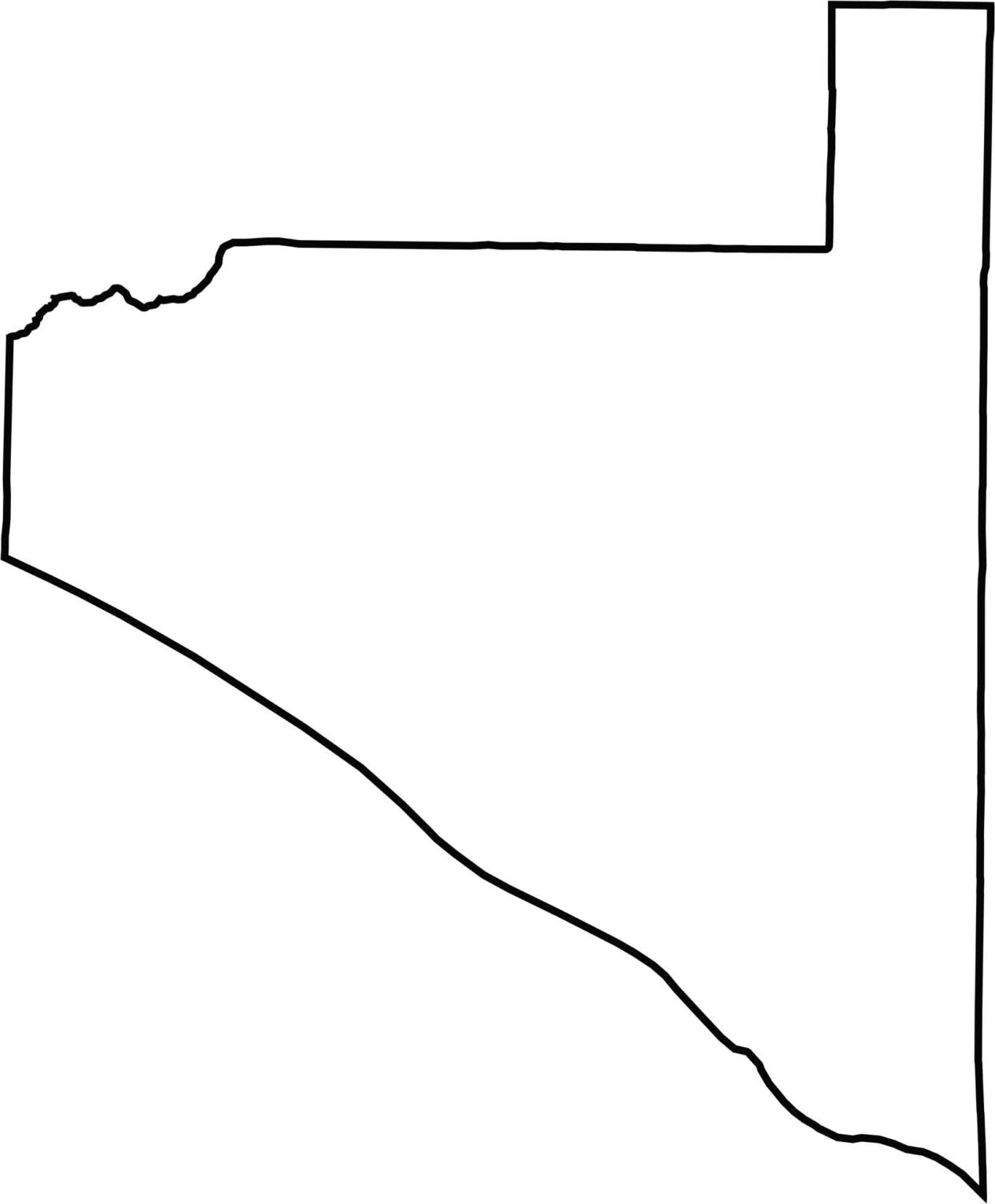
Our outline map of Bay County shows its compact shape, with St. Andrew Bay creating a significant indentation. The southern coastline follows the curve of the Gulf of Mexico, while the eastern border forms a straight line with Calhoun County.







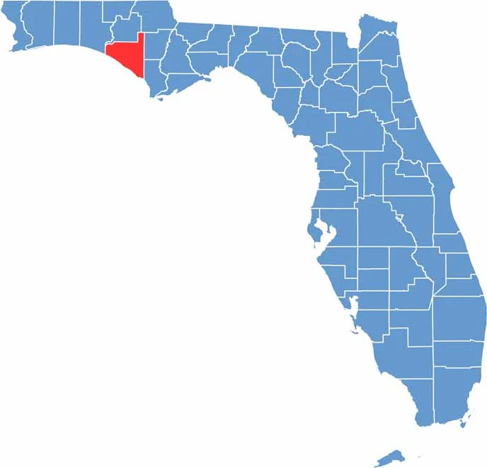
Looking for a county map of Florida? Our Florida County Map breaks down all 67 counties across the Sunshine State. Explore Florida through detailed topographic, satellite, and outline maps to better understand its geography, landscapes, and county boundaries.