Baker County Map, Florida

Baker County Map, Florida

Baker County is a quiet corner of northeast Florida, located just west of Jacksonville but offering a completely different atmosphere. Small towns and rural landscapes define much of the area.

The heart of the county is Macclenny, the largest town and county seat. Residents enjoy a slower pace of life, with plenty of opportunities for outdoor recreation. The nearby Osceola National Forest offers popular activities such as hunting, fishing, and camping.

The St. Marys River forms part of Baker County’s northern border with Georgia. Local history runs deep, with strong roots in logging and agriculture. Community events throughout the year help bring residents together and maintain the county’s close-knit character.
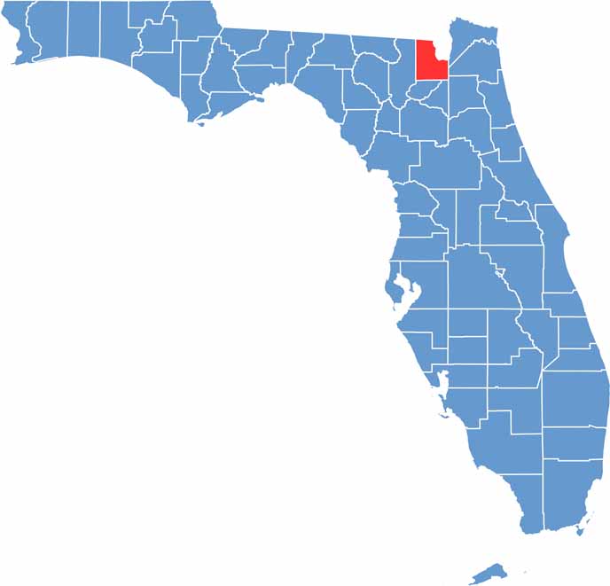
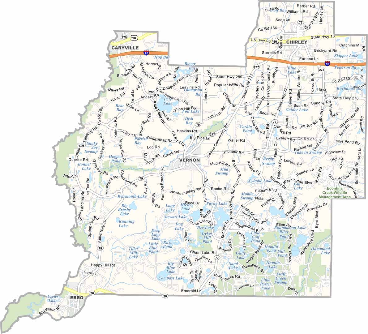
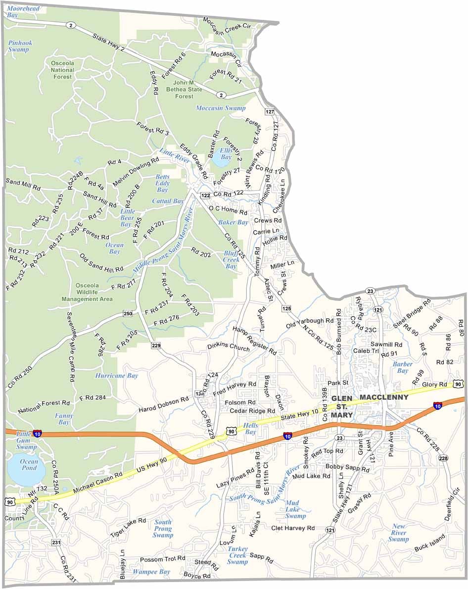
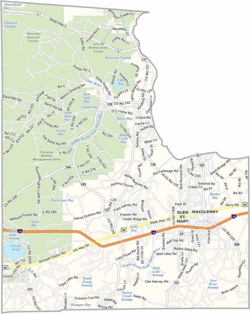
Location map of Baker County, Florida
CategoryDetails
County NameBaker County
County SeatMacclenny
Cities, Towns, and CommunitiesMacclenny, Glen St. Mary, Olustee, Sanderson
Interstates and HighwaysI-10, U.S. 90, SR 121, SR 228
EtymologyNamed after James McNair Baker, a judge and Confederate Senator
FIPS Code12-003
Total Area (Land and Water)589 square miles (Land: 585 sq mi, Water: 4 sq mi)
Time ZoneEastern Time Zone (ET)
StateFlorida
Coordinates30.3935° N, 82.3018° W
Major LandmarksOlustee Battlefield Historic State Park, St. Mary’s River, Heritage Park Village
Adjacent Counties (and Direction)Charlton County, Georgia (North), Ware County, Georgia (North), Nassau County (Northeast), Duval County (East), Clay County (Southeast), Union County (South), Bradford County (South), Columbia County (West), Clinch County, Georgia (Northwest)
PopulationApproximately 31,000

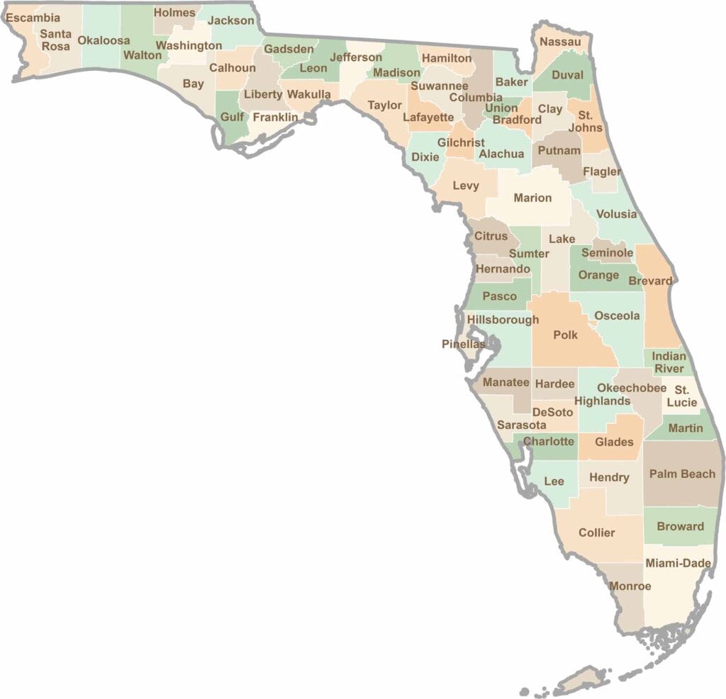
Florida County Map

Florida map showing boundaries and locations.

Looking to find a county map of Florida? Our Florida county map breaks down all 67 counties. Explore the Sunshine State with detailed topographic, satellite, and outline maps.

Scroll to Top