
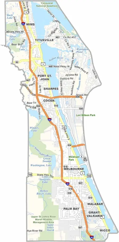
Brevard County stretches along Florida’s Space Coast. It’s home to Kennedy Space Center and famous rocket launches, with a strong aerospace industry presence that makes the county unique.
While Cocoa Beach draws surfers, Merritt Island is home to a massive wildlife refuge. The Indian River Lagoon runs along much of the county, teeming with wildlife. Locals enjoy fishing, boating, and other outdoor activities here.
Melbourne offers a mix of tech jobs and laid-back Florida vibes. Port Canaveral is a major cruise ship hub, while Brevard blends space-age technology with Florida’s natural beauty. It’s a place where you can watch rockets launch from the beach.
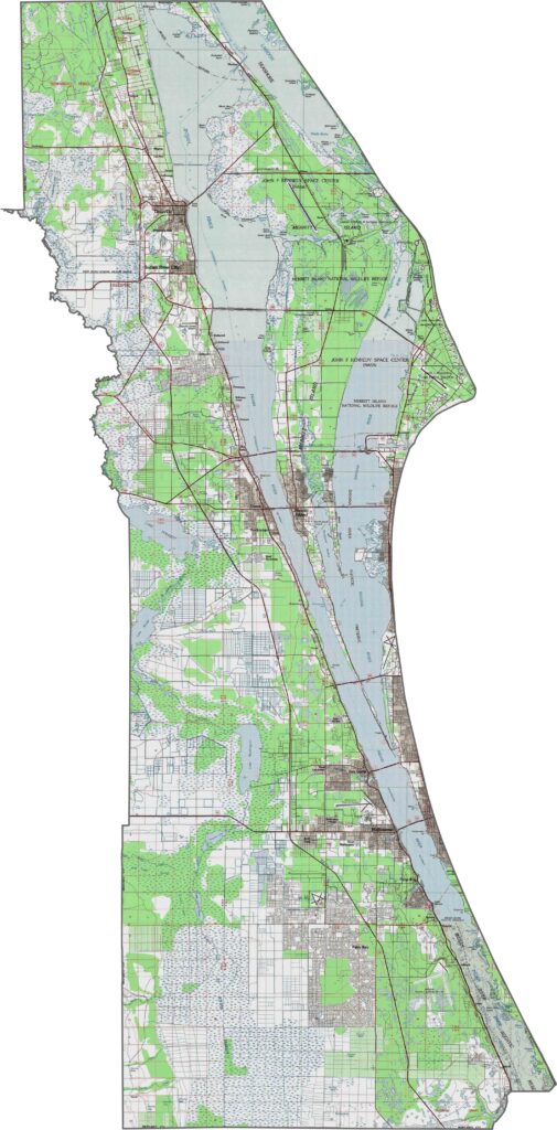
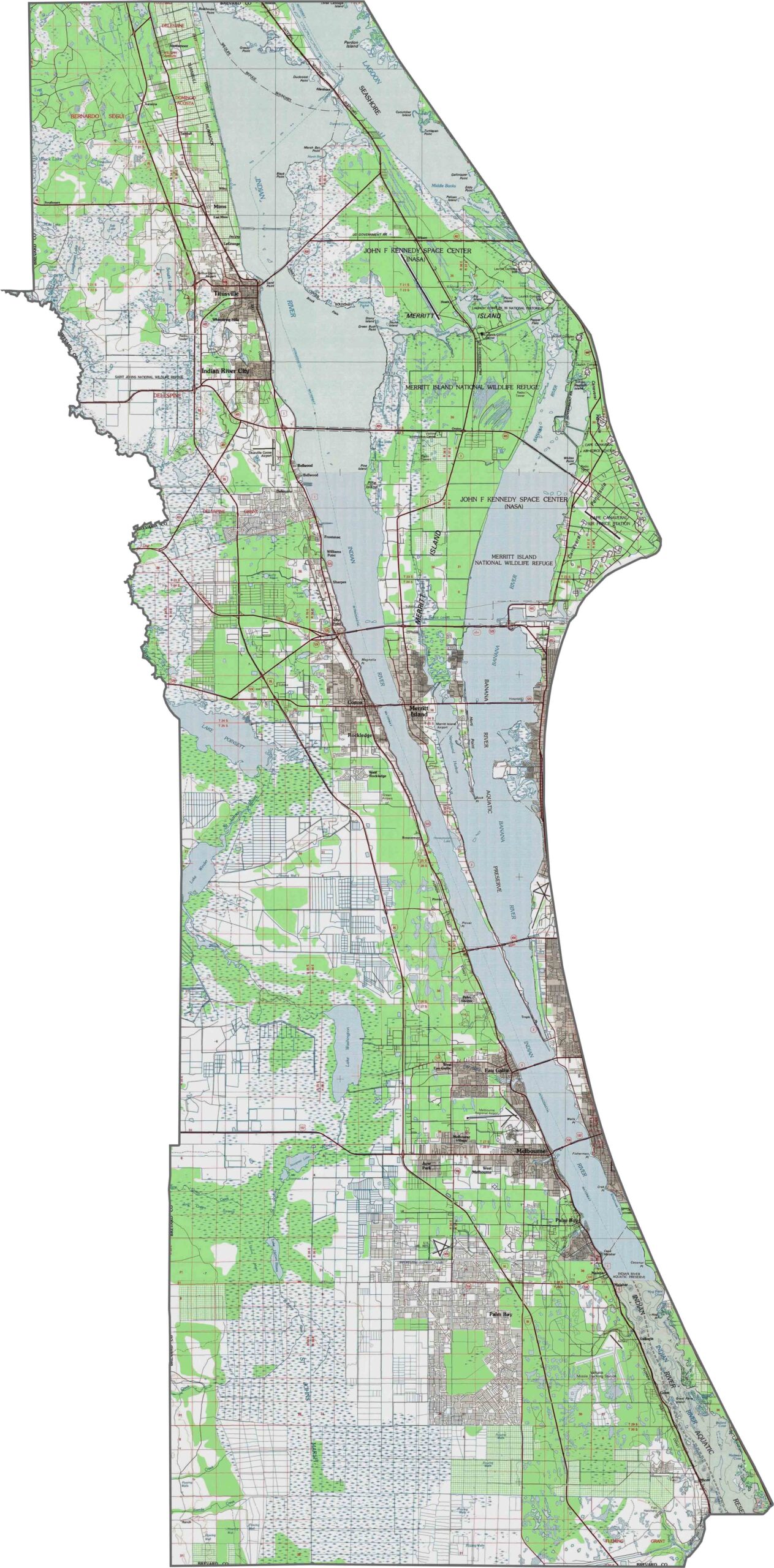
Our topographic map of Brevard County highlights the barrier island system along Florida’s eastern coast, separated from the mainland by the Indian River Lagoon. The central mainland features a subtle north-south ridge, while the western areas gradually transition into flatter wetland areas.
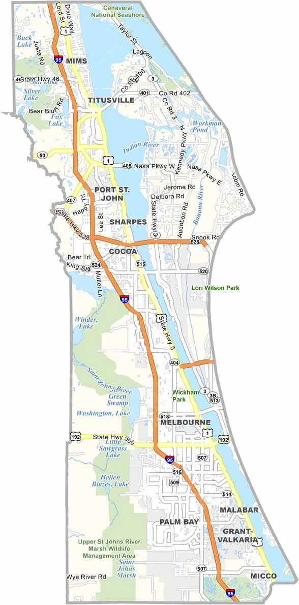
Brevard County stretches along Florida’s east coast in a long, narrow shape bordered by the Atlantic Ocean and the Indian River Lagoon. Barrier islands, including Merritt Island, separate the mainland from the ocean. Our zoom tool makes it easy to explore the county’s combination of developed areas and natural landscapes.
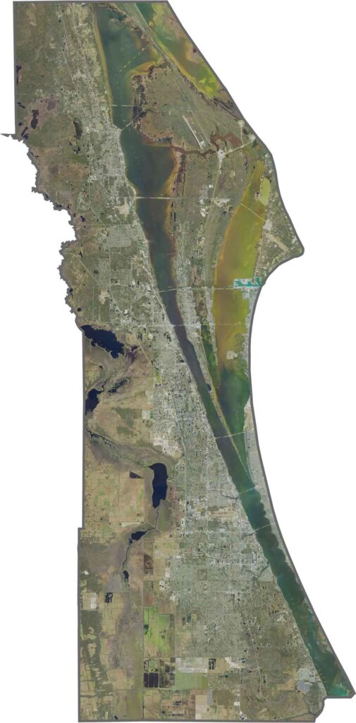
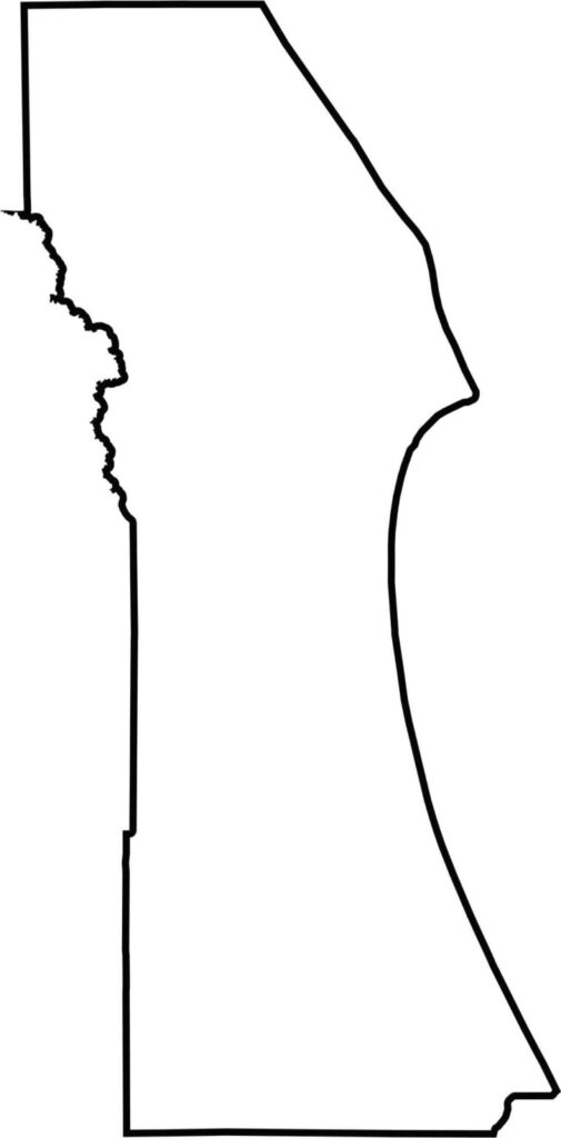
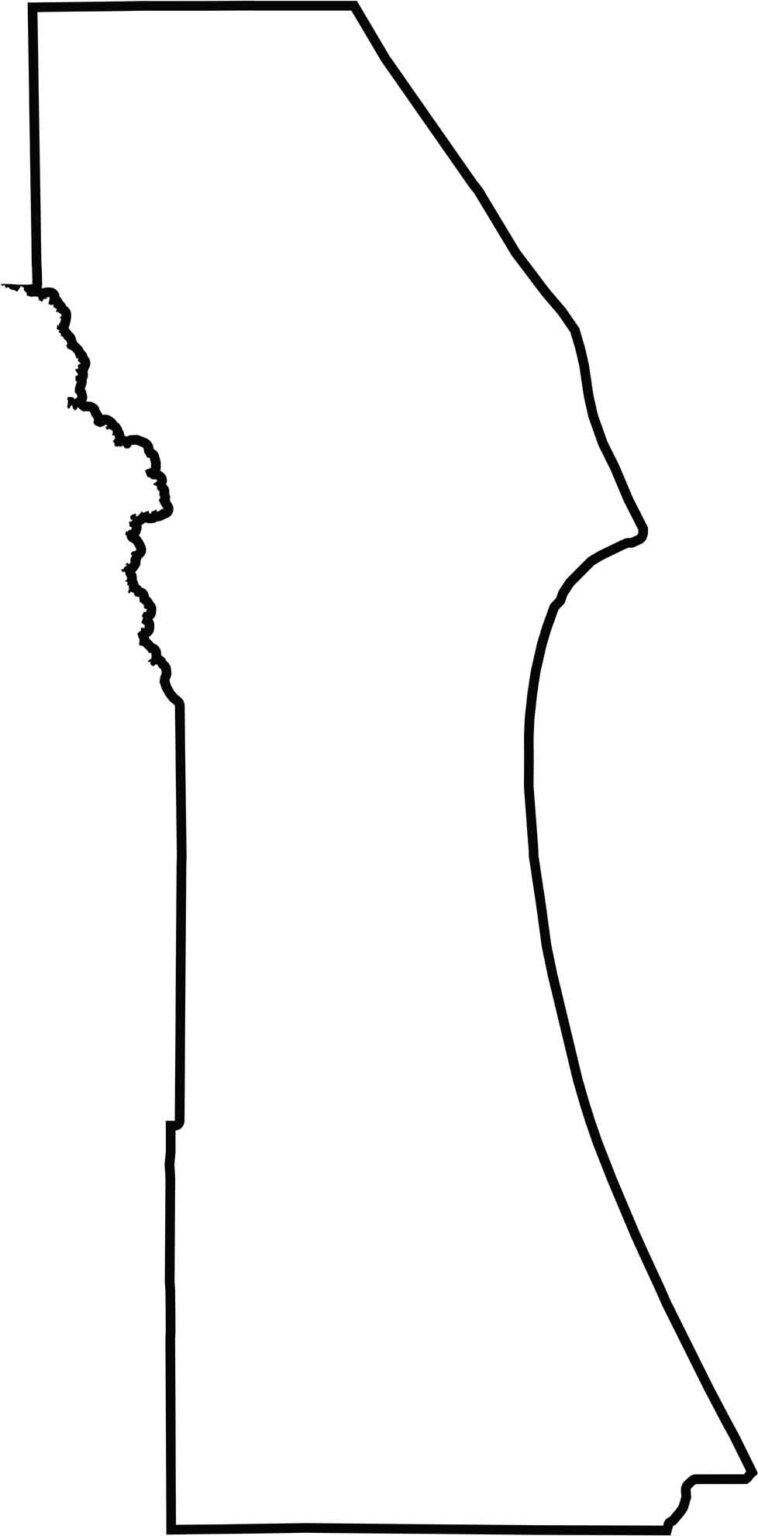
Brevard County has a distinctive long, narrow shape extending along Florida’s east coast. Its eastern boundary follows the Atlantic shoreline, while the western boundary reaches toward the St. Johns River. The blank map below clearly shows the county’s linear form, creating a well-defined coastal region.






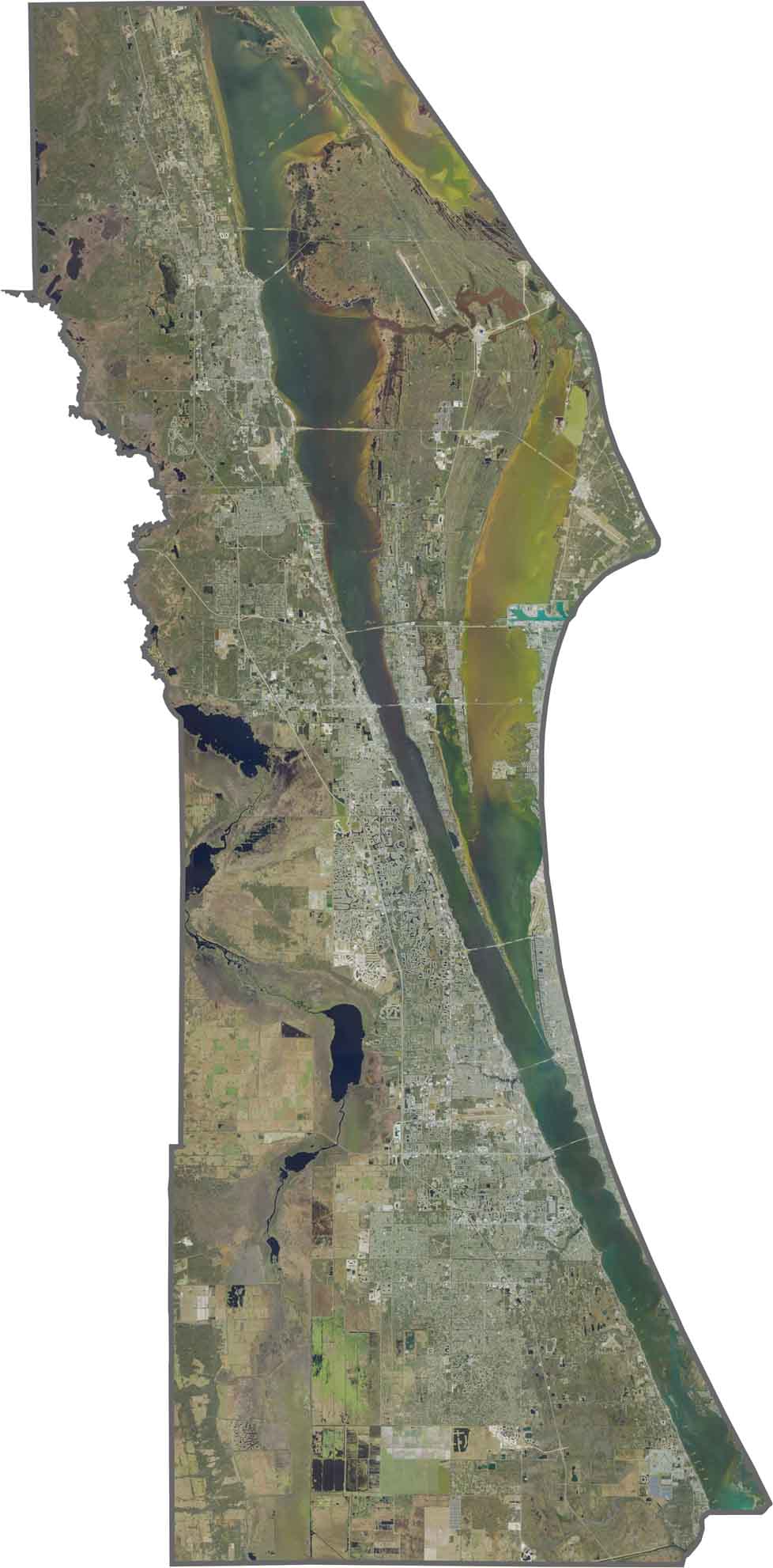

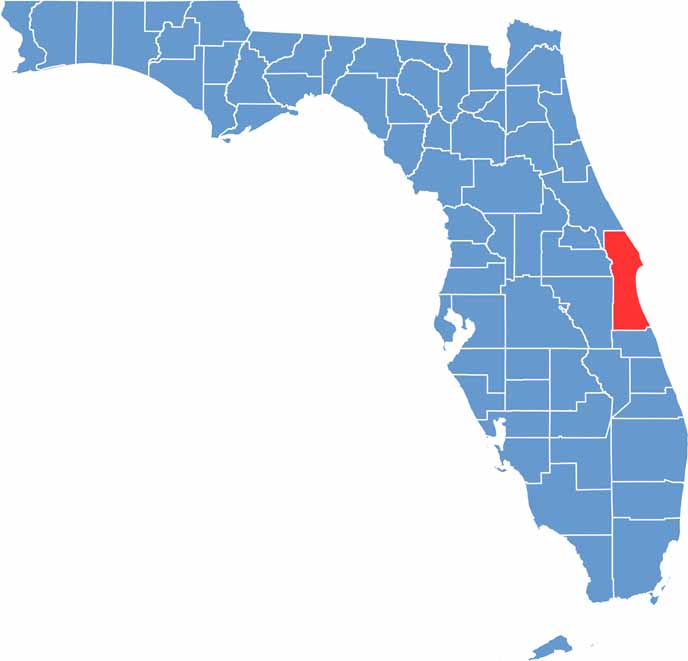
Looking for a county map of Florida? Our Florida County Map breaks down all 67 counties across the Sunshine State. Explore Florida through detailed topographic, satellite, and outline maps to better understand its geography, landscapes, and county boundaries.