
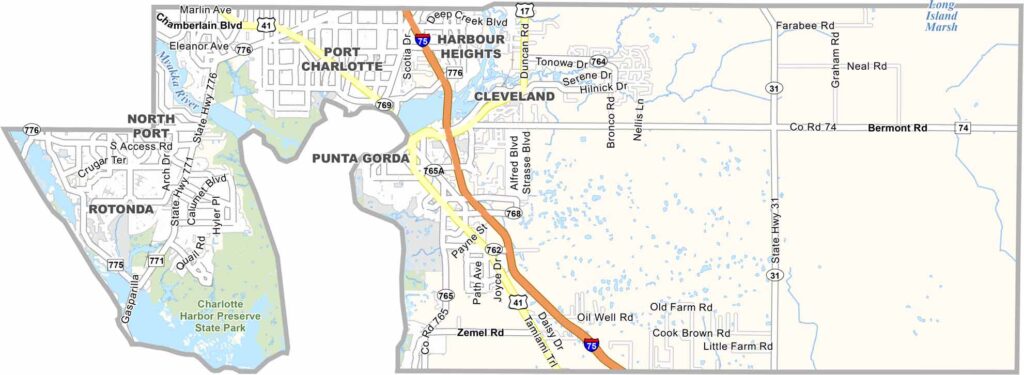
Charlotte County is located along Florida’s Gulf Coast, just south of Sarasota. Punta Gorda serves as the county seat and main city, offering a relaxed coastal atmosphere. One of the county’s biggest attractions is its less crowded feel compared with many other popular Florida beach towns.
Many retirees are drawn to Charlotte County for its laid-back lifestyle, while the area’s extensive waterways and fishing spots attract outdoor enthusiasts. Charlotte Harbor is especially popular for boating, fishing, and beautiful sunsets. The county also features several small beaches, parks, and outdoor recreation areas.
Baseball fans visit the area for spring training games, while Punta Gorda’s growing arts scene adds to the county’s cultural appeal. At the same time, hurricanes have played a significant role in Charlotte County’s recent history. Today, the county combines the charm of an old Florida lifestyle with ongoing new development.
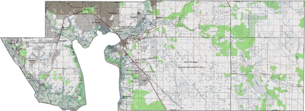
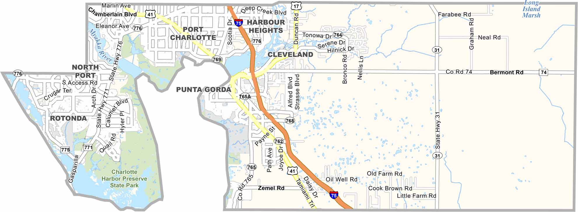
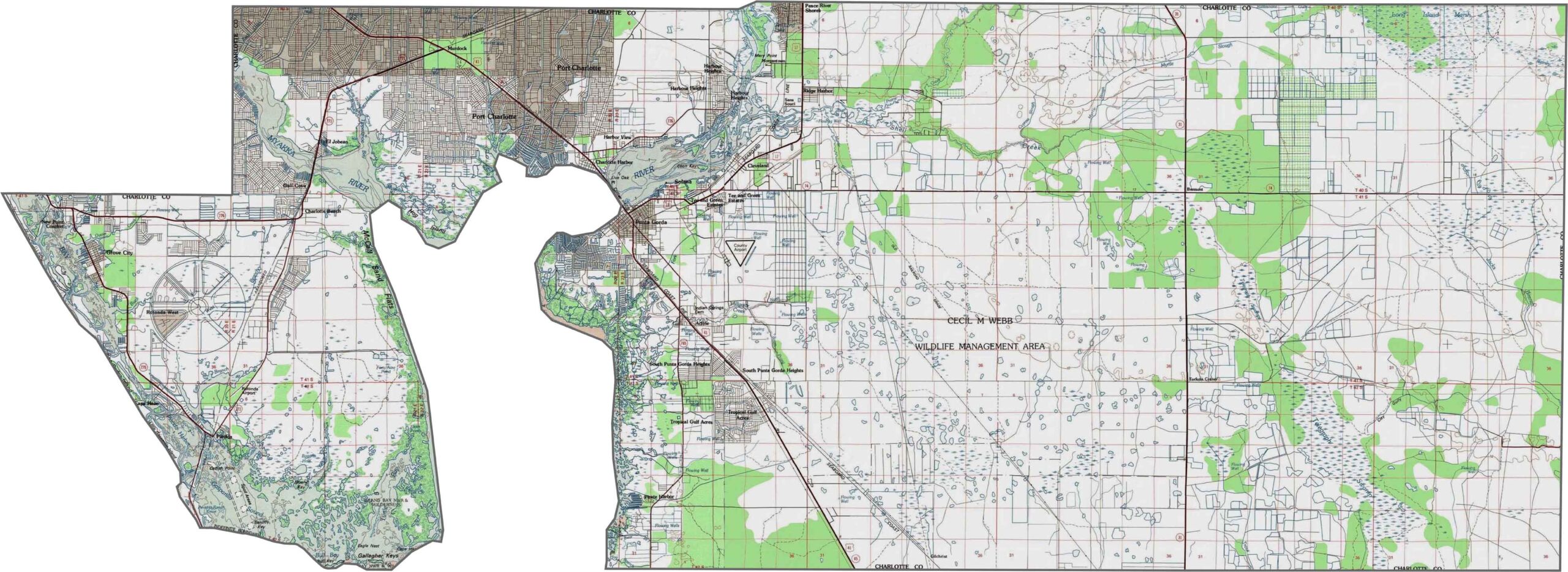
Zoom in to explore our Charlotte County topographic map, where you can see the county’s intricate waterways and remarkably flat terrain. Charlotte Harbor is the dominant geographic feature on the map, with Punta Gorda located along its northern edge.
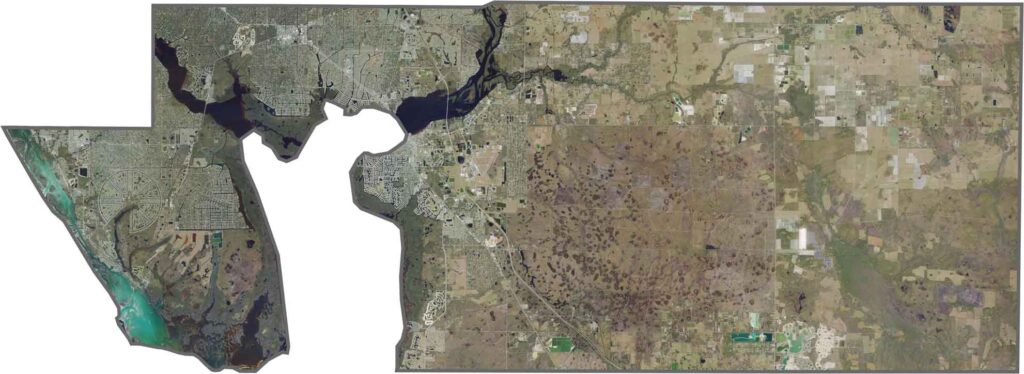
Our satellite map of Charlotte County clearly shows Charlotte Harbor as a large blue bay extending into the county. The Peace River and Myakka River both flow into the harbor from the north, adding to the area’s extensive waterway system.
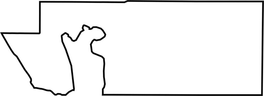
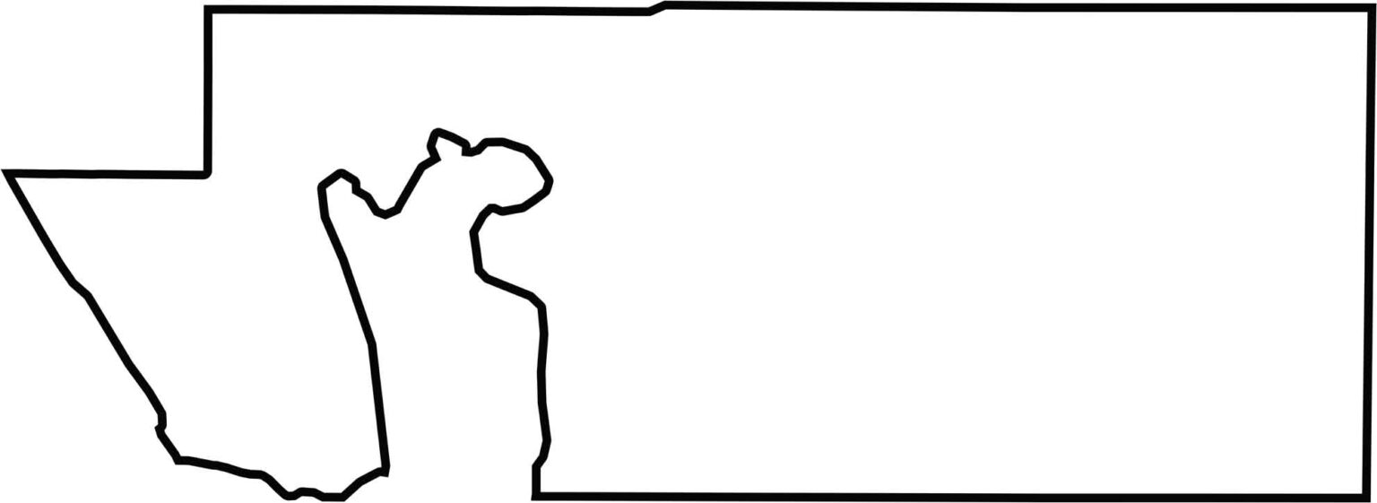
Our Charlotte County outline map highlights the region’s irregular shape, with Charlotte Harbor forming a prominent indentation along the western side. In contrast, the eastern portion of Charlotte County has a more rectangular shape, creating a noticeable difference in the county’s overall geography.







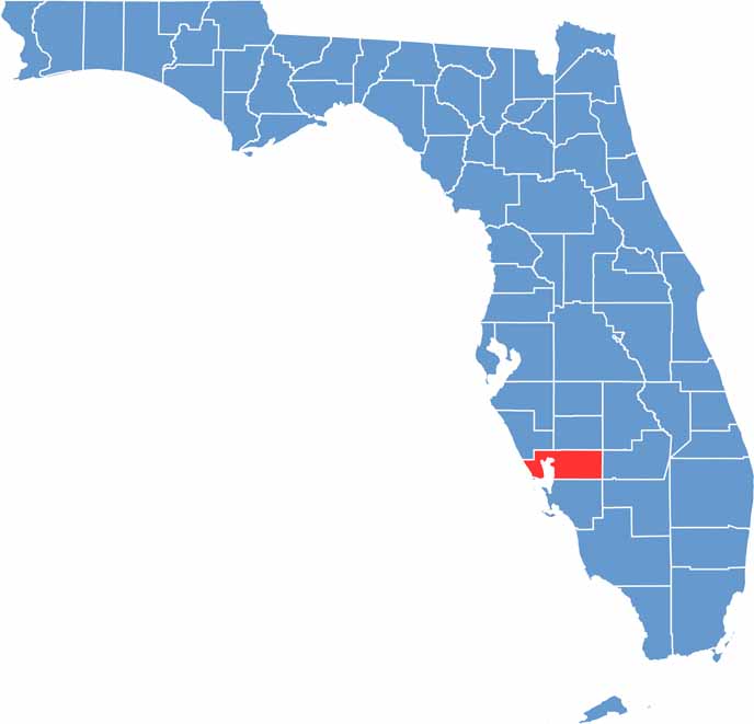
Looking for a county map of Florida? Our Florida County Map breaks down all 67 counties across the Sunshine State. Explore Florida through detailed topographic, satellite, and outline maps to better understand its geography, landscapes, and county boundaries.