
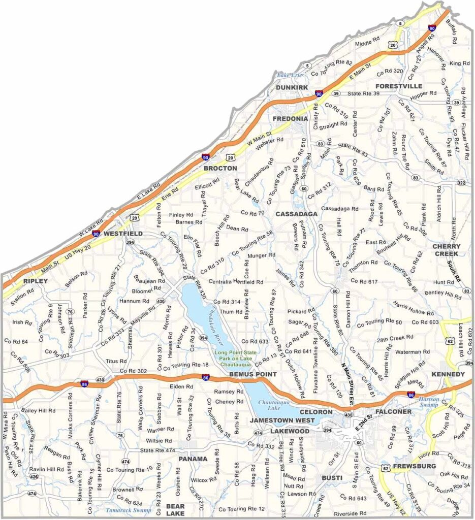
Chautauqua County sits at the westernmost edge of New York, bordering Pennsylvania and stretching along the shore of Lake Erie. The county takes its name from Chautauqua Lake, located near its center, where locals enjoy boating and fishing on weekends.
The landscape is a mix of vineyards, dairy farms, and forests. It’s also home to the famous Chautauqua Institution, a summer retreat that has attracted intellectuals and artists for more than a century. Jamestown, the county’s largest city, proudly claims comedy legend Lucille Ball as a native.
The area has a strong history of furniture manufacturing. Fishing remains popular for those who know the right spots. Fredonia is another notable community and home to a respected state university campus. It’s a place where small-town charm blends with cultural sophistication.
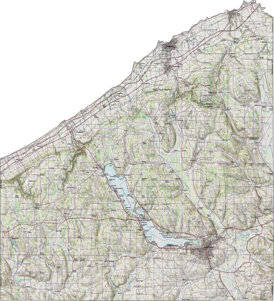
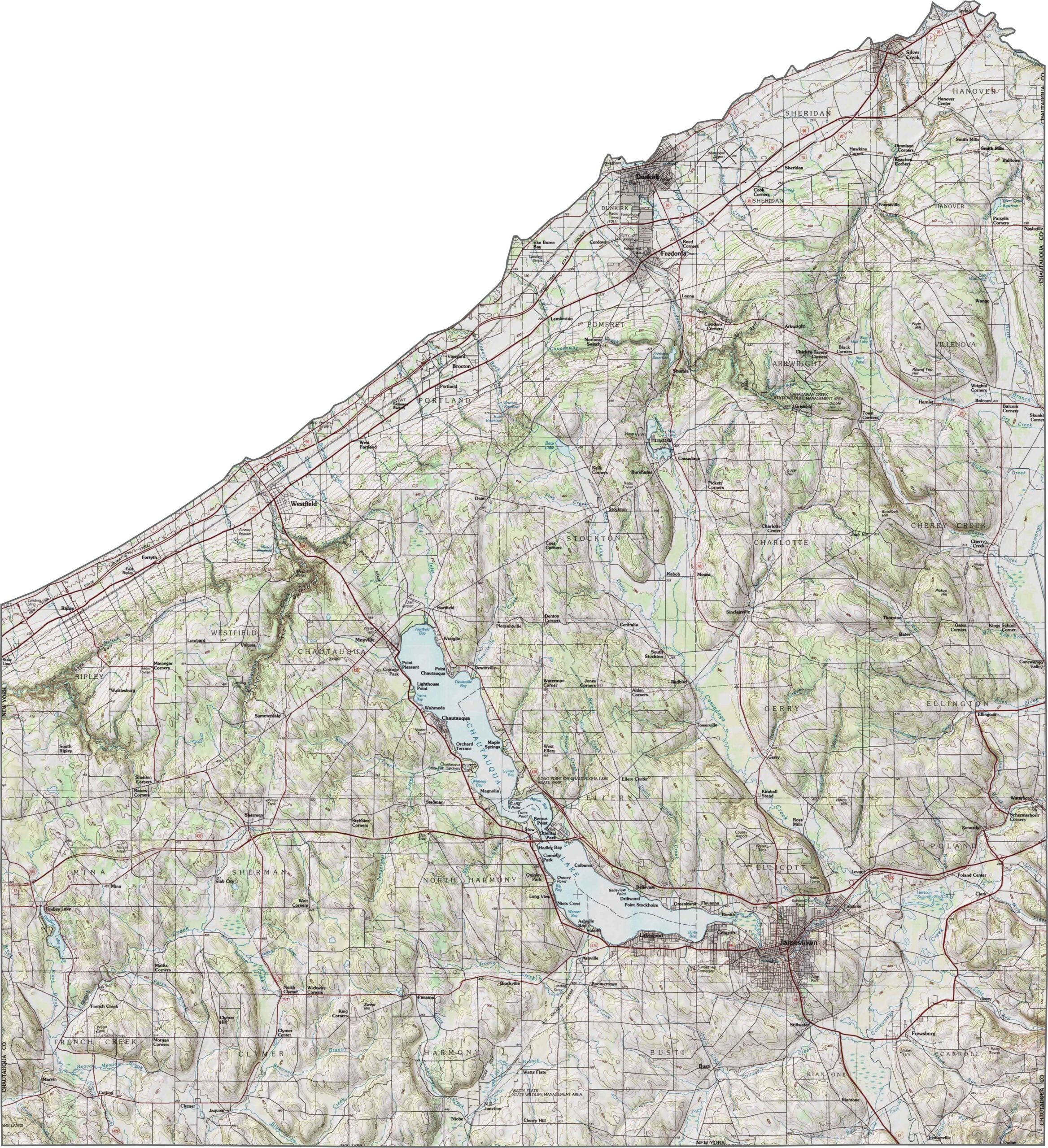
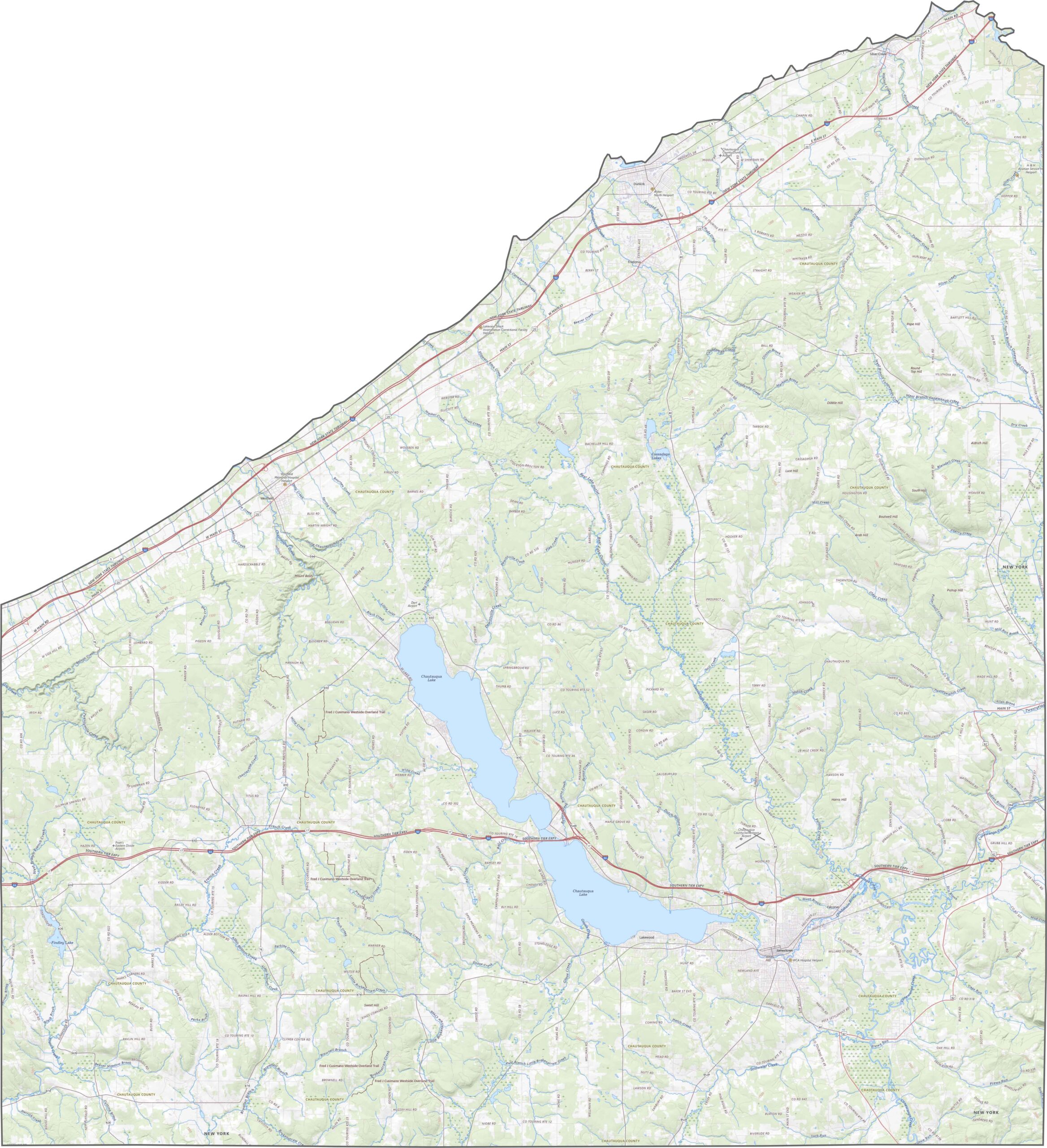
Rolling hills and lakes define the landscape. Elevation gradually rises inland from Lake Erie, and while the terrain isn’t mountainous, it’s rarely completely flat. Chautauqua Lake sits near the center of the county, stretching in a long, narrow shape. Much of the surrounding land is covered by forests or farmland.
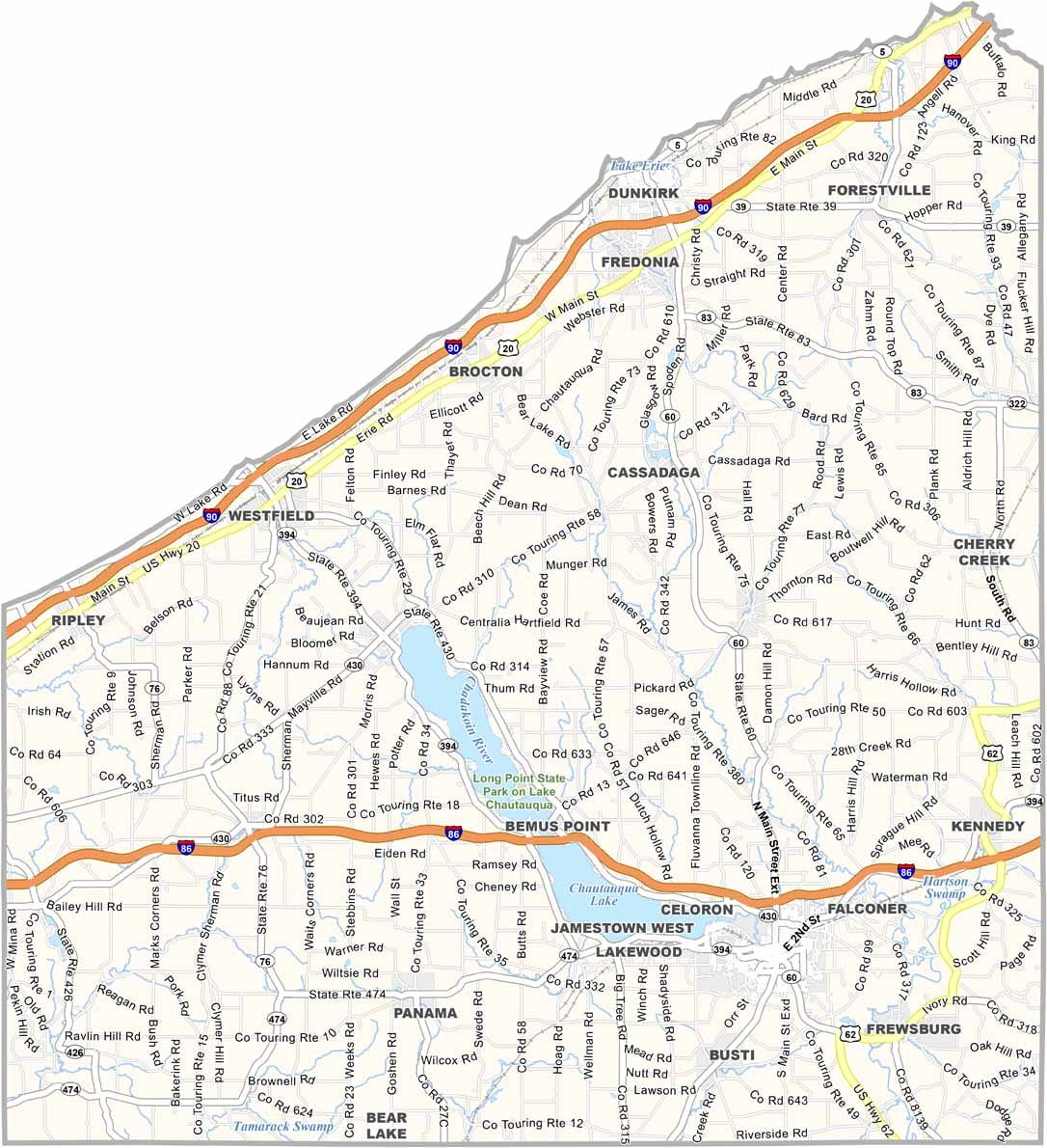
Chautauqua County has a mix of scenic routes and major highways. I-86 crosses the southern part of the county, while I-90 follows the Lake Erie shoreline. U.S. Route 20 and NY-5 also run along the lakefront, offering scenic drives. Despite the rural setting, the county has good highway access.
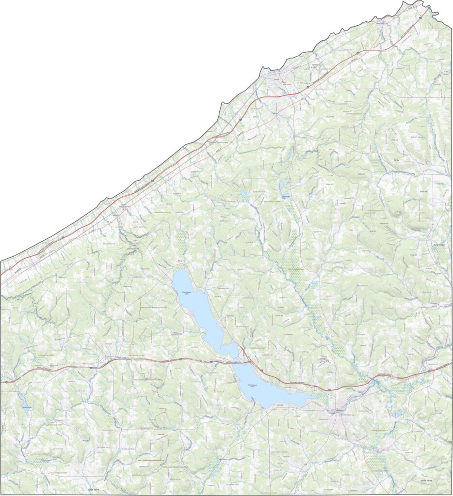
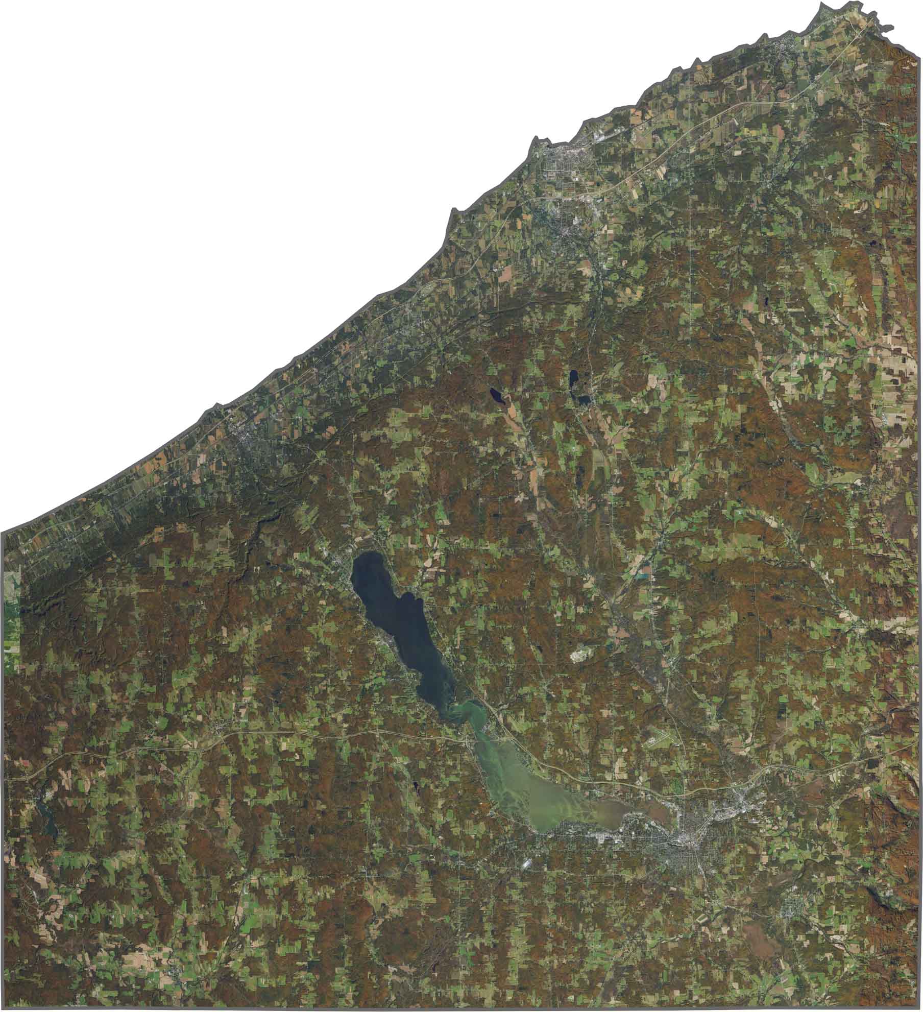
From above, Chautauqua Lake immediately stands out across the center of the county. Forested hills surround the lake, with farmland scattered throughout the landscape. Jamestown appears as the largest developed area, while smaller communities line the lake’s shoreline.
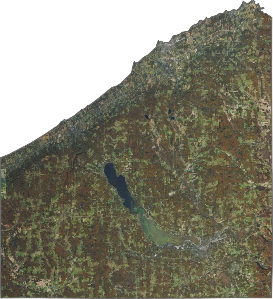
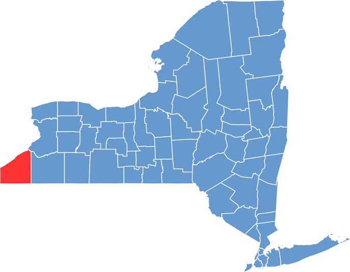
Chautauqua County sits in the far western corner of New York. Pennsylvania borders the county to the south, while Lake Erie forms the northern edge. The county has a wide, blocky outline, with a more triangular northern section and a southern portion that resembles a rectangle.









New York has 62 counties, and each one has its own personality. From the nonstop energy of Manhattan to the quiet wilderness of the Adirondacks, there’s plenty of variety to explore. And yes, we can’t forget those famous Buffalo wings. Explore our New York county maps.