
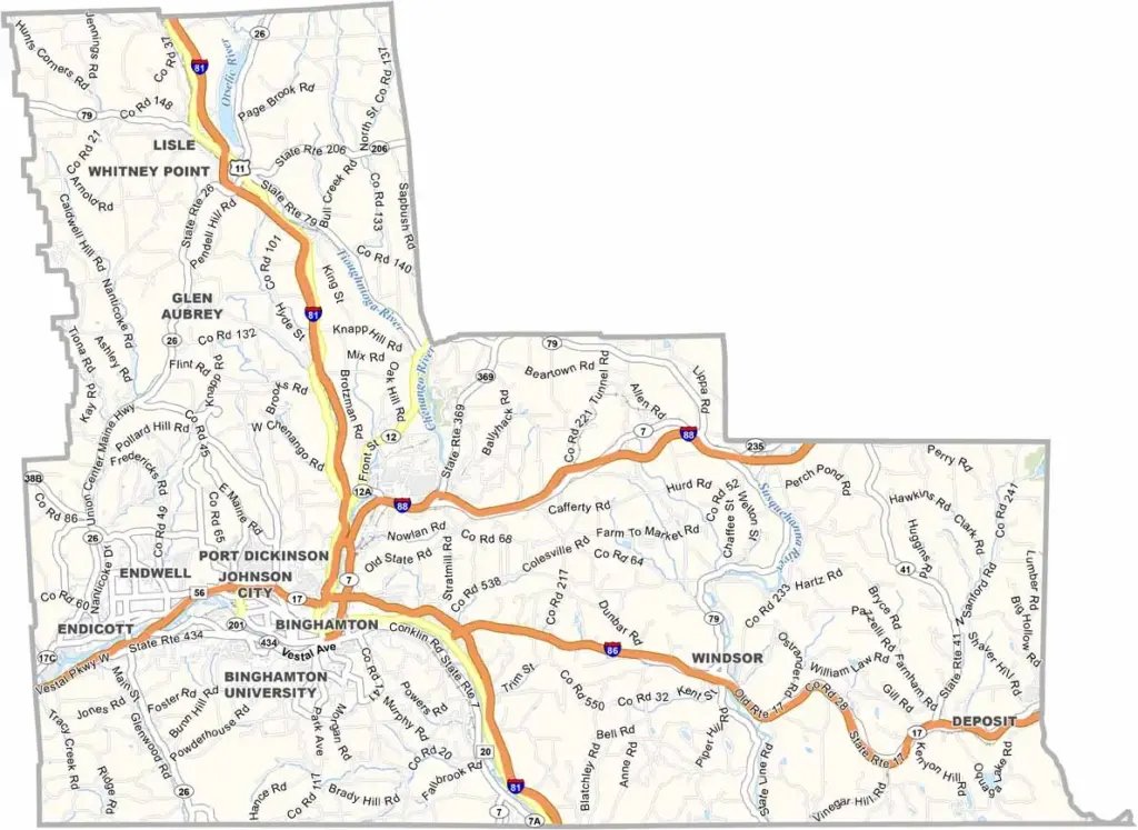
Broome County is at the heart of the Triple Cities in New York’s Southern Tier. Binghamton, Johnson City, and Endicott make up this well-known trio. The area has a rich industrial past while continuing to look toward the future.
The Susquehanna River winds through the county, shaping both its landscape and history. Binghamton University brings youthful energy to the area, attracting students from around the world. Spiedies are the local specialty, and these marinated meat sandwiches are a must-try.
The county also has a lively arts scene, ranging from colorful murals to its philharmonic orchestra. Visitors enjoy hiking through the state forests and exploring the outdoors. Despite its challenges, Broome County continues to reinvent itself, showing there’s much more to New York than the Big Apple.
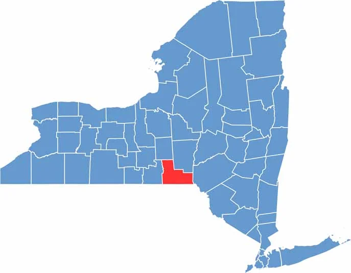
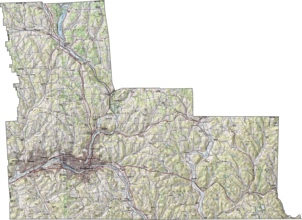
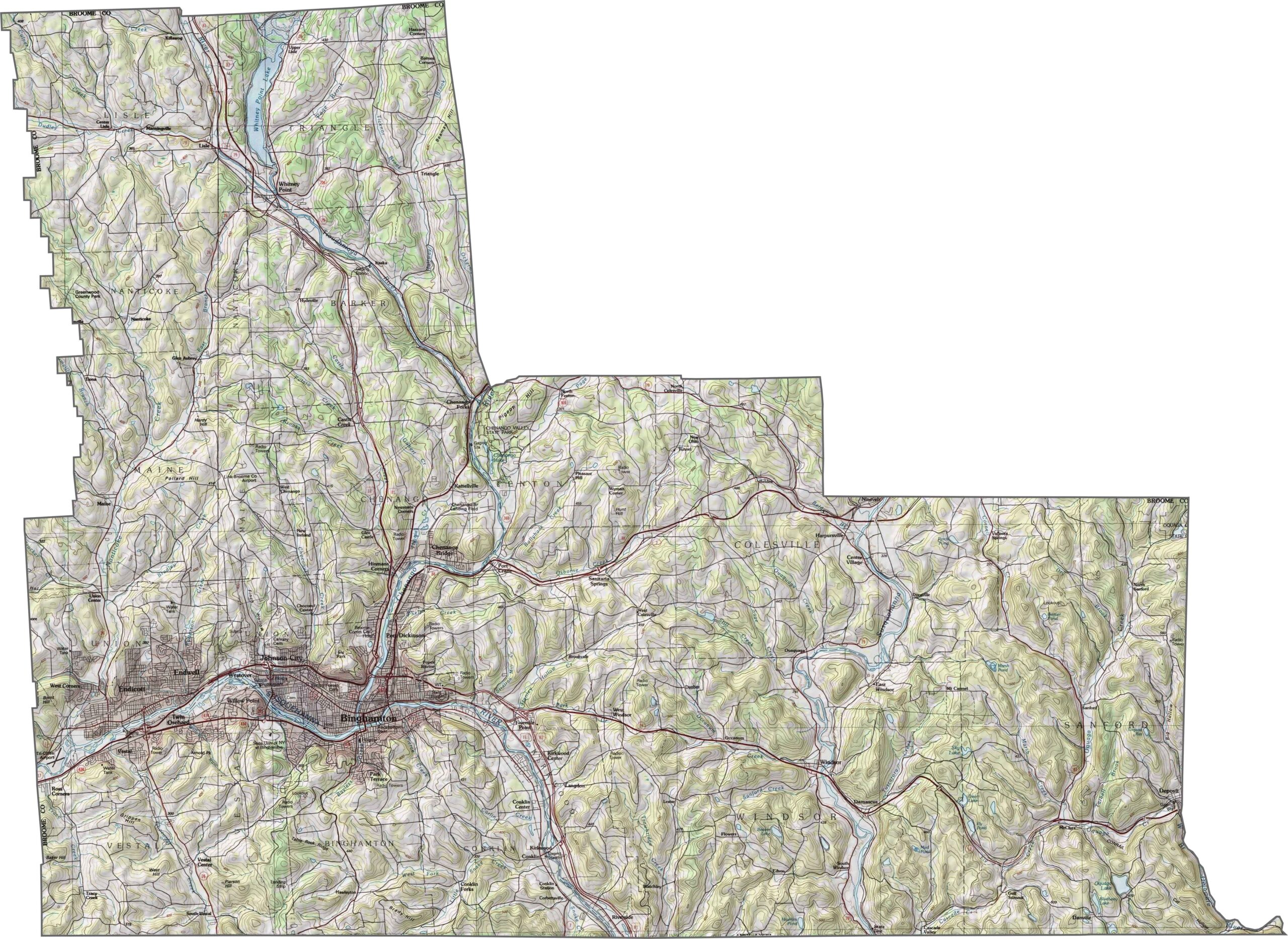
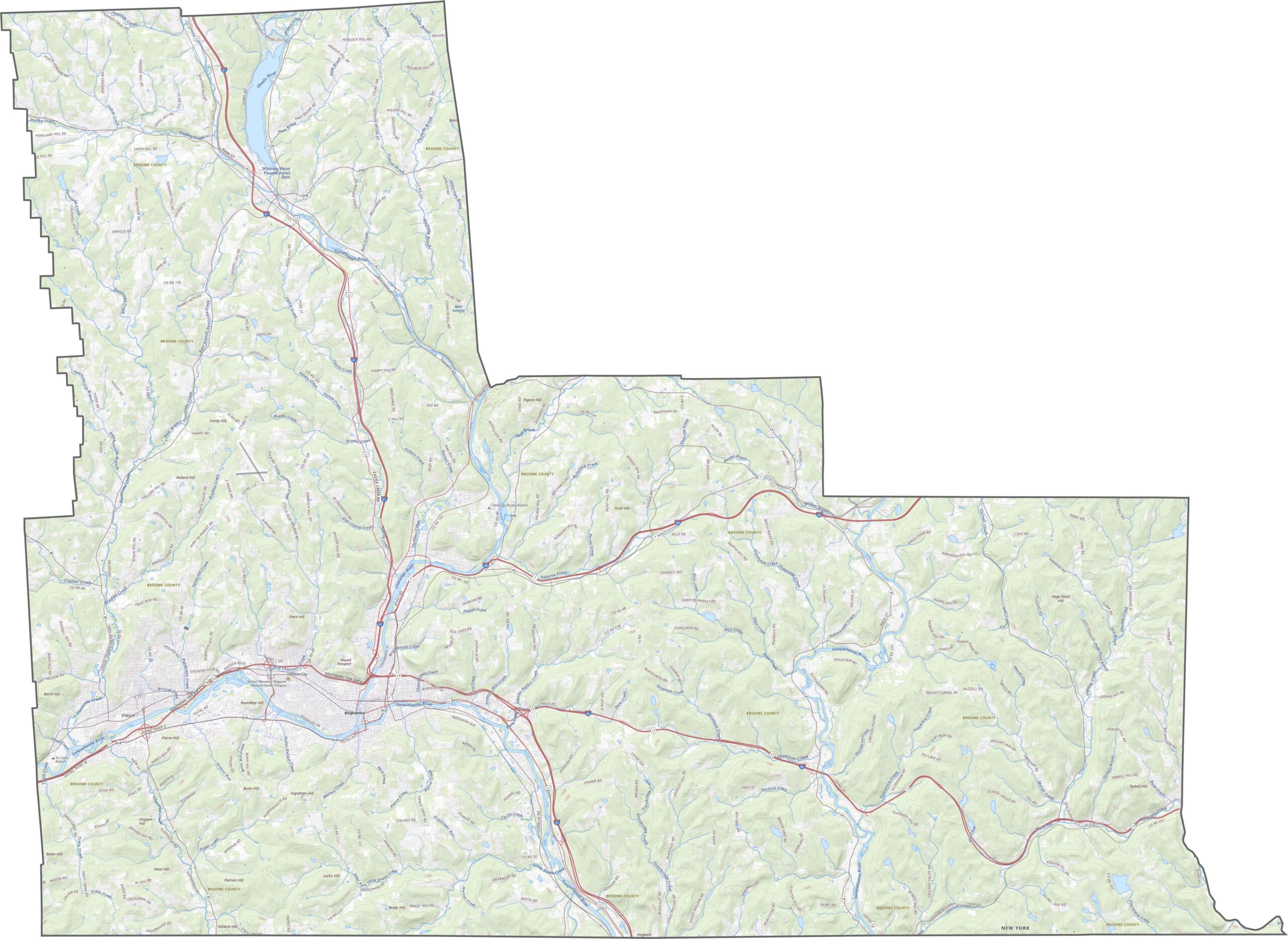
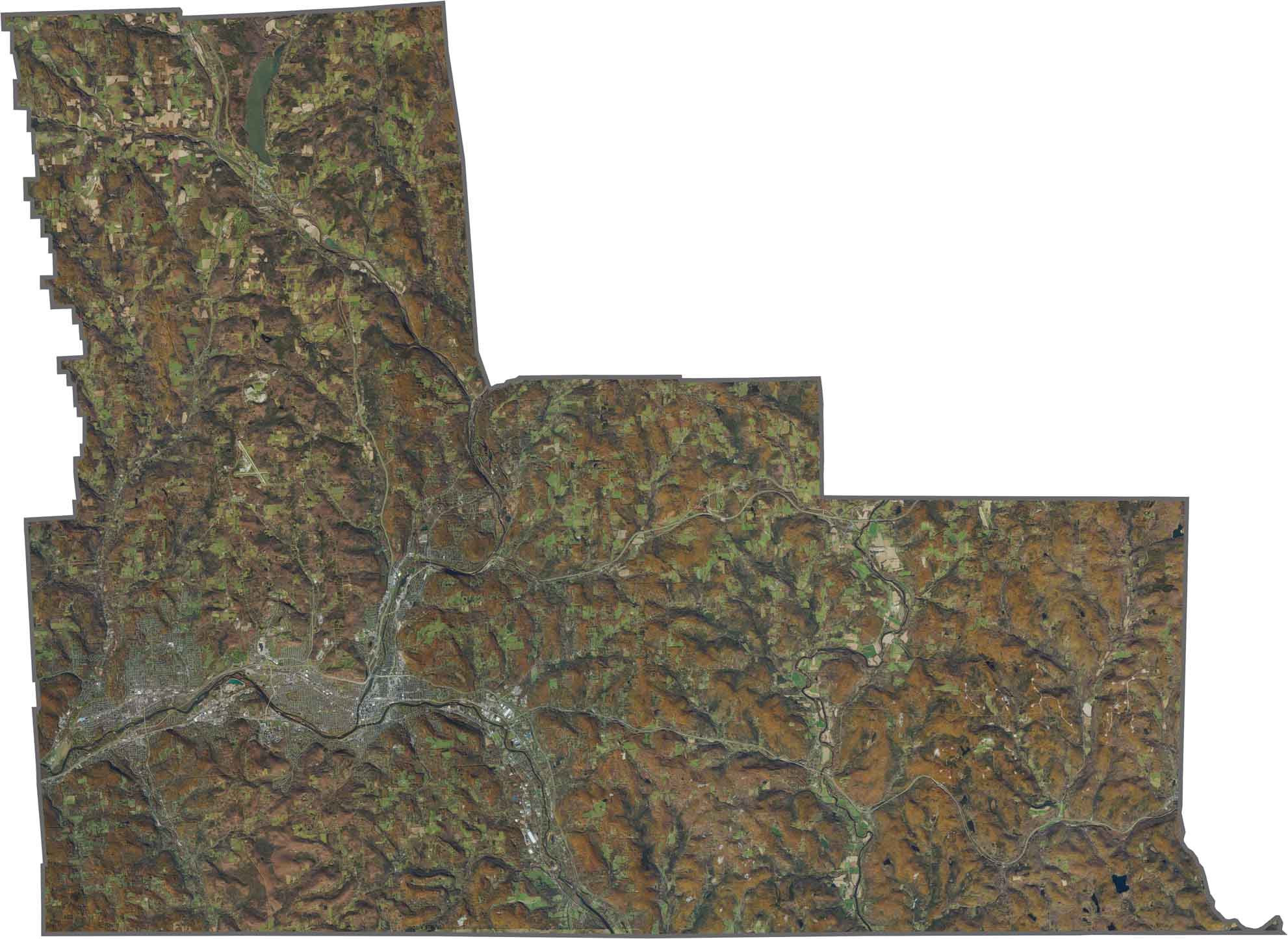
Broome County is shaped by river valleys and rolling ridges. The Susquehanna River runs through the center, with hills rising on both sides. The terrain isn’t especially steep, but some areas can feel rugged. Broad valleys are home to towns and farms, while upland forests cover much of the remaining landscape.
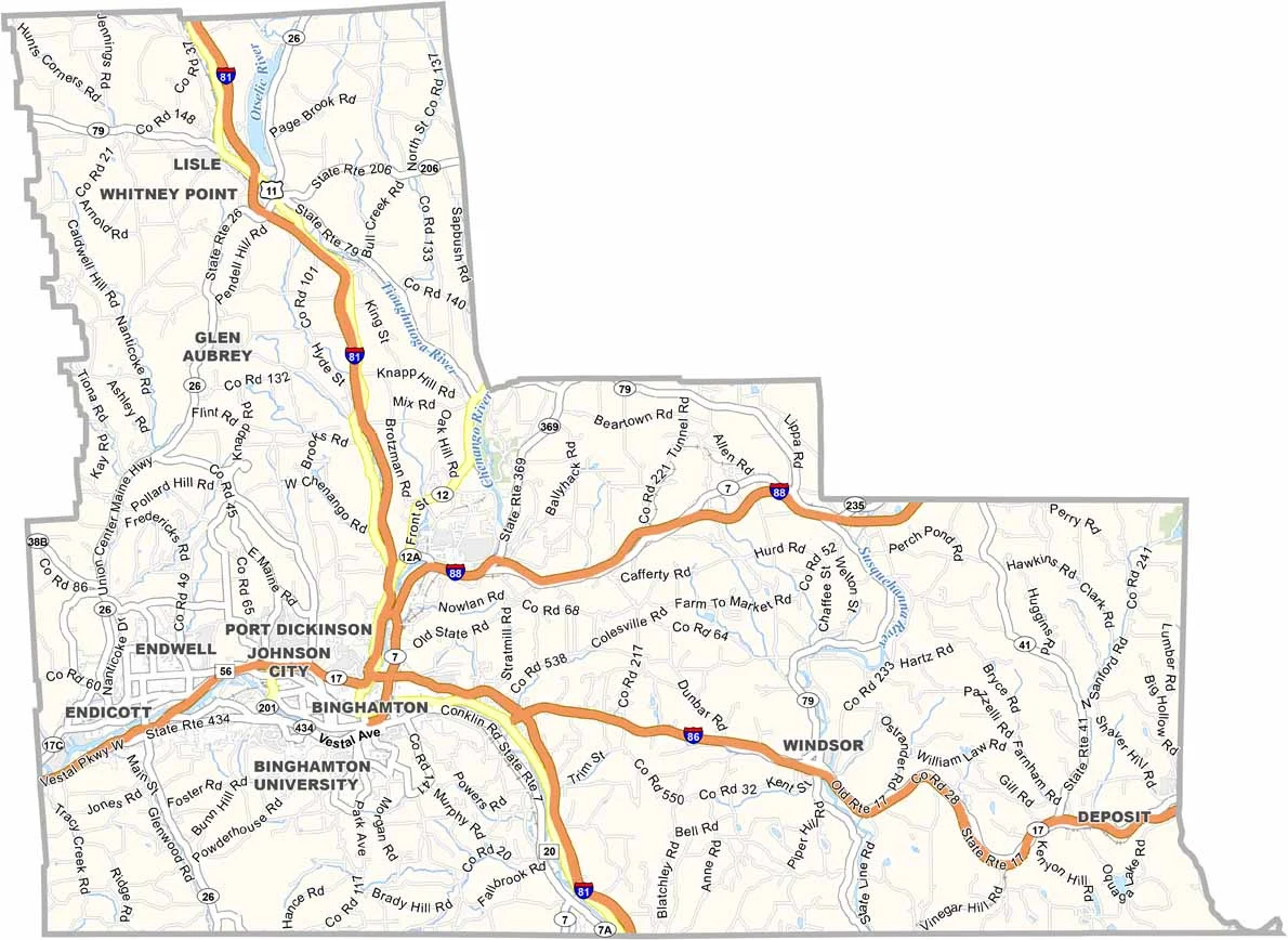
I-81 and I-88 meet in Broome County, making the area an important transportation connection. Although the county isn’t particularly large, these highways connect Binghamton with the rest of New York. Roads reach across the hilly landscape, and our zoom tool makes it easier to explore the network.
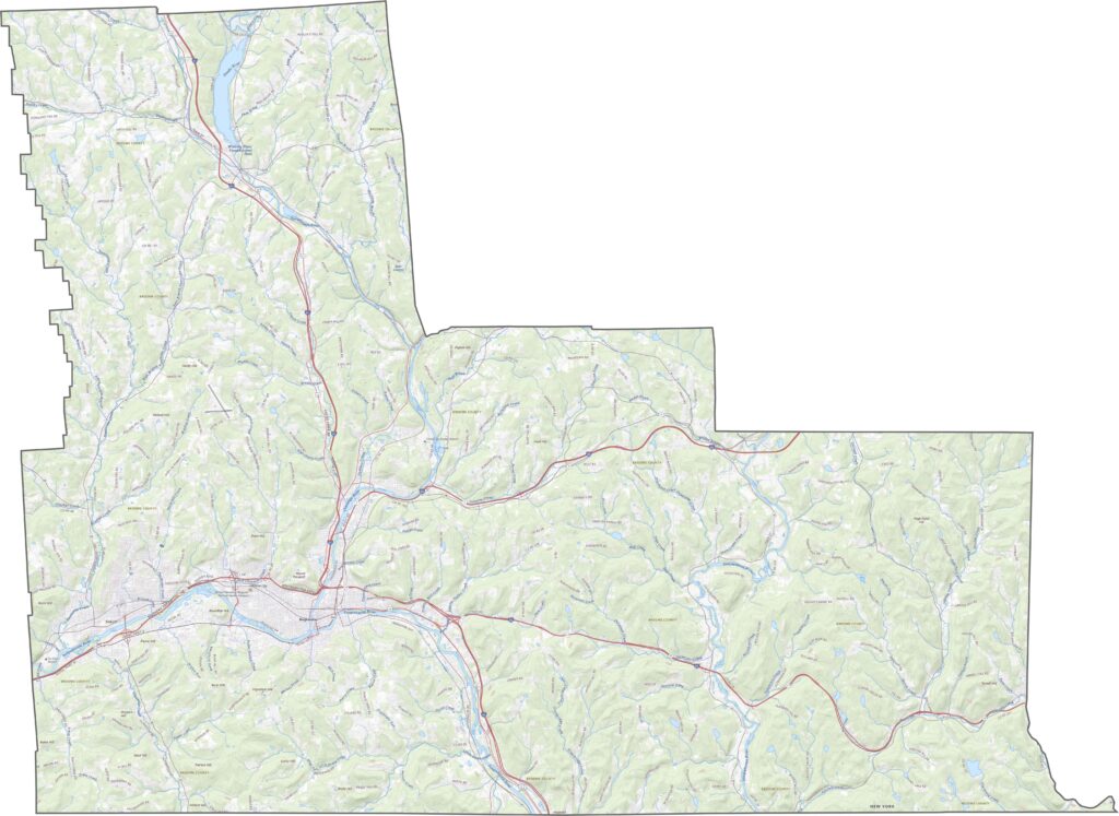
The Susquehanna River creates a wide, green corridor through the county, with Binghamton’s street layout clearly visible near the center. Surrounding areas feature a mix of open fields and wooded hills. Farther toward the edges, the hills become more dominant, showing how much natural landscape remains around the developed areas.
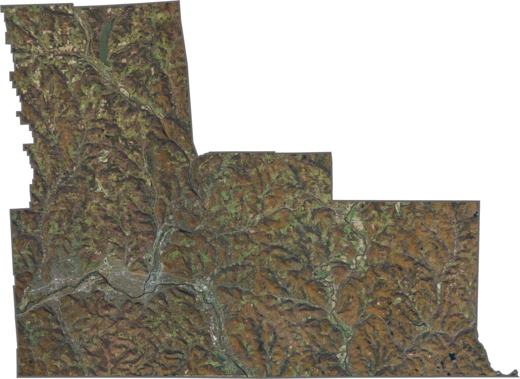
Broome County has an unusual shape that resembles a step ladder with three rungs. Pennsylvania forms the southern border, while most of the remaining boundaries follow survey lines rather than rivers.









New York has 62 counties, and each one has its own personality. From the nonstop energy of Manhattan to the quiet wilderness of the Adirondacks, there’s plenty of variety to explore. And yes, we can’t forget those famous Buffalo wings. Explore our New York county maps.