
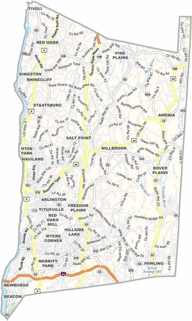
Dutchess County stretches along the eastern bank of the Hudson River, roughly halfway between New York City and Albany. It’s a place where history and hipster culture come together. Poughkeepsie serves as the county seat and is home to the Walkway Over the Hudson, the world’s longest elevated pedestrian bridge.
You can’t talk about Dutchess County without mentioning the Culinary Institute of America in Hyde Park. The area also has deep ties to American history, including FDR’s home and presidential library. Beacon has transformed from an old factory town into a destination for art lovers.
The county is home to some of the oldest wineries in the country. Rhinebeck attracts visitors with its upscale boutiques and farm-to-table restaurants. The Appalachian Trail also winds through the eastern part of the county, drawing visitors who enjoy exploring the outdoors.
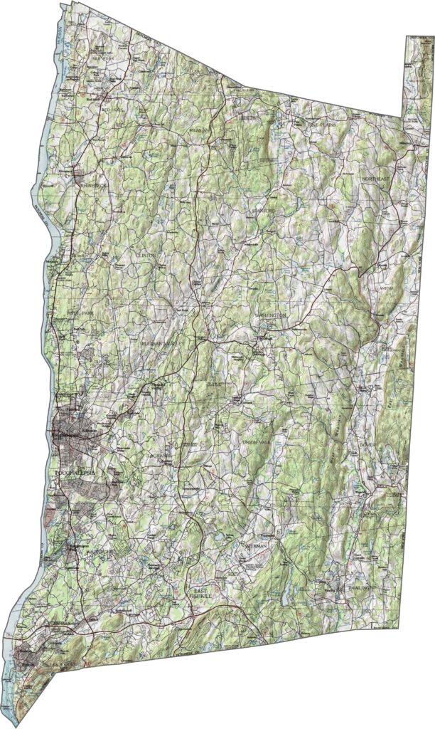
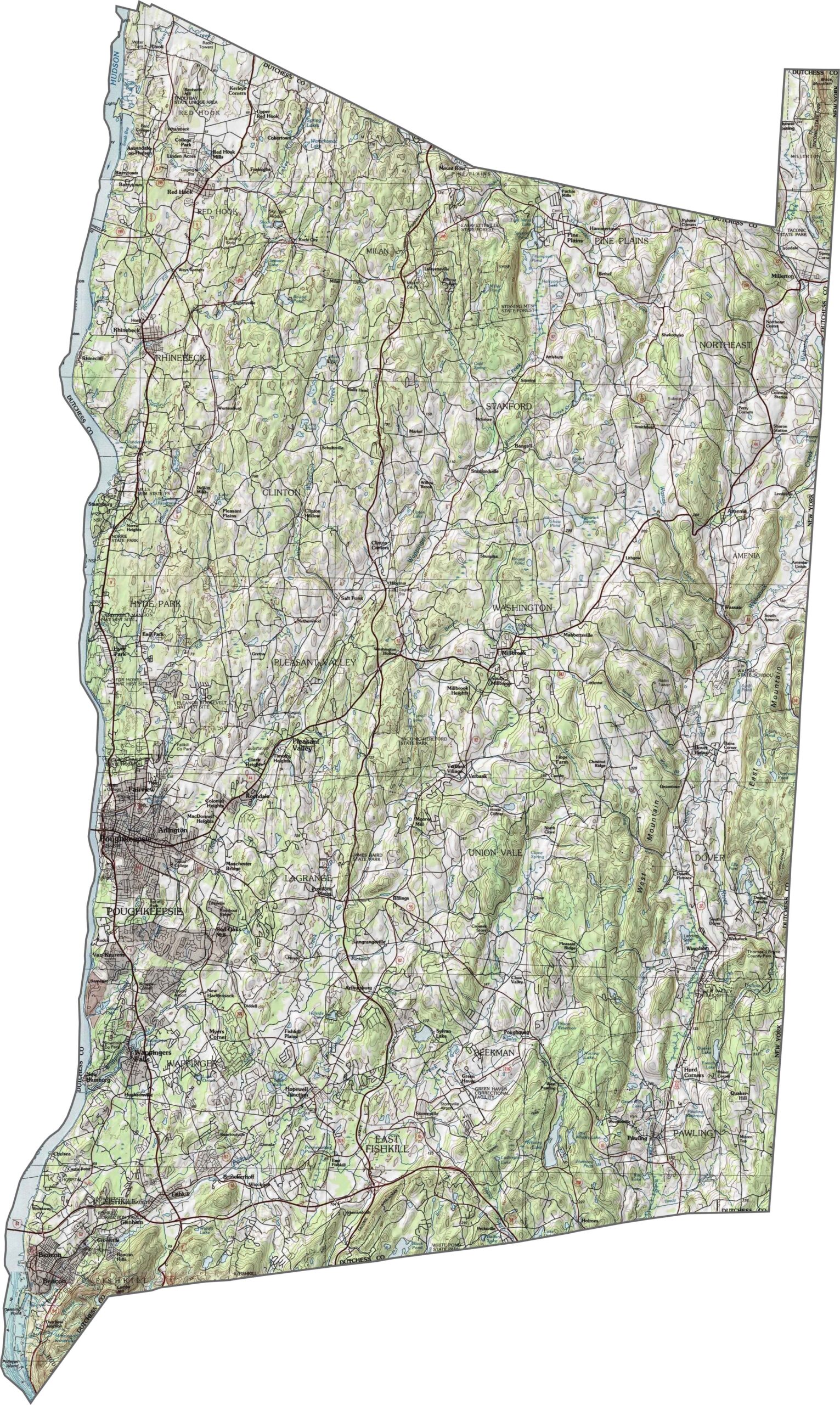
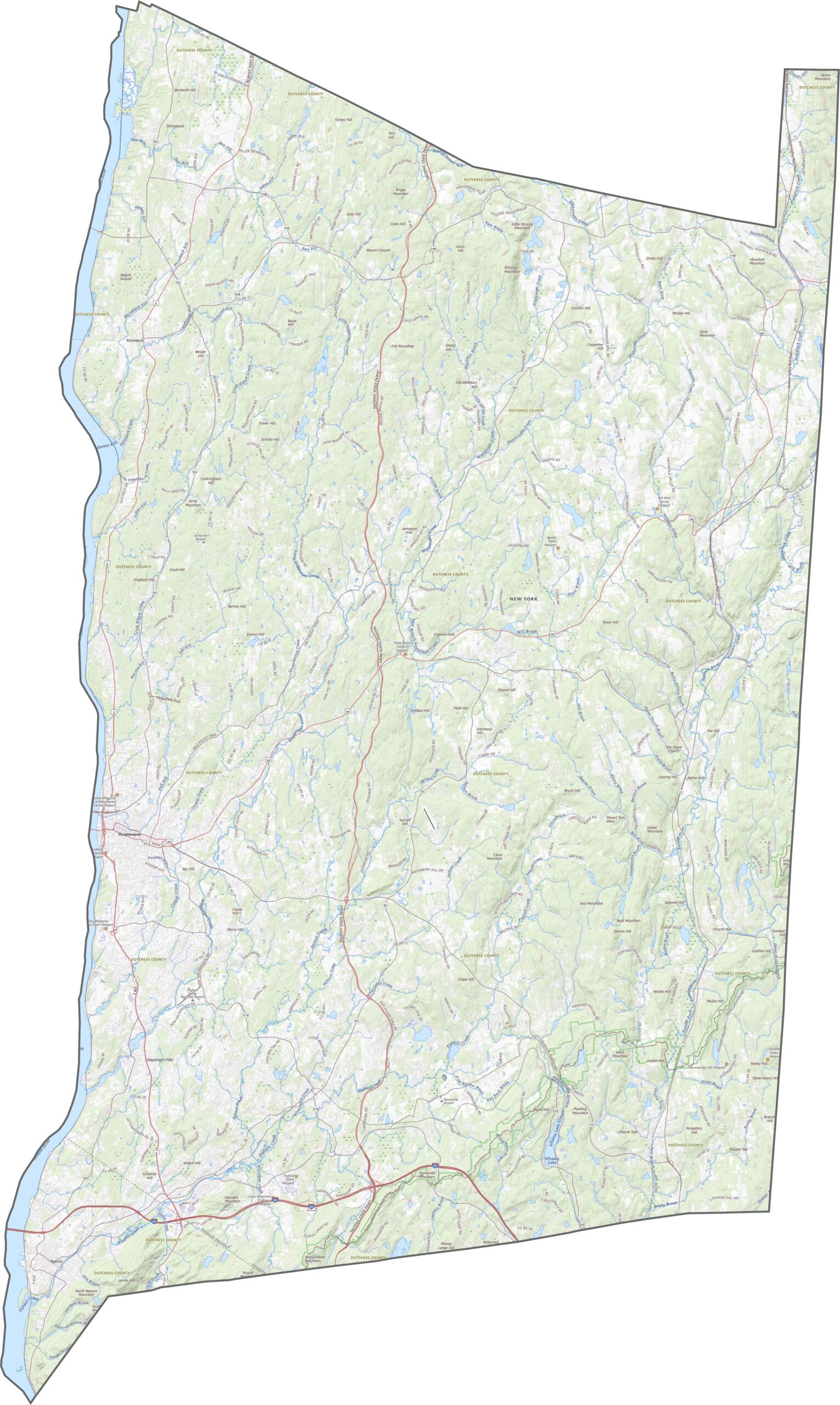
In Dutchess County, the land is low and flat near the Hudson River in the west, while elevation rises quickly toward the east. The eastern half features plenty of ridges and valleys. Although the hills aren’t especially high, they help shape the locations of towns and roads. Explore the terrain in our topographic map below.
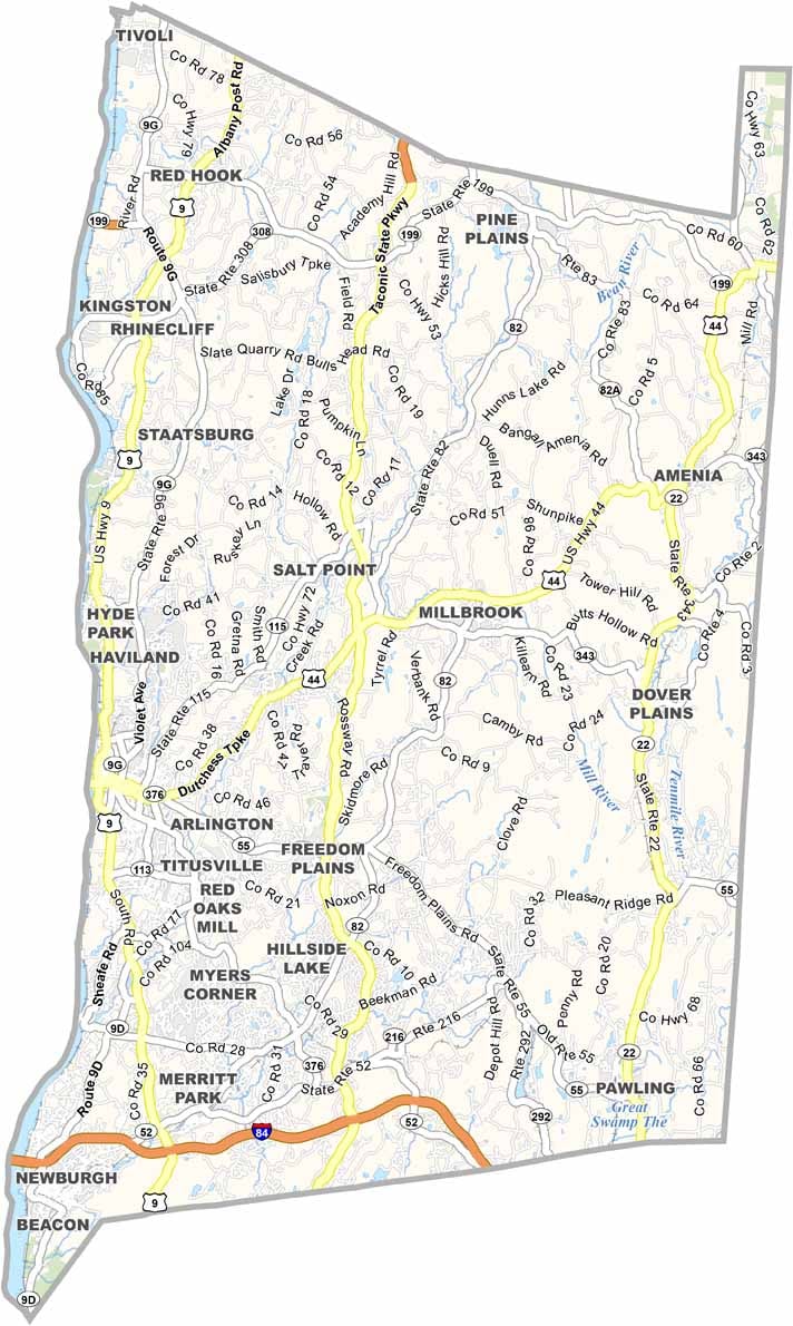
Dutchess County has a well-connected transportation network. U.S. Route 9, I-84, and NY-22 are among the main highways serving the area. The hilly terrain causes some roads to curve and wind through the county. Use our zoom tool below to explore the road map in greater detail.
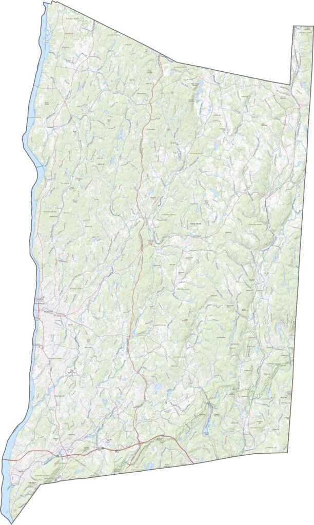
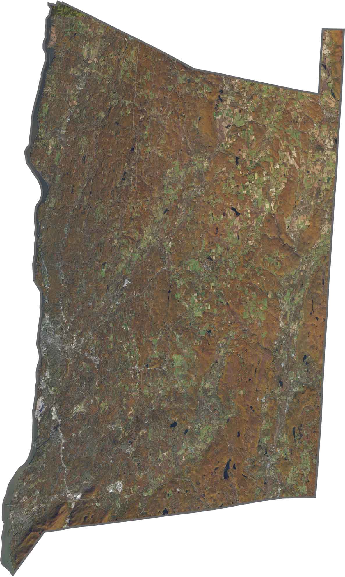
Forests and farmland cover much of the landscape, especially east of Poughkeepsie. The Hudson River stretches along the western edge, while towns stand out among the surrounding green and brown areas. Although Poughkeepsie is easy to spot, much of Dutchess County appears rural from above.
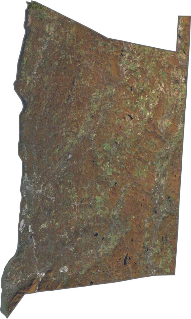
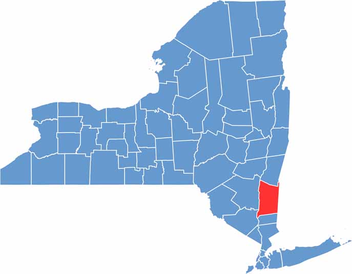
Dutchess County has a long, narrow shape that stretches from north to south. The Hudson River forms the county’s entire western border, while Connecticut borders it to the east.









New York has 62 counties, and each one has its own personality. From the nonstop energy of Manhattan to the quiet wilderness of the Adirondacks, there’s plenty of variety to explore. And yes, we can’t forget those famous Buffalo wings. Explore our New York county maps.