
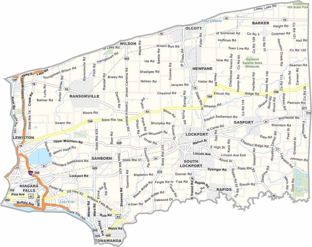
Niagara County is home to one of the world’s most famous natural wonders, Niagara Falls. Beyond the falls, the county features welcoming towns, local wineries, and scenic views along Lake Ontario.
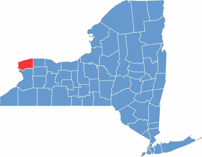
Located in western New York, the county borders Canada and Lake Ontario. But there’s much more here than the falls, including a rich history that can be seen throughout the area.
The Erie Canal runs through the county and was once an important transportation route. Orchards and vineyards spread across the landscape, while small towns offer plenty of local character. Lewiston, for example, is known for its charming main street.
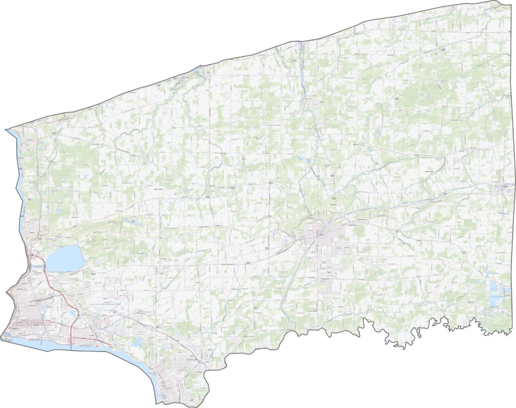
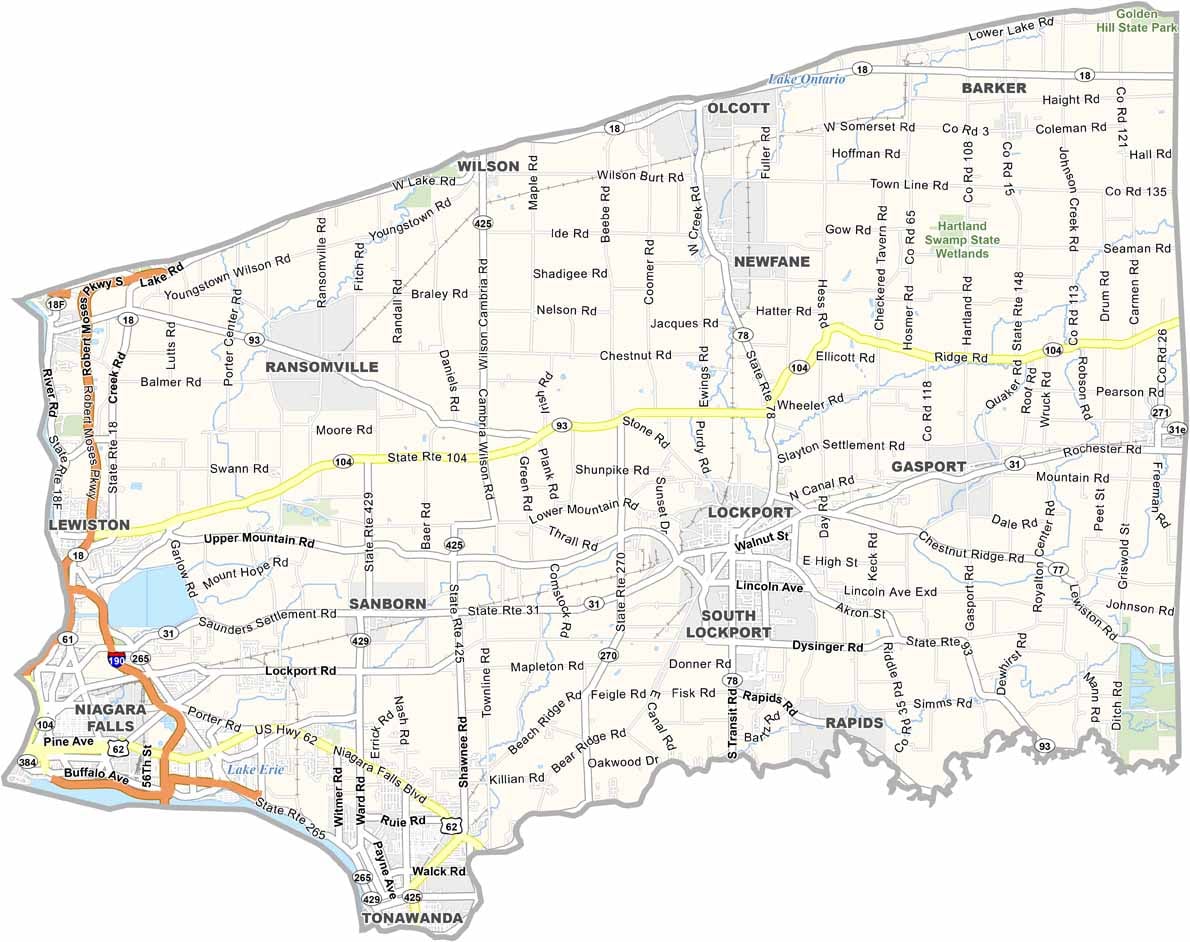
Several major routes connect communities across Niagara County. I-190 runs north from Buffalo and crosses the Niagara River, while NY-31 cuts east to west through the inland areas. Many roads pass through rural landscapes, while others follow the lakeshore. Use our zoom tool in the road map below to follow the routes in greater detail.
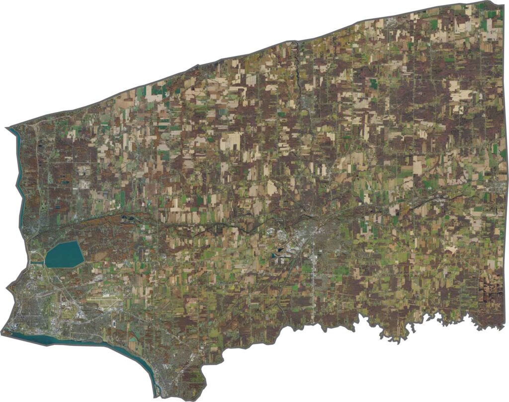
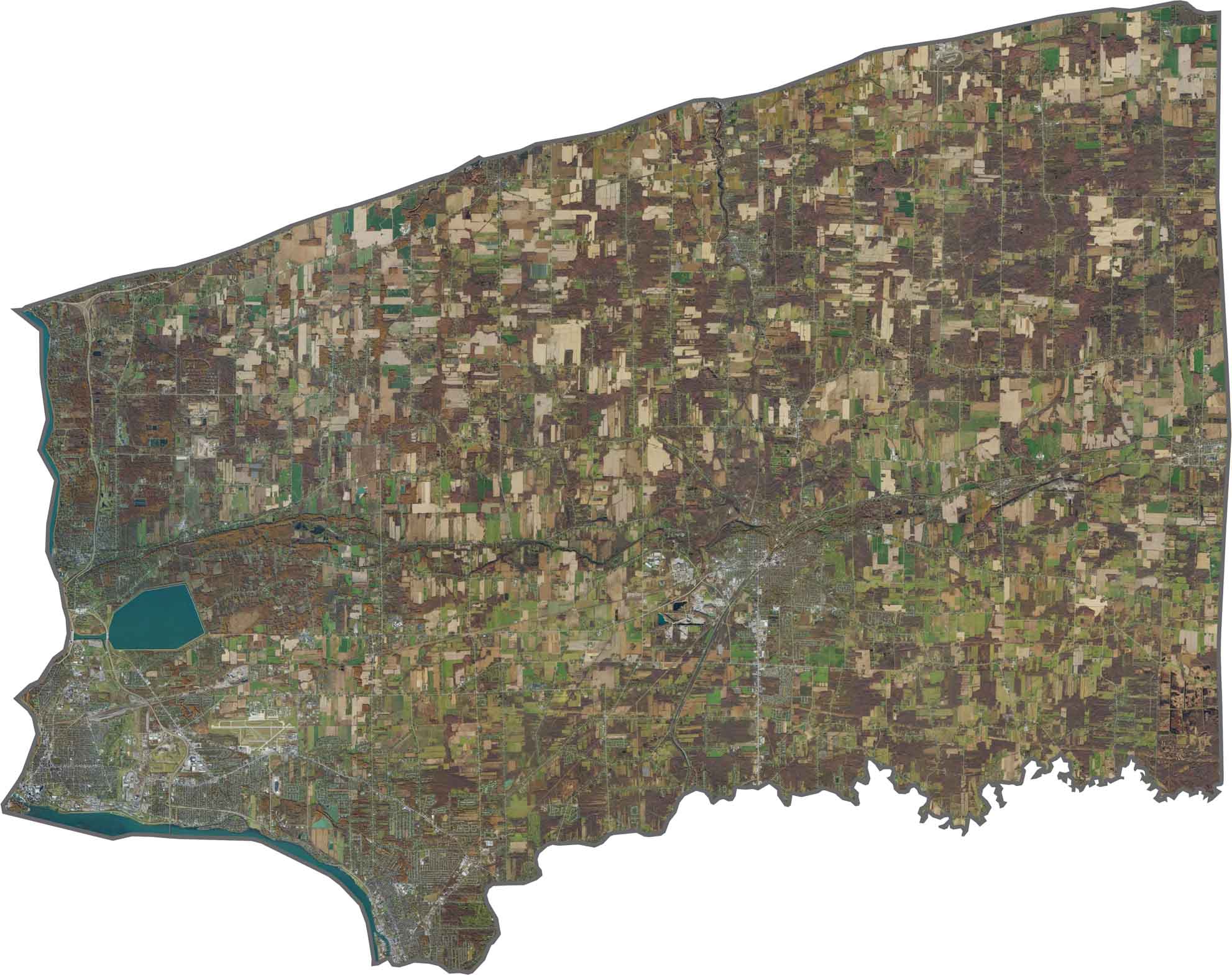
Niagara Falls stands out in the lower-left portion of the satellite imagery. The river cuts a deep channel toward Lake Ontario. North of the falls, fields and orchards cover much of the landscape, while towns such as Lockport and North Tonawanda stand out among the rural areas.
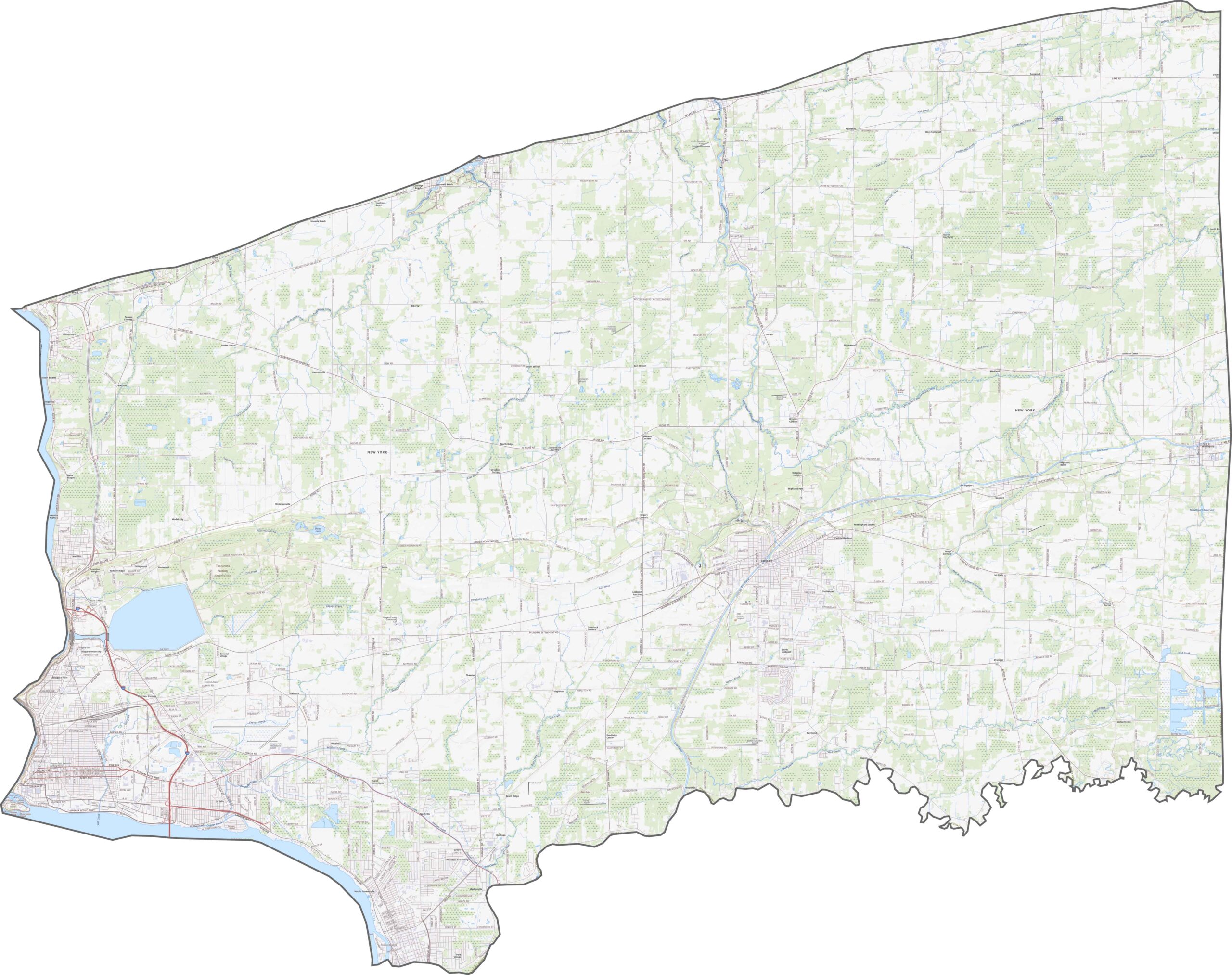
Niagara County stretches along both the Niagara River and Lake Ontario. It shares a border with Canada across the river and has a broad, somewhat triangular shape in the north.








New York has 62 counties, and each one has its own personality. From the nonstop energy of Manhattan to the quiet wilderness of the Adirondacks, there’s plenty of variety to explore. And yes, we can’t forget those famous Buffalo wings. Explore our New York county maps.