
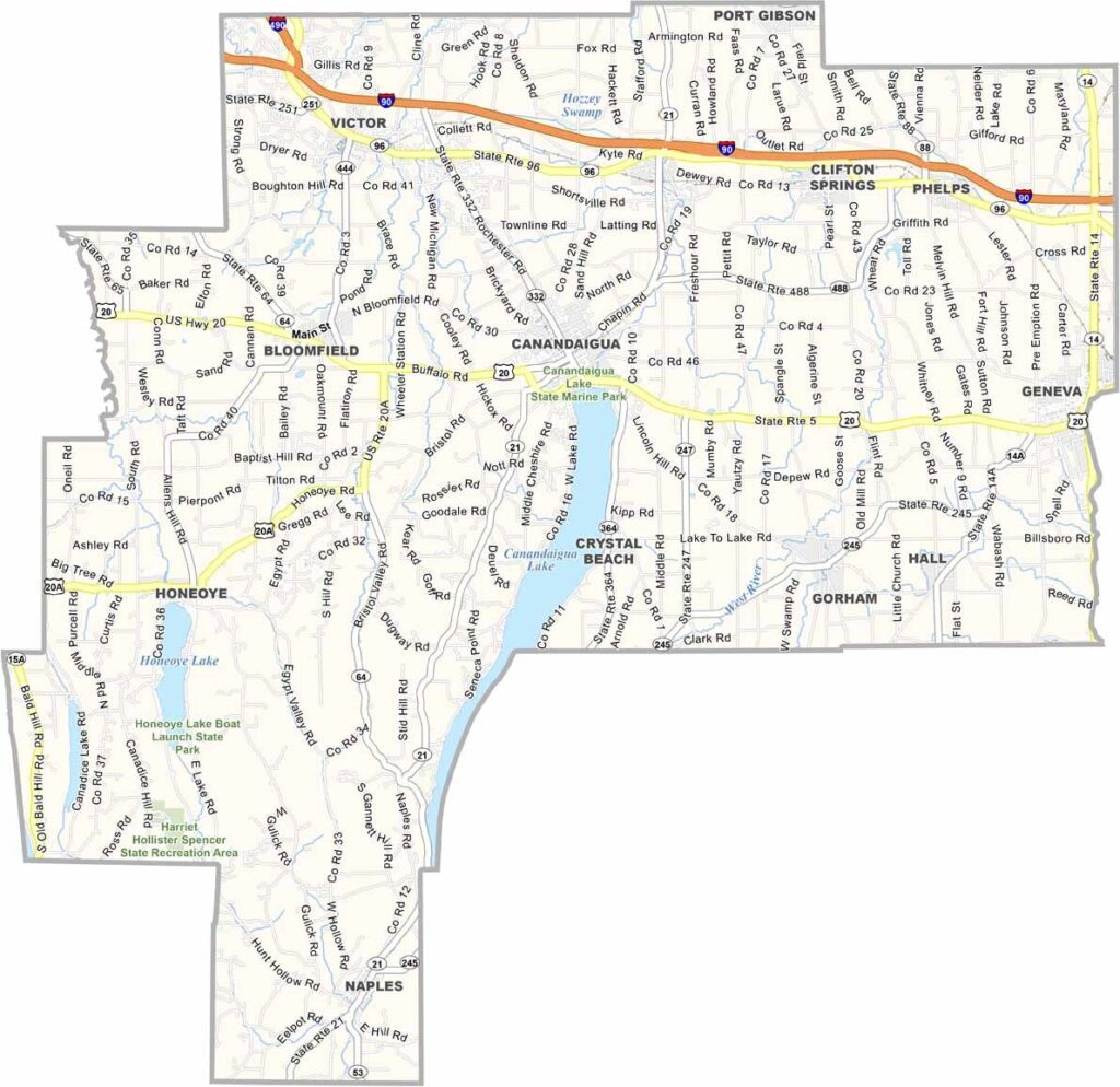
Ontario County is at the heart of Finger Lakes country in western New York, just south of Rochester. Canandaigua and Geneva are its two cities, and both sit along beautiful lakes.
The county has a strong agricultural tradition, with farm stands popping up everywhere during the summer. It’s also a dream destination for wine lovers, with vineyards covering the rolling hillsides.
History buffs will appreciate the area’s Native American heritage. Outdoor enthusiasts have plenty to enjoy too, with hiking, boating, and fishing opportunities found throughout the county.
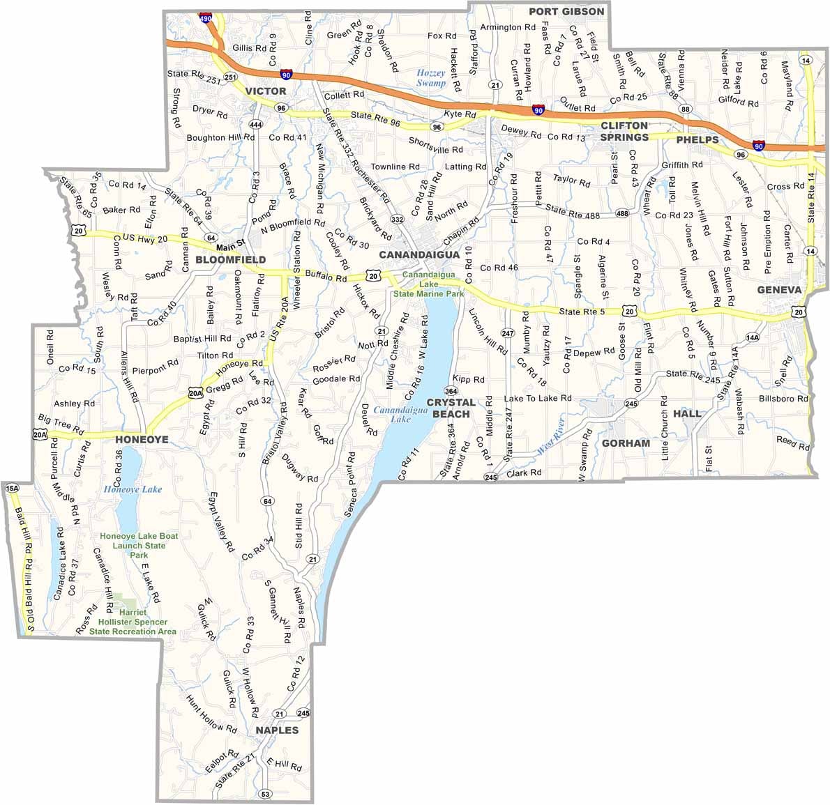
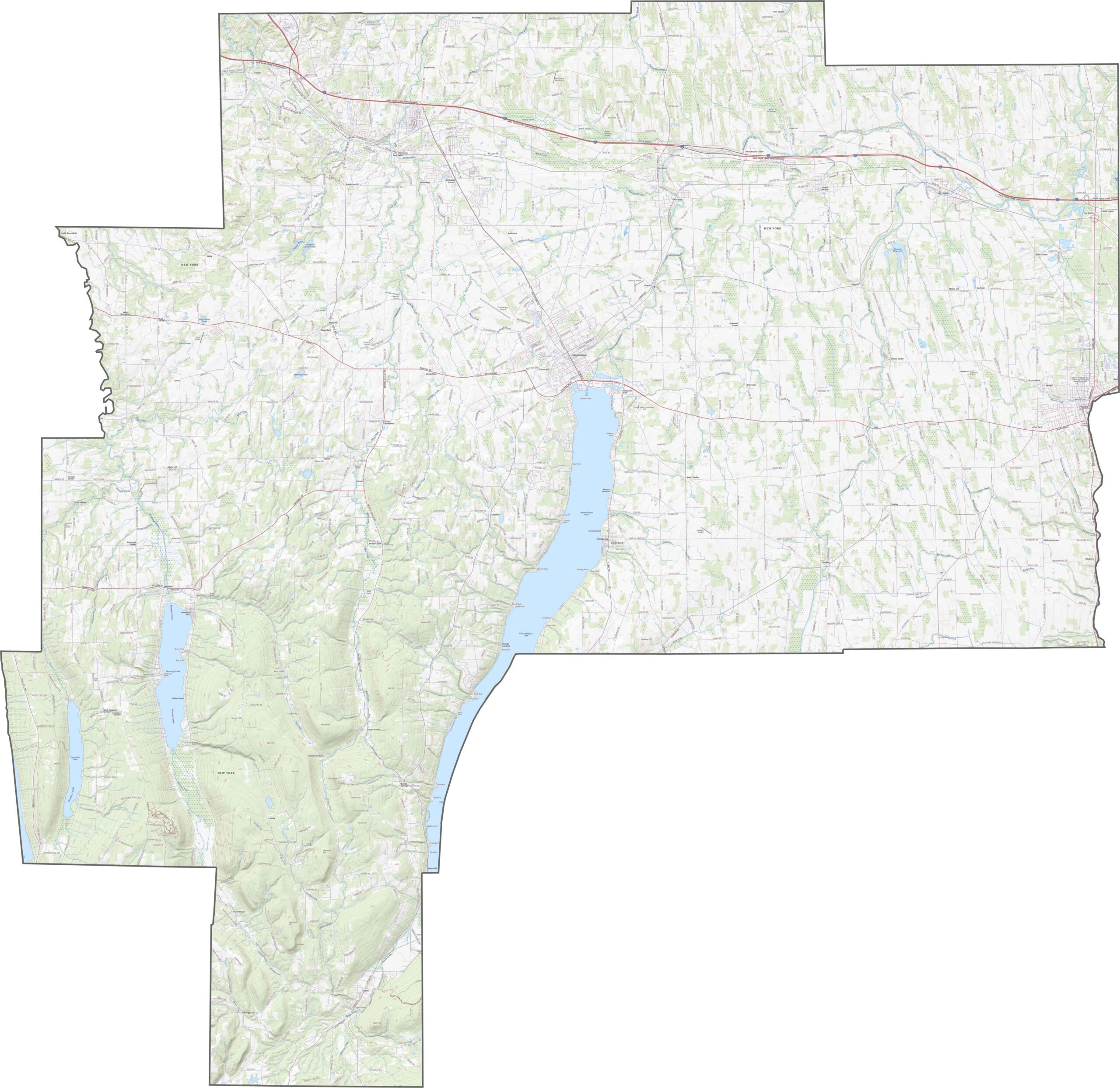
Ontario County has a mix of quiet roads and major highways. I-90 crosses the northern part, while US-20 runs east to west. Some routes pass through rural areas, but they still provide efficient connections. Use our zoom tool below to get a closer look at the road network.
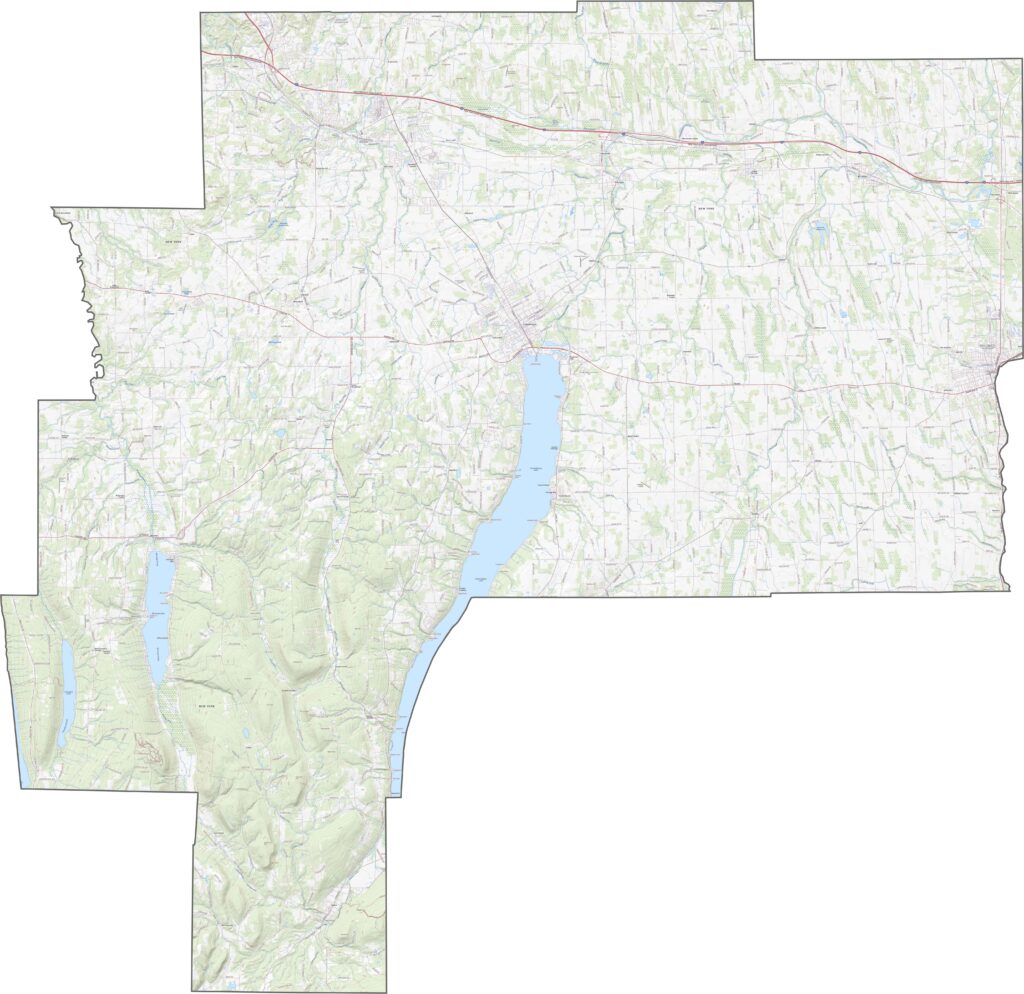
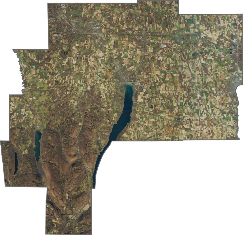
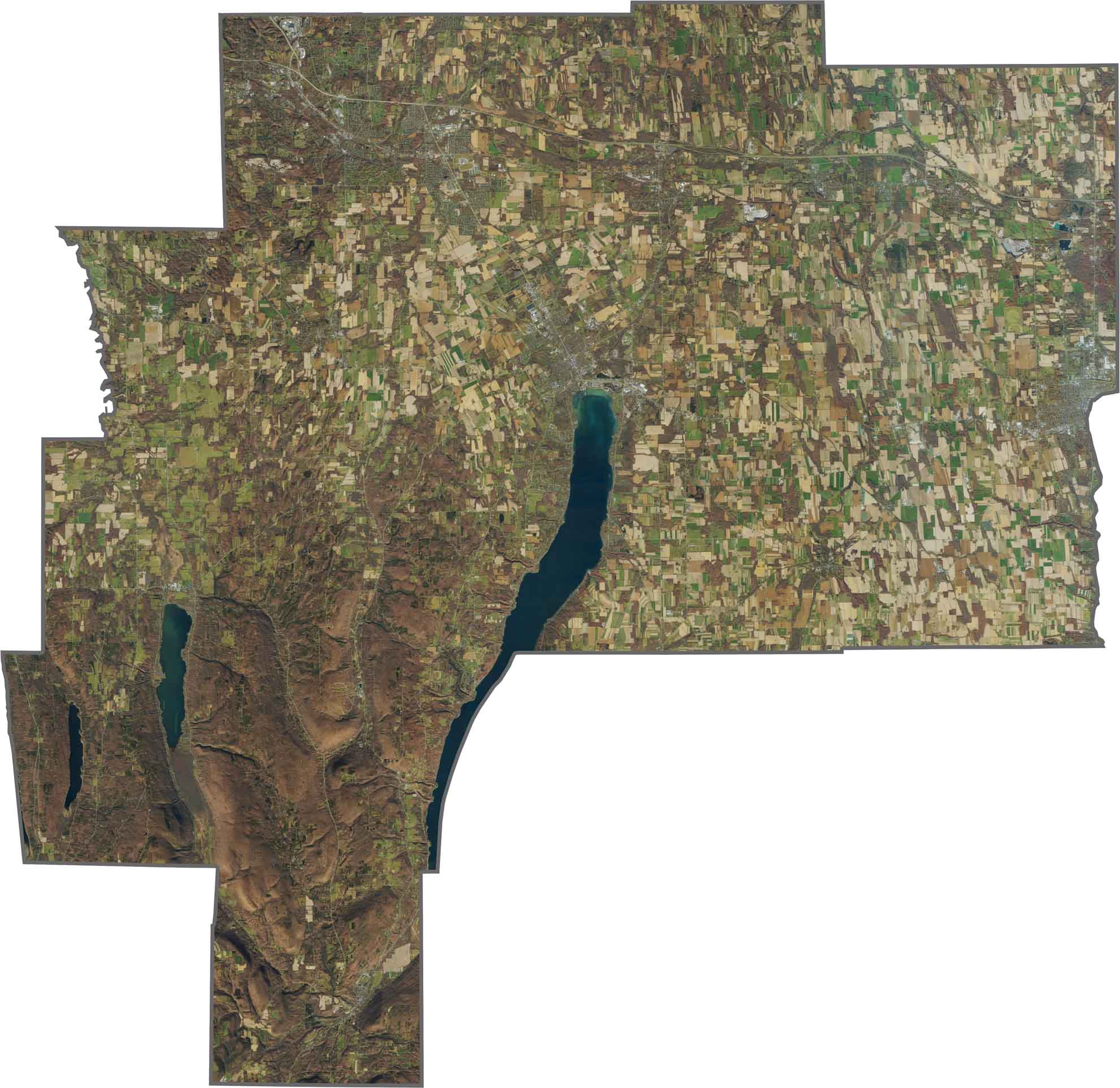
Canandaigua Lake dominates the landscape. From above, it appears as a narrow, deep-blue finger stretching north, with the city of Canandaigua sitting at its northern tip. Vineyards, forests, and farmland surround the lake. Geneva anchors the northeast, while most of the county remains a mix of rural green and brown landscapes.
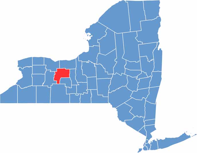
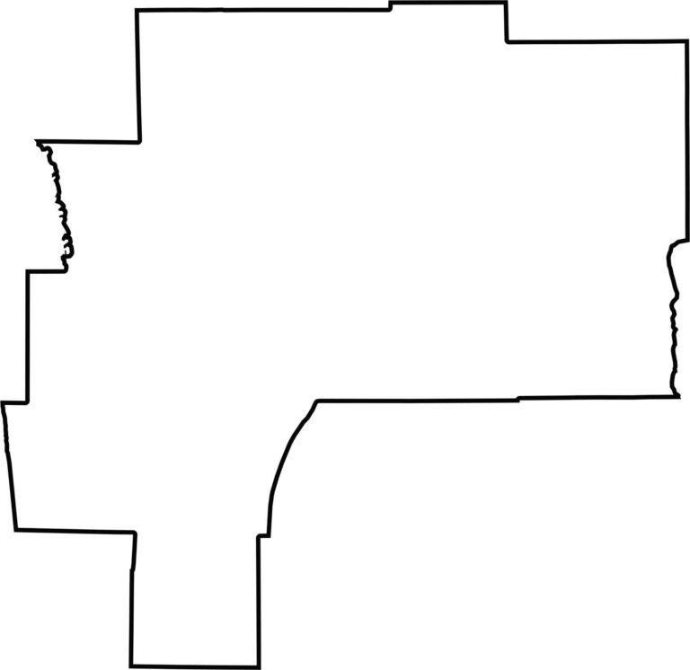
Ontario County has a somewhat blocky shape, but Canandaigua Lake gives the outline a distinctive look. The lake extends into the county like a long spoon. It does not border another state, but it shares boundaries with several other Finger Lakes counties.








New York has 62 counties, and each one has its own personality. From the nonstop energy of Manhattan to the quiet wilderness of the Adirondacks, there’s plenty of variety to explore. And yes, we can’t forget those famous Buffalo wings. Explore our New York county maps.