
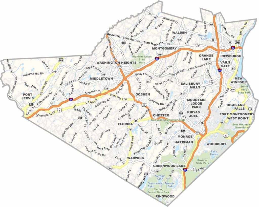
Orange County sits in the lower Hudson Valley, just about an hour north of New York City, yet it feels like a world away. The Hudson River forms its eastern border, adding to the county’s beautiful scenery.
West Point, the famous military academy, is located here, along with a popular outlet mall. But Orange County offers much more than shopping. It has a rich Revolutionary War history, and George Washington spent time in the area.
The county’s mix of farmland and small cities gives it a distinctive character. Newburgh, along the Hudson, is experiencing a revival, while visitors also come to explore Storm King Art Center, a massive outdoor sculpture park.
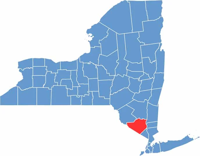
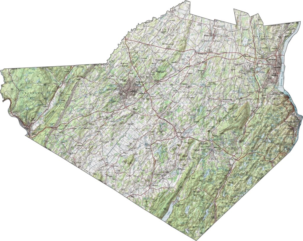
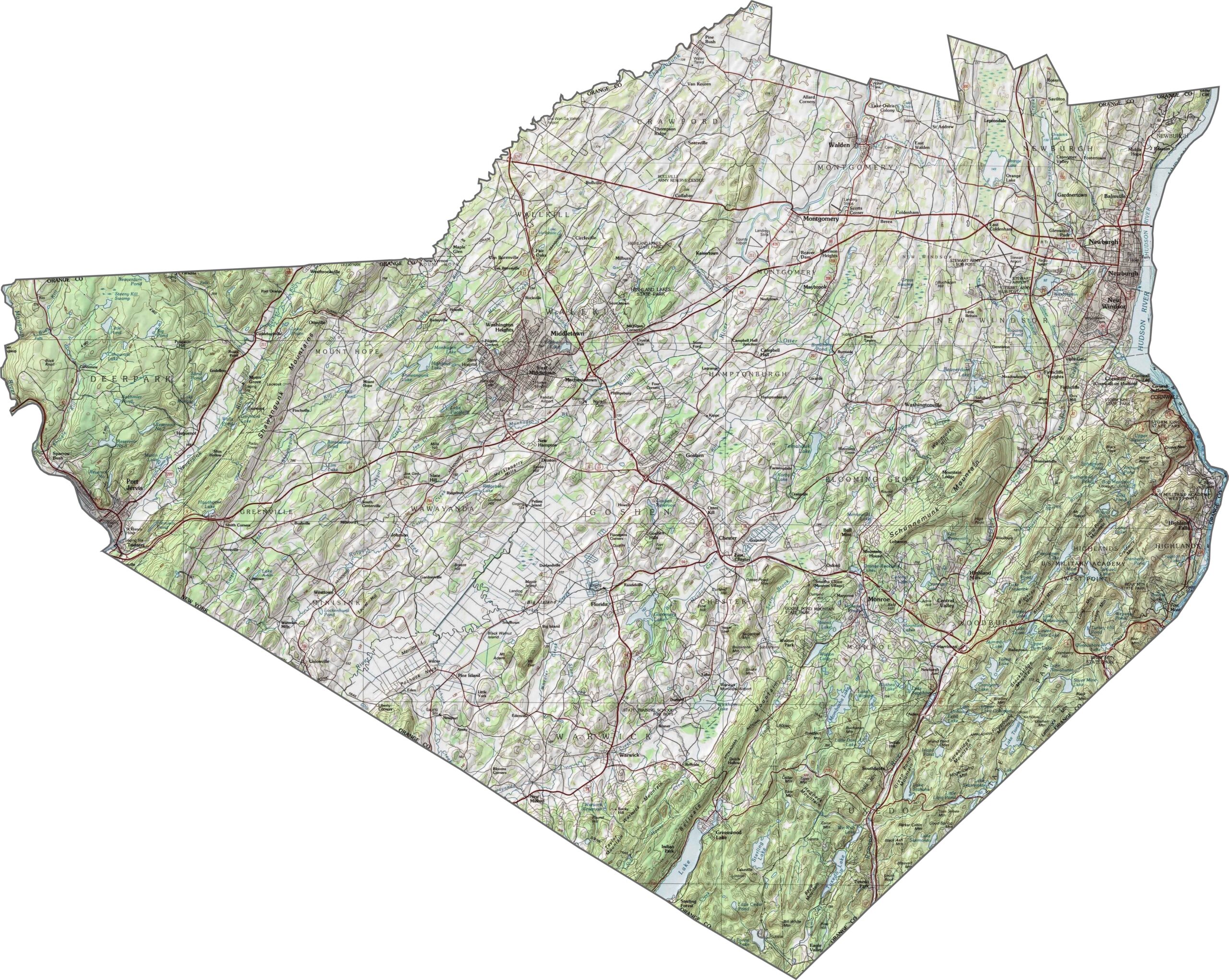
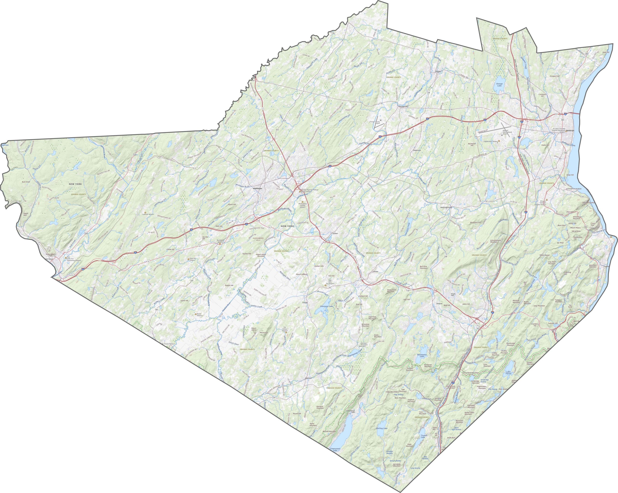
Orange County is a landscape of ridges, rivers, and valleys. The Hudson River forms the eastern edge, with steep bluffs in some areas. Farther west, the Appalachian Highlands create more rugged terrain. Between them are broad, fertile valleys. Elevation changes quickly and often across Orange County.
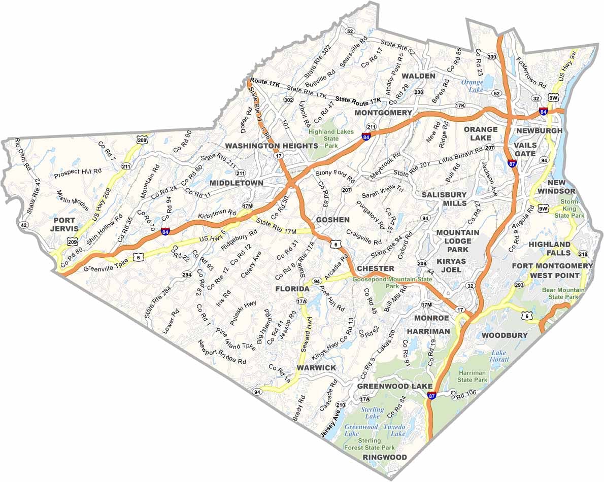
Major highways cut across Orange County. I-84 runs east to west across the northern part, while I-87 travels north to south. US-6 and NY-17 twist and merge through the middle of the county. Even in rural areas, the highways can stay busy. If you’re trying to avoid traffic around Newburgh or Middletown, the zoom tool can help you plan a better route.
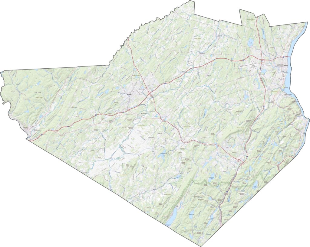
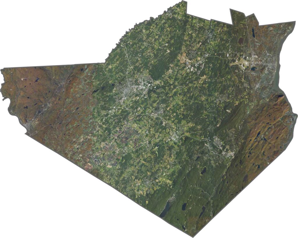
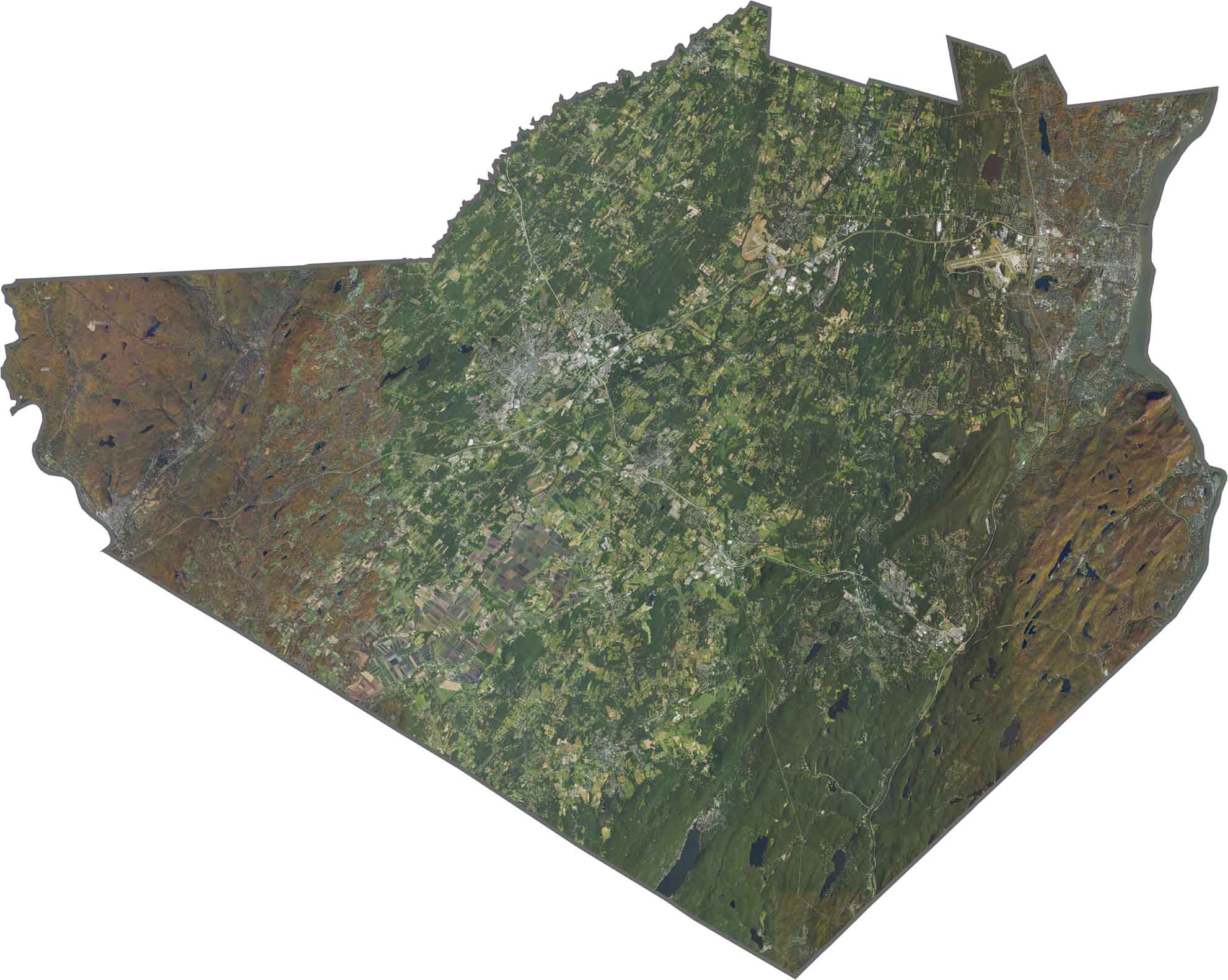
From above, you’ll see a mix of urban areas, forests, and farmland. Urban development clusters near the Hudson, while large stretches of forest cover the western part of the county. Farmland also fills much of the open landscape. Use our zoom tool and satellite map below to explore the area in greater detail.
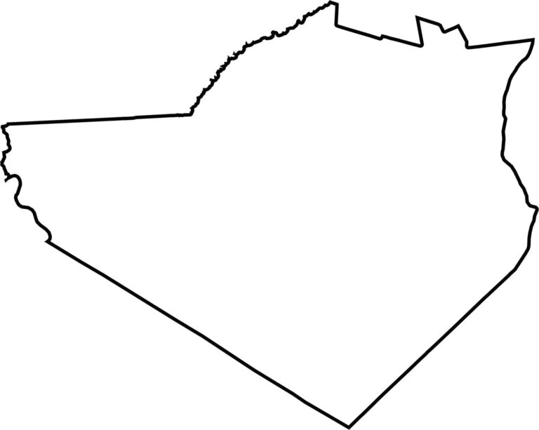
The Hudson River forms the entire eastern border. Orange County meets New Jersey to the south and Pennsylvania at its southwestern tip. The county has a wide, irregular shape that becomes almost triangular in the south, with rugged edges toward the north.








New York has 62 counties, and each one has its own personality. From the nonstop energy of Manhattan to the quiet wilderness of the Adirondacks, there’s plenty of variety to explore. And yes, we can’t forget those famous Buffalo wings. Explore our New York county maps.