
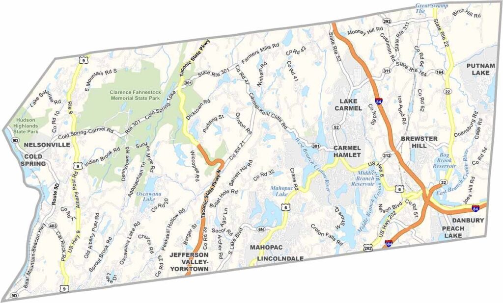
Putnam County sits about an hour north of New York City in the Hudson Valley. It’s a place where you can get away from the city without traveling too far.
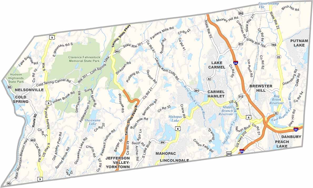
The county has a mix of small towns and wide-open spaces. Cold Spring is a popular destination, with its charming Main Street and beautiful views of the Hudson River. Locals also enjoy fishing in the many reservoirs scattered throughout the area.
Hiking trails crisscross the county, making it easy to get outdoors on the weekends. The Appalachian Trail passes through the eastern part of the county, offering plenty of peaceful spots to slow down and catch your breath.
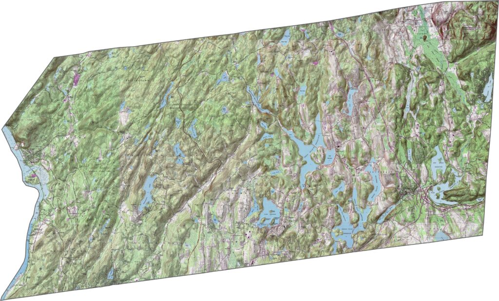
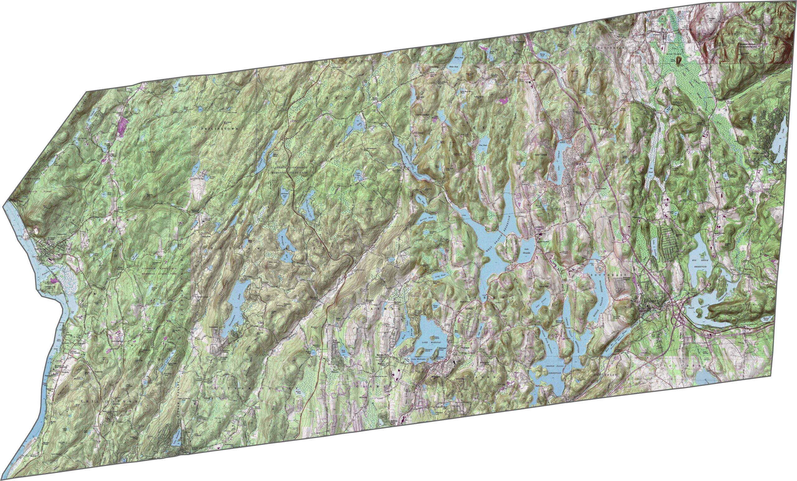
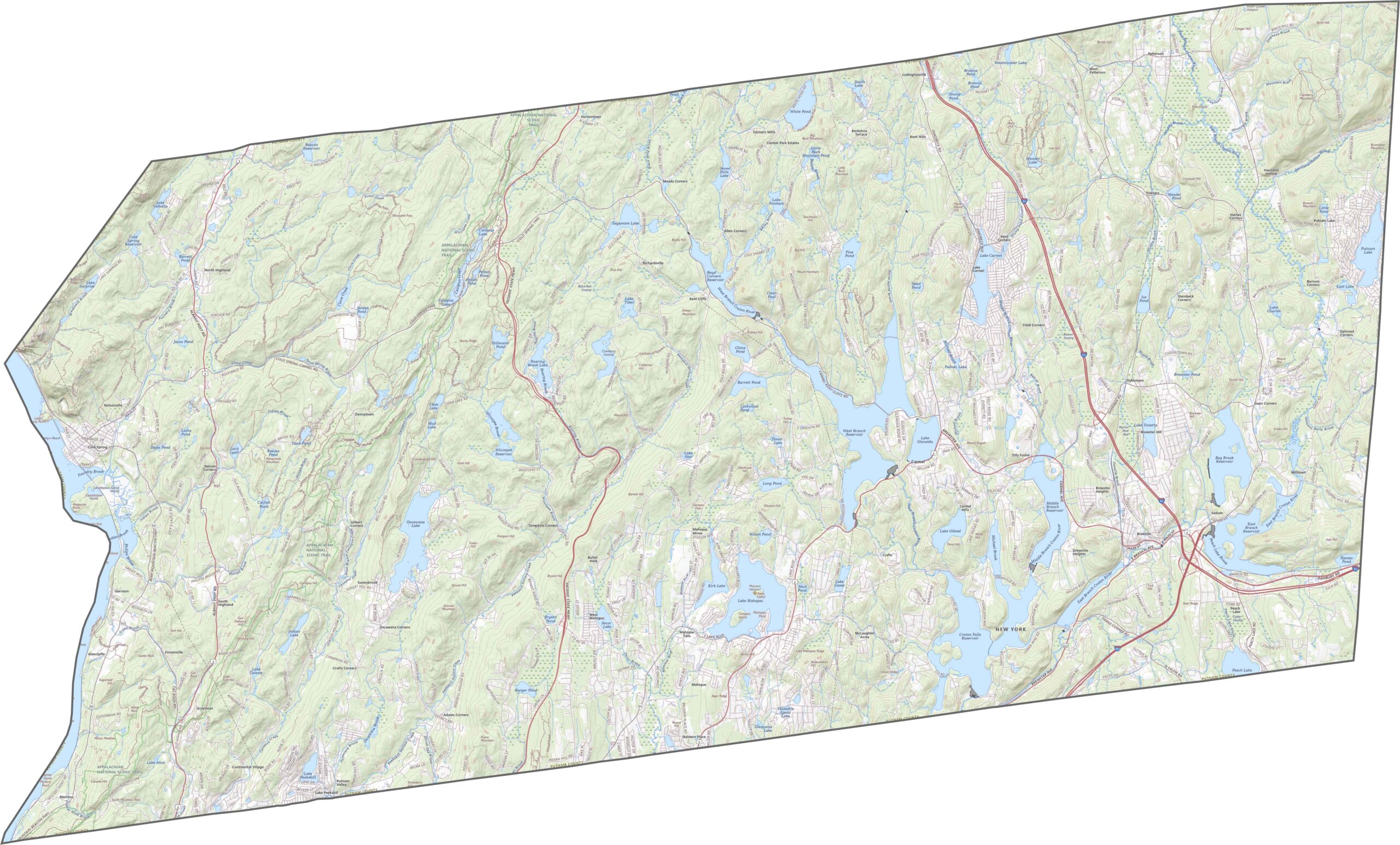
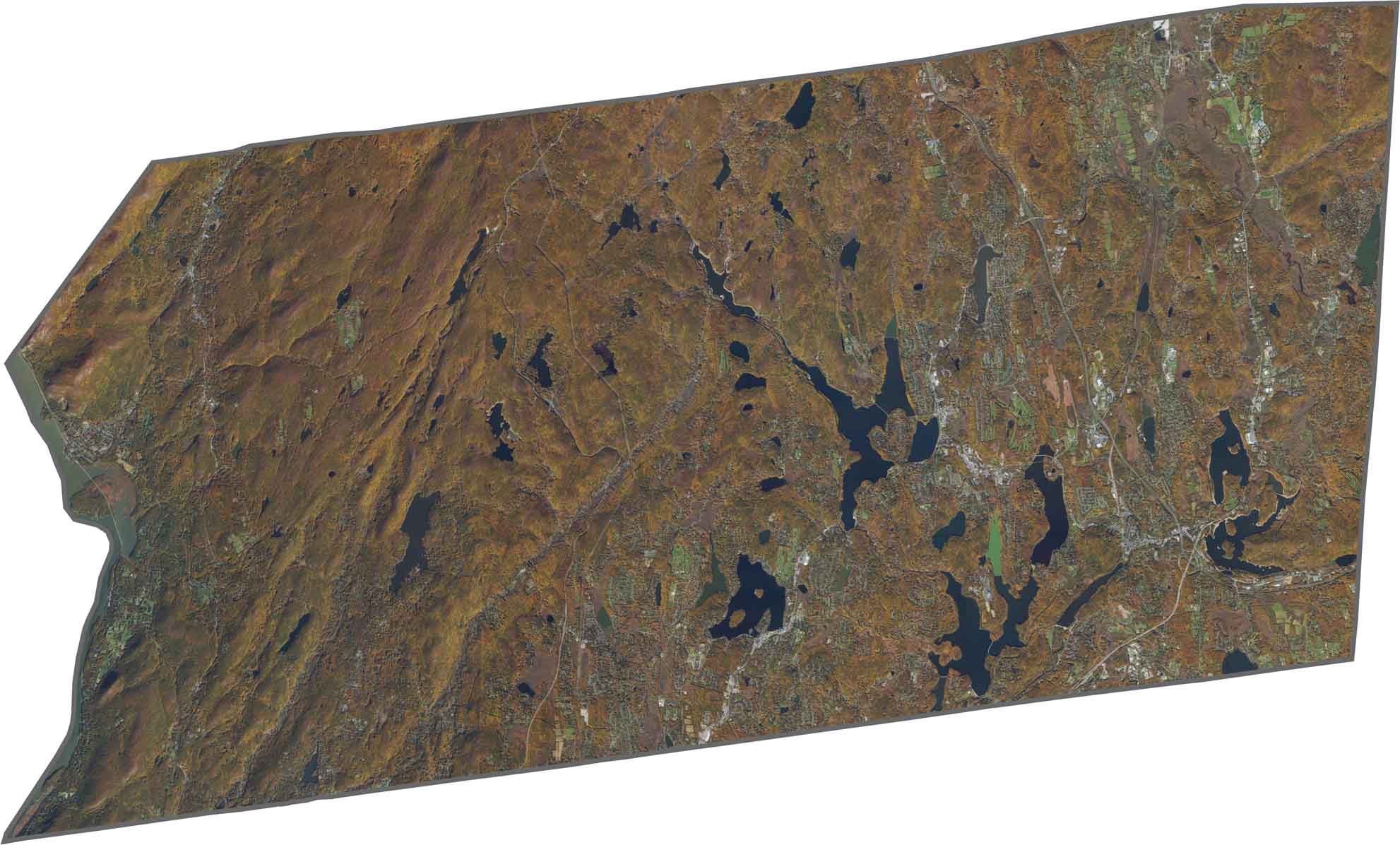
Hilly terrain is the norm here. Putnam County is part of the Hudson Highlands, so elevation changes quickly. Deep lakes such as Lake Mahopac and Lake Oscawana sit within valleys. Ridges run across the landscape, especially near the Connecticut border. The terrain feels more Appalachian than suburban.
Despite its small size, Putnam has solid road coverage. I-84 crosses the eastern part of the county, while I-684 clips the southeast. US-6 and NY-22 also run through the area. Not every road is an expressway, though, as some routes curve around lakes and hills. If you want to follow every bend, the zoom tool below is your friend.
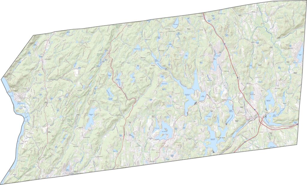
Green dominates the view, with forests, lakes, and hills covering much of the county. Scattered towns, including Brewster and Carmel, stand out among the greenery. Beyond them, wooded neighborhoods and winding roads fill the landscape. The Hudson River marks the western edge, where a steep slope rises above the water.
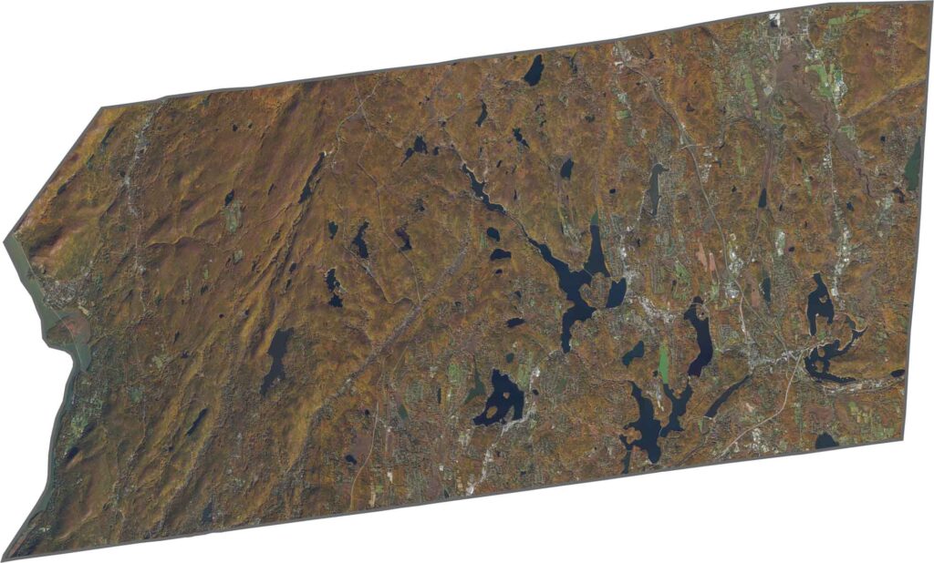
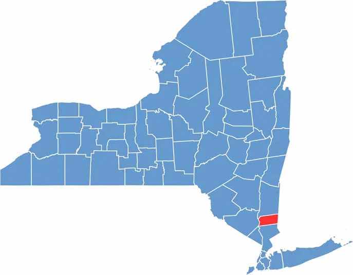
Putnam County has a sideways rectangular shape. The Hudson River borders the west, while Connecticut touches the eastern edge. Westchester County lies to the south and Dutchess County to the north. The outline becomes bumpy in places, especially where it follows lakes and ridges.









New York has 62 counties, and each one has its own personality. From the nonstop energy of Manhattan to the quiet wilderness of the Adirondacks, there’s plenty of variety to explore. And yes, we can’t forget those famous Buffalo wings. Explore our New York county maps.