
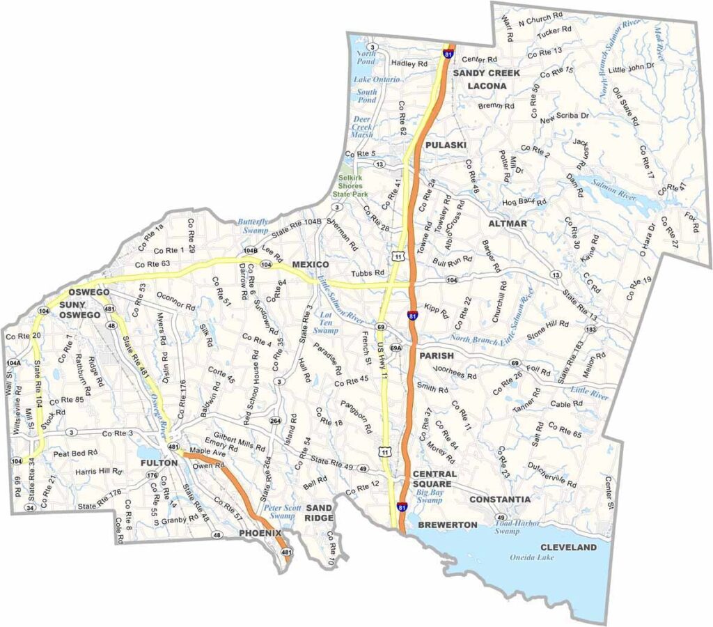
Oswego County sits in north-central New York, where Lake Ontario meets the Oswego River. The area is known for its waterfront, charming small towns, and plenty of outdoor activities.
This place has some seriously cool history. Fort Ontario has stood guard here since the 1700s. Salmon fishing is also a big deal, attracting anglers from all over, especially around Oneida Lake.
The county is packed with small towns that have plenty of character, including Pulaski. Oswego is home to an impressive lighthouse that you can climb for amazing views. The SUNY Oswego campus also brings a youthful vibe to the area.
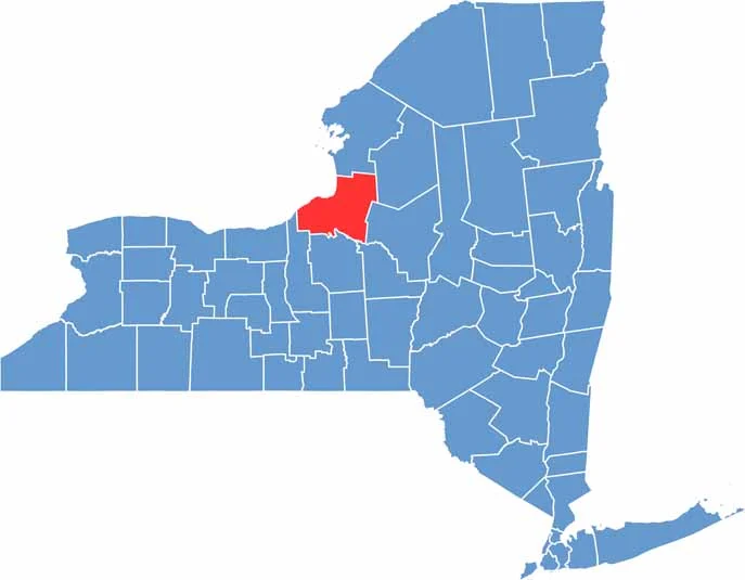
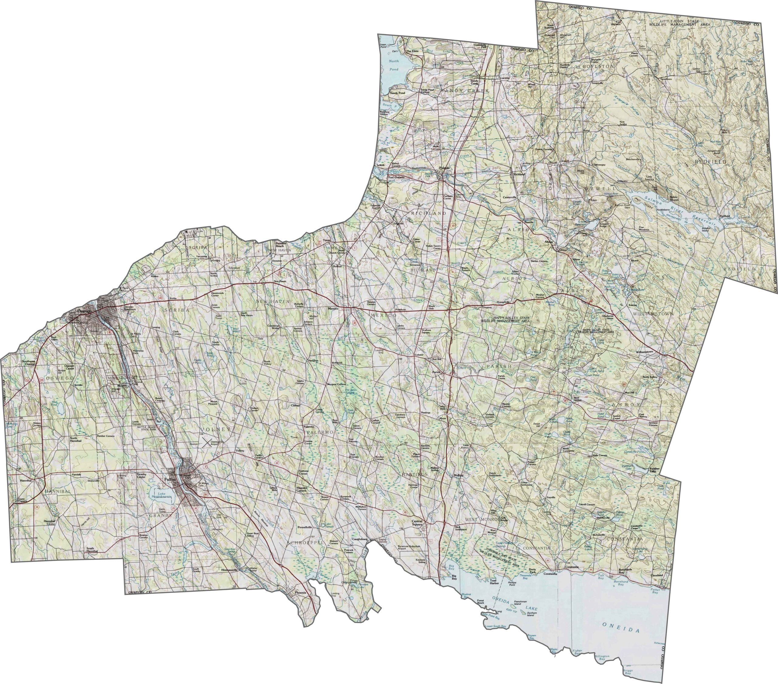
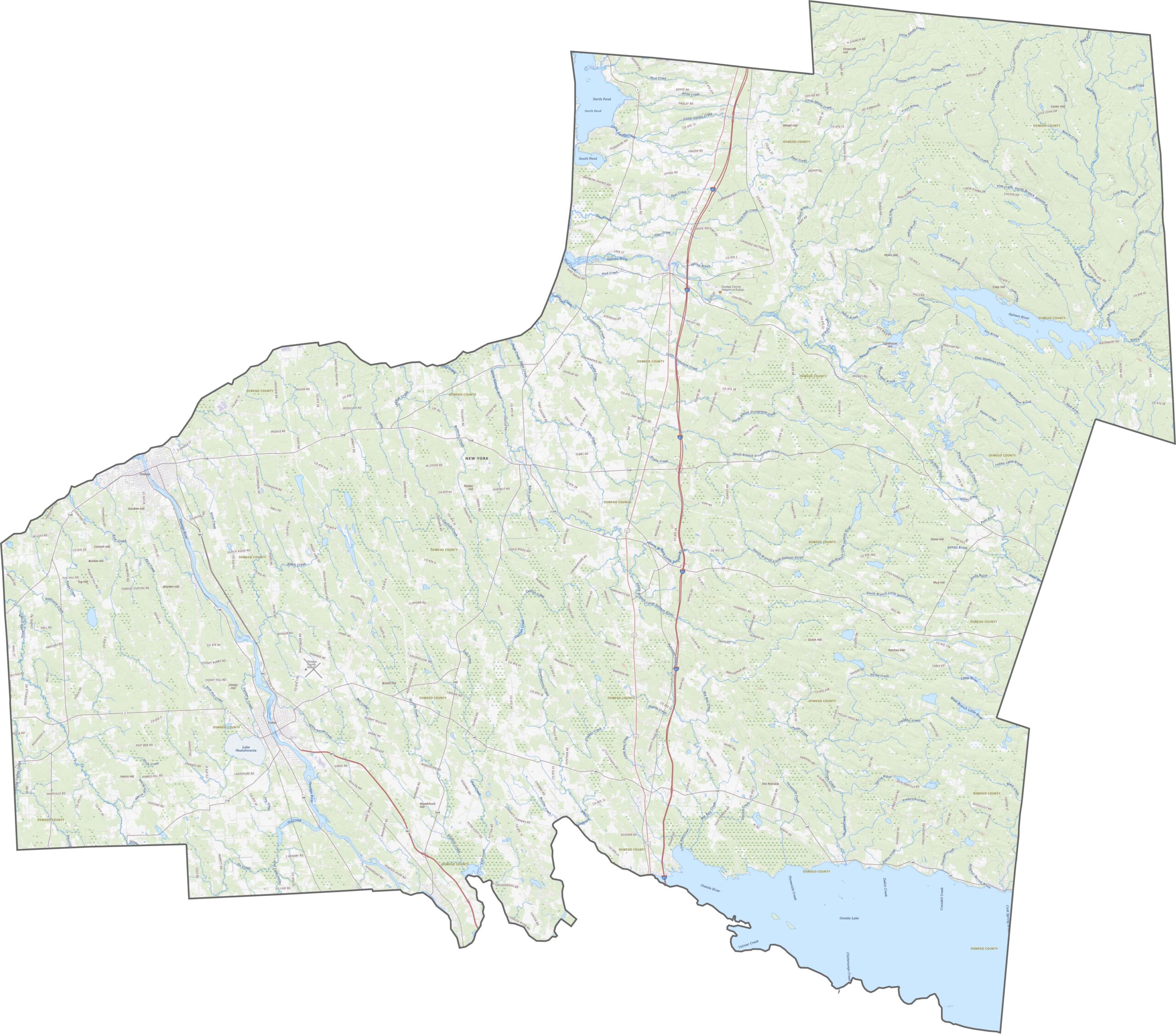
The lakes shape much of Oswego County. Land near Lake Ontario stays mostly flat, while hills gradually rise farther inland. The elevation changes aren’t dramatic, but they remain steady. You can explore these details more closely on our topographic map using the zoom tool below.
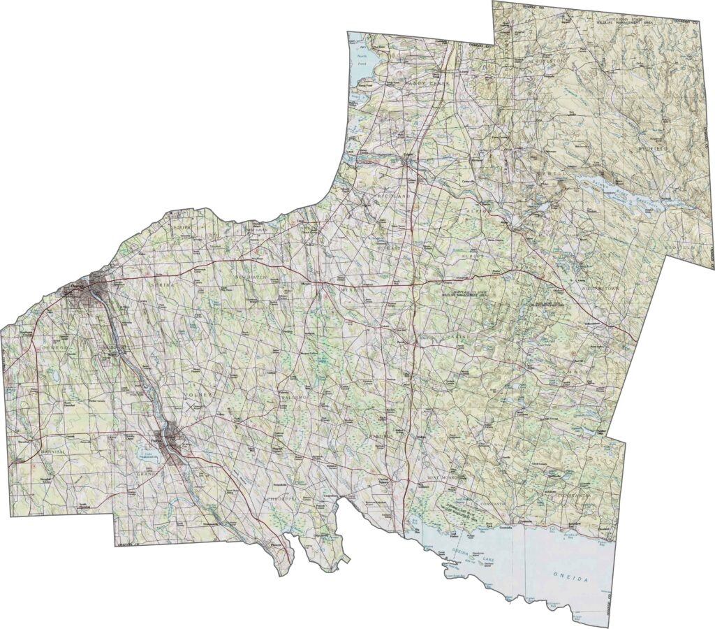
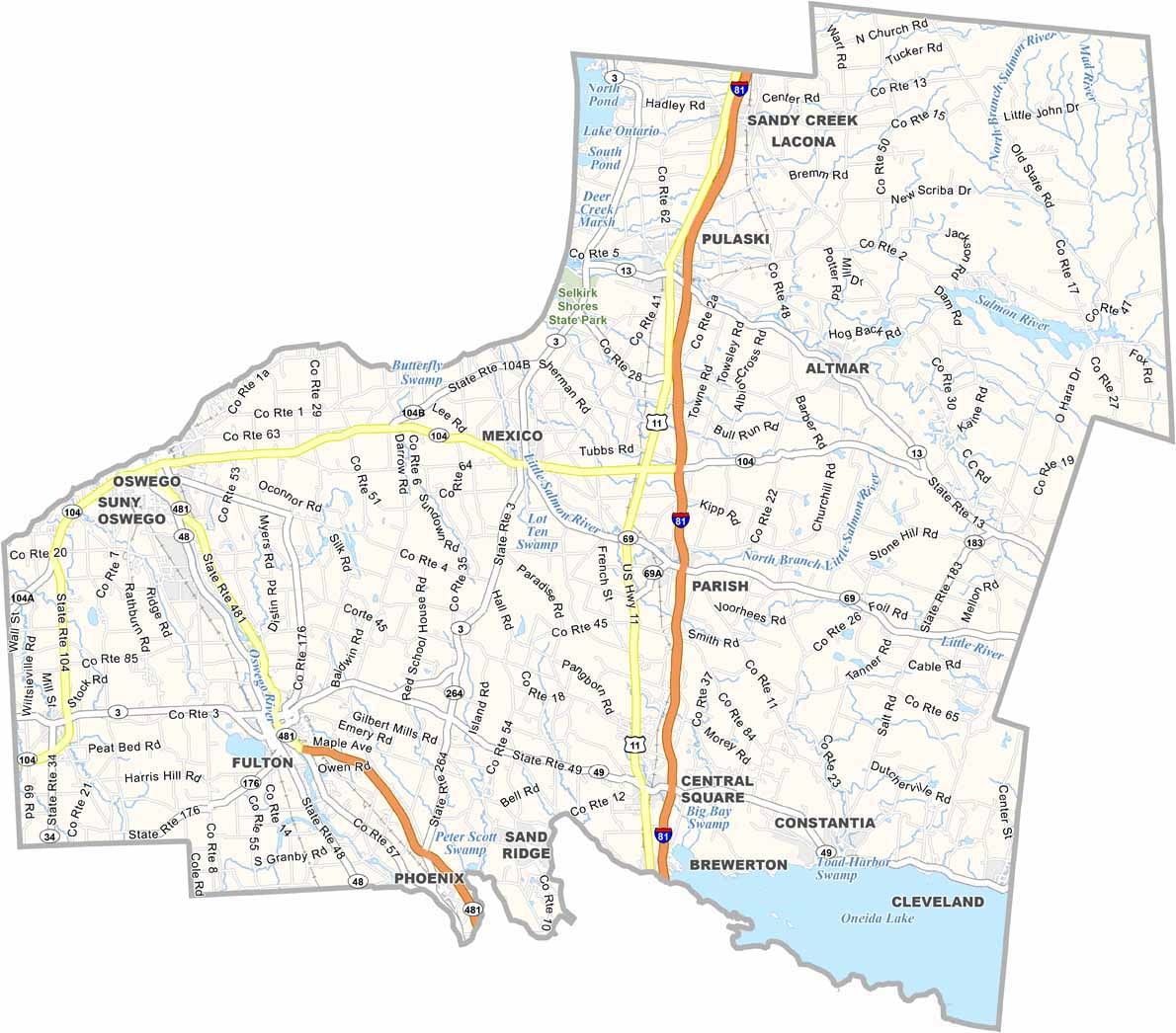
Some of the major routes through Oswego County include NY-481, I-81, and U.S. Route 11. Use our zoom tool to follow the roads and avoid making wrong turns on the backroads.
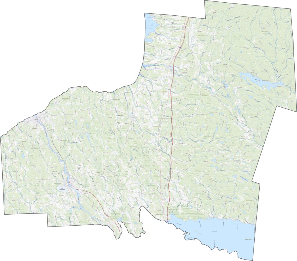
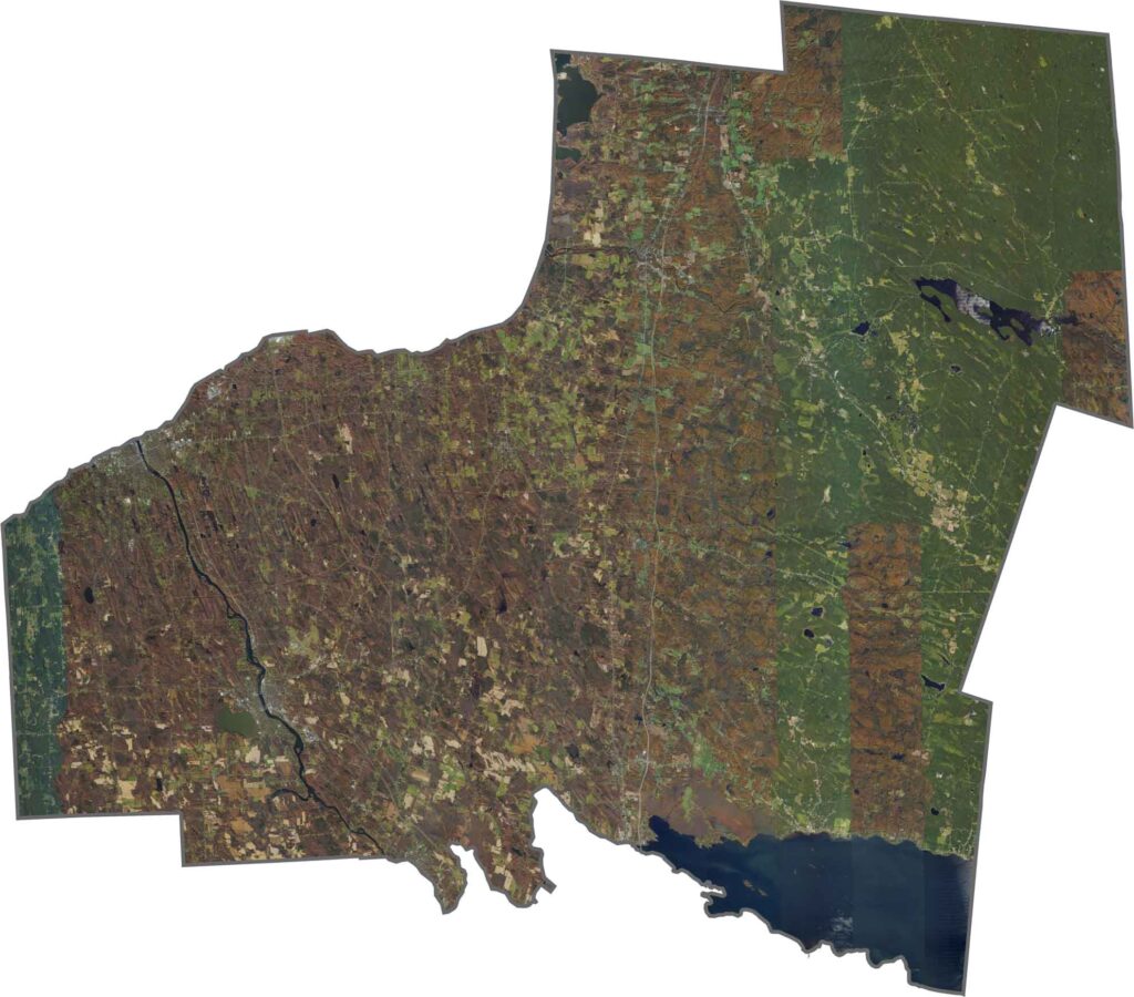
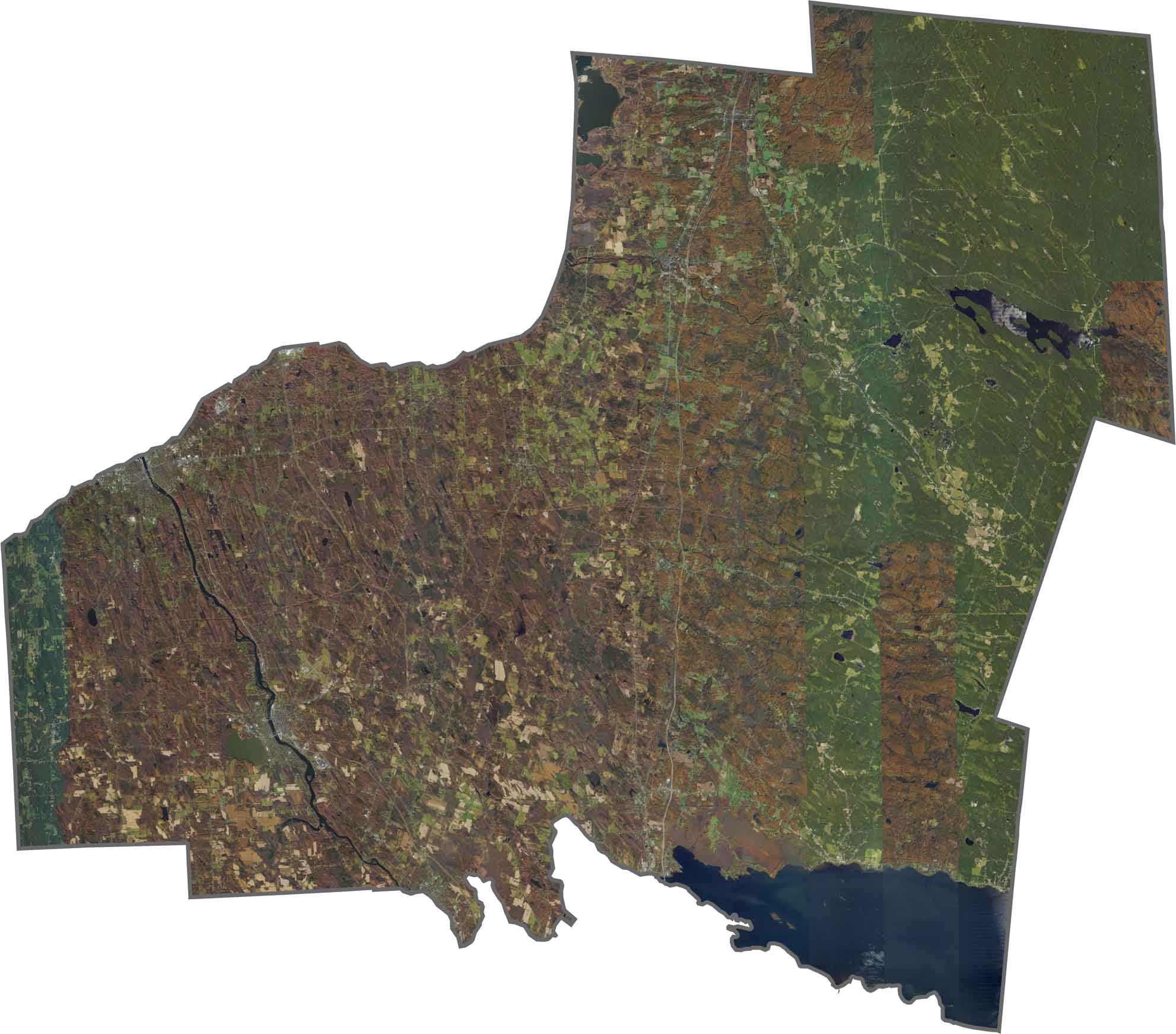
Lake Ontario dominates the northern edge, with the city of Oswego sitting along the shore in a clear street grid. Farther inland, the landscape becomes green and open. Forests are thicker in the southeast, while farmland covers much of the west. The Oswego River runs north toward the lake.
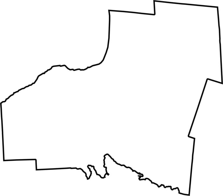
Oswego County has a mostly rectangular shape in the north, becoming smoother toward the southeast. It borders Lake Ontario to the north and Lewis County to the east.








New York has 62 counties, and each one has its own personality. From the nonstop energy of Manhattan to the quiet wilderness of the Adirondacks, there’s plenty of variety to explore. And yes, we can’t forget those famous Buffalo wings. Explore our New York county maps.