
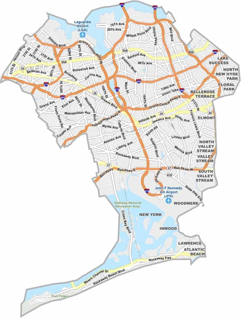
Queens sits next to Manhattan on the western end of Long Island. It’s New York City’s largest borough by land area and one of its most diverse. You can hear languages from around the world just walking down the street.
Flushing Meadows-Corona Park hosted two World’s Fairs and remains a major attraction. Queens is also known for offering some of the city’s most authentic international cuisine, with restaurants representing cultures from around the globe.
The Mets play at Citi Field, while Rockaway provides beaches along the coast. Queens is also home to two major airports, JFK and LaGuardia. The US Open tennis tournament takes place here every year. It’s a borough that keeps changing while holding on to its unique character.
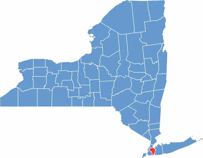
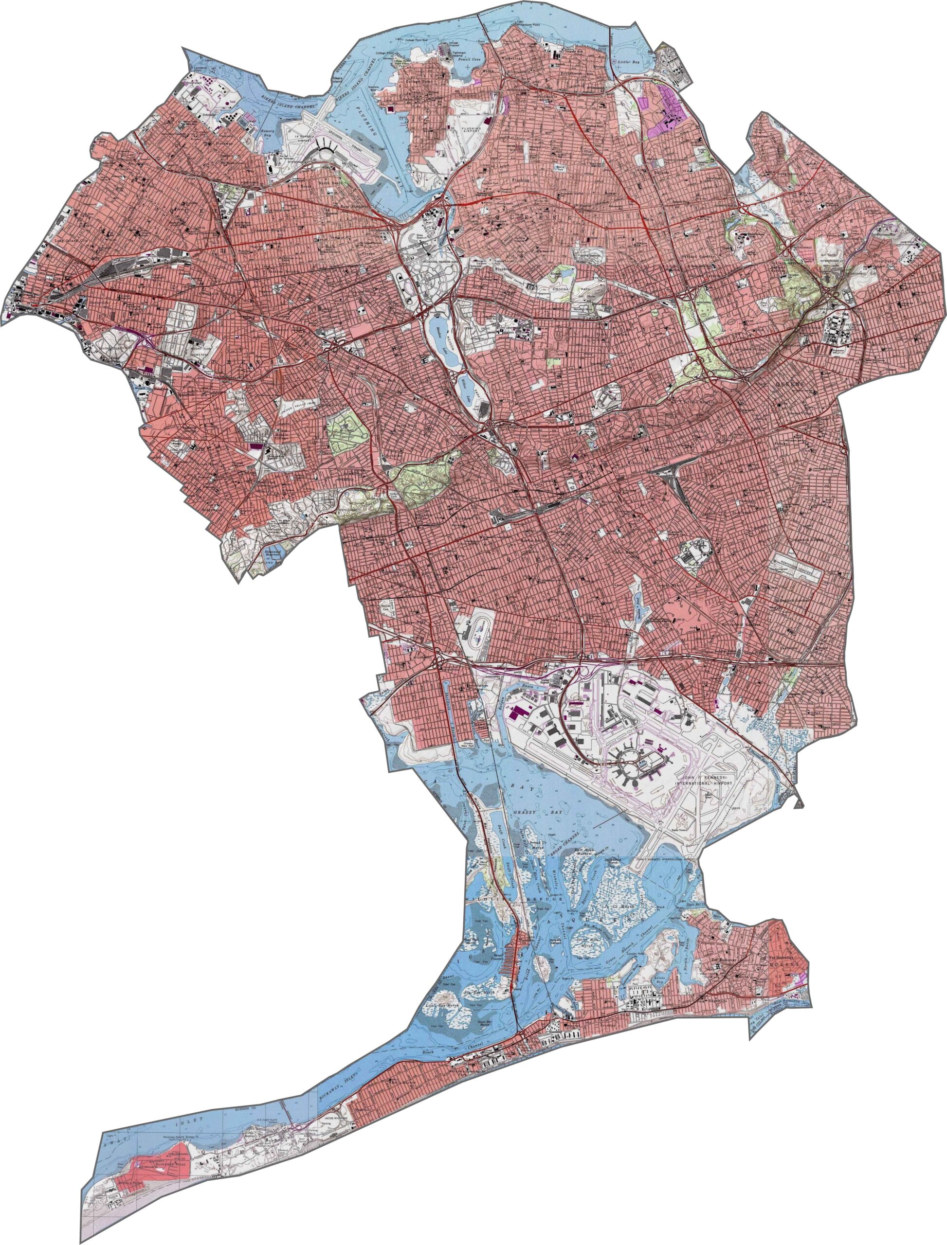
Queens County is mostly flat, with only subtle changes in elevation. It sits on a coastal plain, so the land rarely rises very high. A few hills in Forest Park and the northern neighborhoods break up the flat terrain. The shoreline adds more variety with inlets and bays. The topography may not be dramatic, but it still plays an important role in city planning.
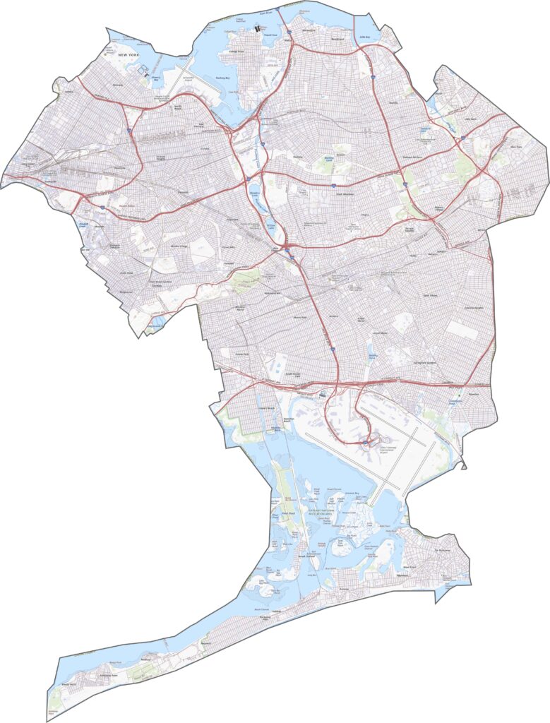
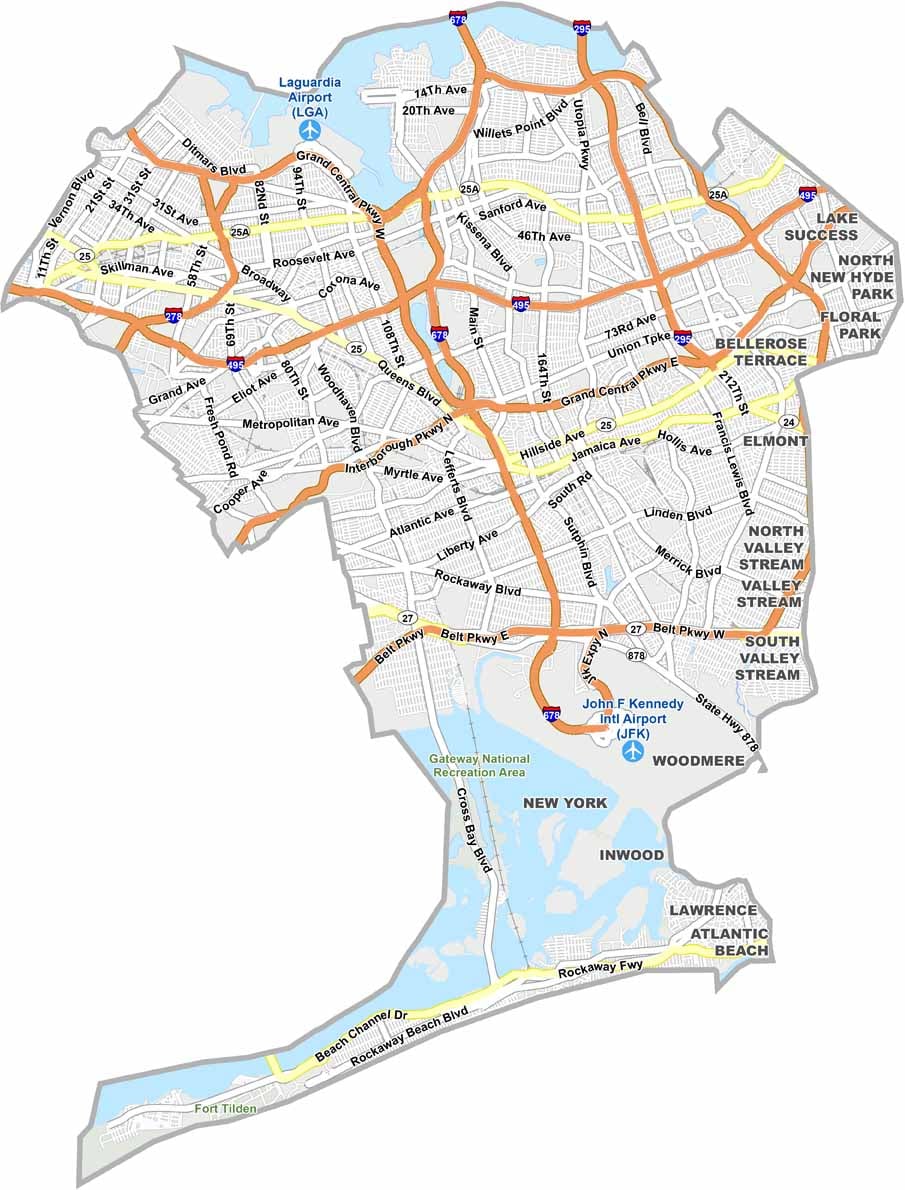
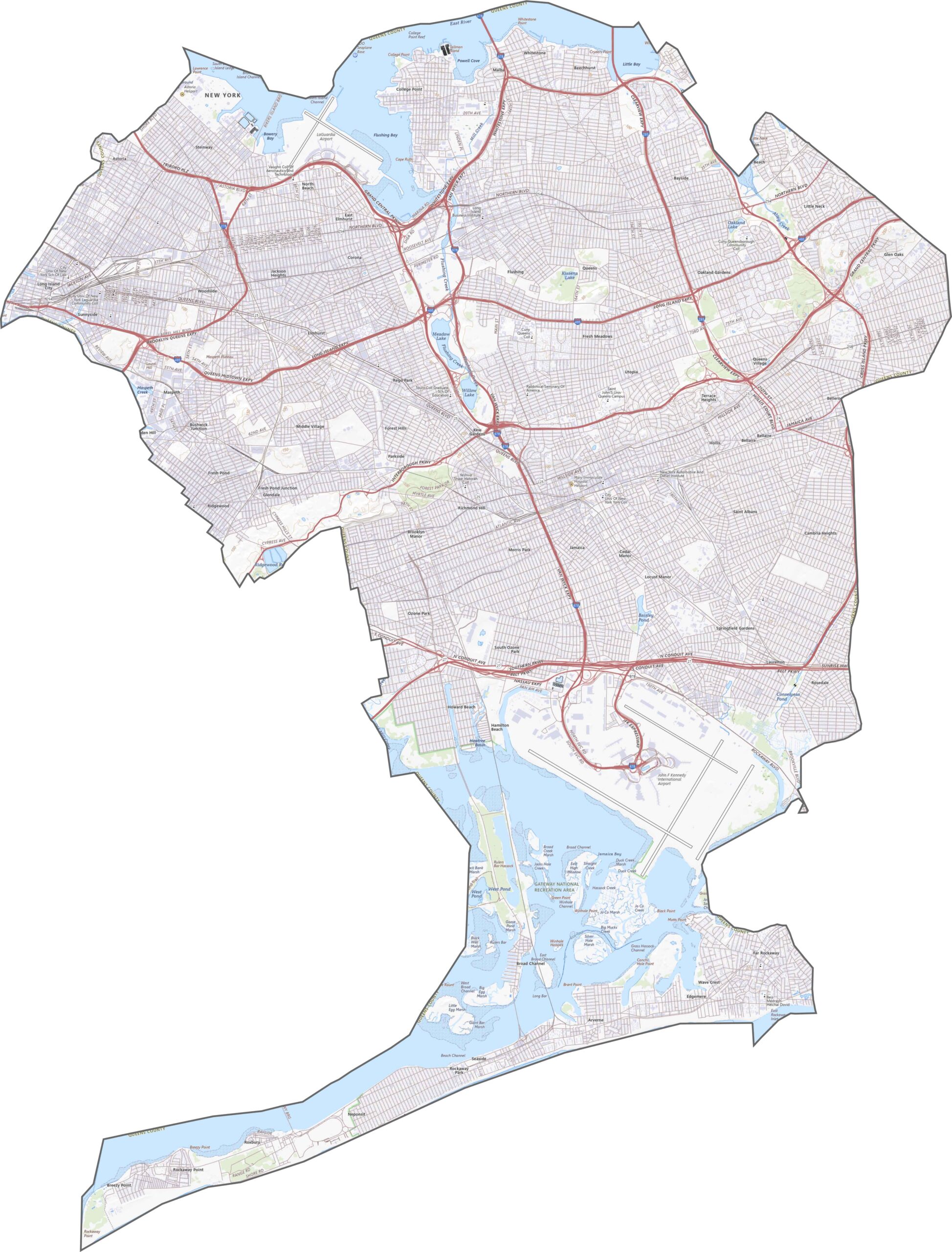
The highway network is dense throughout Queens County. The Long Island Expressway (I-495) cuts across the borough, while the Grand Central Parkway and Van Wyck Expressway (I-678) curve past major landmarks. Traffic is nearly constant, but so are the connections. Even with all those lanes and loops, our zoom tool below makes the road network easier to understand.
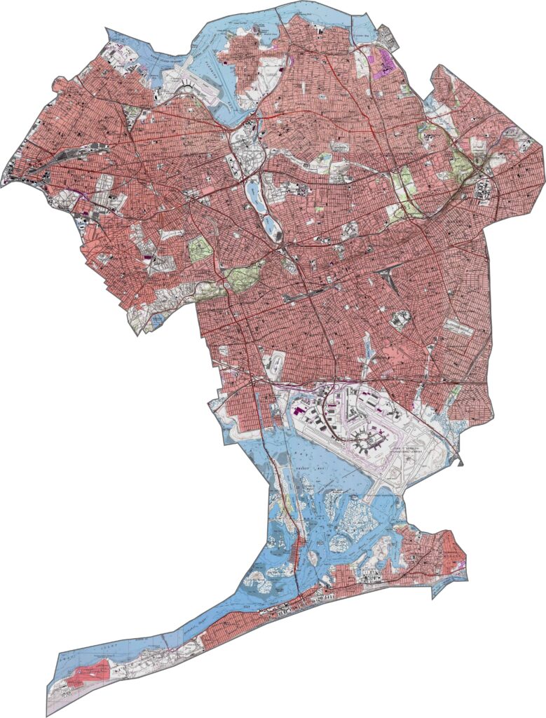
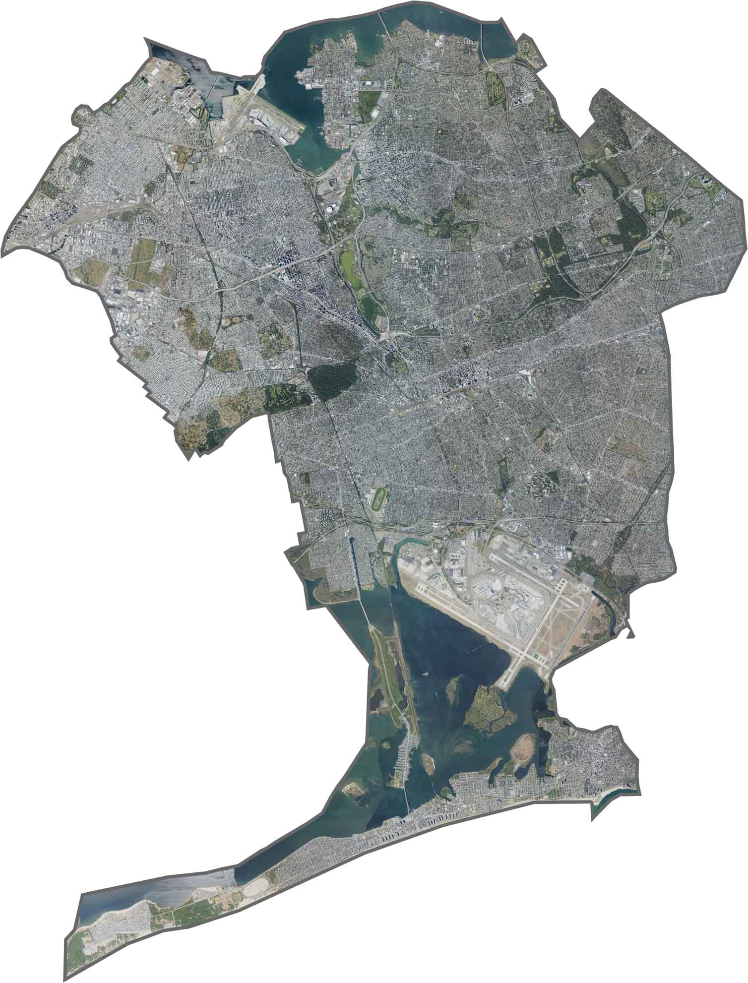
Neighborhoods are packed closely together, with block after block of streets and buildings. JFK Airport covers a large area across the south, while Flushing Meadows Park and Forest Park provide rare stretches of green space. Bays and salt marshes line parts of the southern and northeastern edges. From above, the landscape is mostly streets and rooftops, with occasional patches of greenery.
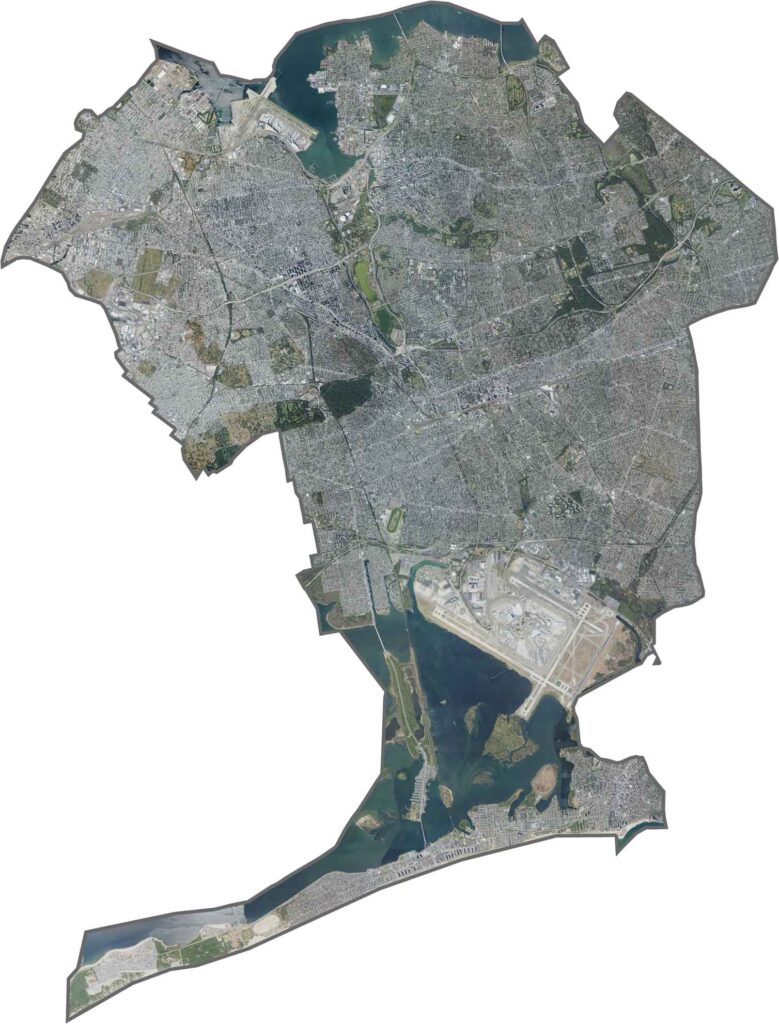
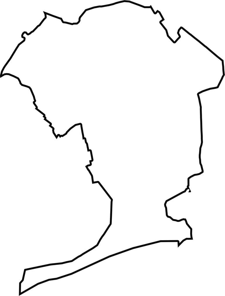
Queens County forms a jagged shape on the western end of Long Island. It wraps around Nassau County and borders the Bronx, Kings County, and Manhattan. The southern edge reaches the Atlantic, where beaches and marshland shape the coastline.








New York has 62 counties, and each one has its own personality. From the nonstop energy of Manhattan to the quiet wilderness of the Adirondacks, there’s plenty of variety to explore. And yes, we can’t forget those famous Buffalo wings. Explore our New York county maps.