
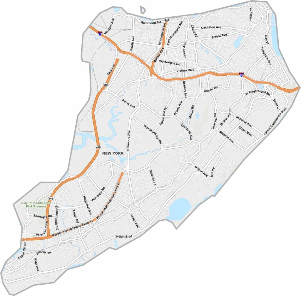
Staten Island is a whole county in New York City. Most New Yorkers know it as the “forgotten borough,” but there’s more to Richmond County than meets the eye.
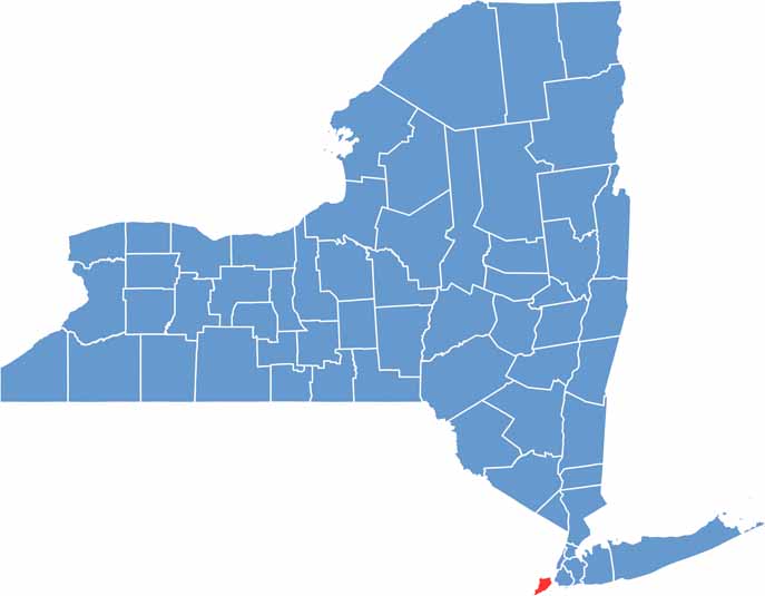
It’s the southernmost part of New York State, separated from Manhattan by the Upper Bay. Beaches line the eastern shore, while the island has a small-town feel that can seem worlds away from the rest of the city.
Green spaces are everywhere, and the food scene is especially strong when it comes to Italian cuisine. Locals get around on the free Staten Island Ferry, while the island is also more car-friendly than most of NYC. Richmond County is definitely more than just a ferry ride.
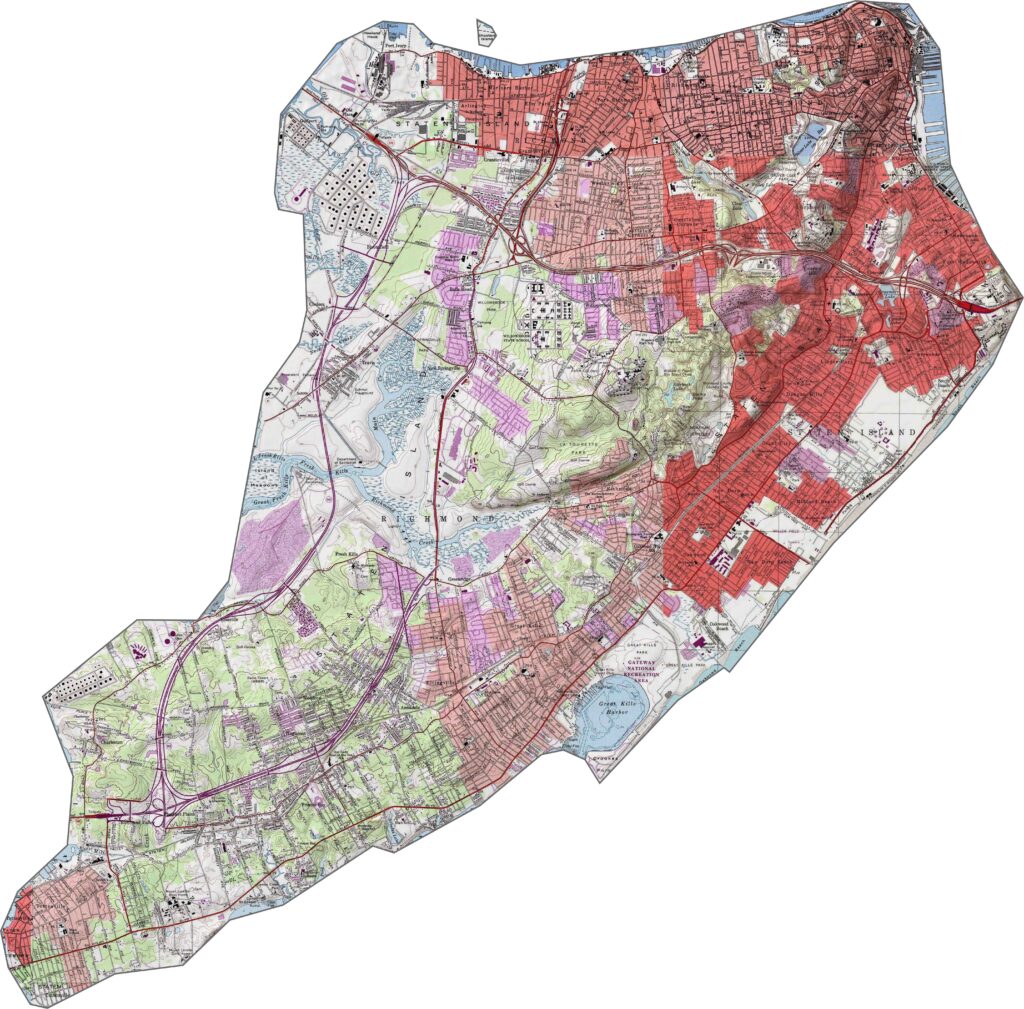
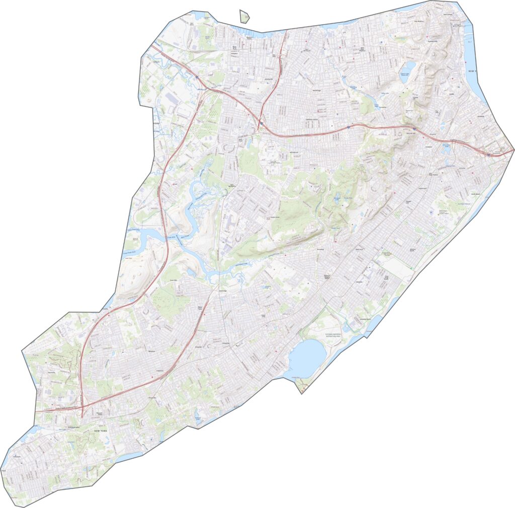
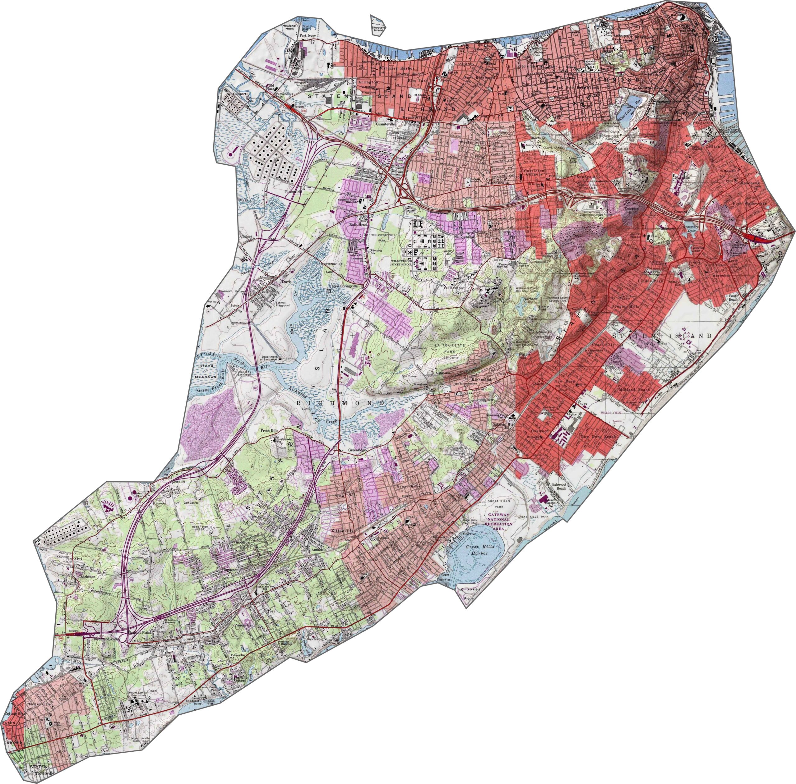
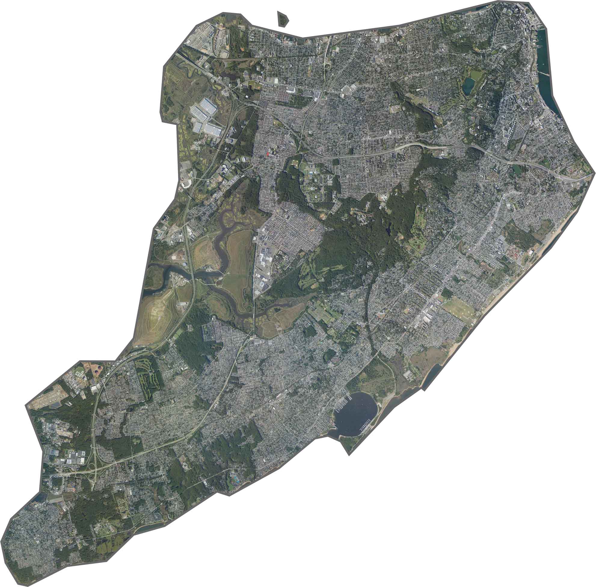
Staten Island has more hills than you might expect. The Staten Island Greenbelt includes Todt Hill, one of the highest points in New York City. Slopes run north to south along the island’s central spine, while marshes and flatter areas stretch around the edges. It’s a compact island, but the terrain has plenty of variety.
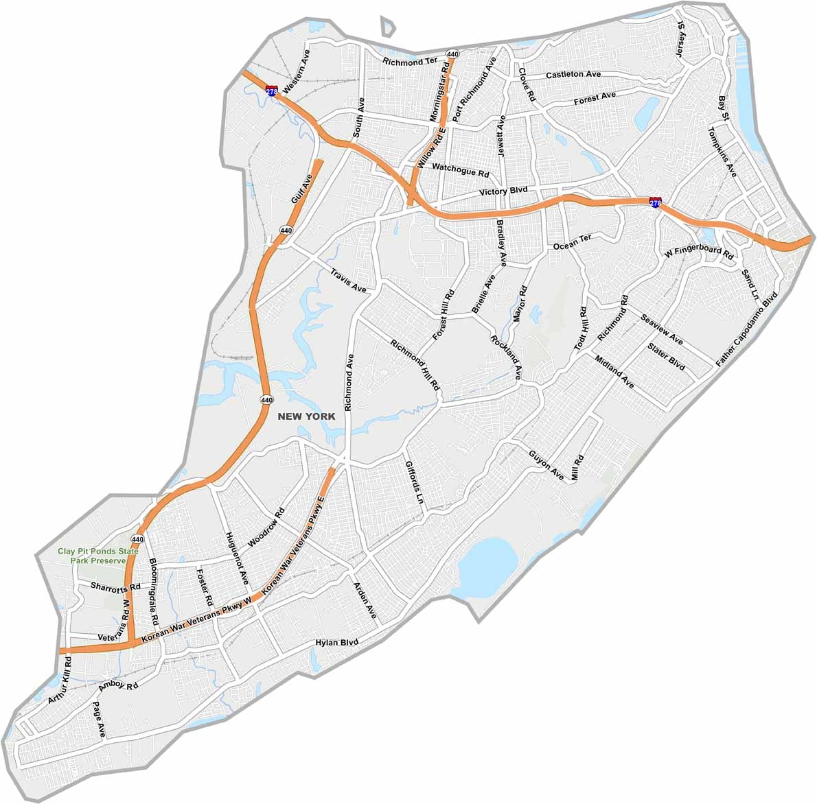
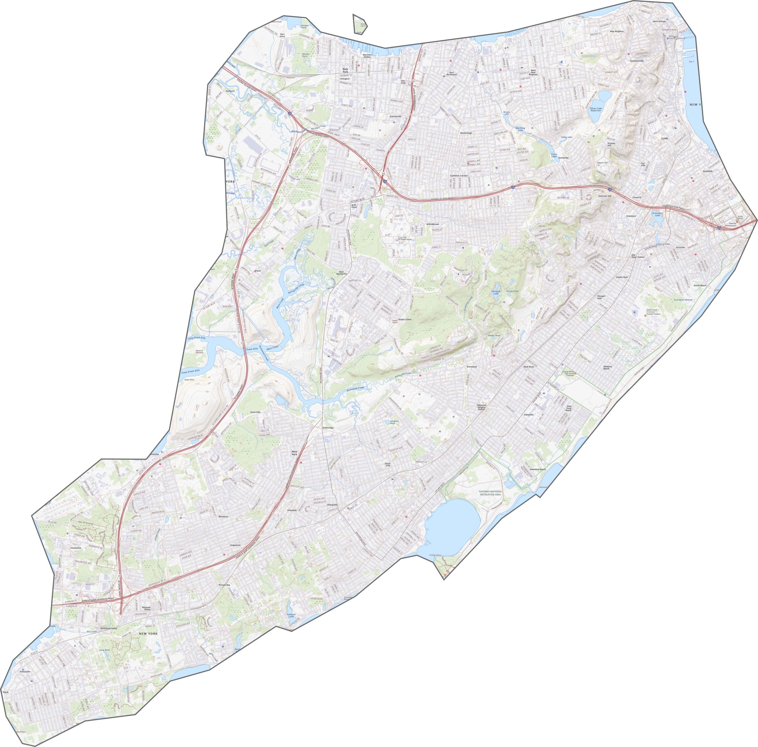
The Staten Island Expressway (I-278) runs east to west across the center of the island. NY-440 connects through the Outerbridge Crossing. Despite being an island, Richmond County has a busy road network. Some routes stay quiet near the Greenbelt, while others see constant traffic. Zoom in to explore how the bridges connect the island.
Richmond County is heavily developed, with urban and suburban areas covering much of the island. Green spaces such as the Greenbelt and Staten Island Zoo break up the development, while industrial areas line the western shore. The Staten Island Ferry Terminal and nearby neighborhoods create dense blocks in the northeast. From above, it’s a clear mix of nature, industry, and residential areas.
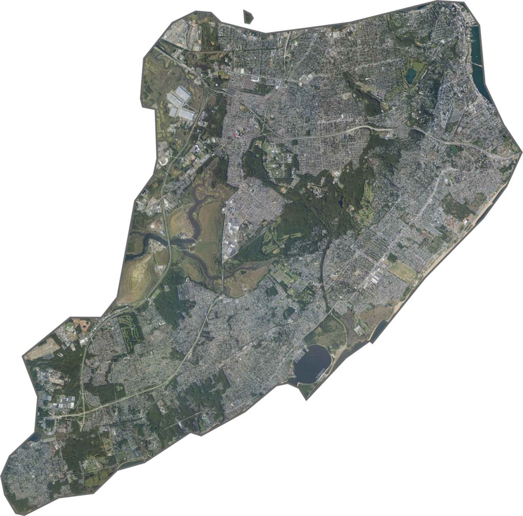
Richmond County has a sideways teardrop shape. Water surrounds the island, so there are no land borders. New Jersey is the closest neighboring state, with bridges crossing the Arthur Kill. The outline curves around bay inlets and widens along the southern shore.









New York has 62 counties, and each one has its own personality. From the nonstop energy of Manhattan to the quiet wilderness of the Adirondacks, there’s plenty of variety to explore. And yes, we can’t forget those famous Buffalo wings. Explore our New York county maps.