
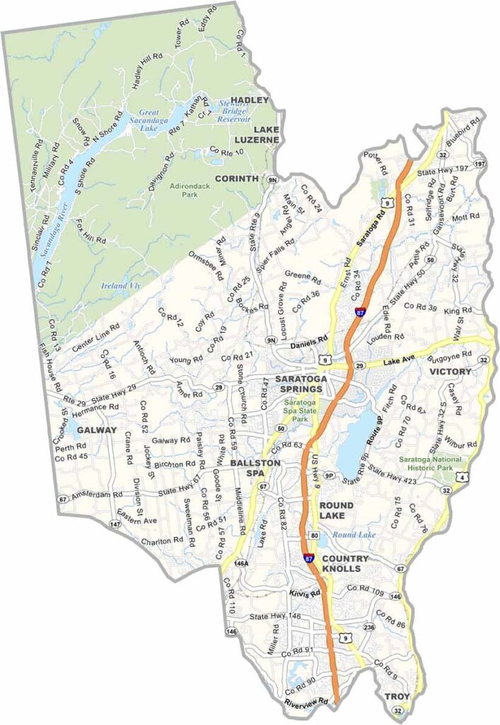
Saratoga County is located in eastern New York, just north of Albany. It’s a place where history and horses come together. The Saratoga Race Course is a major attraction and is recognized as the oldest sports venue in the United States.
But there’s more here than horse racing. The county is known for its mineral springs around Saratoga Springs. People once believed the water could cure almost anything. Today, it’s simply a relaxing place to enjoy a soak.
Saratoga Lake is perfect for a summer day, with opportunities for fishing, boating, and more. The area also has an interesting Revolutionary War history, while the fall colors can be spectacular. Saratoga County has something to offer year-round.
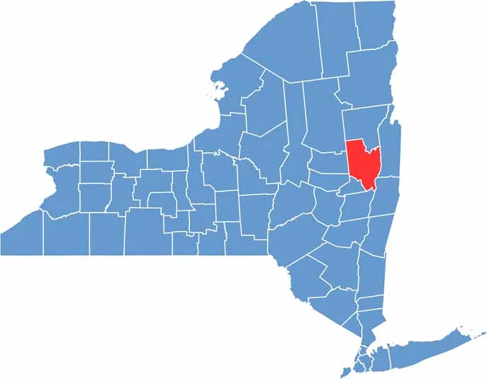
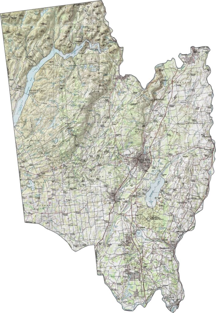
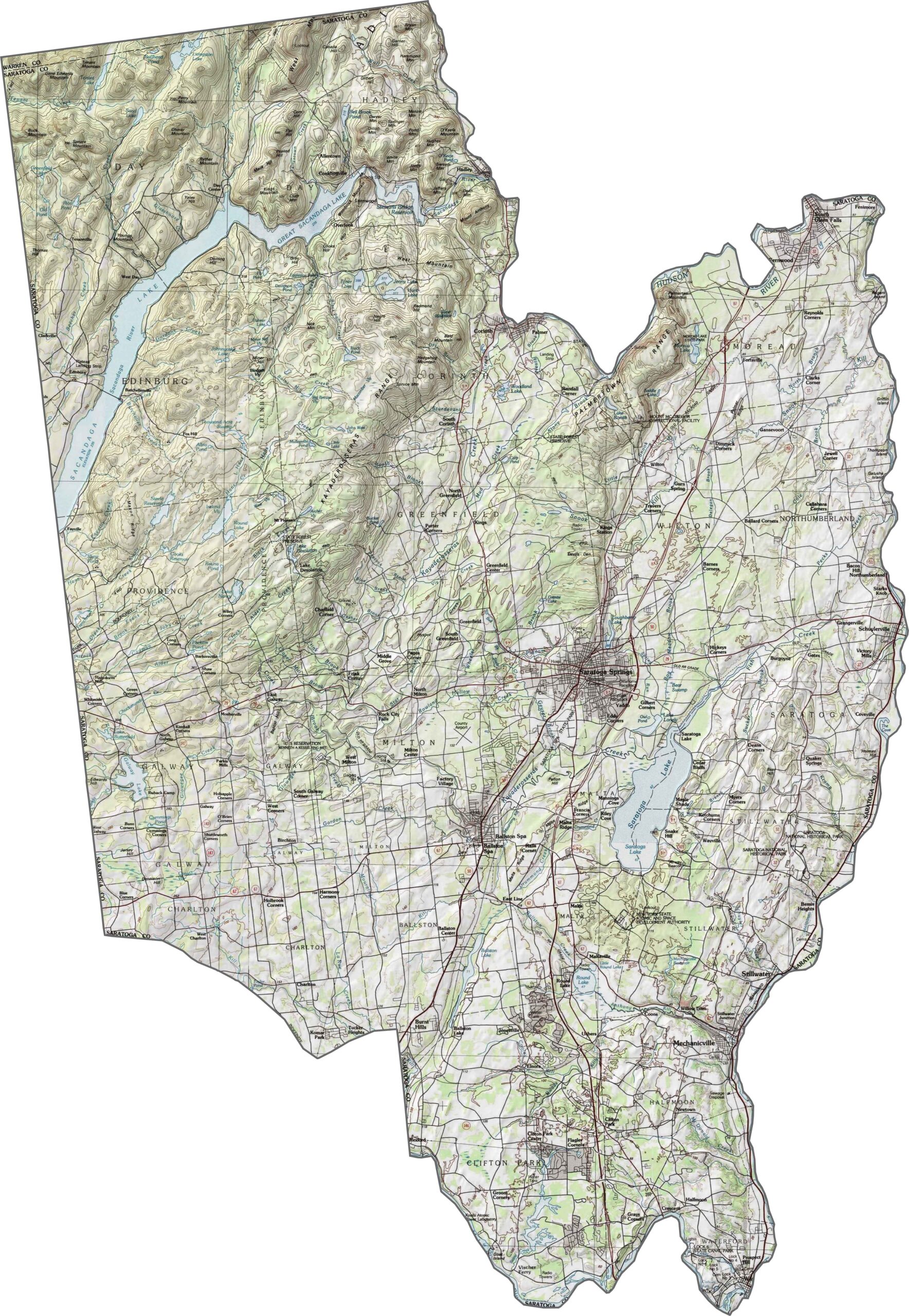
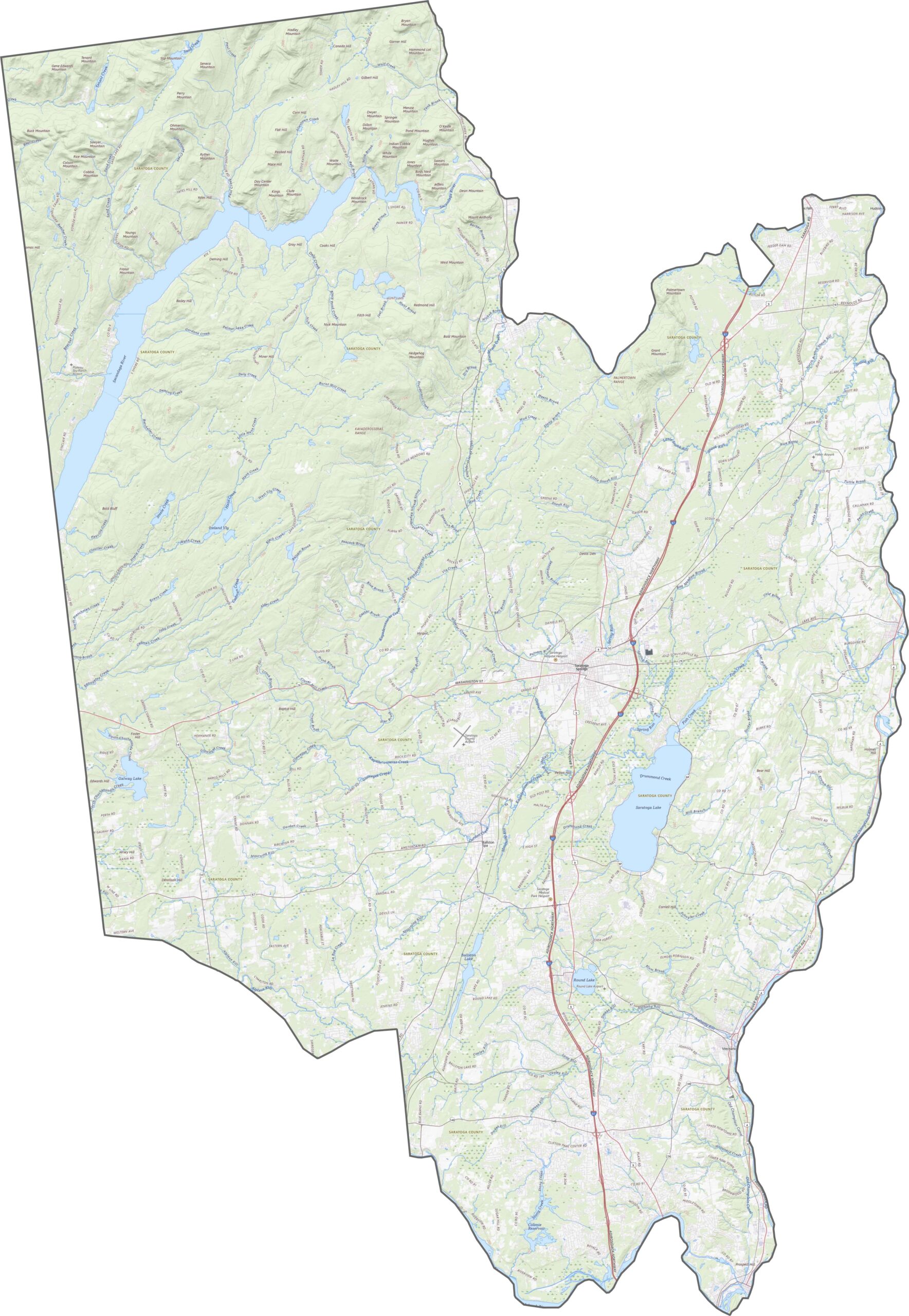
The landscape of Saratoga County is a mix of lowlands and rising foothills. The Hudson River creates flatter terrain in the east, while the Adirondack foothills ripple across the northwest. Saratoga Lake sits in a broad basin, and although the county isn’t mountainous, elevation gradually increases toward the west. Overall, it’s a landscape of gentle contours and changing slopes.
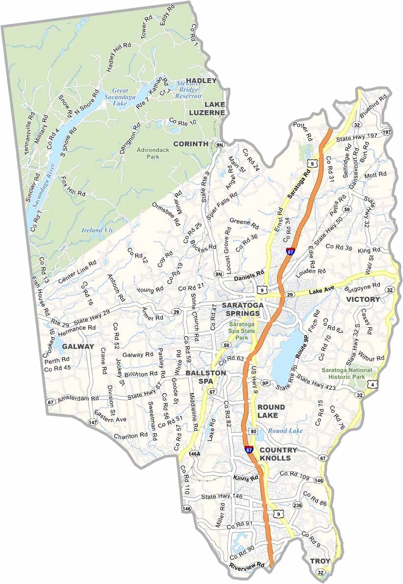
I-87 runs straight through the county from south to north. NY-29 and US-9 also cross the area, connecting towns such as Saratoga Springs. Roads provide good access even in the more rural sections, although routes near the lakes often curve along the shorelines. Use our zoom tool to follow all the twists and turns.
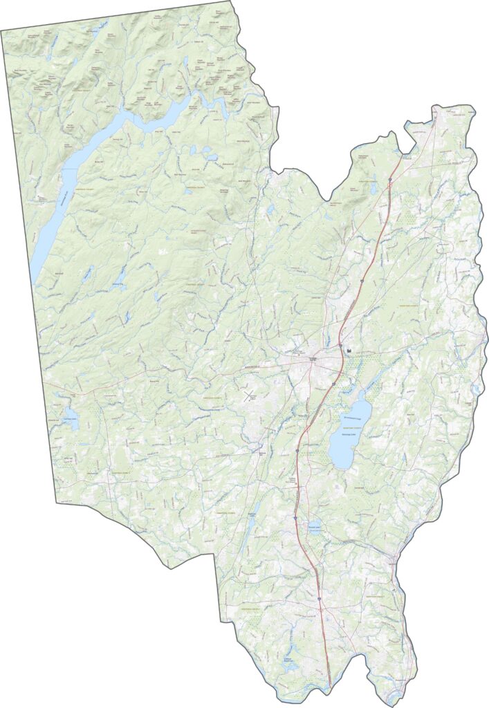
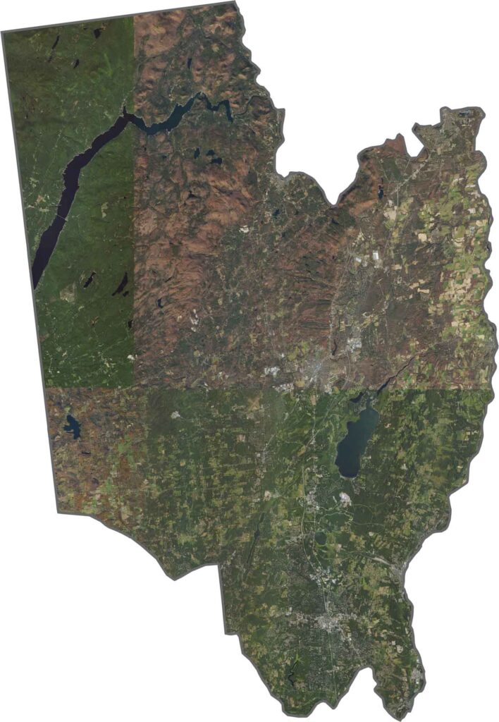
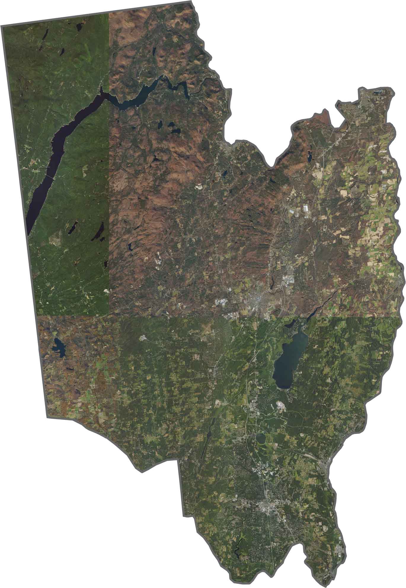
Saratoga Springs stands out with its street grids and golf courses. Beyond the city, forests and fields stretch in every direction, while Saratoga Lake is easy to spot near the center. Farther west, the landscape becomes darker and more heavily wooded, with fewer towns. From above, the scenery shifts quickly between developed and open areas.
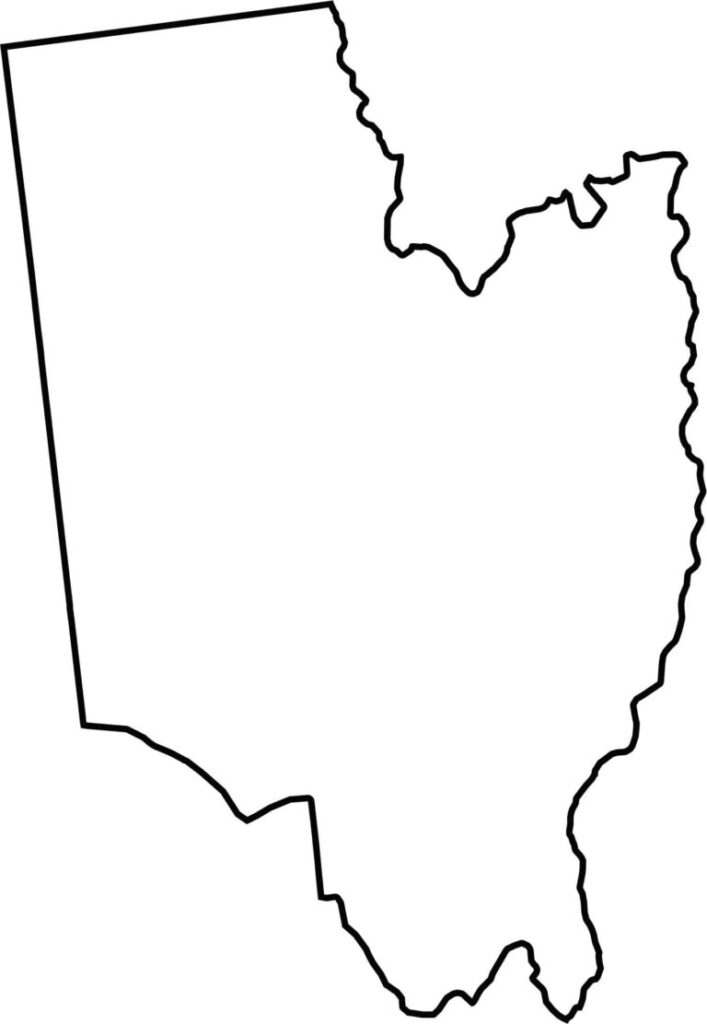
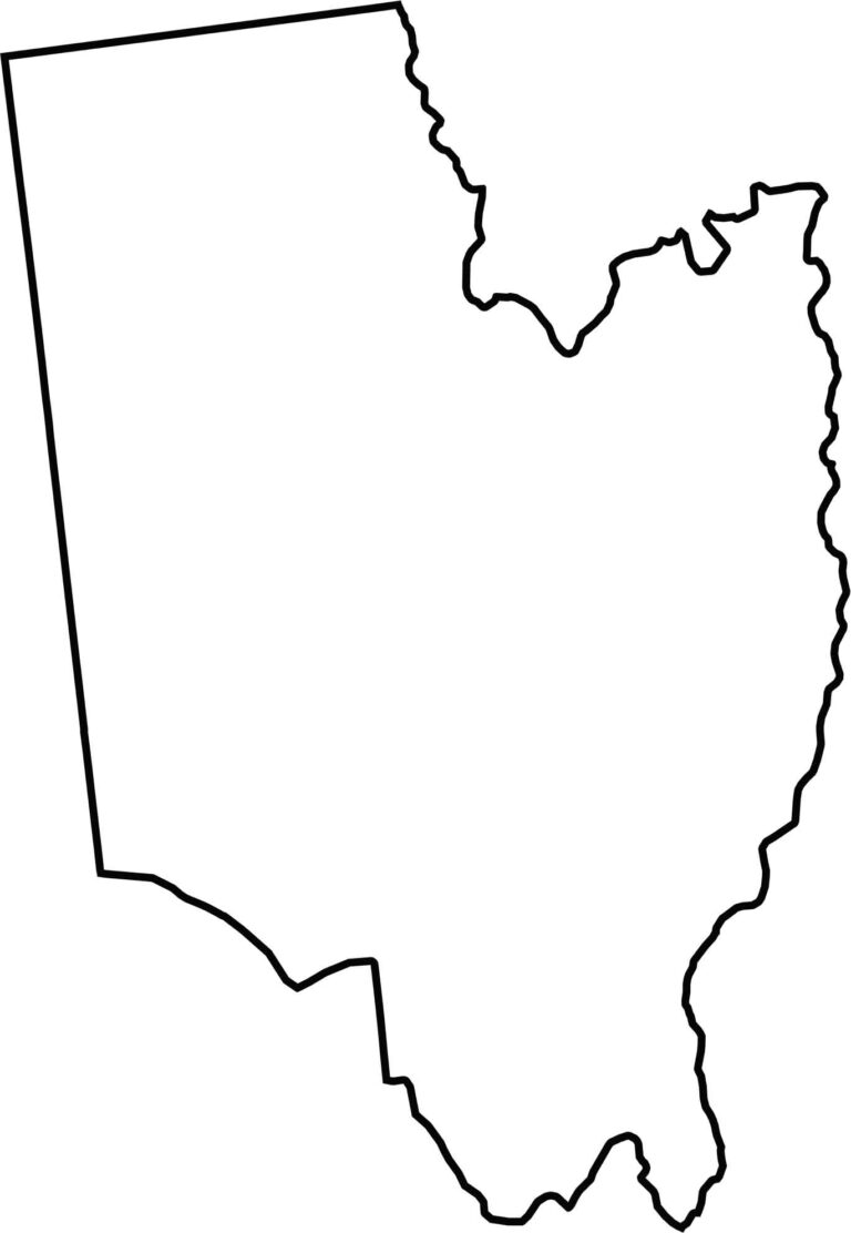
Saratoga County has a wide, somewhat rectangular shape, although its edges become uneven around river bends and lake contours. The Hudson River runs along much of its eastern border. The county does not border another state, though Vermont is nearby to the east.







New York has 62 counties, and each one has its own personality. From the nonstop energy of Manhattan to the quiet wilderness of the Adirondacks, there’s plenty of variety to explore. And yes, we can’t forget those famous Buffalo wings. Explore our New York county maps.