
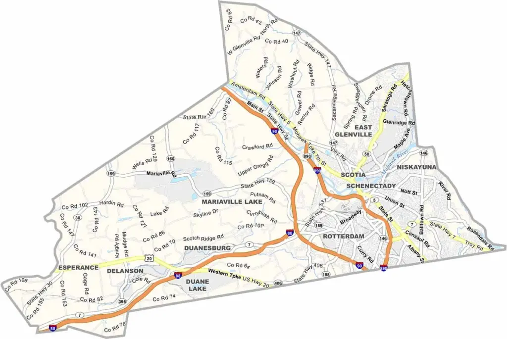
Schenectady County sits in the heart of New York’s Capital Region and has an interesting mix of urban and rural areas. Schenectady is the main city, with a fascinating history as an industrial powerhouse. Ever heard of General Electric? It got its start right here.
The county isn’t all about the past, though. A growing tech scene is bringing new energy to the area, while Union College adds a college-town feel to parts of Schenectady. Proctors Theatre is another popular attraction for catching shows and performances.
The Mohawk River runs through the county, offering scenic views and plenty of recreation opportunities. Outdoor enthusiasts enjoy the Indian Ladder Trail in Plotter Kill Preserve, while the Central Park Rose Garden is especially beautiful when it’s in full bloom.
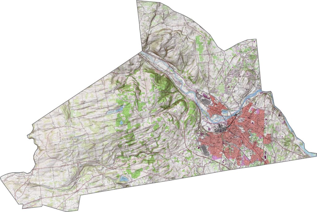
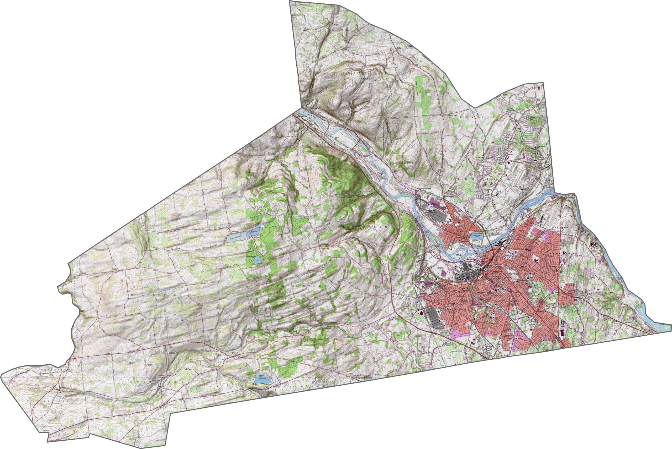
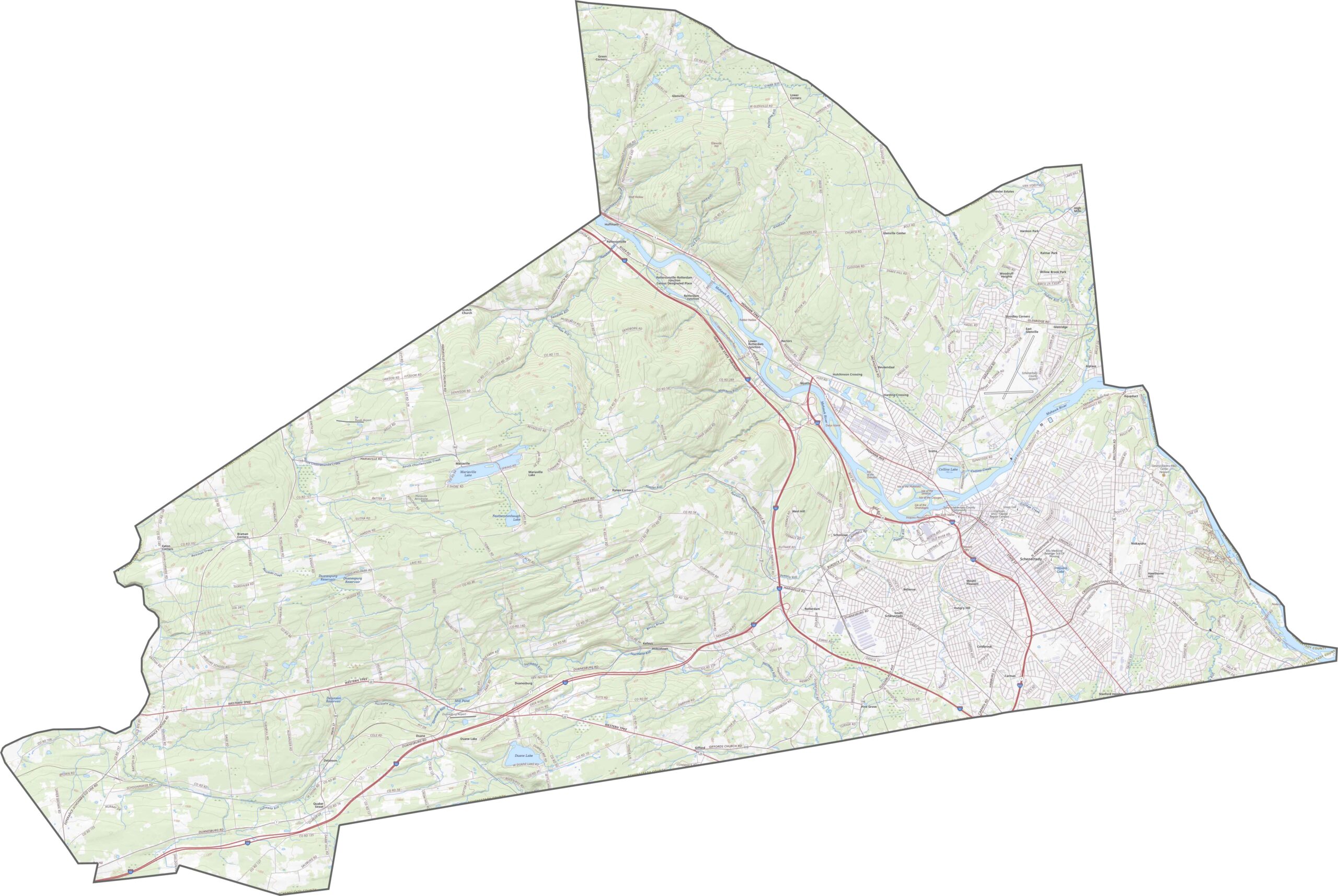
The Mohawk River cuts through the center, creating a low valley. The land rises gently to the north and south of the river. Hills in the west are wooded and uneven, but they’re not especially steep. The eastern half is flatter.
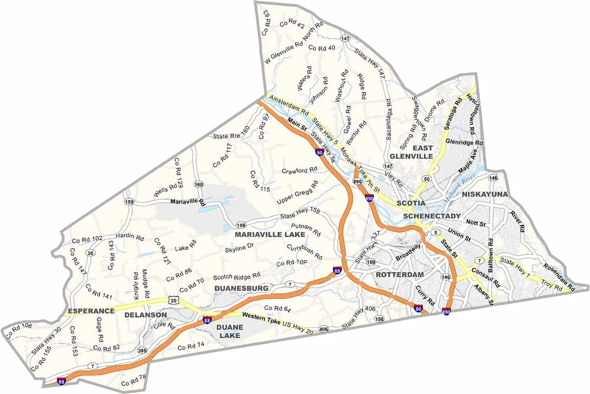
I-890 loops through the heart of Schenectady, connecting with I-90 at both ends. NY-5 runs alongside the Mohawk River. Although it’s a smaller county, the road connections are solid. Some rural routes still wind through the wooded hills, though. Try zooming in on our road map below.
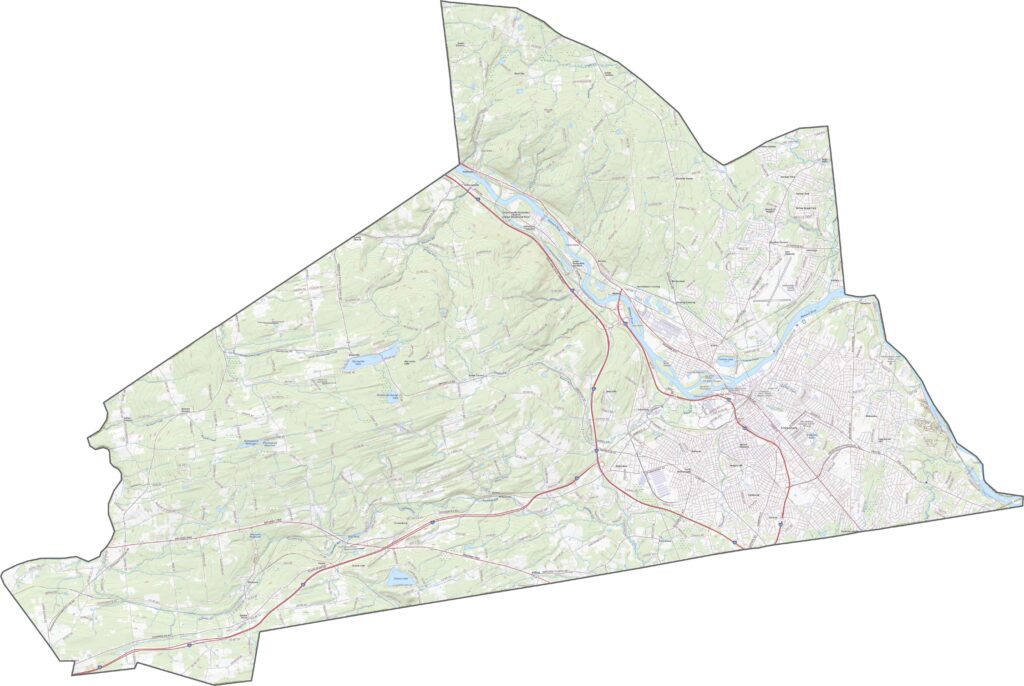
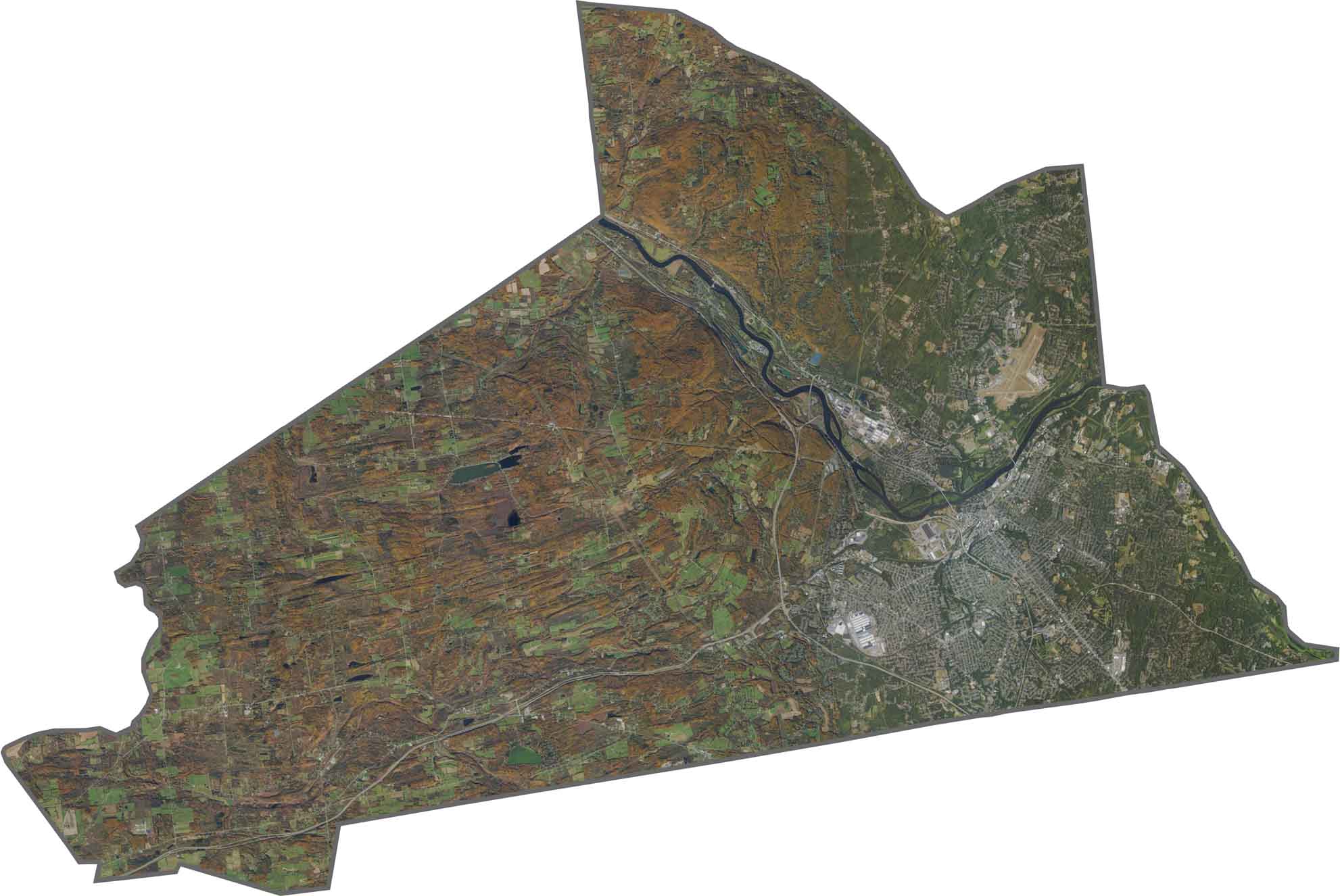
Urban development is concentrated around Schenectady city. The river cuts through the scene, standing out as a dark blue line. Farther out, the landscape turns green again. More farmland appears to the west, while forests become more common toward the north.
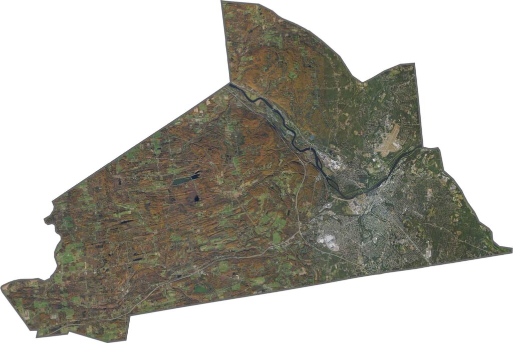
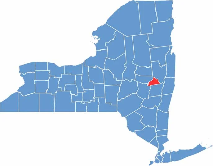
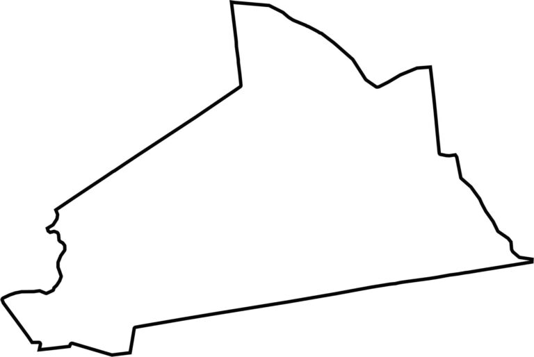
Schenectady County is compact and almost triangular in shape. Its western and eastern edges curve with the river. Albany County borders it to the east, while Montgomery County lies to the west.








New York has 62 counties, and each one has its own personality. From the nonstop energy of Manhattan to the quiet wilderness of the Adirondacks, there’s plenty of variety to explore. And yes, we can’t forget those famous Buffalo wings. Explore our New York county maps.