
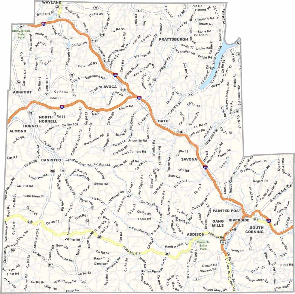
Steuben County is located in New York’s Southern Tier and is one of the state’s larger counties by area. The landscape features a mix of steep hills and winding river valleys.
The Cohocton and Canisteo rivers wind through the county. Corning serves as the county seat and is well known for its glassmaking heritage. The Corning Museum of Glass is a must-see, featuring everything from ancient Egyptian artifacts to modern art installations.
Steuben County is also part of wine country. The hills around Keuka Lake are covered with vineyards, while hiking, fishing, and hunting attract plenty of visitors. The fall foliage is spectacular, and Pinnacle State Park is another popular destination.
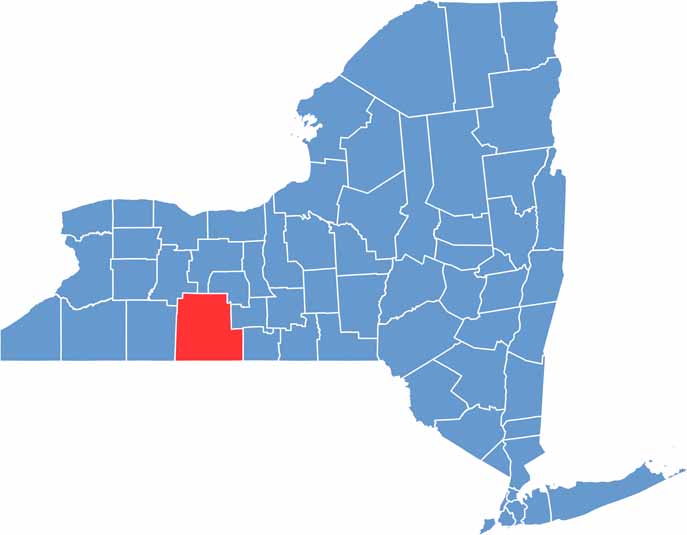
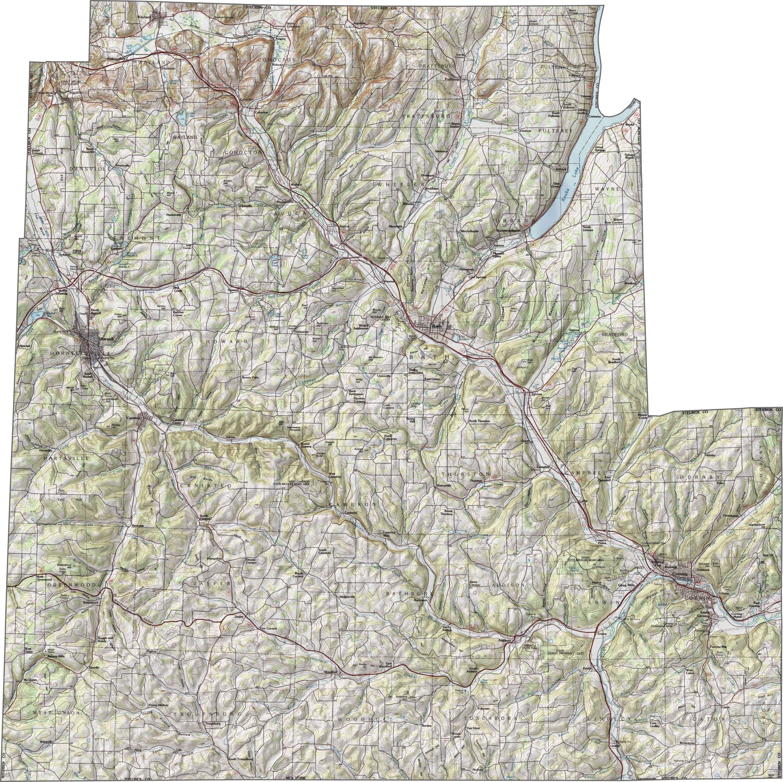
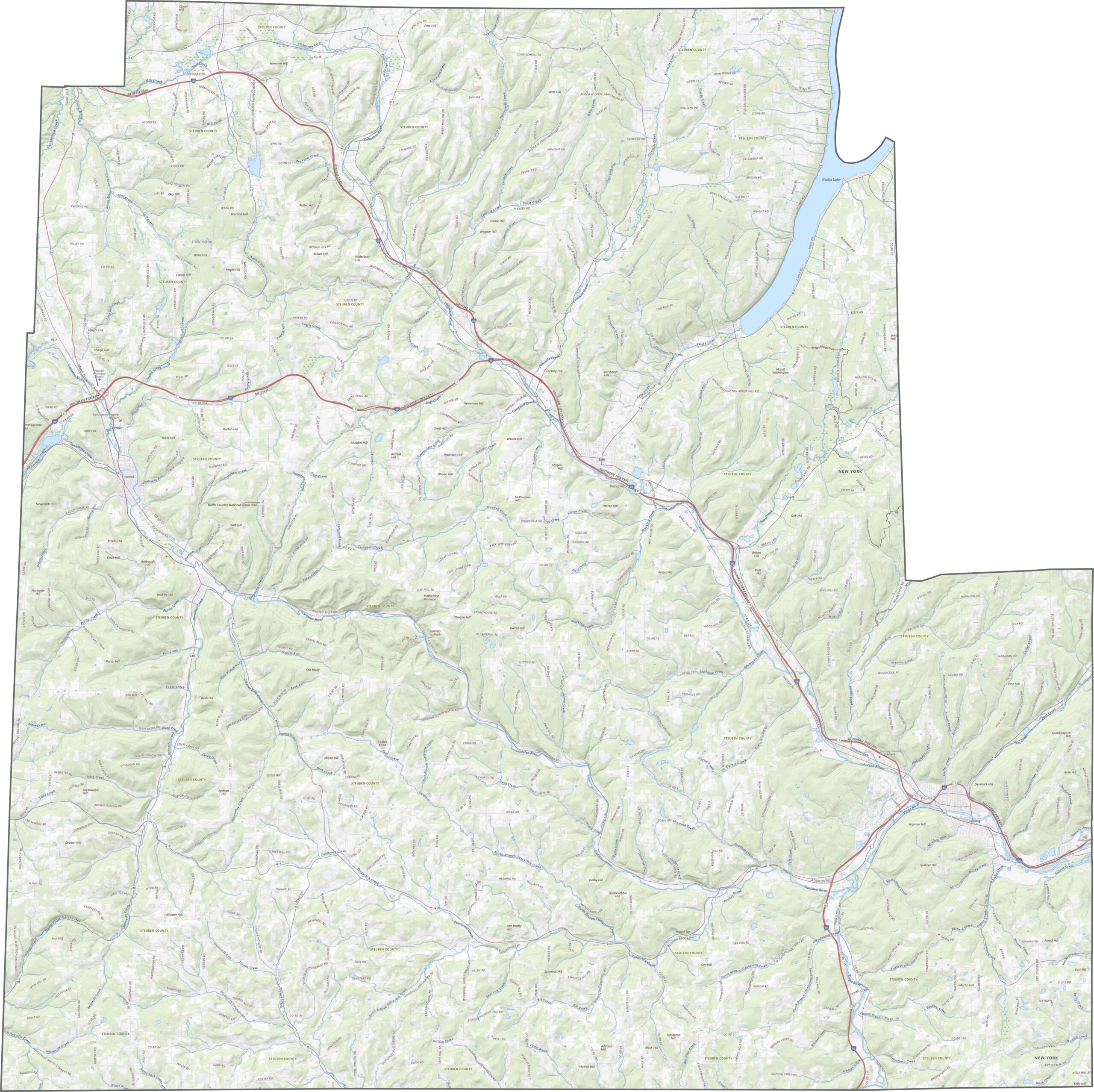
This is hill country, no question about it. Steuben County is filled with deep valleys and forest-covered ridges. The Canisteo and Cohocton rivers wind through the hills, while the elevation rises and falls from one slope to another. There’s hardly a flat spot in sight.
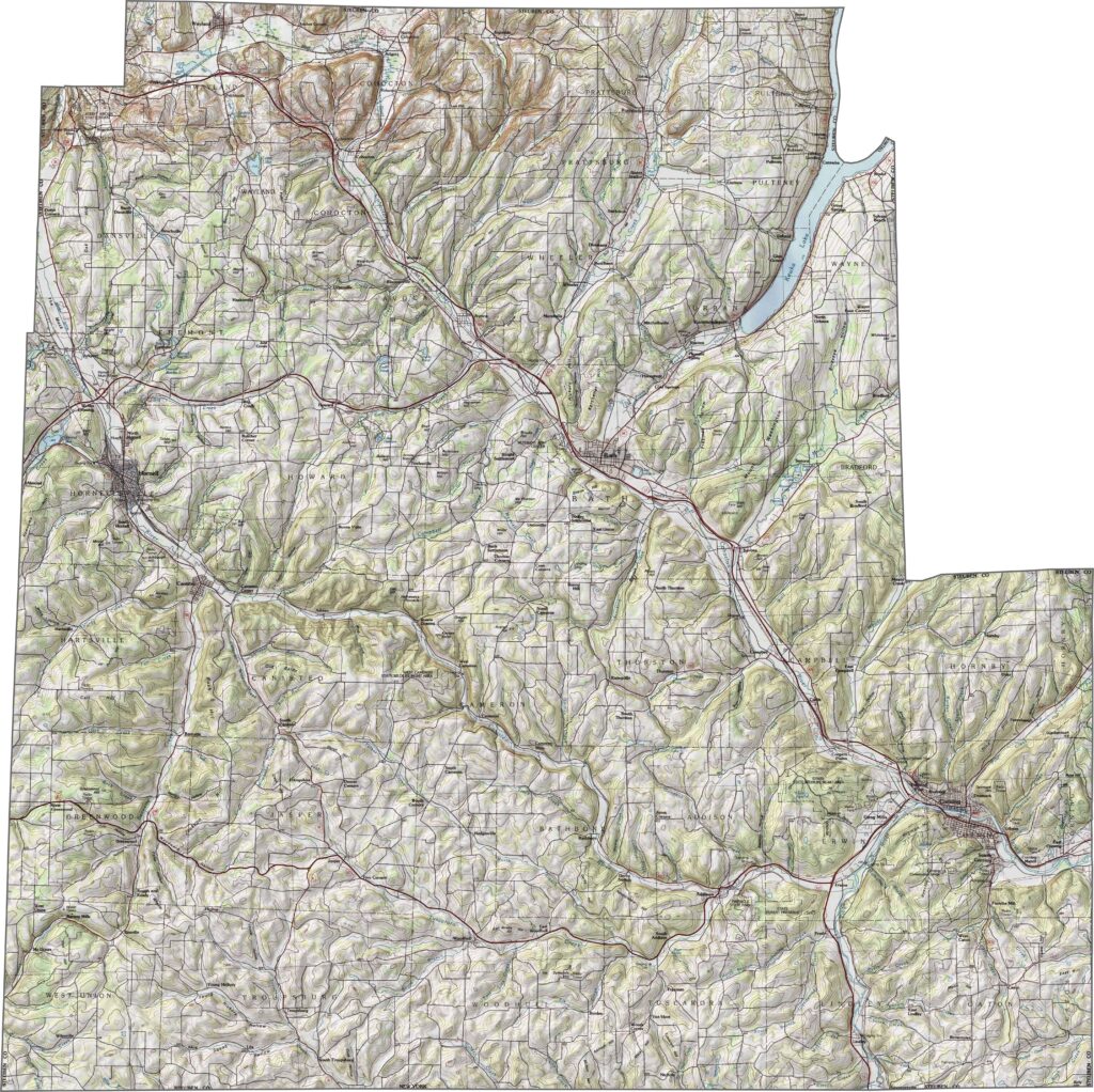
I-86 (Southern Tier Expressway) runs east to west across the county, while US Route 15 enters from the south near Corning. Major highways provide good connections, but many smaller roads still follow the natural twists of the landscape. Hills and valleys often determine the route. Zoom in to follow the roads as they wind along the ridges.
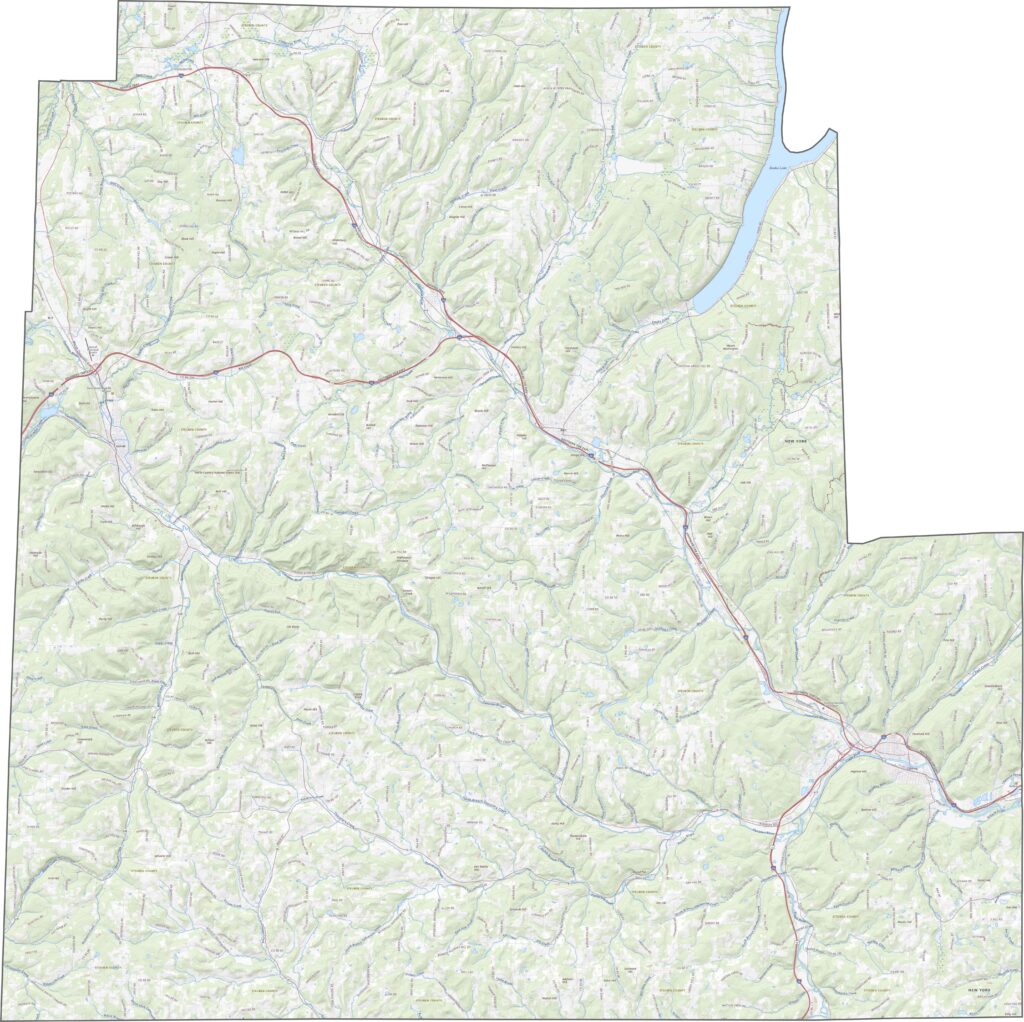
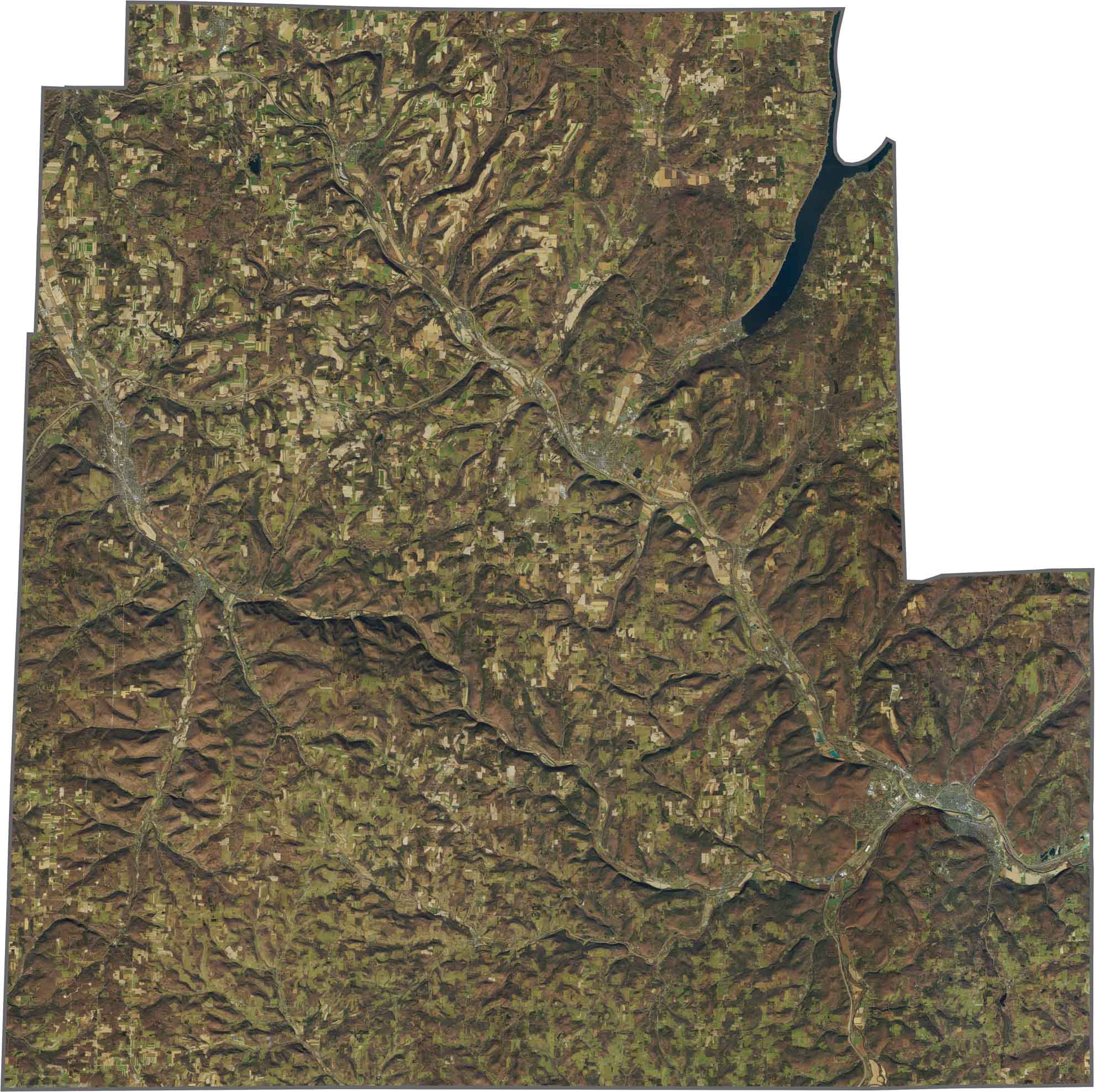
Corning and Hornell stand out as the main urban areas, but forests cover most of the space between them. And that’s a lot of forest. Roads wind through the hills, while some valleys open into long stretches of farmland. From above, the landscape shows a clear pattern of green ridges, cleared fields, and narrow towns.
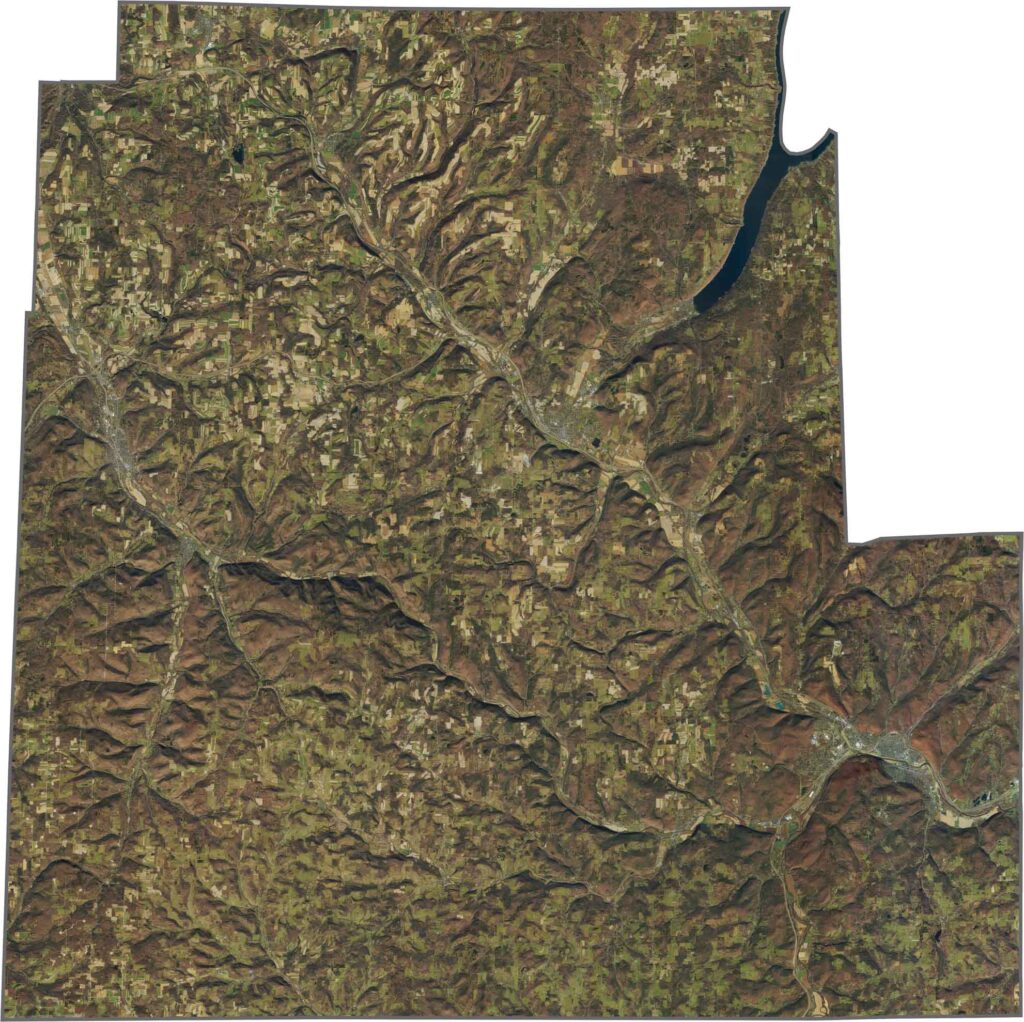
Steuben County has a jagged, uneven outline. It borders Pennsylvania along its southern edge. Other than that, the county is surrounded only by other New York counties.










New York has 62 counties, and each one has its own personality. From the nonstop energy of Manhattan to the quiet wilderness of the Adirondacks, there’s plenty of variety to explore. And yes, we can’t forget those famous Buffalo wings. Explore our New York county maps.