
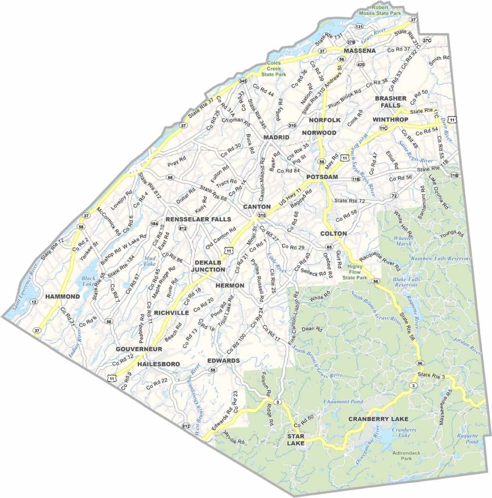
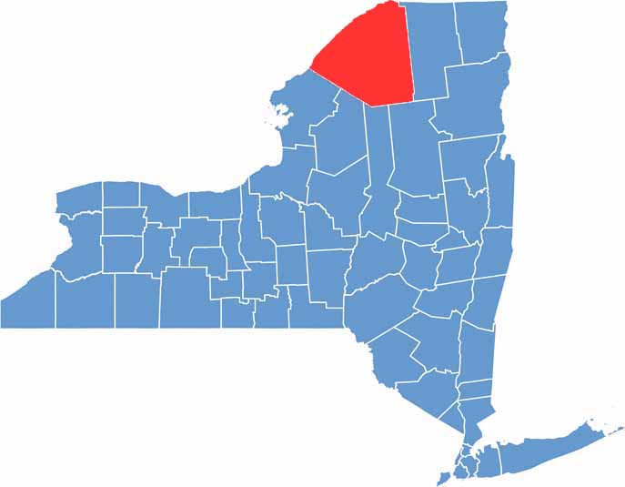
St. Lawrence County sits in New York’s North Country and is enormous. In fact, it’s the largest county in New York State outside of New York City. The mighty St. Lawrence River forms its northwestern border with Canada.
This place is a paradise for nature lovers, with rolling farmland, dense forests, and the stunning Adirondack Mountains. Winters can be seriously cold and snowy, but locals embrace the weather. Summers are all about enjoying the river and exploring the hiking trails.
The county is home to several colleges, including Clarkson University. Attractions such as the Frederic Remington Art Museum draw visitors, while agriculture remains a major industry, especially dairy farming. St. Lawrence County is where New York State truly gets wild.
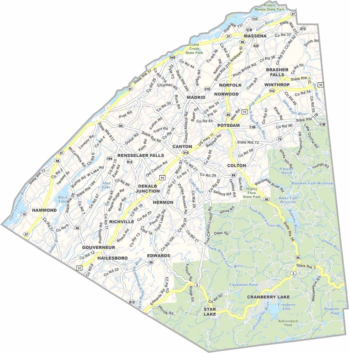
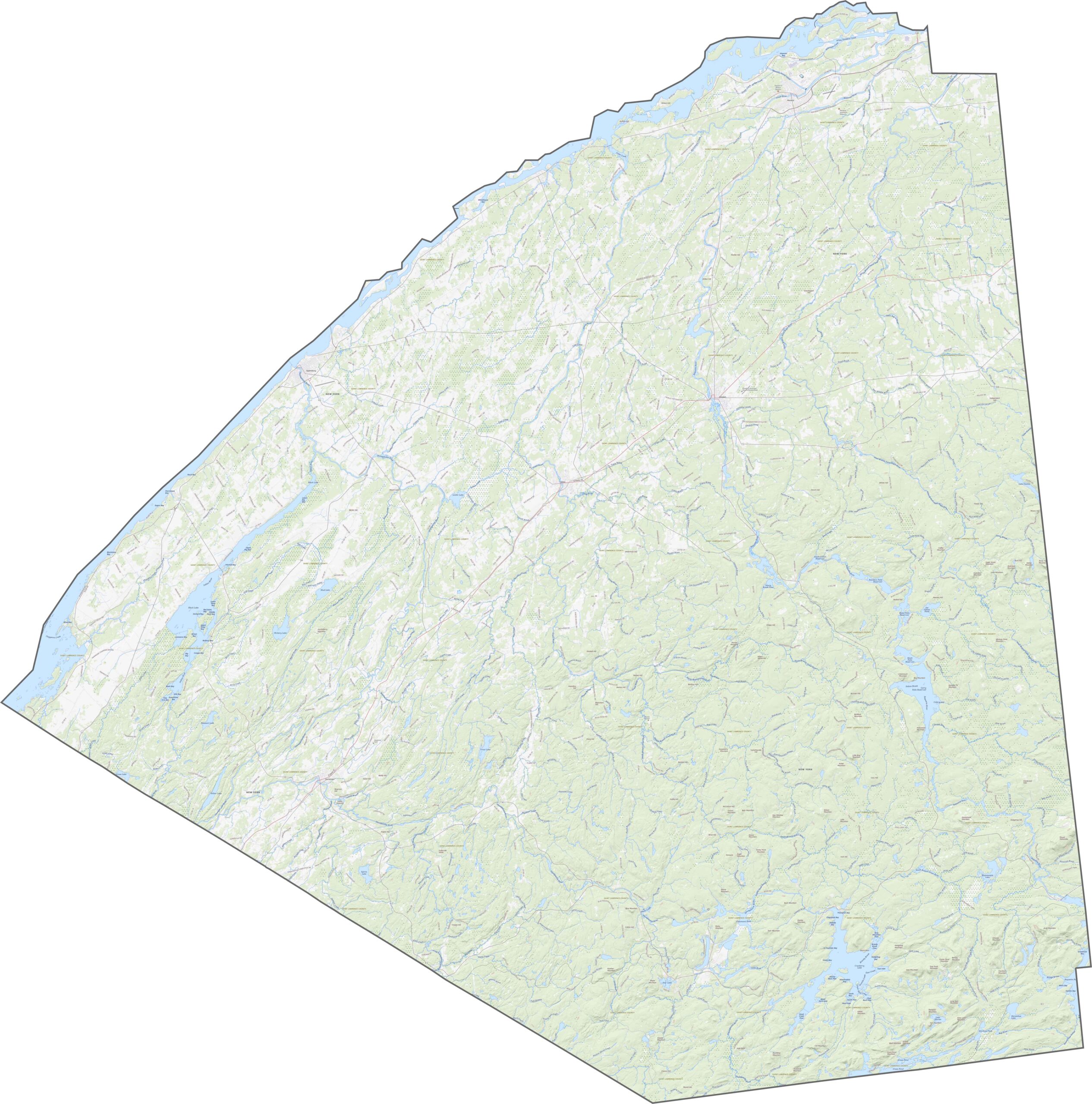
Even though it’s the largest county in New York, its highways are surprisingly spread out. US-11 runs east to west across the county, while NY-37 follows the Canadian border and roughly parallels the St. Lawrence River. Routes such as NY-3 head south through forests and farmland, often twisting with the terrain. The county is huge, so our zoom tool below comes in handy.
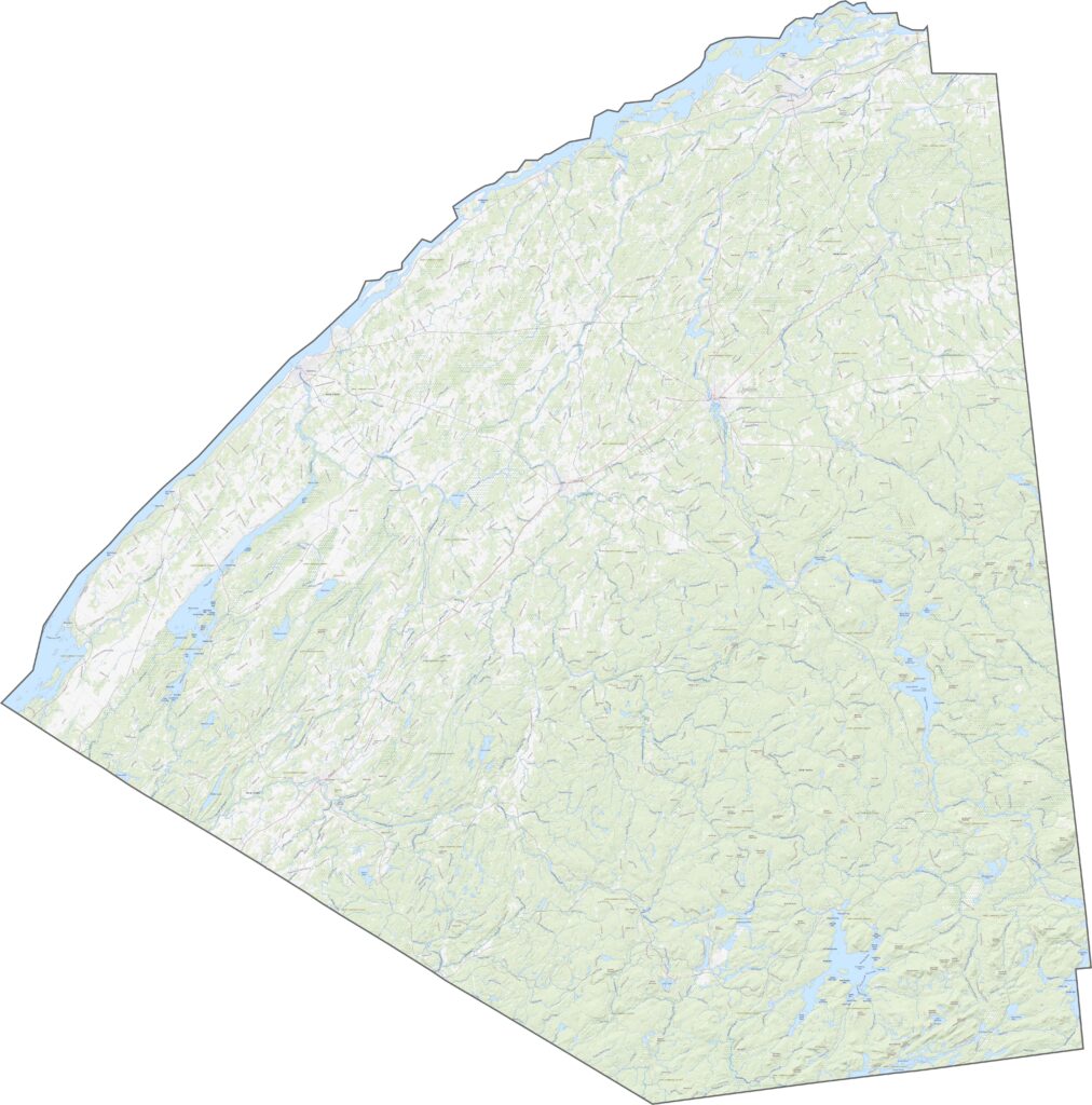
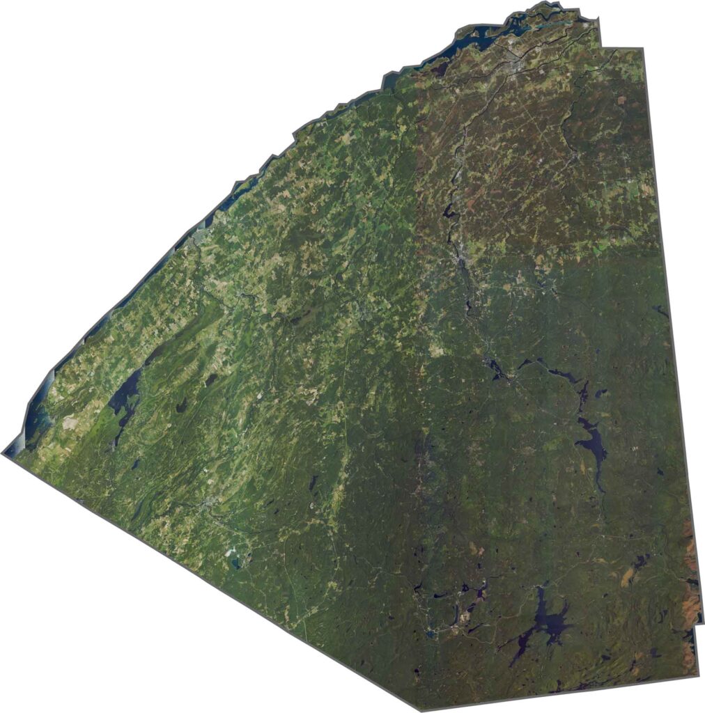
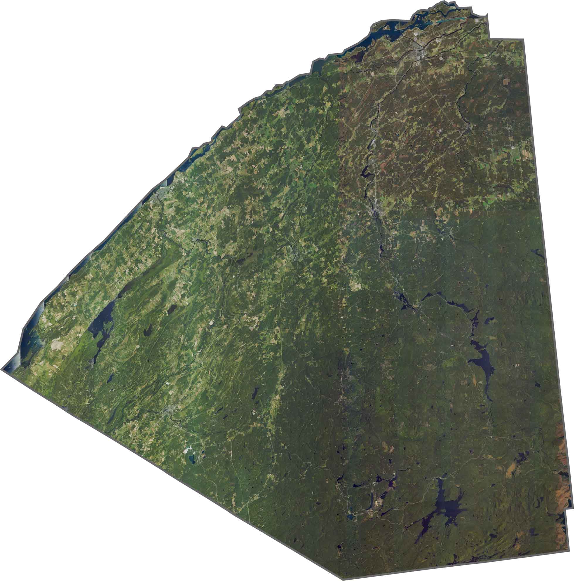
From above, St. Lawrence County appears mostly green. Forests cover much of the southern half, especially around the Adirondacks. In the north, the river and its lakes stand out across the landscape. Small towns are scattered among the farmland, but overall, nature dominates the view.
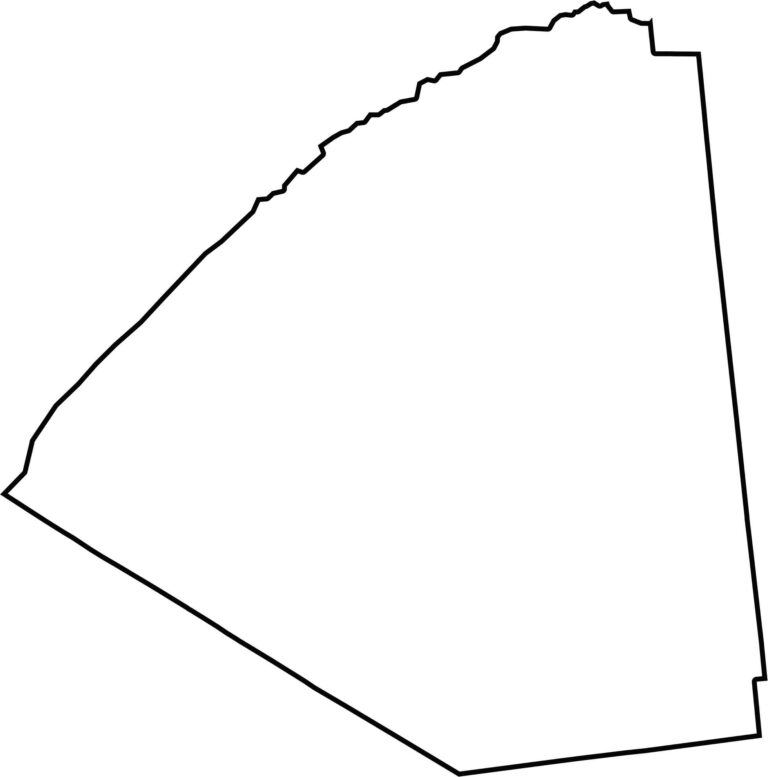
St. Lawrence County is a huge wedge stretching from the Adirondacks to the Canadian border. Its shape even looks a little like a hand fan with its wings spread out. The St. Lawrence River forms the entire northern edge, with Ontario lying across the water. Vermont is nearby to the east, although the county does not directly border it.








New York has 62 counties, and each one has its own personality. From the nonstop energy of Manhattan to the quiet wilderness of the Adirondacks, there’s plenty of variety to explore. And yes, we can’t forget those famous Buffalo wings. Explore our New York county maps.