
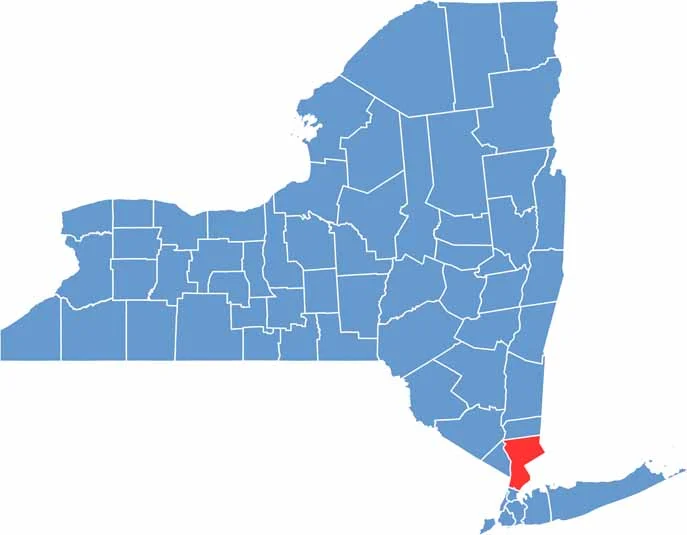
Westchester County sits just north of New York City, offering a place where city dwellers can enjoy trees and actual yards. The Hudson River forms its western border, while countless parks and preserves provide plenty of space for outdoor recreation.
Fancy mansions and horse farms sit alongside historic sites dating back to the Revolutionary War. The county has everything from upscale suburbs to charming river towns, giving the area a varied character.
Westchester is popular with commuters, with trains reaching Manhattan in under an hour. The food scene is also impressive, ranging from high-end restaurants to cozy diners. Living here isn’t cheap, but many residents find the combination of convenience and suburban surroundings worth it.
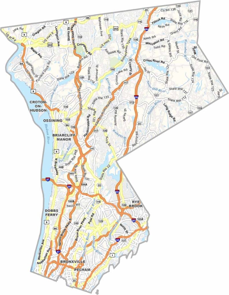
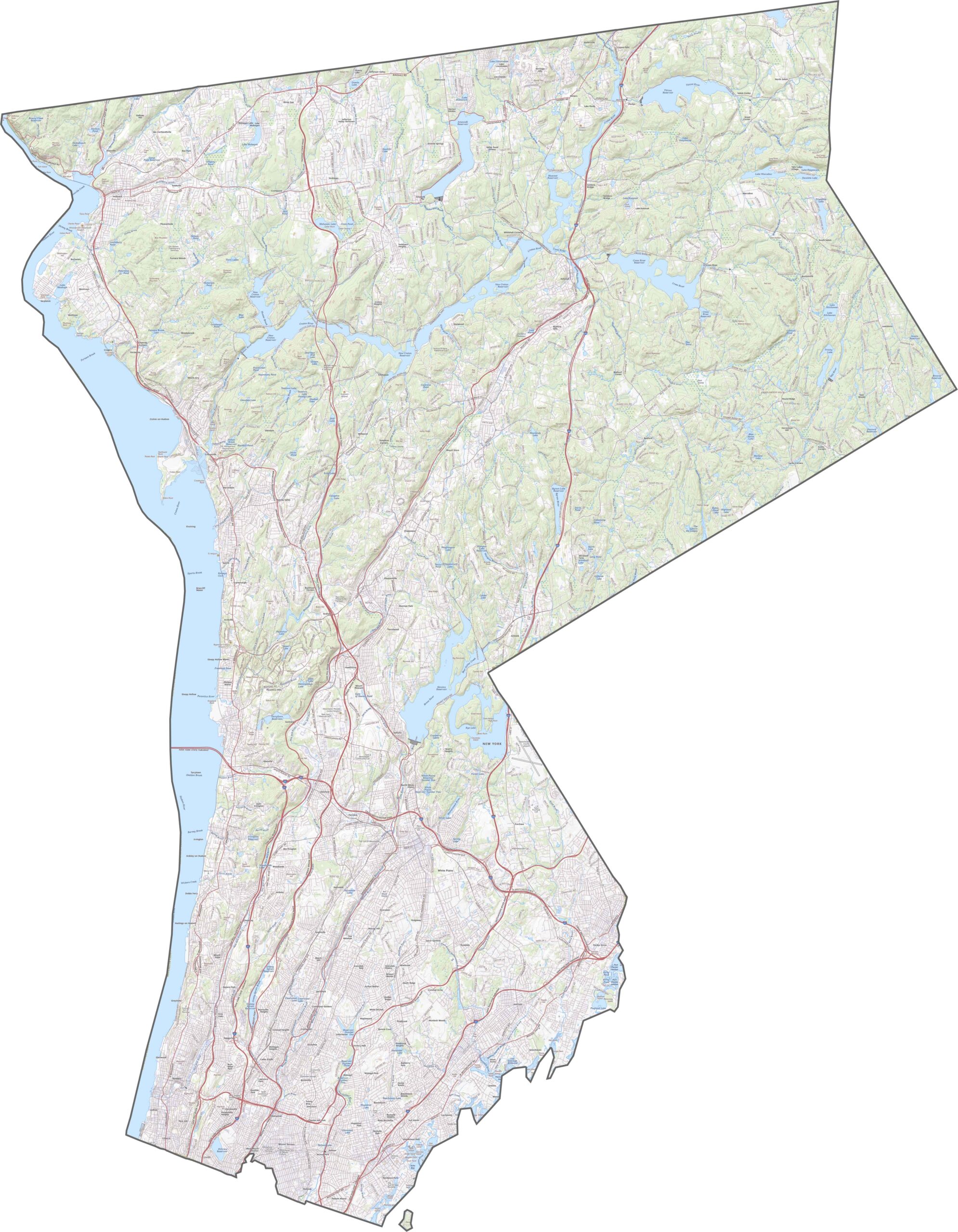
Westchester County is packed with major roads. I-87, I-95, and I-287 all cross the county, while the Hutchinson River Parkway and Saw Mill Parkway wind through the wooded areas. Despite being so close to New York City, some parts of the county still feel surprisingly quiet. Use the zoom tool to explore how the city and suburbs blend together.
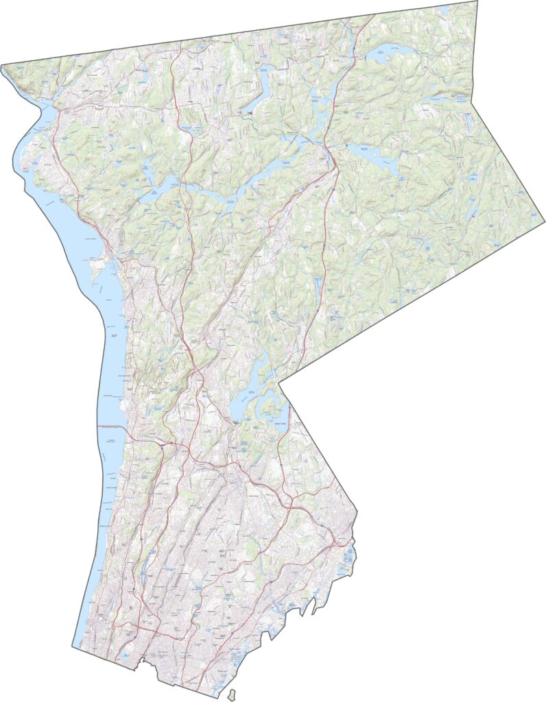
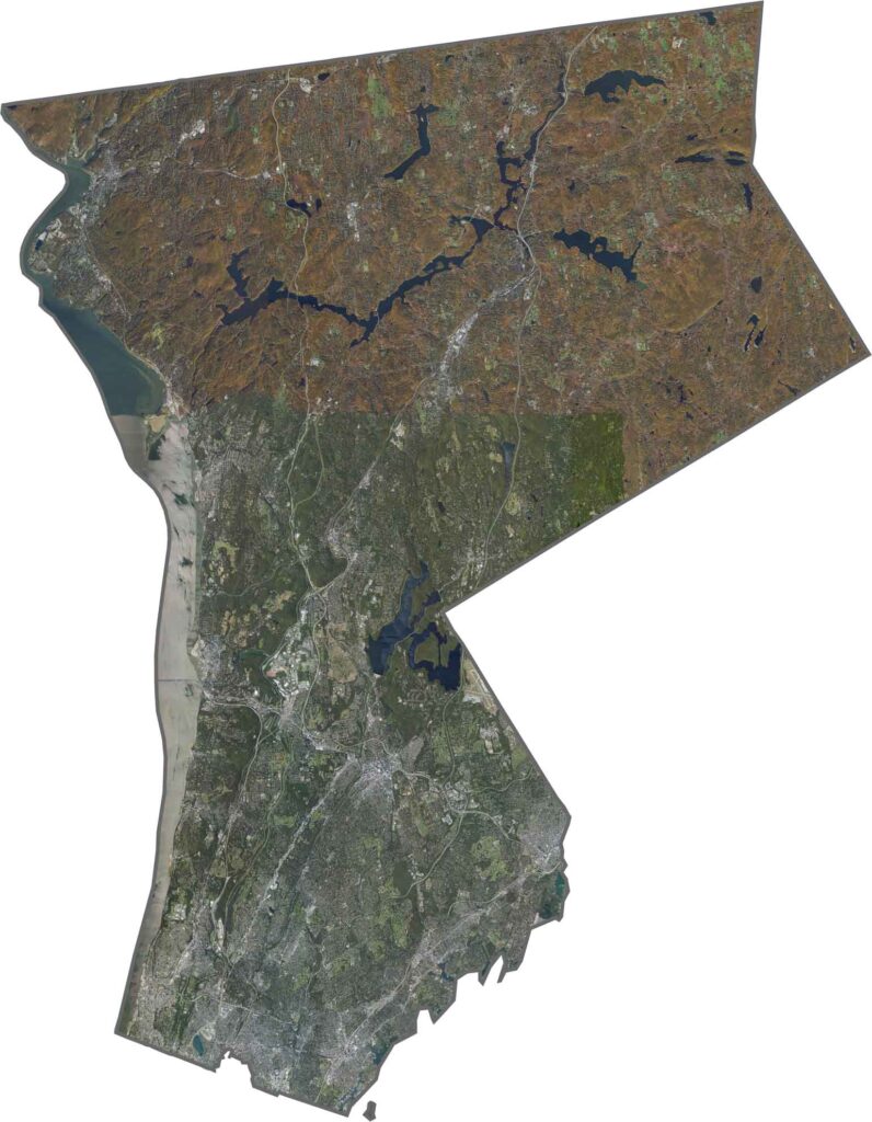
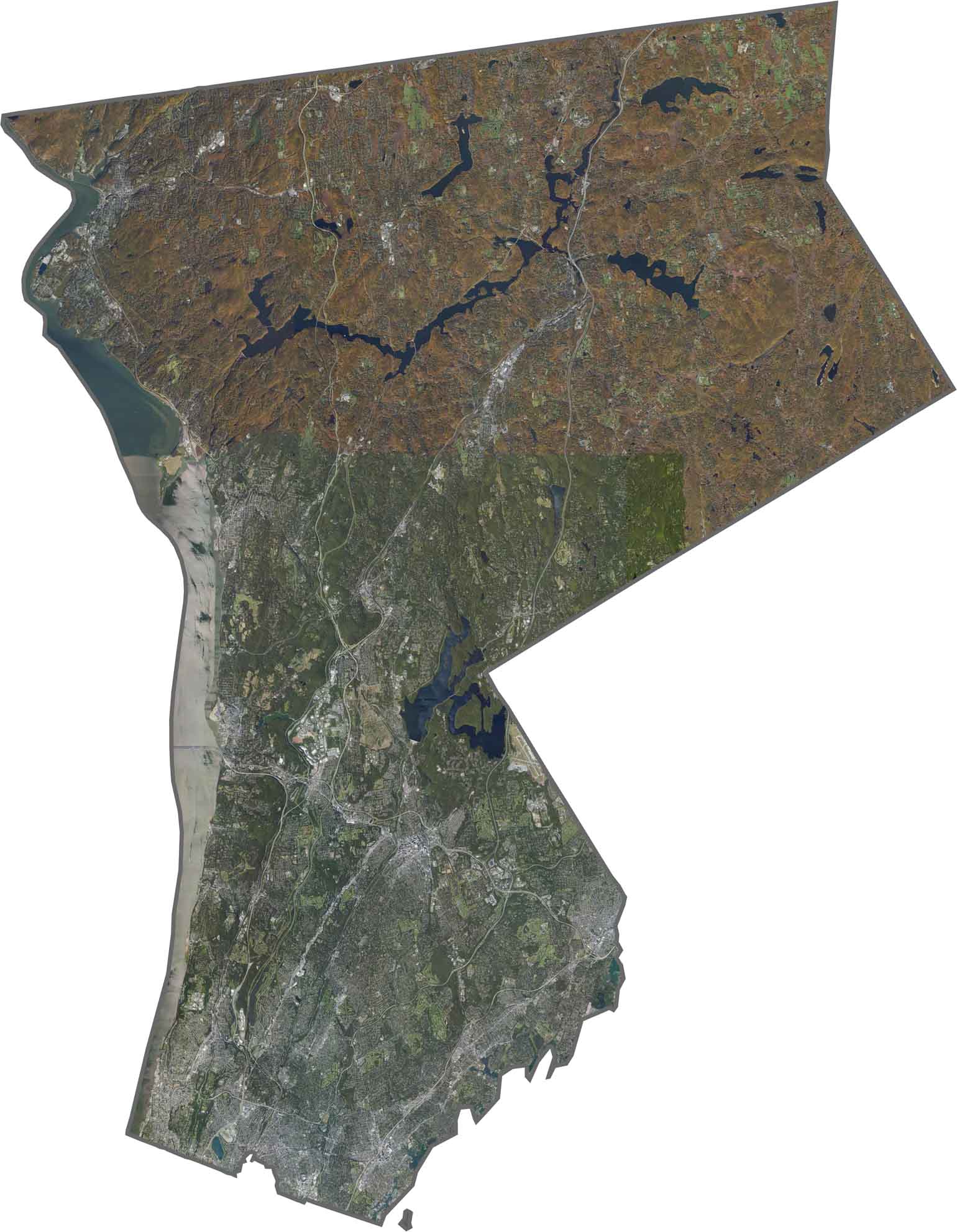
From above, Westchester County shows a dense mix of urban areas, towns, and parks. The Bronx River winds through the middle of the county, while forested stretches remain visible, especially around the reservoirs.
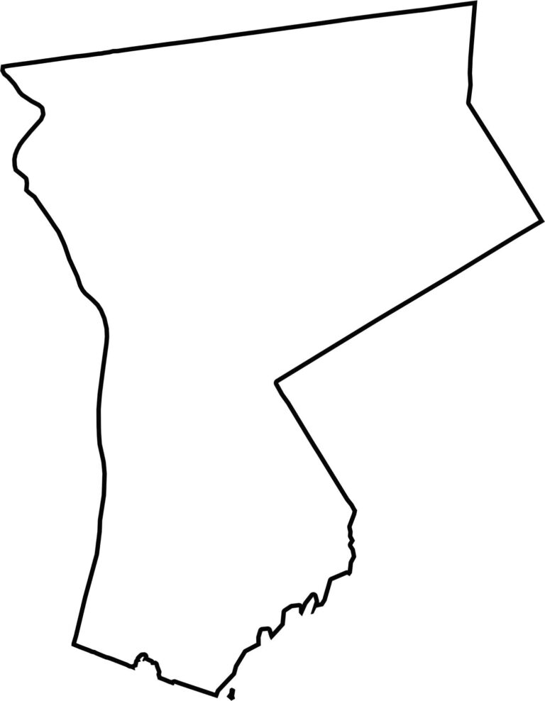
Westchester County has a compact, slightly angled shape. Connecticut borders the county to the east, while the Bronx lies along its southern edge. The Hudson River defines the entire western boundary, and the southern tip narrows into the New York City metropolitan area.









New York has 62 counties, and each one has its own personality. From the nonstop energy of Manhattan to the quiet wilderness of the Adirondacks, there’s plenty of variety to explore. And yes, we can’t forget those famous Buffalo wings. Explore our New York county maps.