
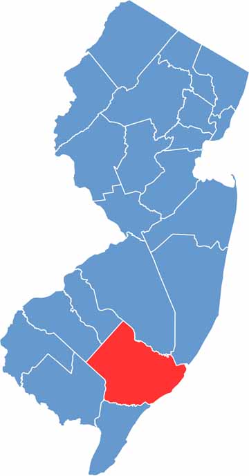
Atlantic County is located in southeastern New Jersey along the Atlantic Ocean coastline. It’s home to the lively city of Atlantic City, known for its casinos and famous boardwalk. But there’s much more to the county than gambling and beaches.
The county has a rich history dating back to its founding in 1837. Farming remains important, with blueberries being one of the major crops. Seafood is also a local favorite, especially the fresh catches from nearby waters. Education plays a role too, with Stockton University located in the county.
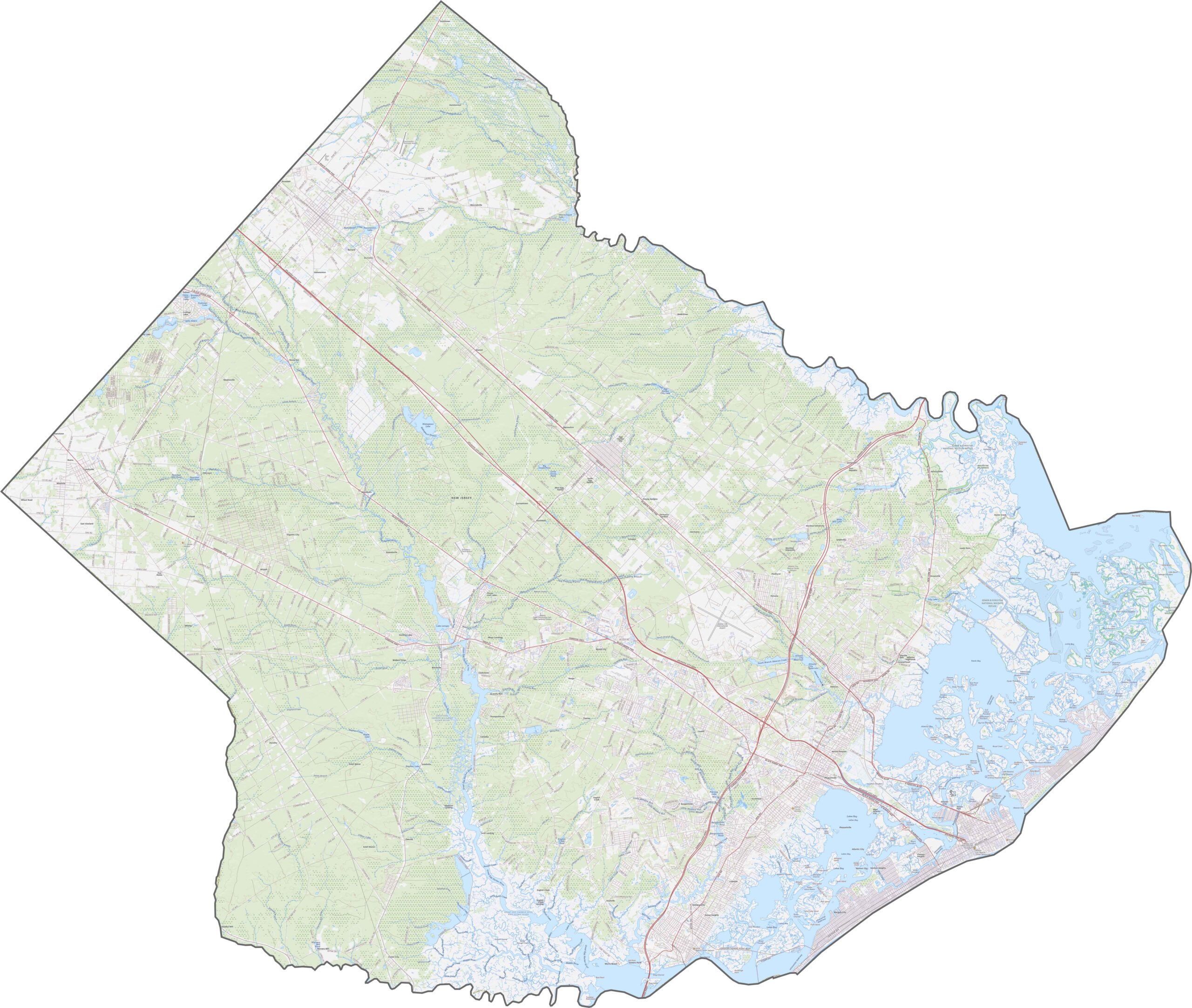
Outdoor enthusiasts can explore the Edwin B. Forsythe National Wildlife Refuge. Atlantic County offers an interesting mix of city life and natural beauty, with quiet pine forests and winding rivers farther inland.
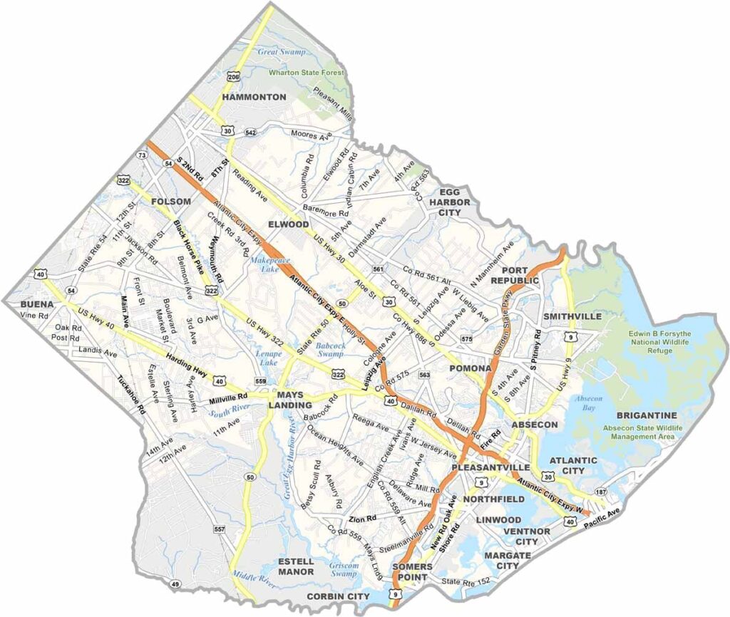
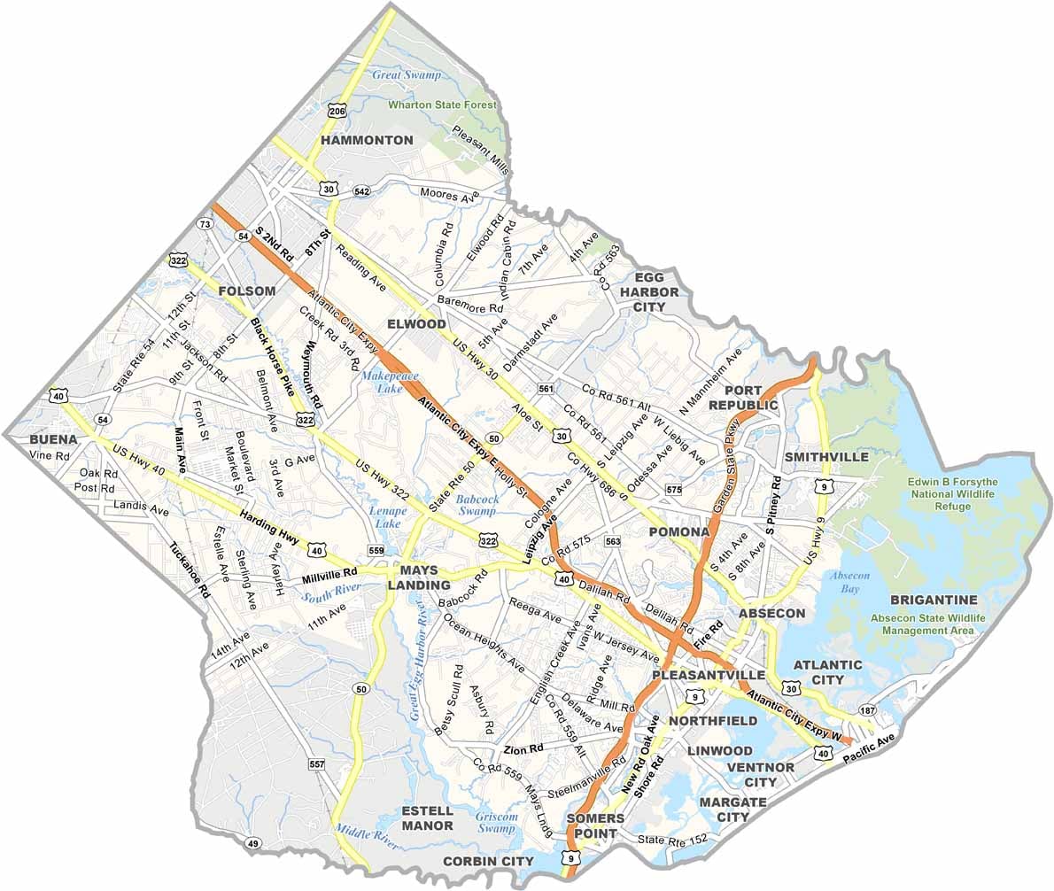
Several major roads run through Atlantic County. The Atlantic City Expressway crosses the middle of the county and provides a direct route toward the coast. Route 40 and Route 30 carry much of the inland traffic, while smaller highways such as Route 50 help connect the surrounding areas. Use our zoom tool to explore each highway on the road map below.
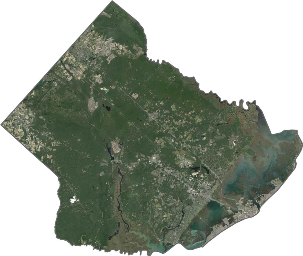
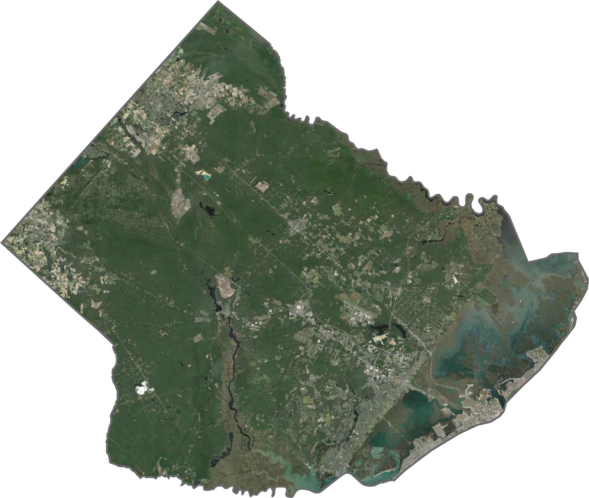
The eastern side features beach communities and boardwalks along the coast. Atlantic City appears as a dense gray area near the ocean, while farmland and forests alternate across the western part of the county. The coastal marshes are another major feature visible from above.
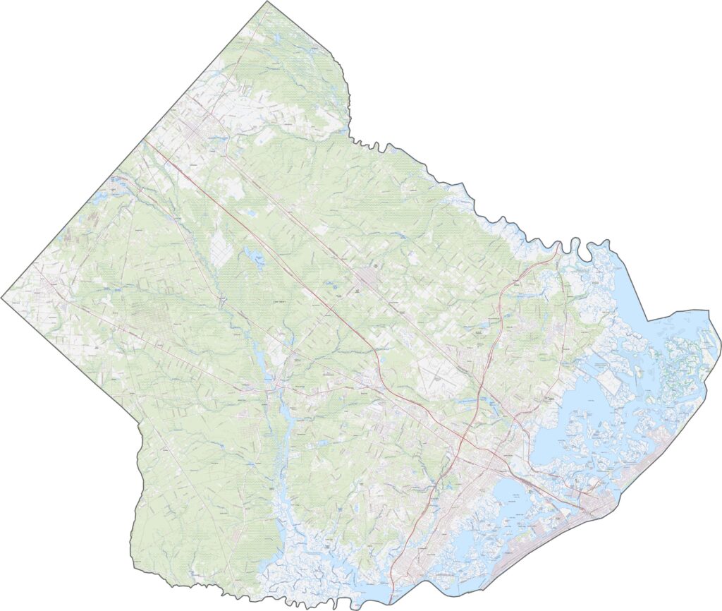
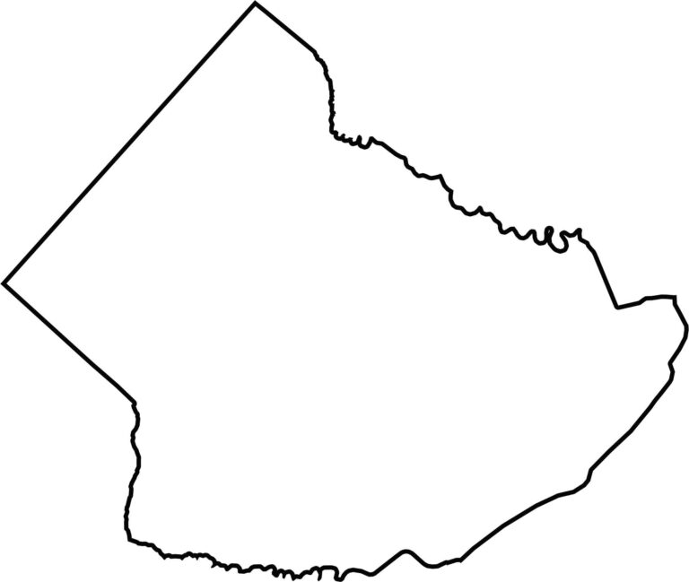
Atlantic County has a mostly boxy outline with jagged edges along the northern and eastern sides. The Atlantic Ocean forms its eastern border, which also explains the county’s name. There are no state borders here, only the ocean and neighboring New Jersey counties.







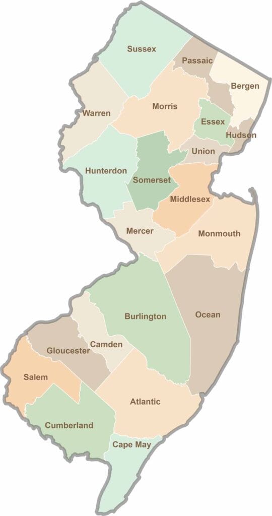
New Jersey packs a lot into its 21 counties, from beach towns and Pine Barrens forests to rolling farmland. Trace colonial history in Hunterdon County or stroll the boardwalk in Ocean County. There's far more here than meets the Turnpike.