
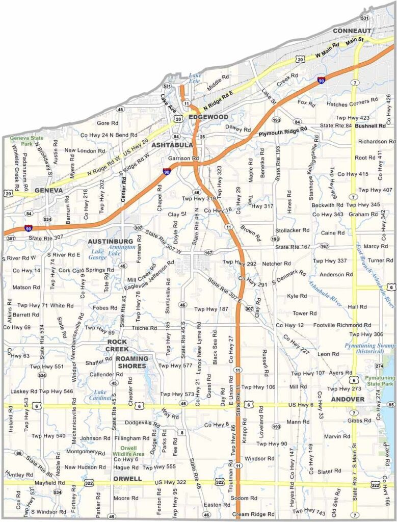
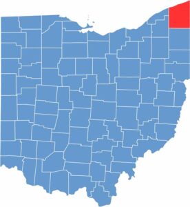
Ashtabula County is in Ohio's northeastern corner, with Pennsylvania as its neighbor. Lake Erie defines the northern border, and wineries abound here, taking advantage of the lake effect climate.
The county boasts the most covered bridges in Ohio. Ashtabula Harbor was once one of the busiest ports on the Great Lakes, and today it's a charming historic district. The area's natural beauty is stunning.
Inland, you'll find forests and farmland. Summers bring tourists looking for lakeside fun, and winters are harsh but beautiful. Ashtabula County has a rugged, independent spirit that's all its own.
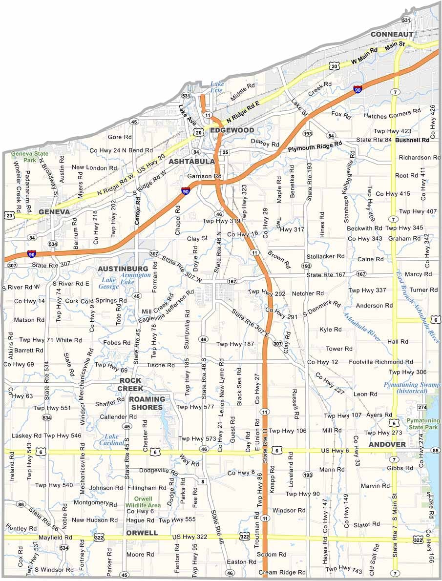
Several highways slice through Ashtabula County, but none more important than Interstate 90. It runs east-west, just a few miles south of Lake Erie. Find every highway with our zoom tool and road map below.
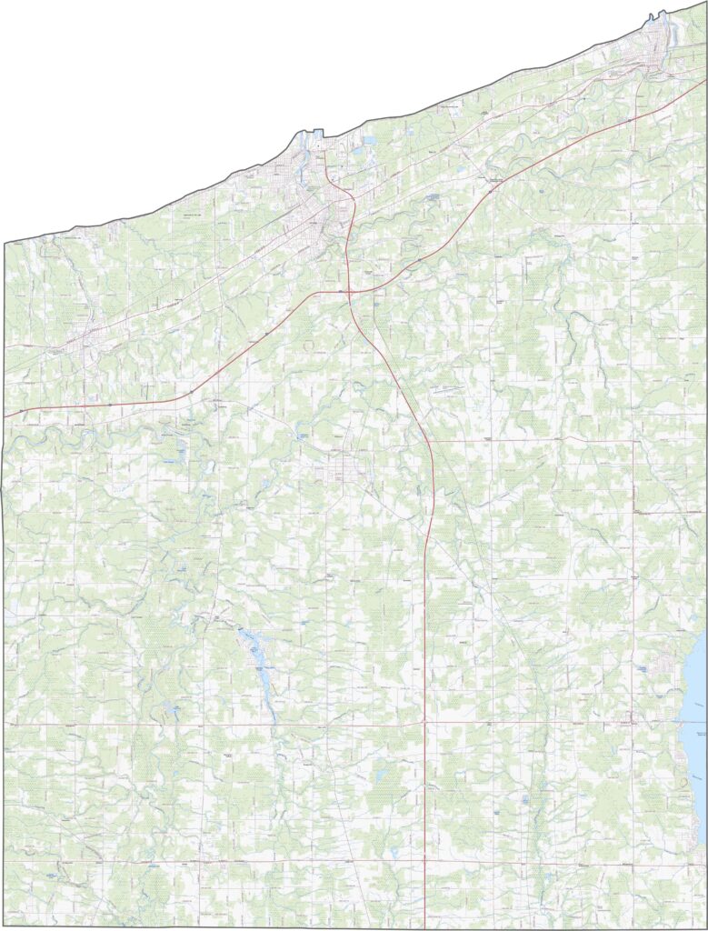
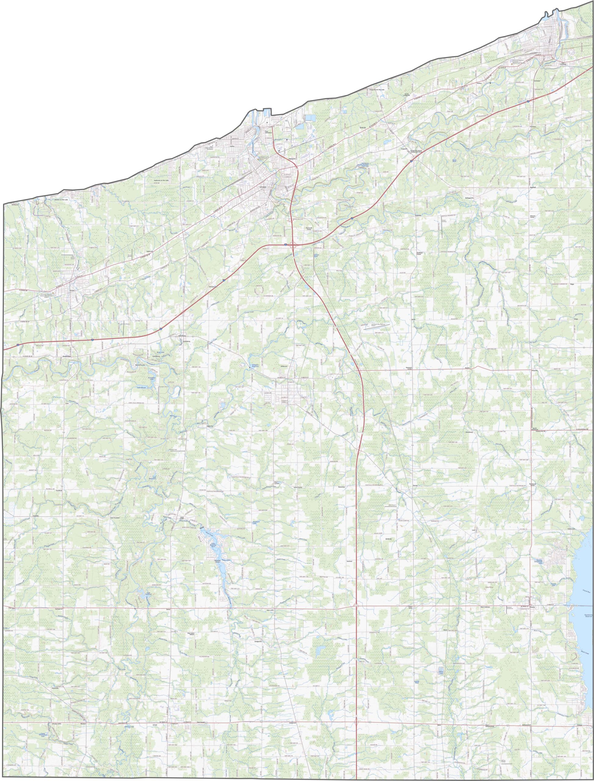
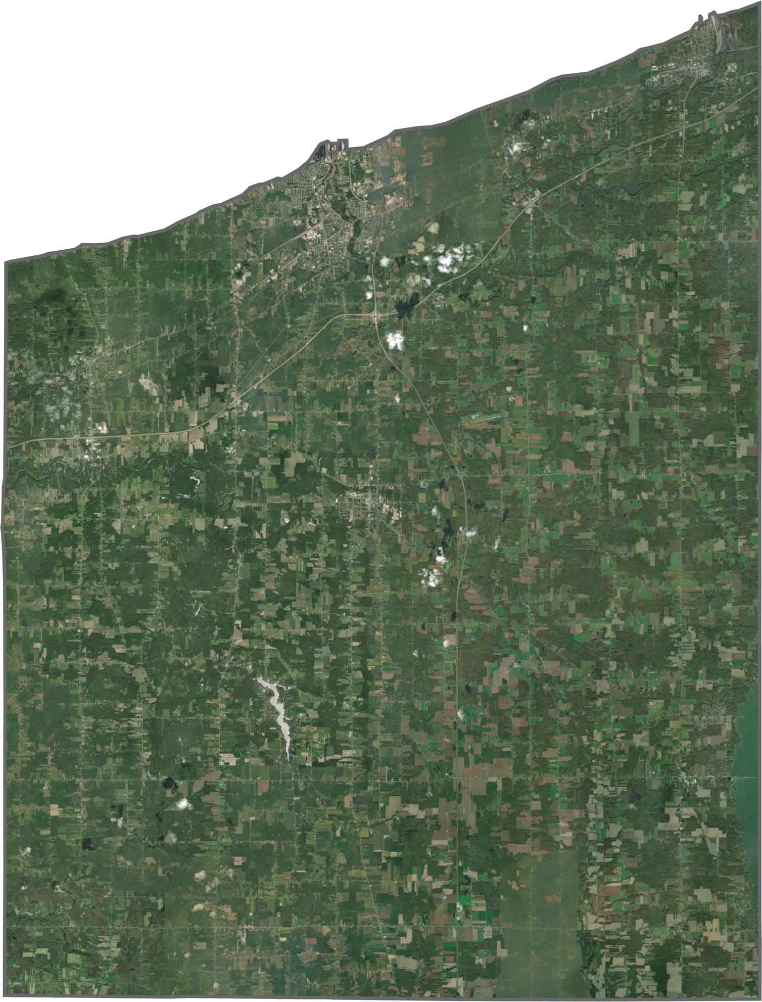
Lake Erie steals the show along the northern edge. Though inland, farmland dominates most of the view, and forests are dense in some southern sections. Cities like Ashtabula and Conneaut appear near the lake, but most towns are small.
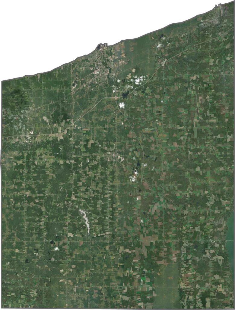
The northern border hugs Lake Erie, and it's the only Ohio county with that much shoreline along the lake. To the east, it borders Pennsylvania. Though mostly square inland, the lakefront edge is irregular and curved.









Forget the coast. Ohio’s 88 counties are where everyday America comes alive. No pretense, no postcard perfection—just hardworking towns and quiet backroads that grow on you. This is the Midwest without the filter.