
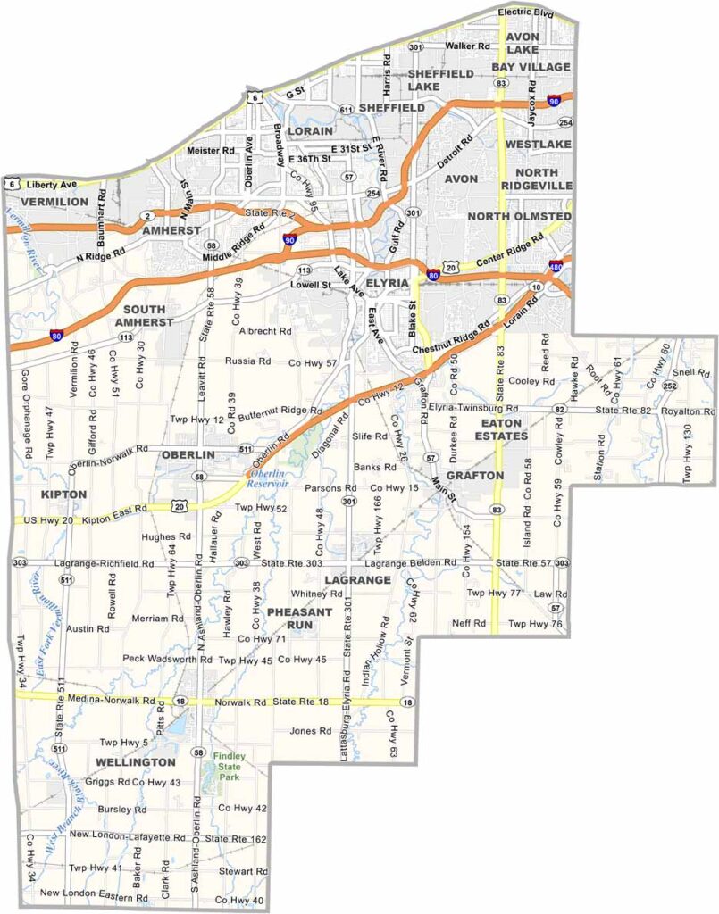
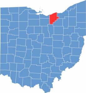
Lorain County sits along the southern shore of Lake Erie. It’s a place of diversity, where industrial cities sit alongside rural farmland. The county has seen its share of ups and downs, with steel mills once dominating the landscape.
Today, new industries are taking their place. The county is also home to Oberlin College, a school with a long history of social justice. Natural beauty is another highlight, from miles of Lake Erie shoreline to lush metro parks.
Lorain County also has a lively cultural scene, with art galleries in Oberlin and festivals in Elyria. The county is a melting pot of cultures, with influences from around the world, from Polish pierogies to Puerto Rican mofongo. Lorain County is full of surprises.
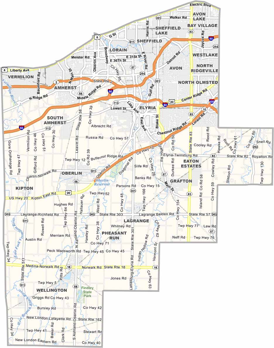
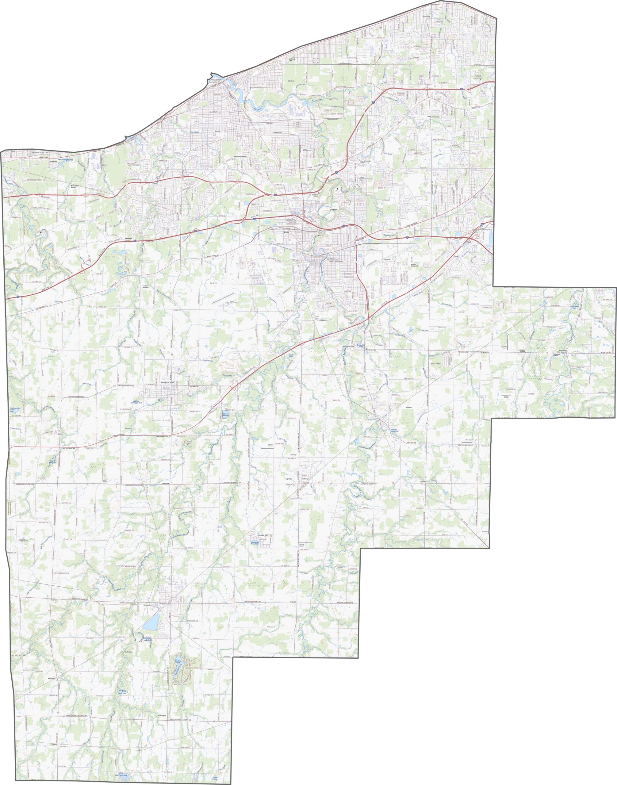
Lorain County is well connected by major transportation corridors. Interstate 90 runs across the county, while U.S. Route 20 and several state routes provide additional connections. Urban areas can experience heavier traffic, but quieter roads open up the more rural parts of the county.
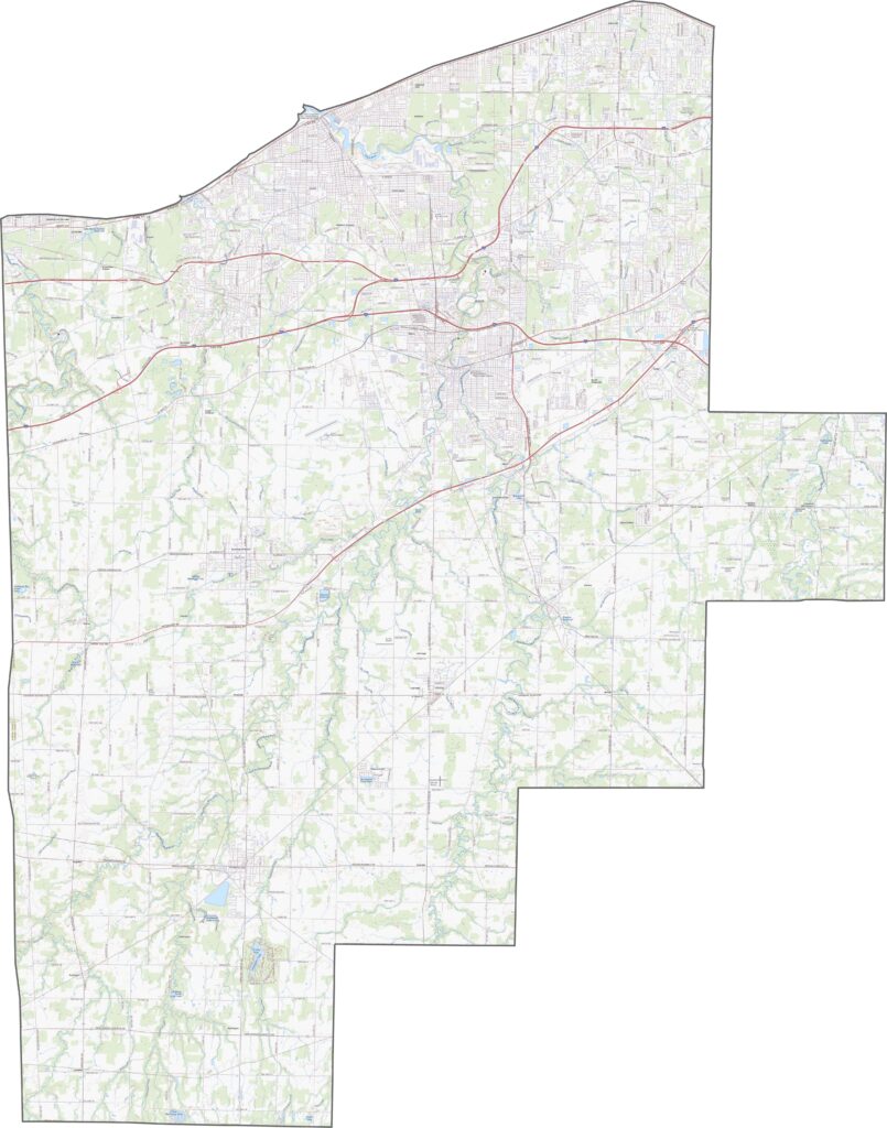
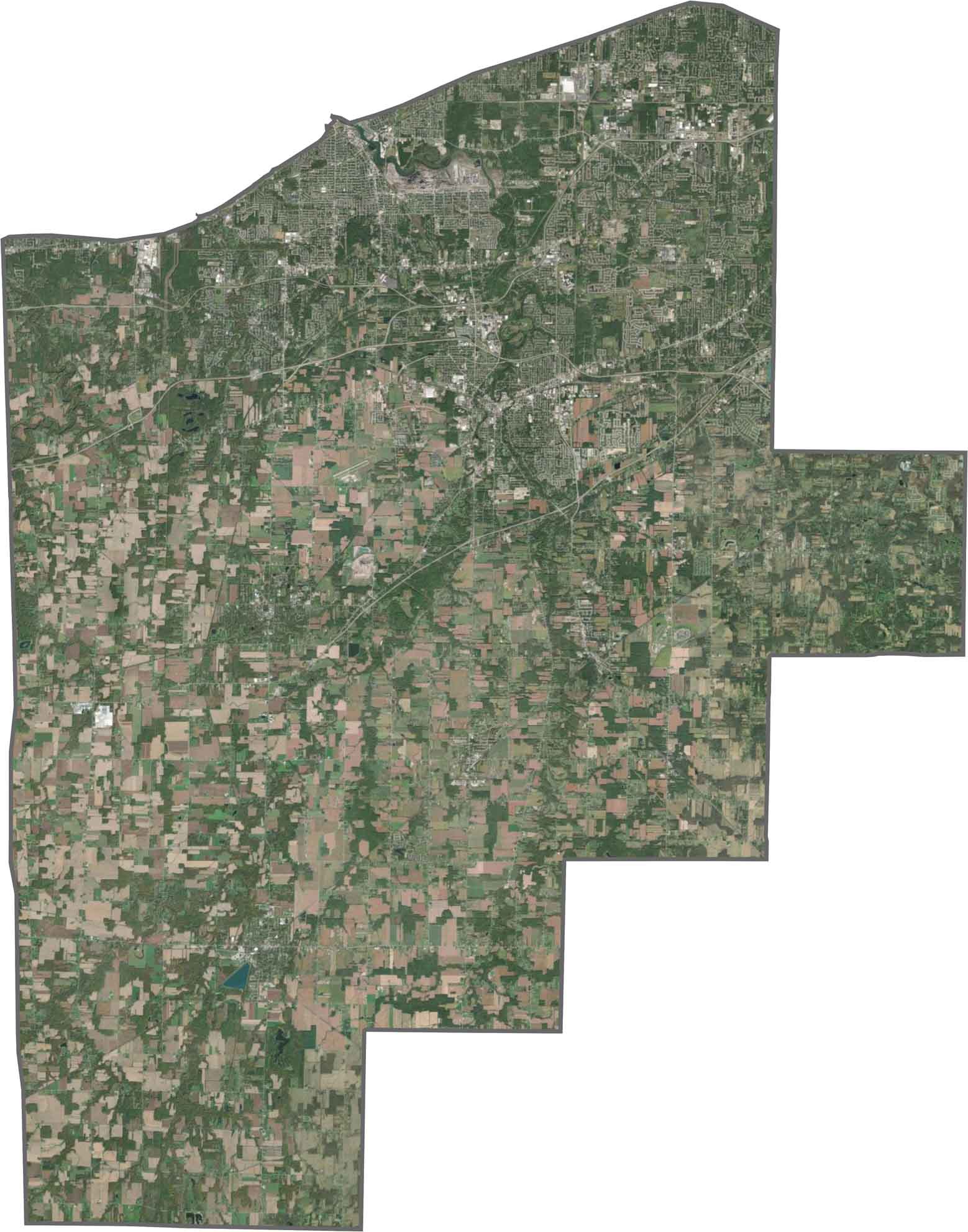
From above, the county’s different landscapes become clear. Elyria and Lorain stand out as developed urban areas, while plenty of open fields and wooded areas fill the surrounding landscape.
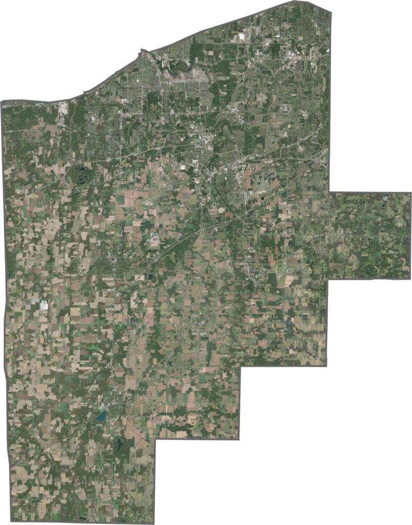
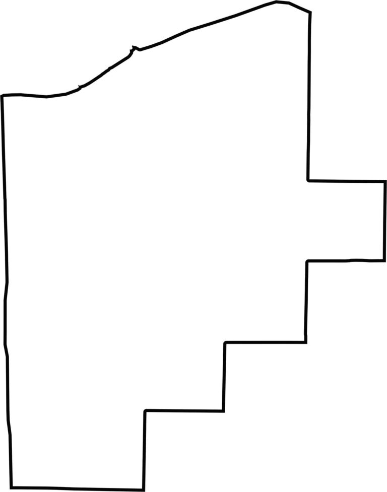
Lorain County has a distinctive lakeside boundary. Its northern edge follows Lake Erie, giving the otherwise angular borders a natural curve. Most of the remaining sides follow straight survey lines, while the lakefront creates the county’s most recognizable boundary.








Forget the coast. Ohio’s 88 counties are where everyday America comes alive. No pretense, no postcard perfection—just hardworking towns and quiet backroads that grow on you. This is the Midwest without the filter.