
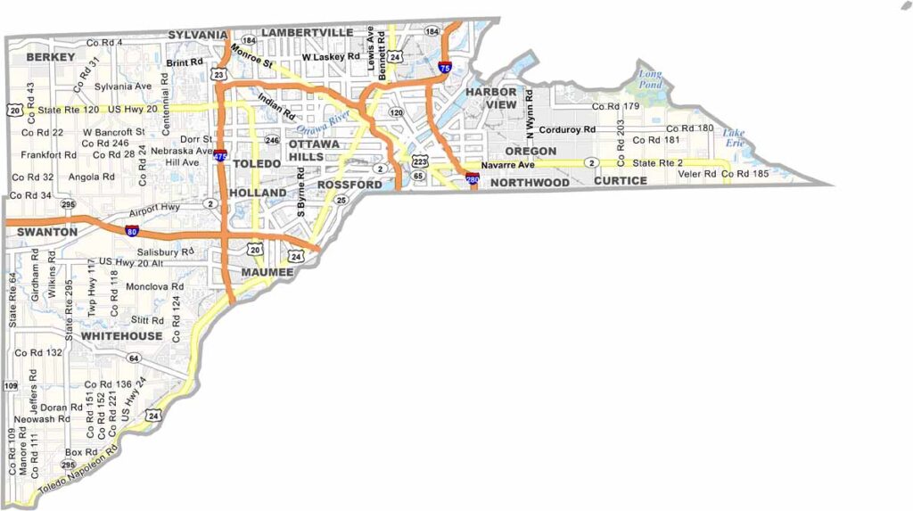
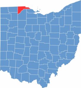
Lucas County lies in northwestern Ohio along the Michigan border. Toledo, the county seat, dominates the area with its grit and character. The Toledo Museum of Art is world-class, especially known for its impressive glass collection.
But Lucas County is more than just Toledo. Maumee has a historic district, while Oregon is home to some of the best birding spots in the Midwest. The county has a rich industrial heritage and remains an important manufacturing hub, even as new industries move in.
Lucas County is also known for its parks, with Wildwood Preserve Metropark being a local favorite. With more than 400,000 residents, there’s always something happening, from jazz festivals to minor league baseball games. There’s rarely a dull moment here.
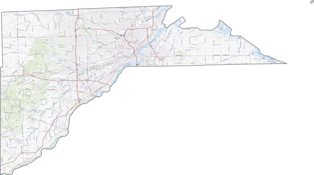
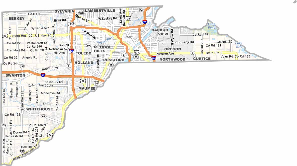
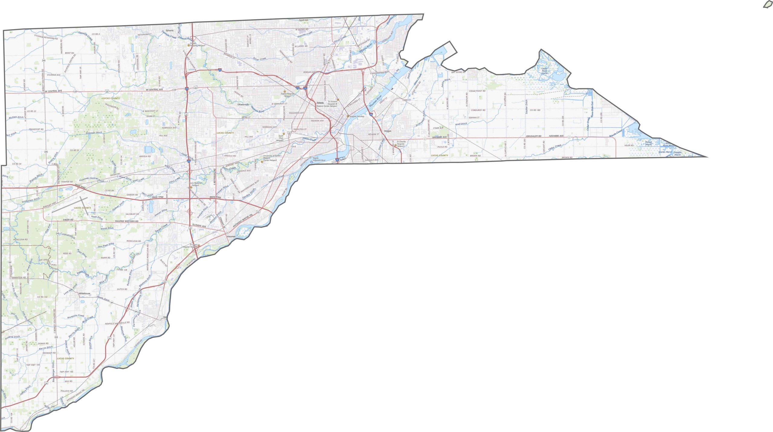
Lucas County is packed with major highways. Interstates 75, 280, and 475 cross the region, while U.S. Route 24 provides another important connection. Traffic can bottleneck around Toledo, but outer routes offer some relief. State highways help fill in the gaps across the county. Use our zoom tool below to explore the road network in greater detail.
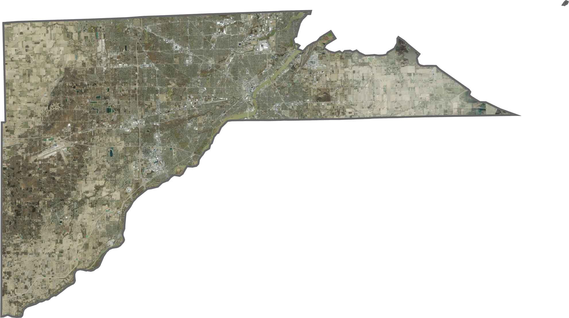
From above, Toledo dominates the view. While development is concentrated around the city, rivers, rail yards, and ports give the area a distinctive layout. The Maumee River winds through the heart of the county, while the Lake Erie shoreline forms much of the northeastern edge.
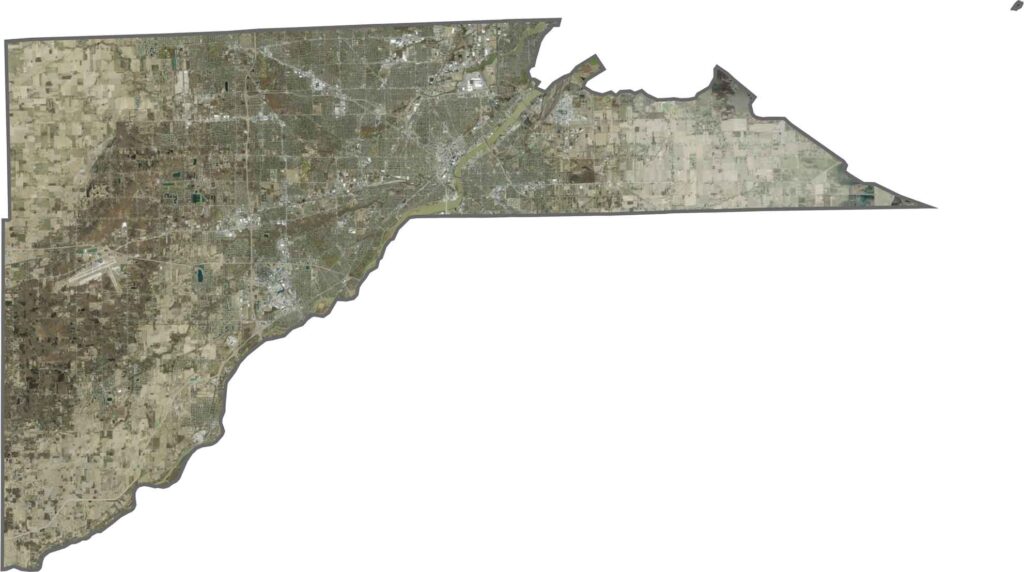
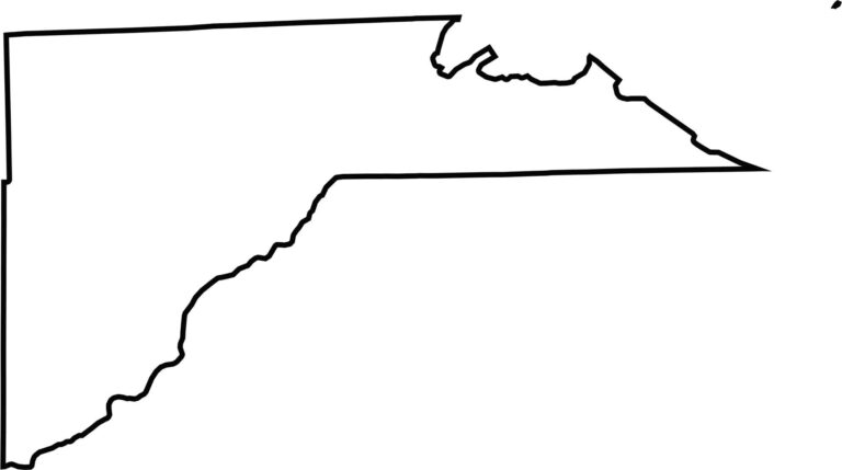
Lucas County stretches along Lake Erie and borders Michigan to the north. Its outline is irregular, combining straight boundaries with curves created by rivers. The Maumee River shapes part of the southern edge. Although the county’s borders are somewhat jagged, the lake and river give its shape a distinctive character.








Forget the coast. Ohio’s 88 counties are where everyday America comes alive. No pretense, no postcard perfection—just hardworking towns and quiet backroads that grow on you. This is the Midwest without the filter.