
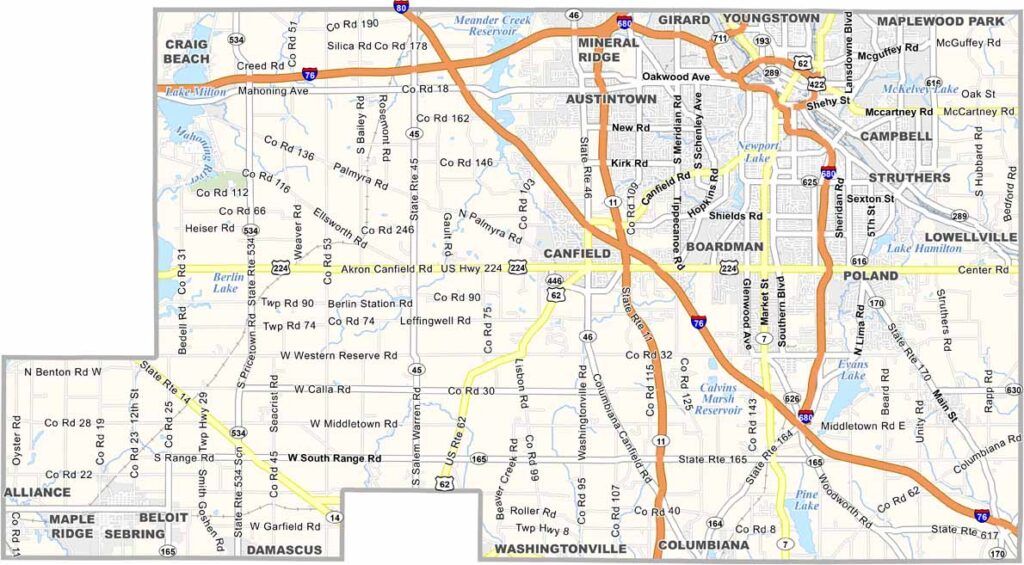
Mahoning County sits in northeastern Ohio along the Pennsylvania border. Youngstown serves as the county seat and remains the heart of the area. Once a major steel producer, the city is now reinventing itself for the 21st century.
The county is known for Mill Creek Park, one of the largest urban parks in the country and a true local treasure. It’s also home to Youngstown State University, which was founded in 1908.
Mahoning County is rich in cultural diversity, with Italian, Irish, and African American influences shaping the area. The food scene reflects that mix, from Italian restaurants to Polish delis. The county has faced its challenges, but it continues to bounce back.
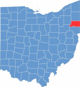
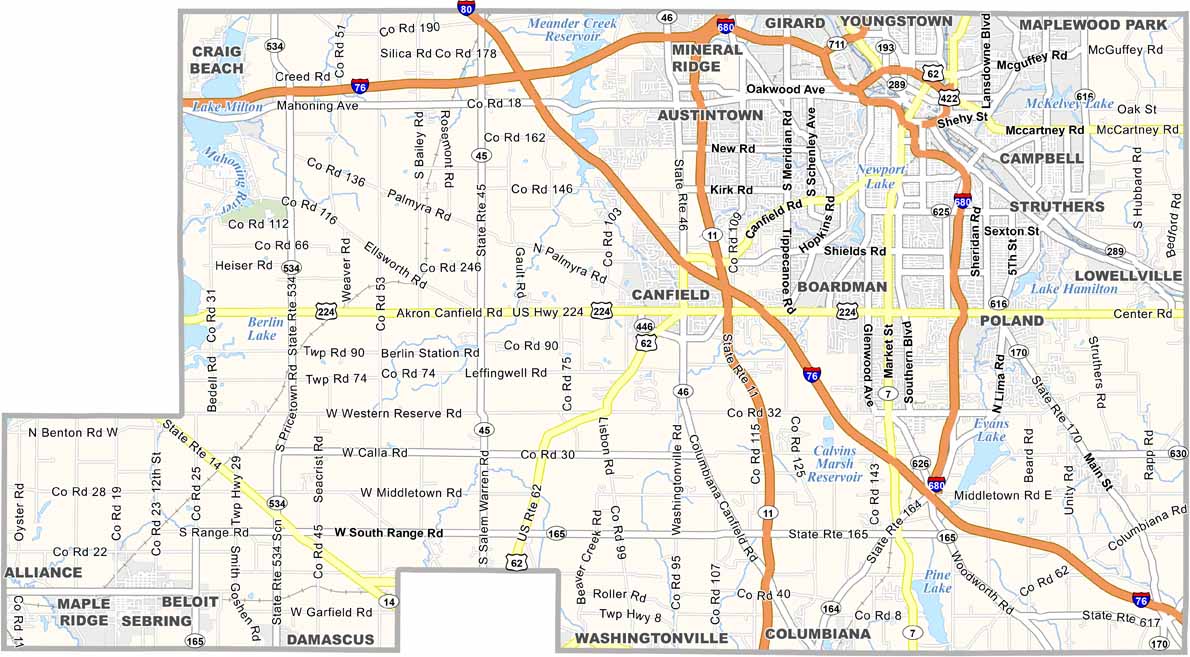
Mahoning County is crossed by several major interstates. I-76 runs through the southern part, while I-680 loops around Youngstown. U.S. Routes 62 and 224 provide important connections across the county.
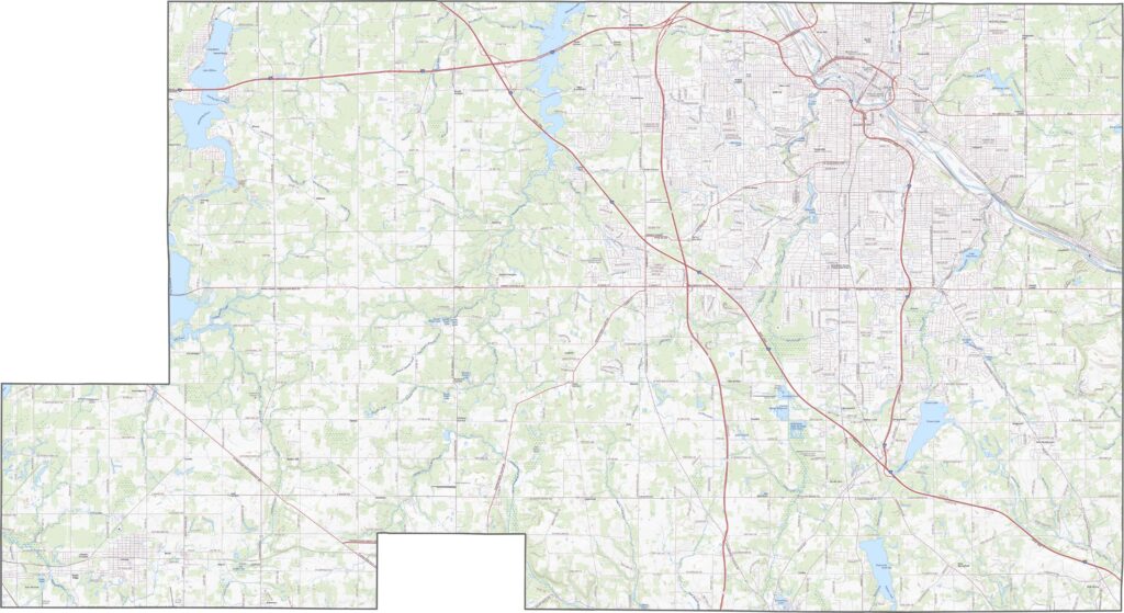
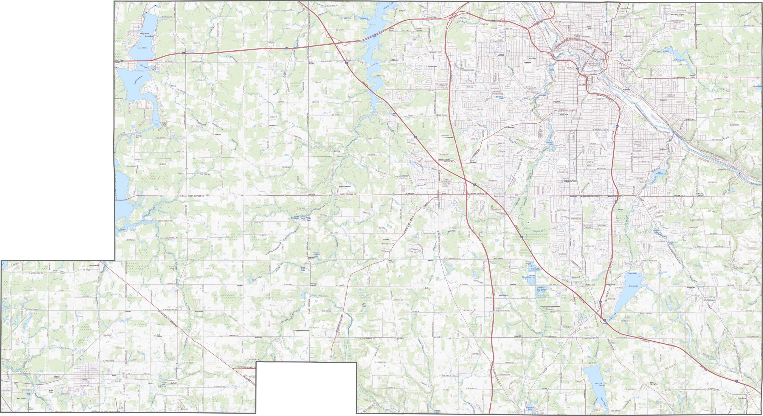
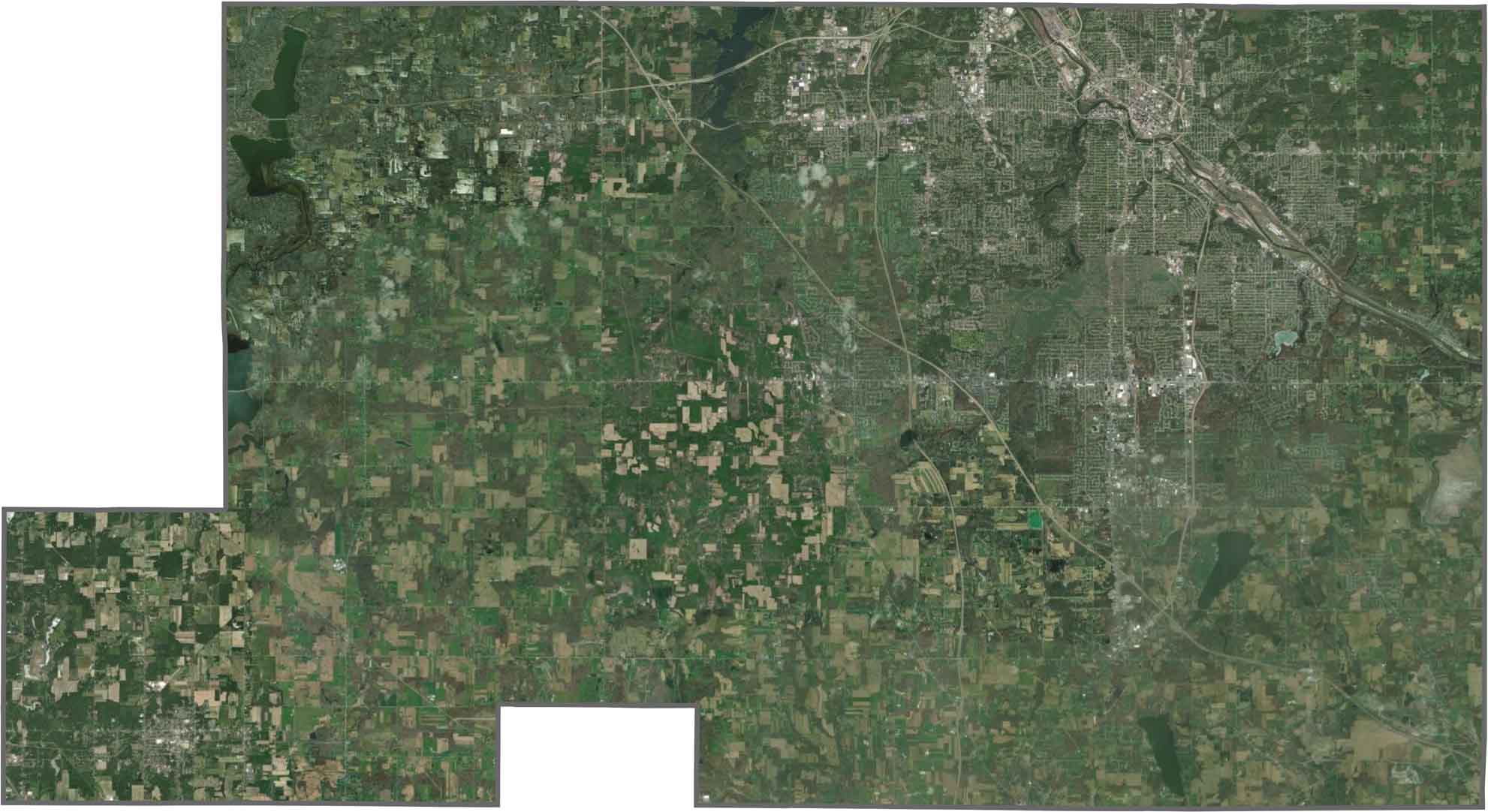
Youngstown spreads across much of the central area, but green spaces are never far away. Open woods and farmland cover large parts of Mahoning County as well. While urban development dominates the center, fields become more common toward the edges.
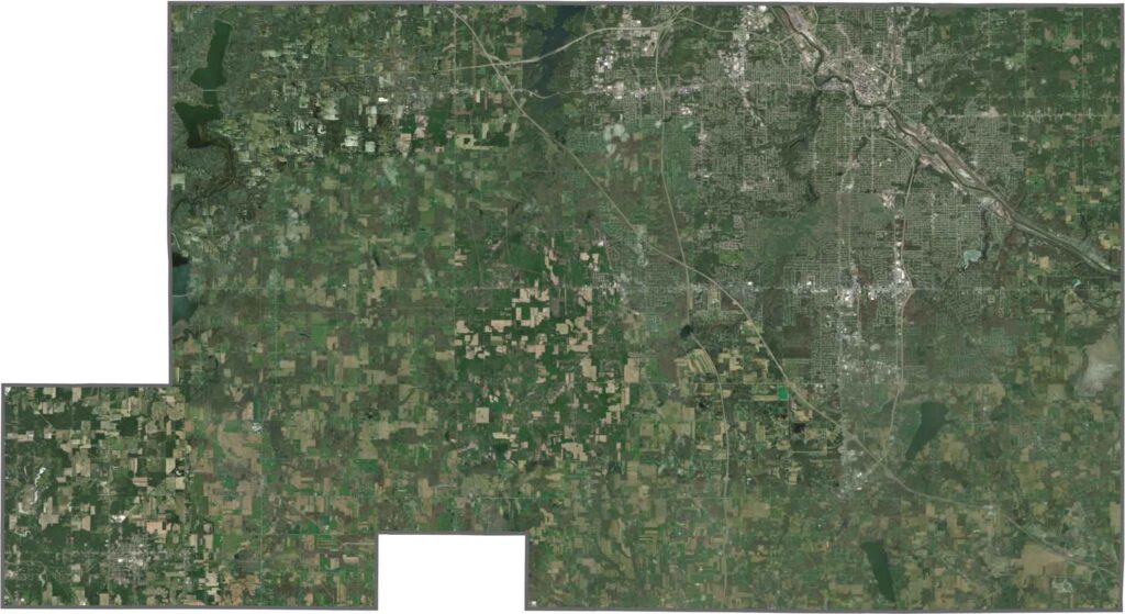
Mahoning County has boundaries made mostly of straight lines. Although it does not border another state, its outline is still distinctive. The county is slightly tilted, with a squared-off southern edge and a notched section along the northern boundary.









Forget the coast. Ohio’s 88 counties are where everyday America comes alive. No pretense, no postcard perfection—just hardworking towns and quiet backroads that grow on you. This is the Midwest without the filter.