
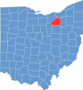
Medina County sits in northeastern Ohio, not far from Cleveland. It blends rural charm with suburban comfort. The county dates back to 1812, and Medina’s town square offers a picturesque glimpse into earlier times.
The county has plenty of parks and green spaces. The annual county fair is a major summer event and is among the largest in Ohio. Medina County has also experienced steady growth over the years.
Many residents commute to Cleveland or Akron for work. The area is known for its excellent schools and family-friendly atmosphere, while local businesses continue to thrive alongside national chains.
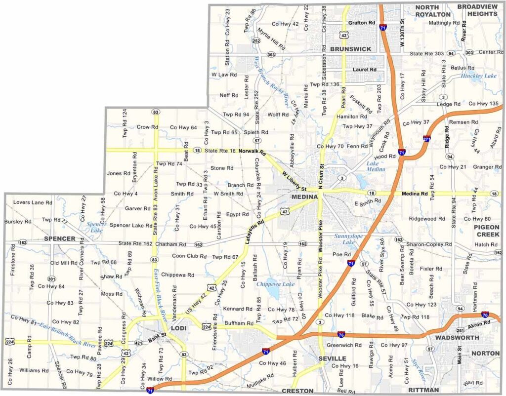
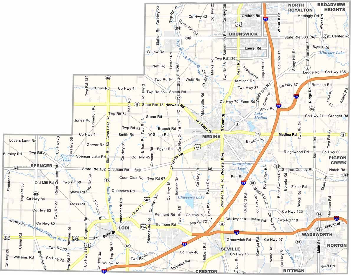
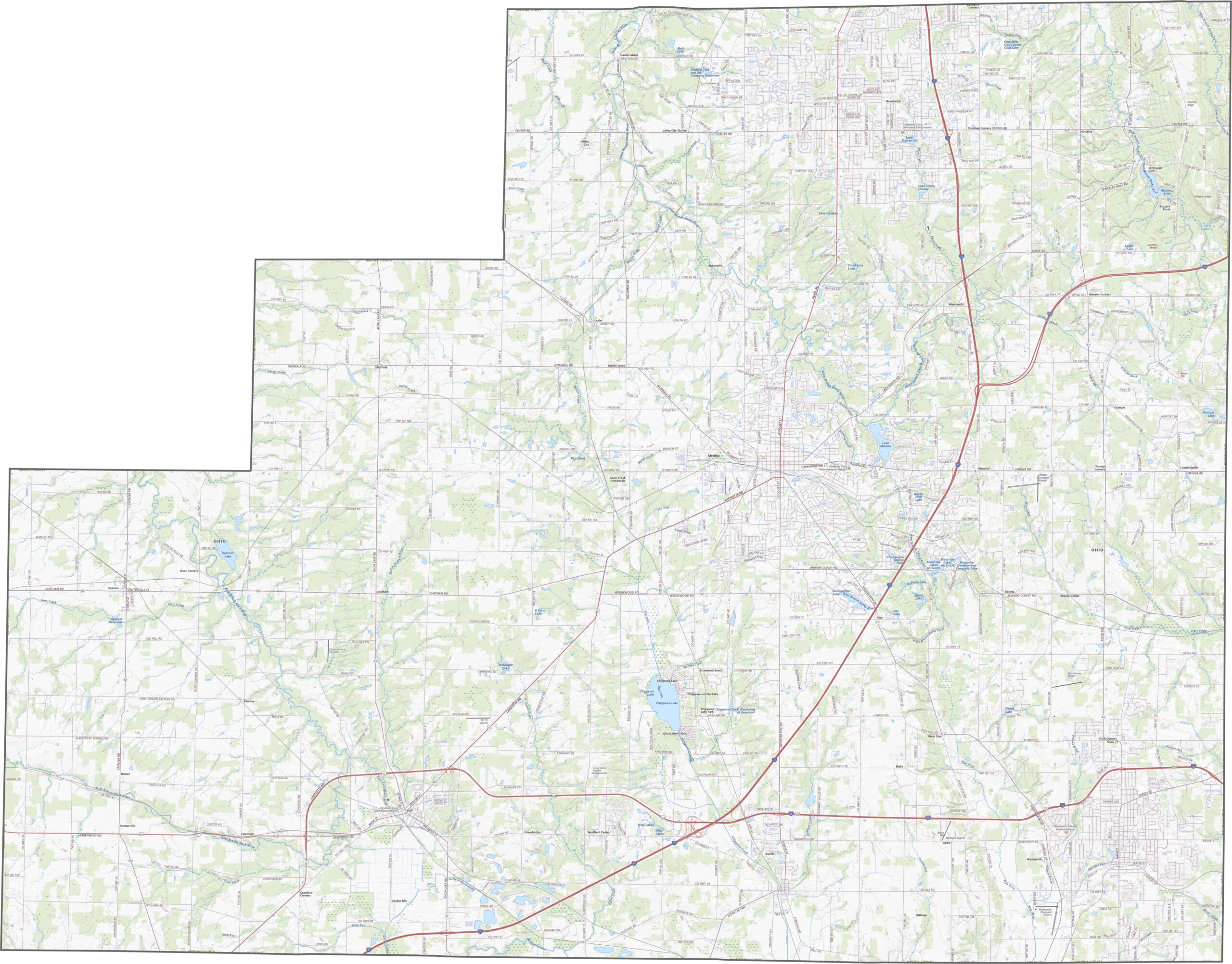
Medina County has a well-connected road network. I-71 runs north to south along the eastern side, while U.S. Routes 42 and 224 provide reliable east-west connections. Traffic can slow around Medina city, but the rural roads are generally quieter. Use our zoom tool below to explore the road network in greater detail.
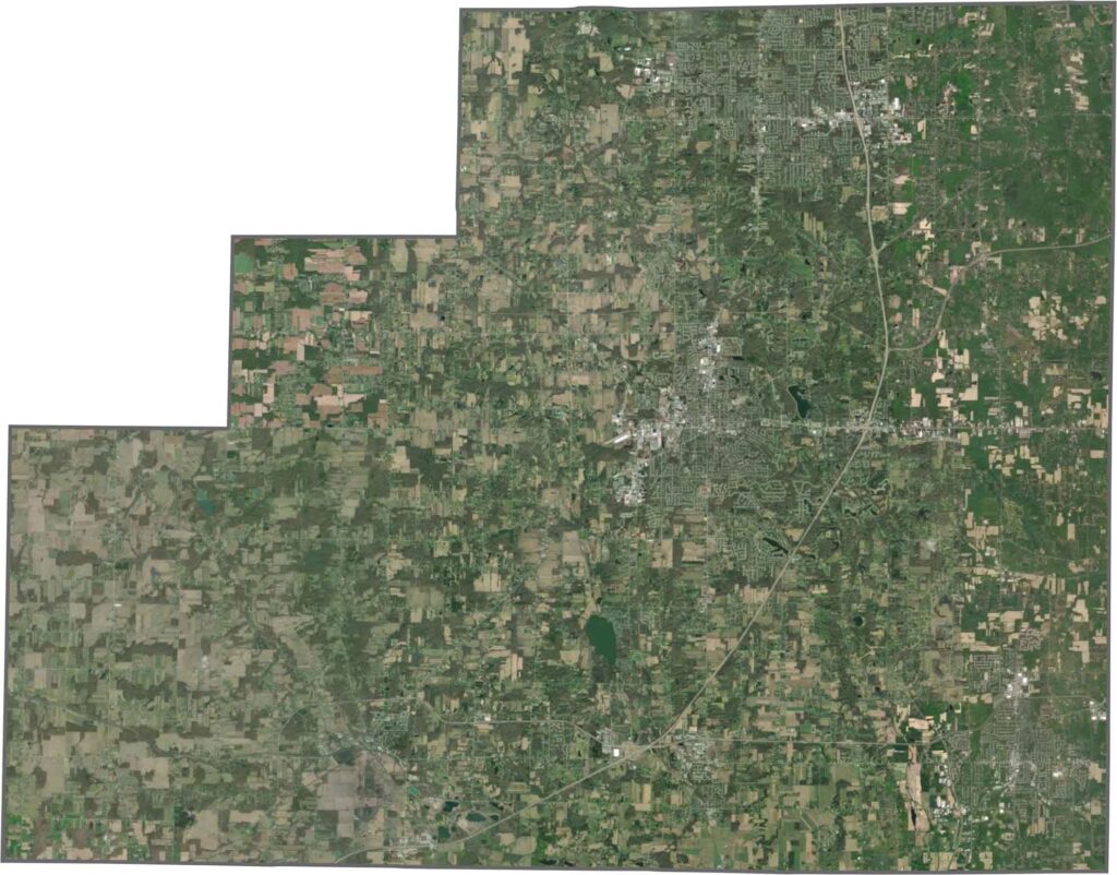
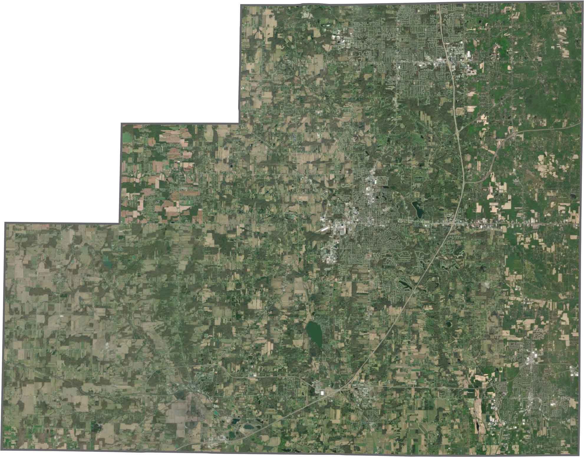
From above, Medina County appears mostly agricultural, with fields covering much of the landscape. Wooded patches and winding creeks break up the open farmland, while suburban neighborhoods are concentrated in the northeast. The landscape may not be flashy, but it offers a balanced mix of development and open space.
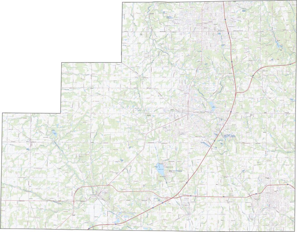
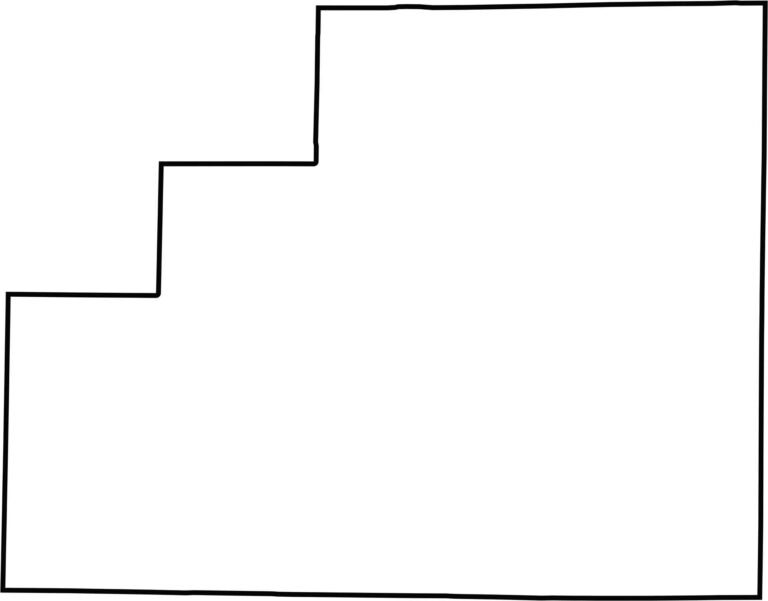
Medina County has a mostly rectangular outline, although it isn’t perfectly uniform. The boundaries are largely straight, with a few slight shifts and angles. No rivers form its borders, and the county does not touch another state. Its simple shape makes it easy to identify on a map.








Forget the coast. Ohio’s 88 counties are where everyday America comes alive. No pretense, no postcard perfection—just hardworking towns and quiet backroads that grow on you. This is the Midwest without the filter.