
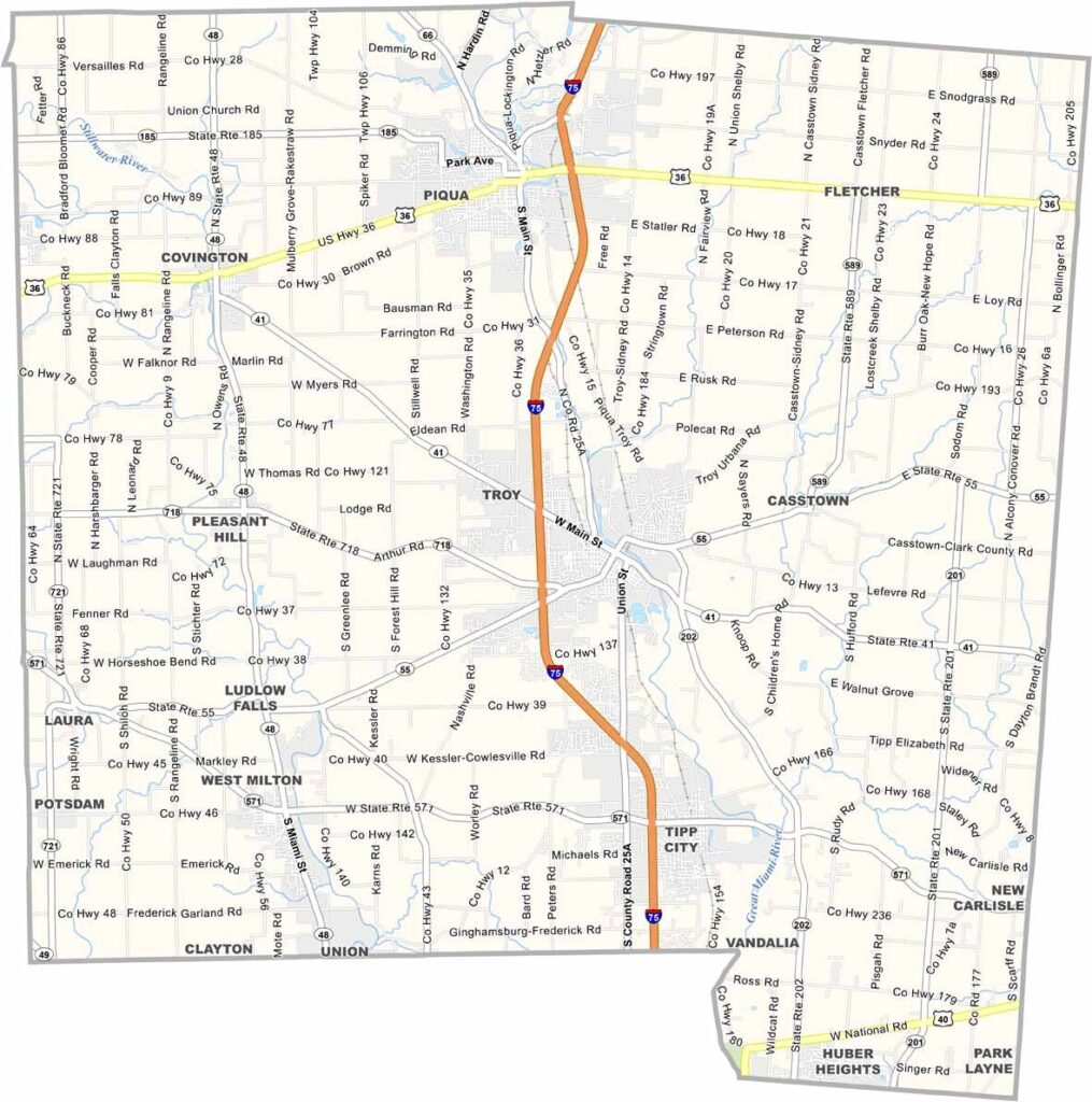
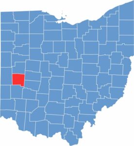
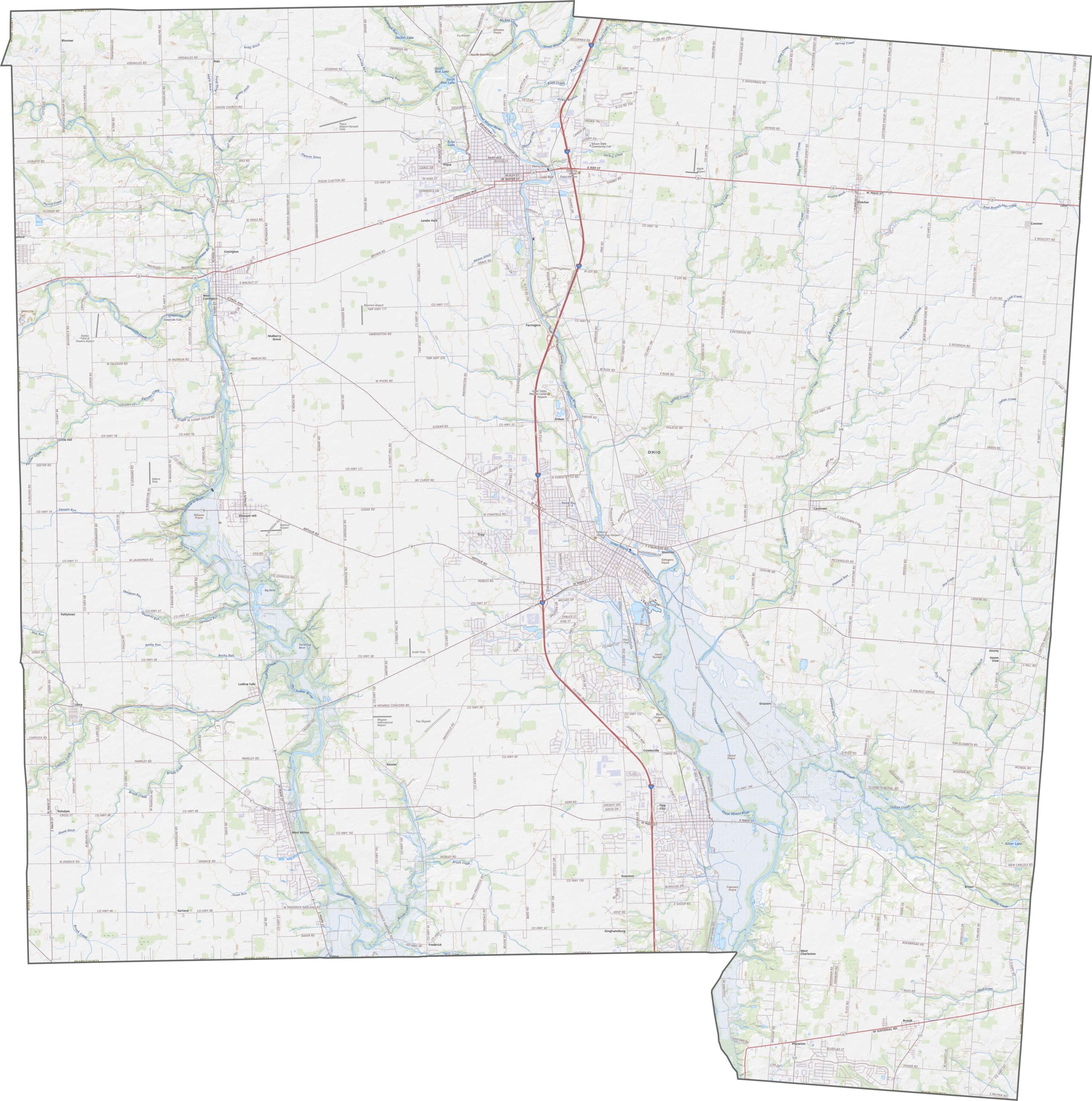
Miami County lies in the southwestern part of Ohio. It's named after the Miami people who once called this area home. The Great Miami River cuts through the heart of the county, including through Troy, the county seat.
The Hobart Institute of Welding Technology trains future welders. Aviation history runs deep in Miami County, where WACO Aircraft Company once built planes. Now there's a museum dedicated to that legacy.
The county has a good mix of industry and agriculture. People here value their quality of life. It's a place where small-town charm meets modern amenities.
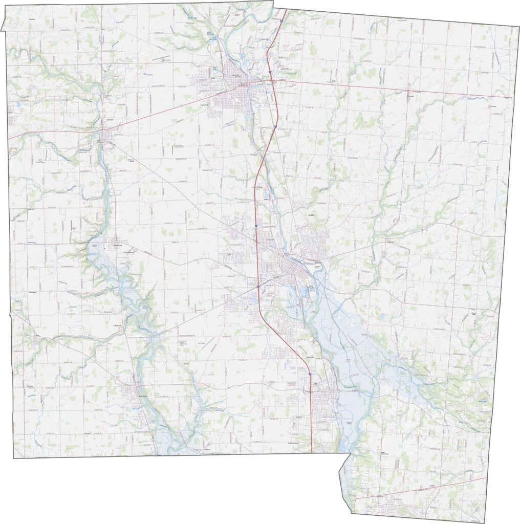
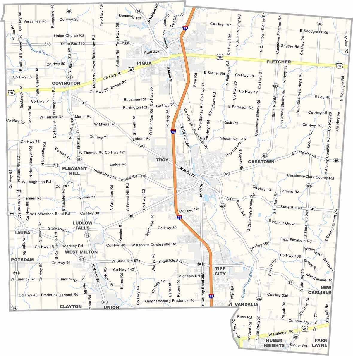
Miami County has solid highway access. Interstate 75 slices through from north to south, while U.S. Route 36 crosses it east to west for anyone going to Piqua. Though traffic slows near Troy, most stretches stay open. You can explore each road up close using our zoom tool.
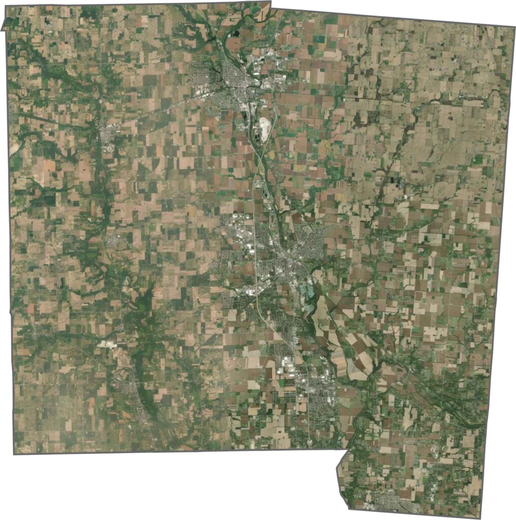
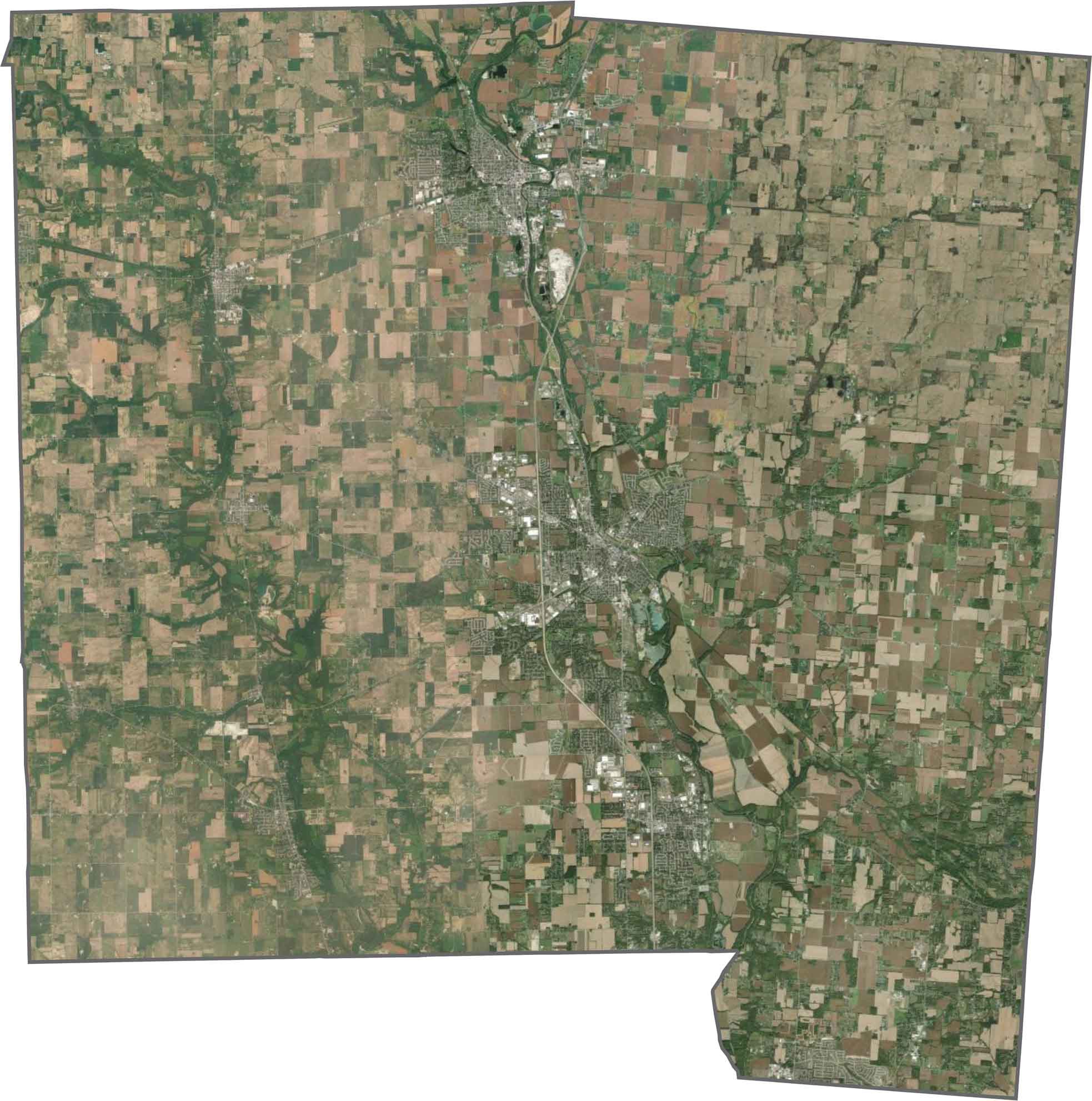
From the sky, a neat mix of town and farm fills the county. Troy and Piqua stand out in the center, but most of the map shows farm fields. Though the landscape looks mostly agricultural, river corridors and scattered woods add detail.
Miami County is shaped like a block with a bite taken out of the southwest. No rivers form its borders, and it doesn't touch another state. Though the edges are mostly straight, the Great Miami River curves through the interior and gives the name its meaning.









Forget the coast. Ohio’s 88 counties are where everyday America comes alive. No pretense, no postcard perfection—just hardworking towns and quiet backroads that grow on you. This is the Midwest without the filter.