
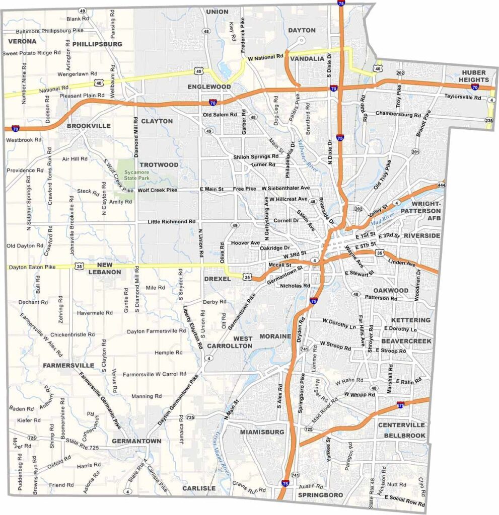
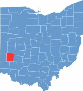
Dayton sits at the heart of Montgomery County in southwest Ohio. It's known as the birthplace of aviation. The Wright brothers called this place home, so innovation is in the county's DNA.
There's a mix of urban and suburban living here. The National Museum of the United States Air Force is the oldest and largest military aviation museum in the world. It's huge.
RiverScape MetroPark offers a green retreat in the city. The county has faced challenges but keeps reinventing itself. You'll find a diverse population here, and the Oregon District is a local hotspot for food and entertainment.
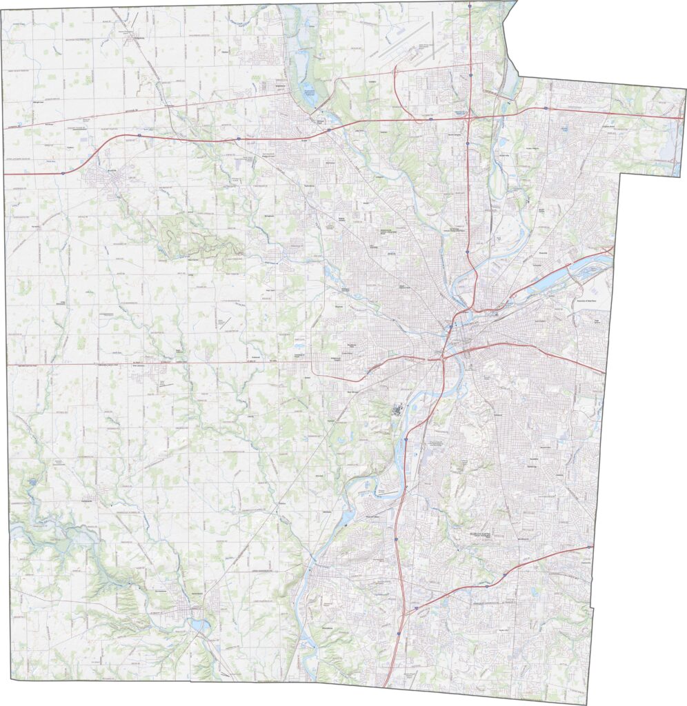
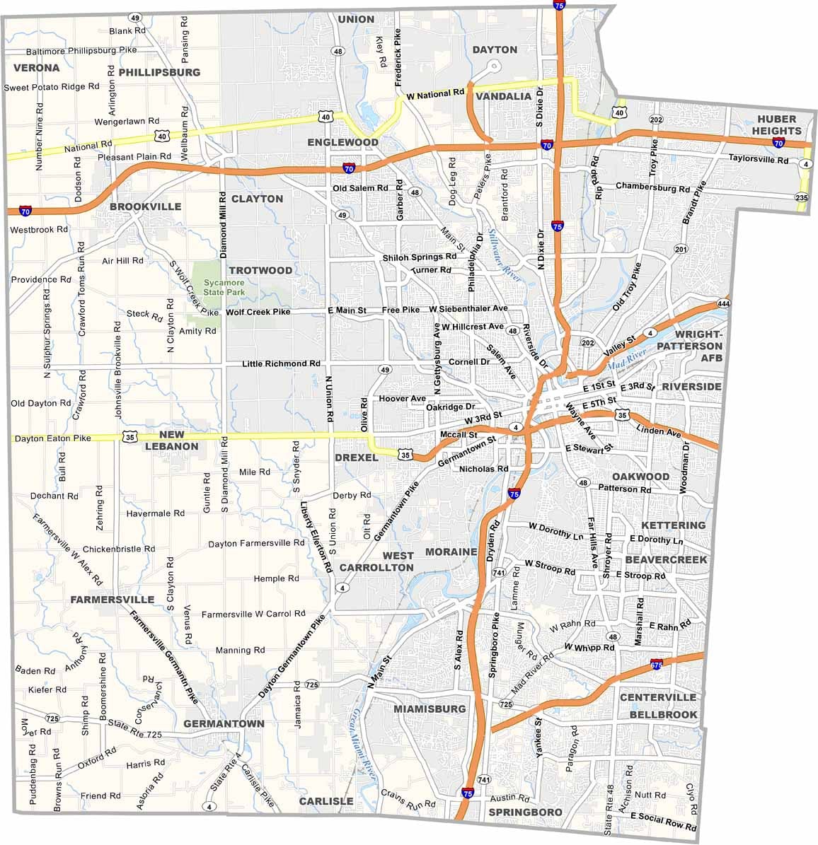
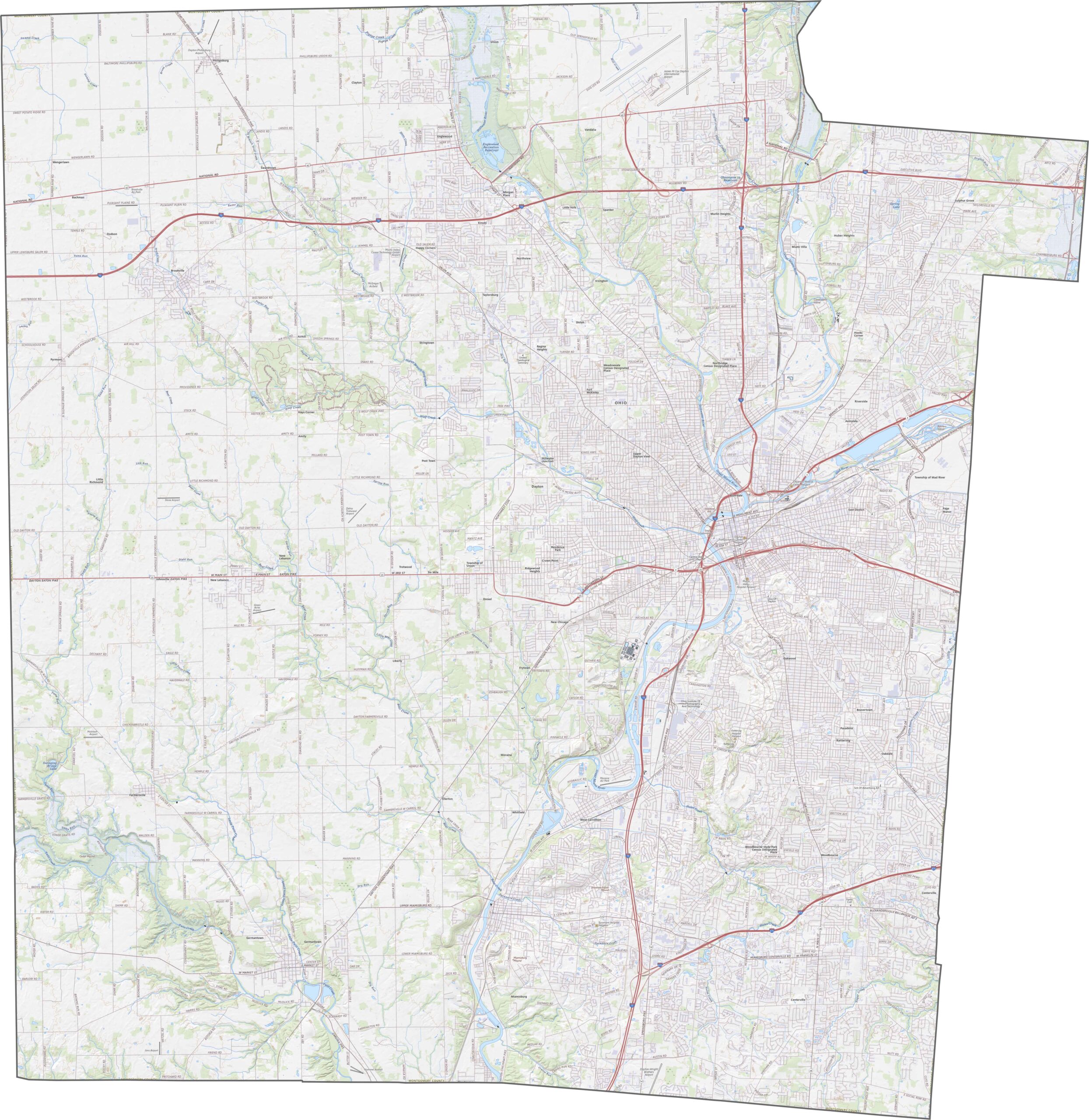
Montgomery County is a highway hub. Interstate 70 and Interstate 75 meet near Dayton, forming one of Ohio's busiest crossroads. U.S. Route 35 and U.S. Route 40 provide extra reach. Though rush hour around Dayton clogs things up, there's no shortage of alternate paths. With our zoom tool, you can track every mile of it.
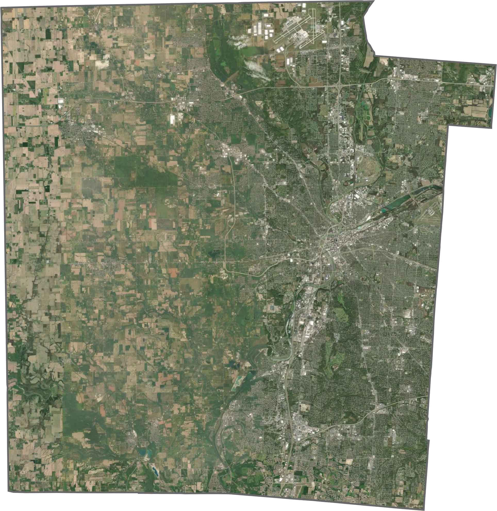
From above, Dayton dominates the middle. Highways, neighborhoods, and river bends all spiral out from the center. Though the urban footprint is large, you can still find green spaces along the edges. Farmland returns the farther out you go.
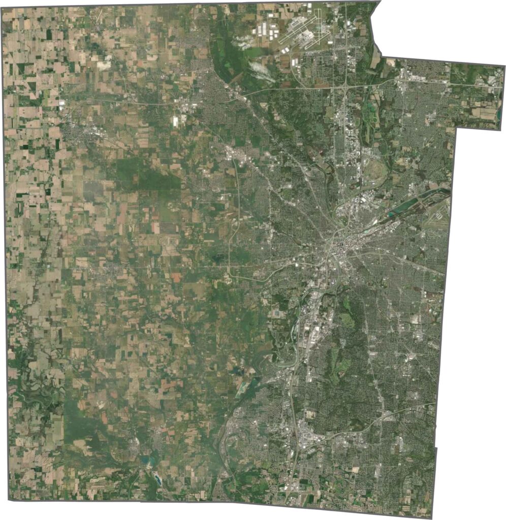
Montgomery County has an angular, geometric shape. The northeastern edge has a notch sticking out of it. Most borders follow clean survey lines, and since it's surrounded entirely by other Ohio counties, there are no state lines in sight.









Forget the coast. Ohio’s 88 counties are where everyday America comes alive. No pretense, no postcard perfection—just hardworking towns and quiet backroads that grow on you. This is the Midwest without the filter.