
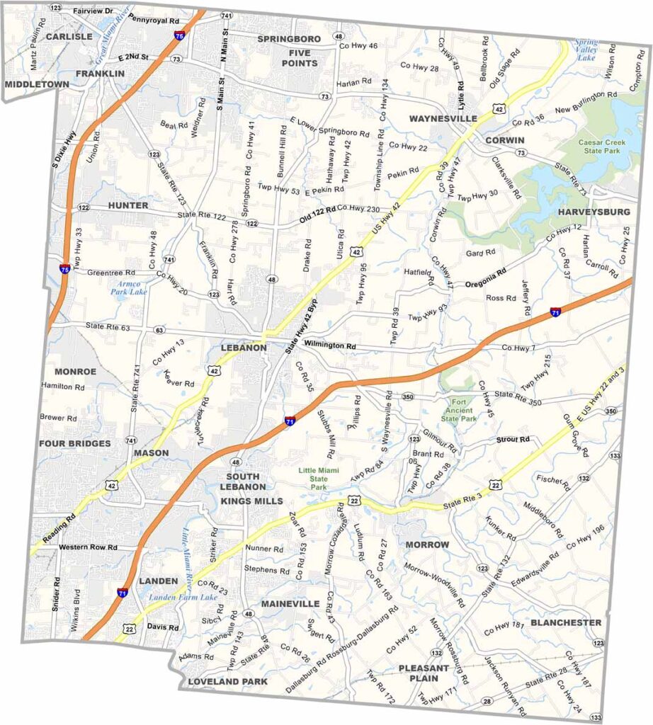
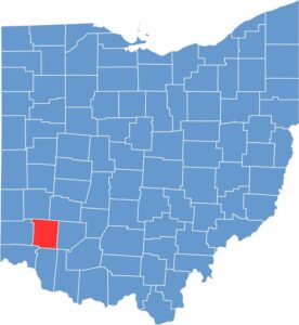
Warren County is located just northeast of Cincinnati, offering a mix of suburban comfort and rural charm. Kings Island, one of Ohio’s largest amusement parks, is located here, drawing thrill-seekers with its roller coasters.
The county is also known for its hot air balloon festival, when dozens of colorful balloons fill the sky. Lebanon serves as the county seat and features a quaint downtown filled with antique shops.
History runs deep here, as the county was once a stop on the Underground Railroad. Today, it’s one of Ohio’s fastest-growing areas, attracting people with its good schools and job opportunities.
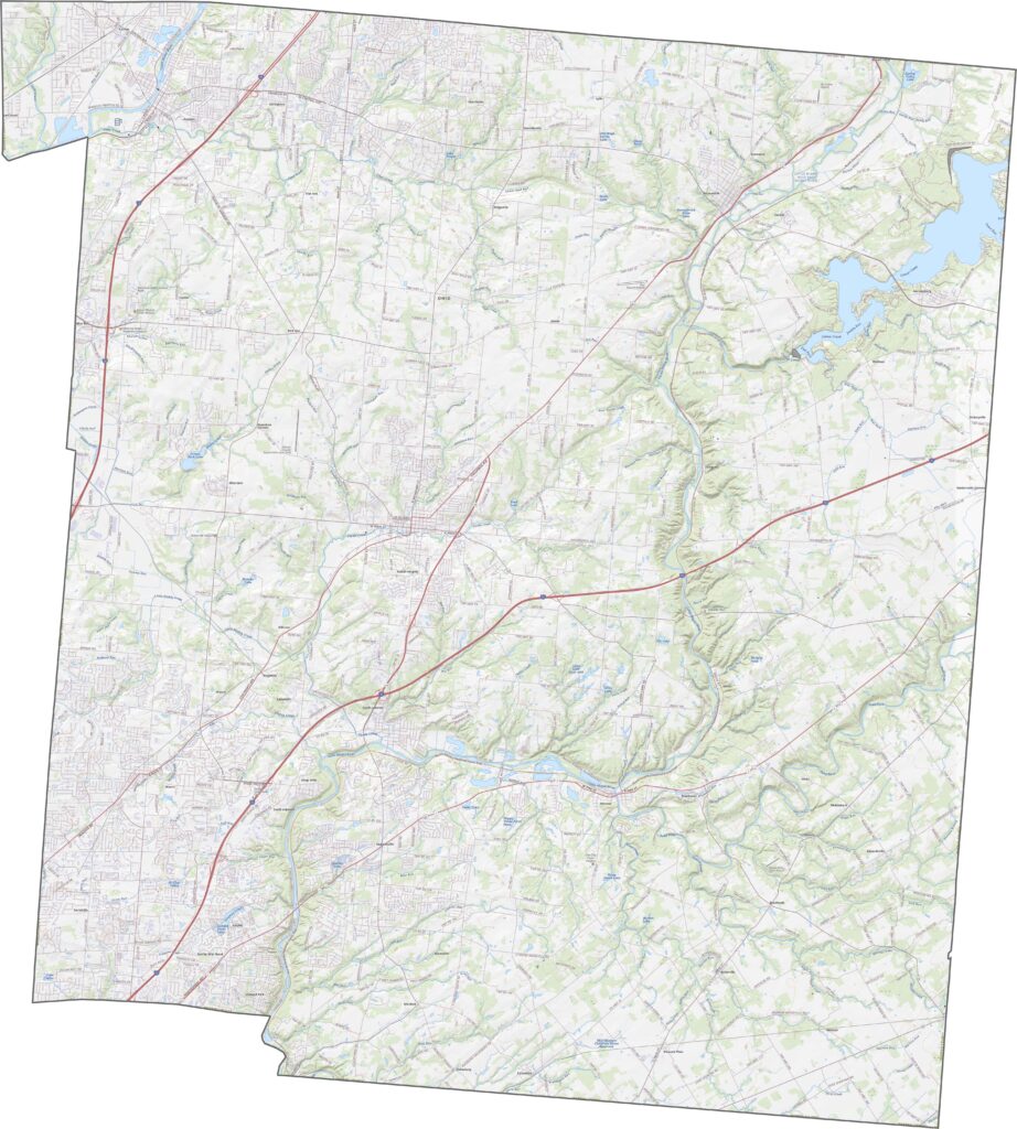
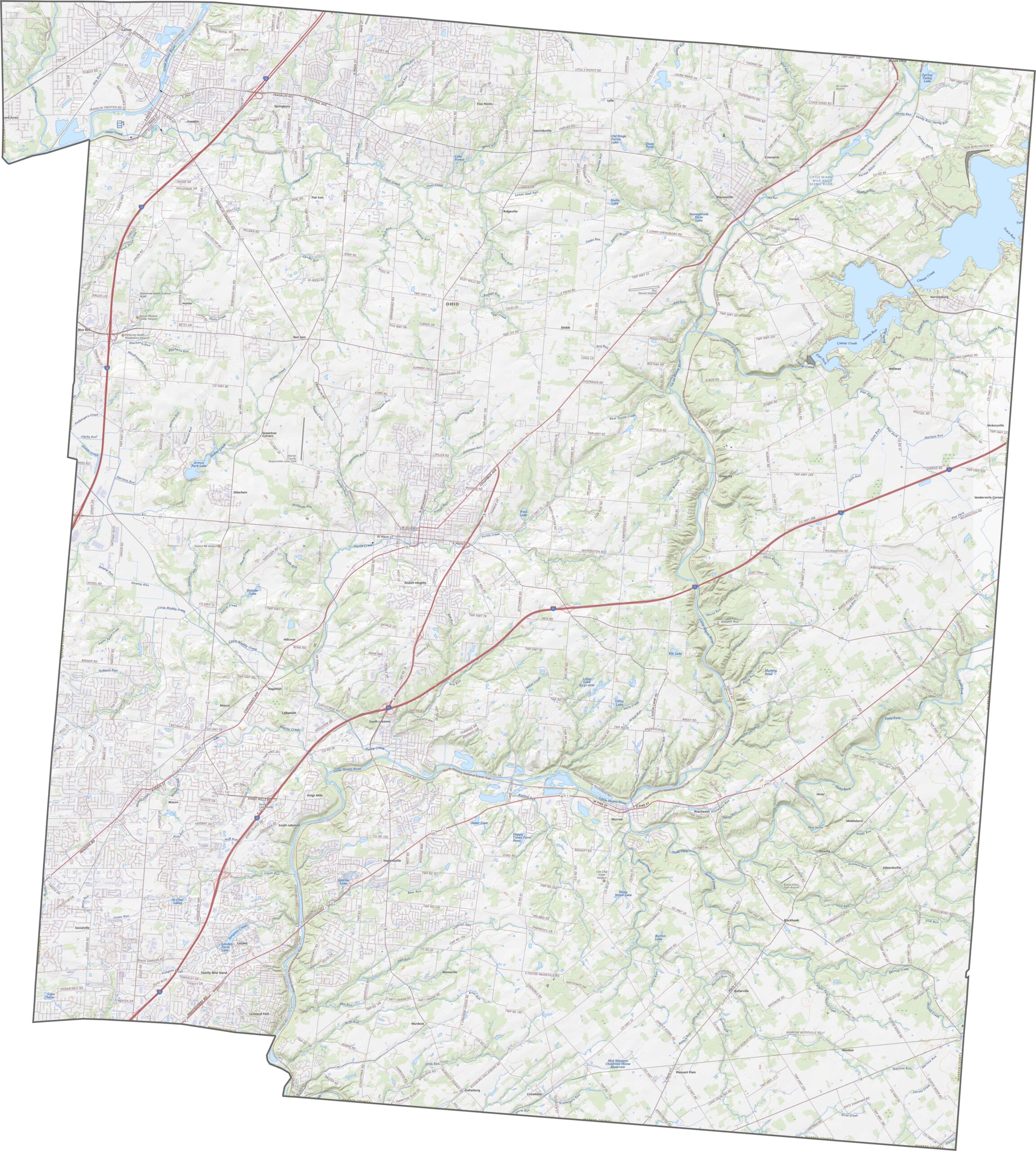
Warren County is well connected by major interstates and highways. Interstate 71 crosses the western side, while I-75 runs through the east. U.S. Route 42 cuts diagonally through the center. Our zoom tool below makes it easy to explore every twist and turn.
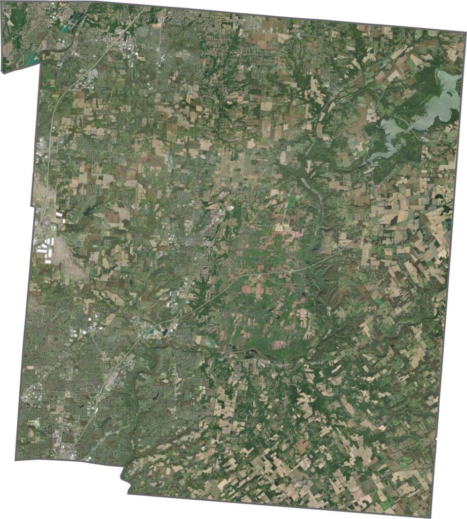
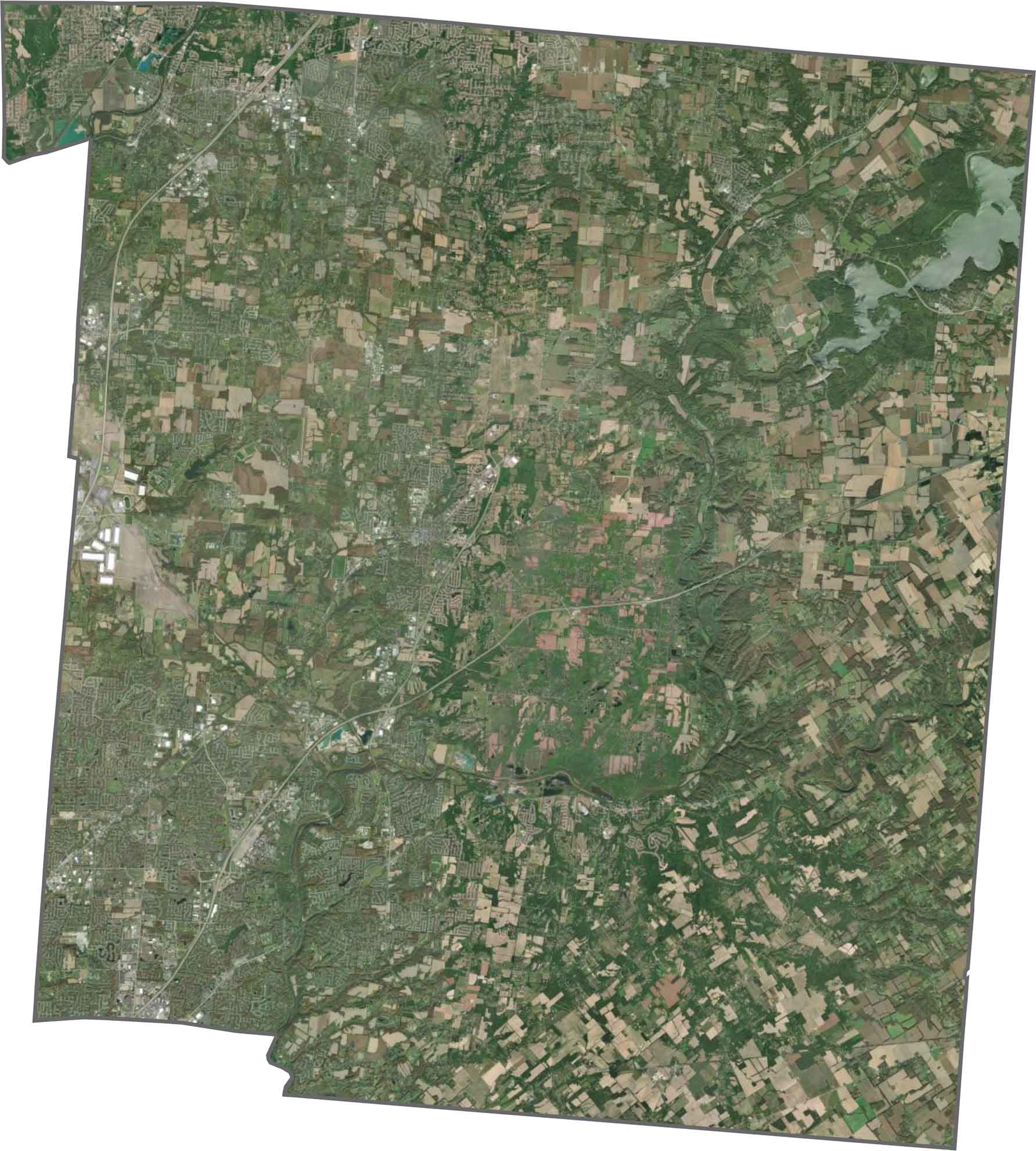
Mason and Lebanon account for much of the development in the center of the county. Even so, wooded areas and winding creeks remain easy to spot. The Little Miami River creates a dark green path across the satellite view.
Warren County has a somewhat lopsided outline. It does not border another state. The county’s boundaries are made up entirely of straight lines.










Forget the coast. Ohio’s 88 counties are where everyday America comes alive. No pretense, no postcard perfection—just hardworking towns and quiet backroads that grow on you. This is the Midwest without the filter.