
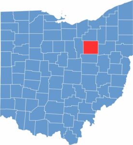
Wayne County sits in the northeastern part of Ohio. Amish buggies are a common sight here, as the county is home to one of the largest Amish communities in the world.
Wooster, the county seat, sits at the center of the county. It's home to the College of Wooster, known for its bagpipers. Orrville is famous as the home of Smucker's.
Agriculture is big here, and it's mostly dairy country. The Ohio Agricultural Research and Development Center does important work in the area. The county has a nice balance of rural and urban areas. It's a place where tradition and progress go hand in hand.
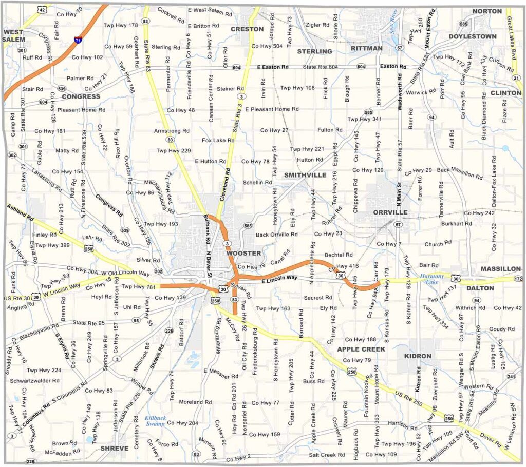
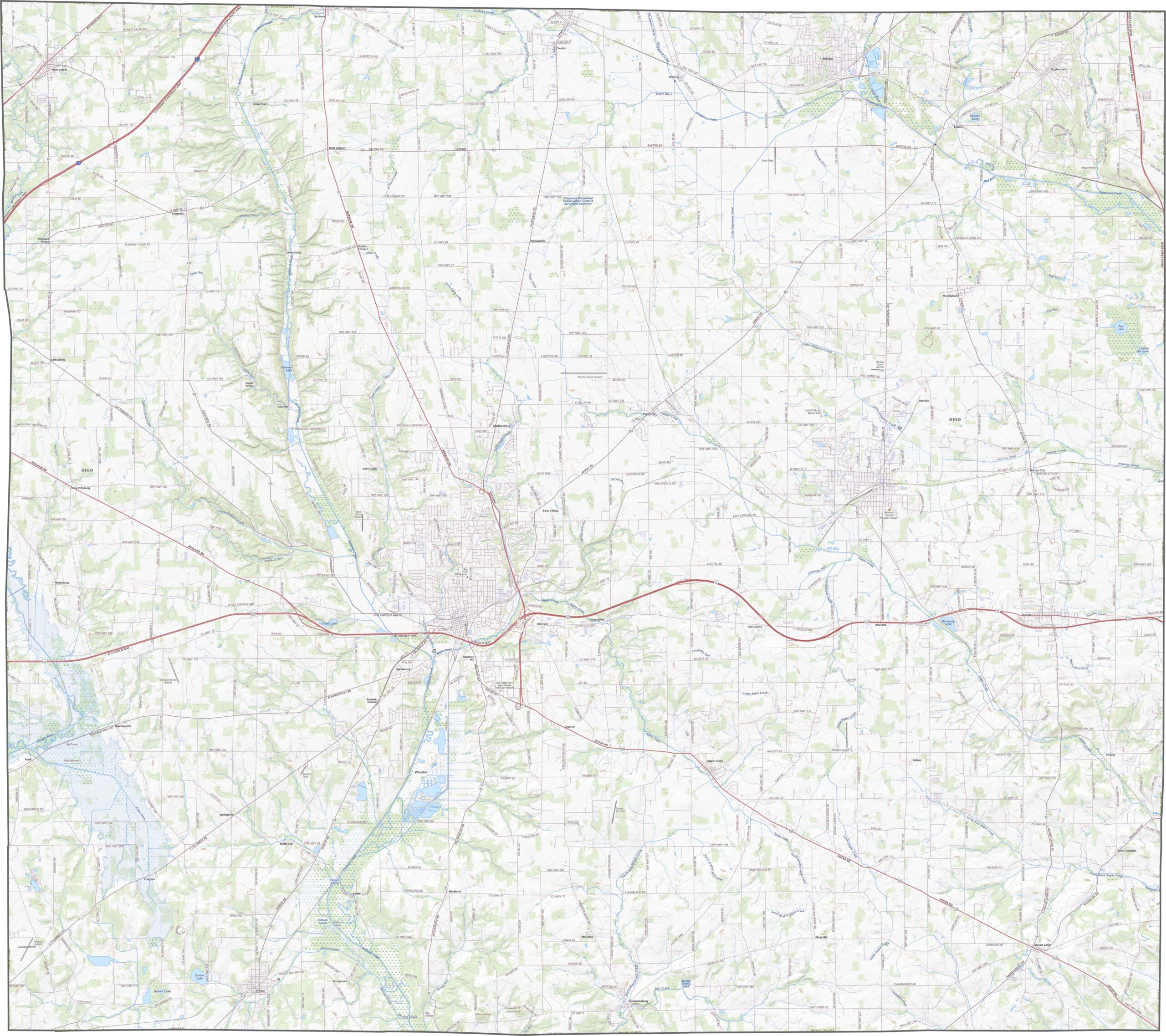
Wayne County is crossed by a solid mix of highways. Though there are no interstates, travel is still easy. But don't expect fast traffic in Amish country. Zoom in on our map to explore the road network.
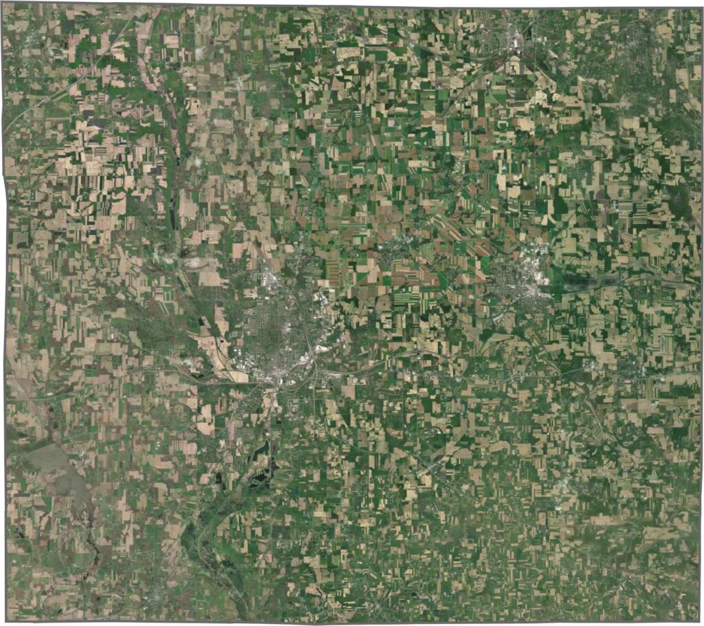
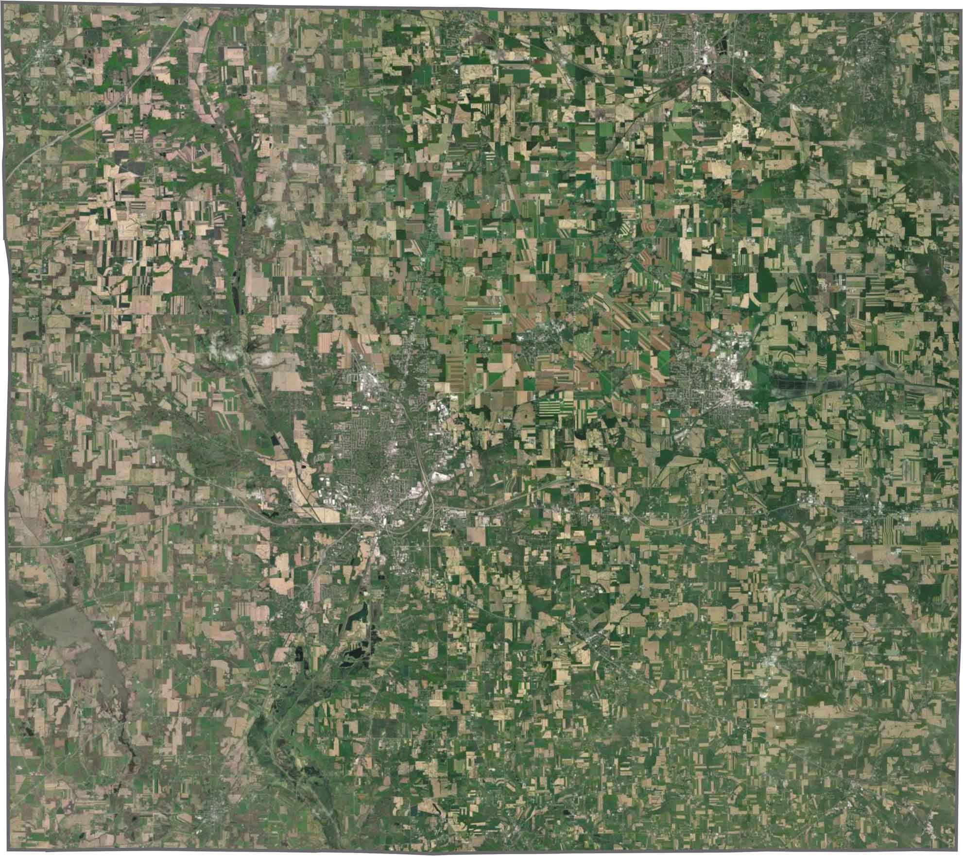
Wooster anchors the middle, surrounded by green. You'll spot countless farm plots and scattered woodlots. Though towns are sparse on the map, the rural footprint dominates.
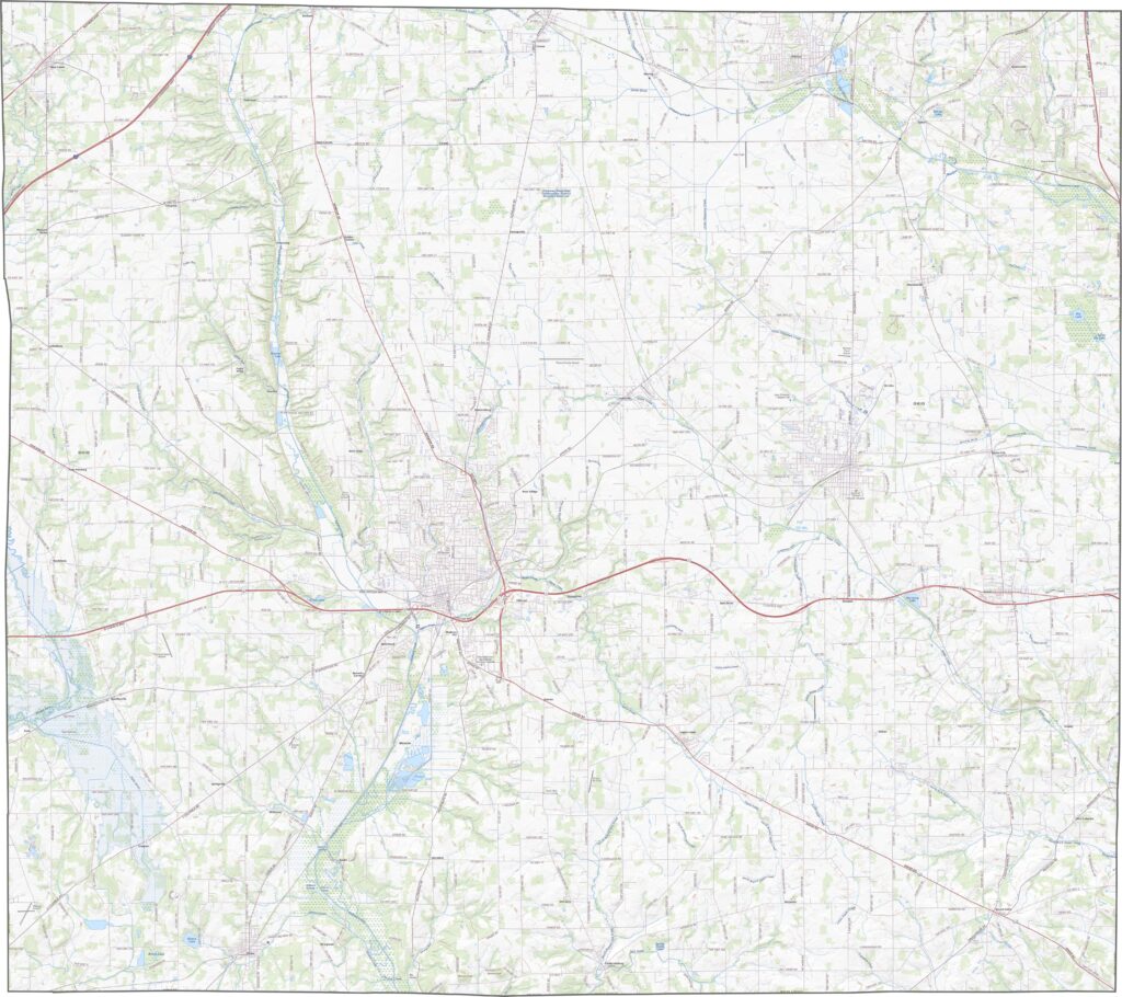
Wayne County's shape is squarish but not perfect. The borders mostly follow straight lines, though some edges wiggle a bit.










Forget the coast. Ohio’s 88 counties are where everyday America comes alive. No pretense, no postcard perfection—just hardworking towns and quiet backroads that grow on you. This is the Midwest without the filter.