
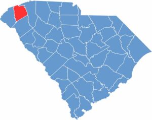
Pickens County is up in the northwest corner of South Carolina, where the Blue Ridge Mountains start to show off. Clemson University calls this county home, bringing a lively college-town vibe.
Table Rock State Park is a hiker's paradise. The county is named after Revolutionary War hero Andrew Pickens, and you can still see his 18th-century home, Hopewell.
Locals are crazy about their high school football, and the Pickens Azalea Festival draws crowds every spring. Pickens County is perfect for those who love fresh mountain air and friendly faces.
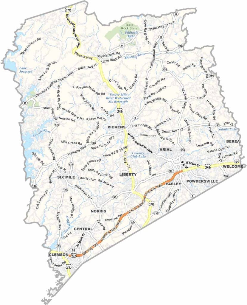
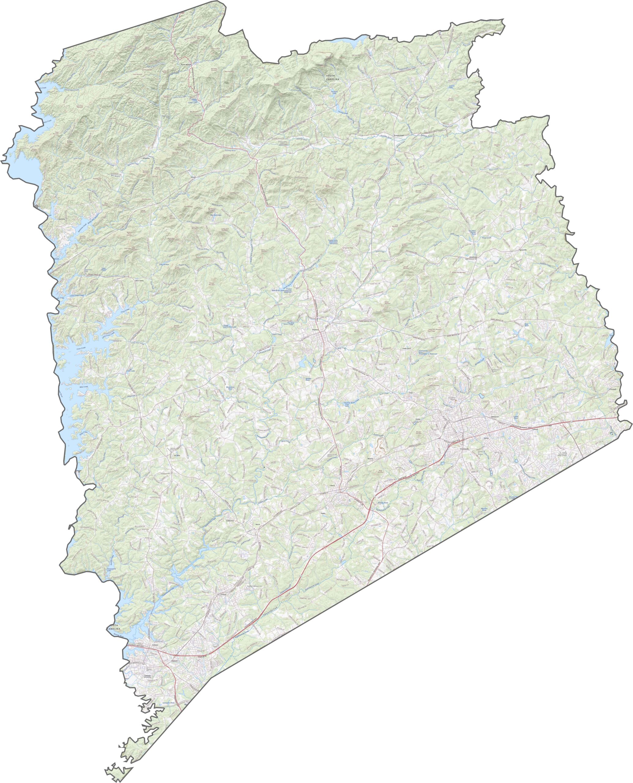
Pickens County's roads work their way up and around the terrain. In the south, routes are smoother and better connected. U.S. Highway 178 and U.S. Highway 123 (John C. Calhoun Memorial Highway) are two main highways here. You can zoom in to see the entire road map below.
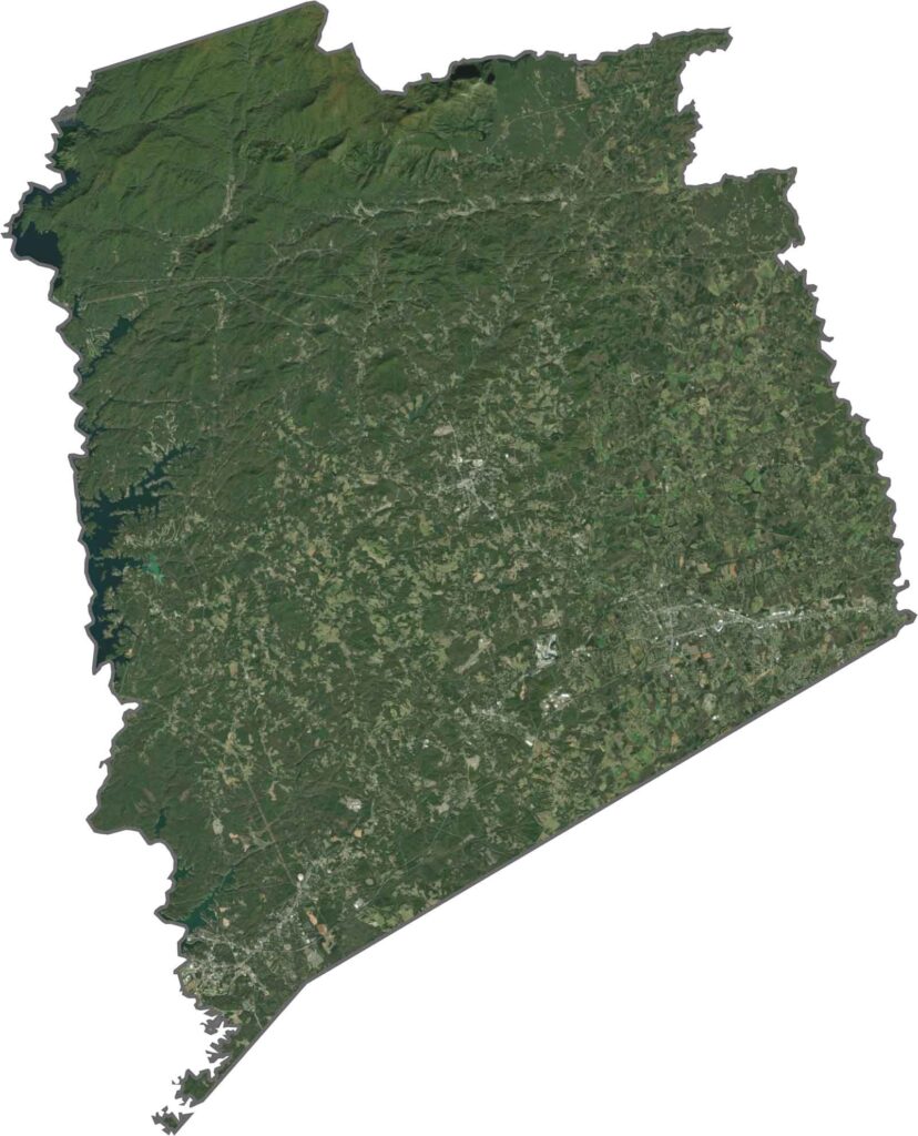
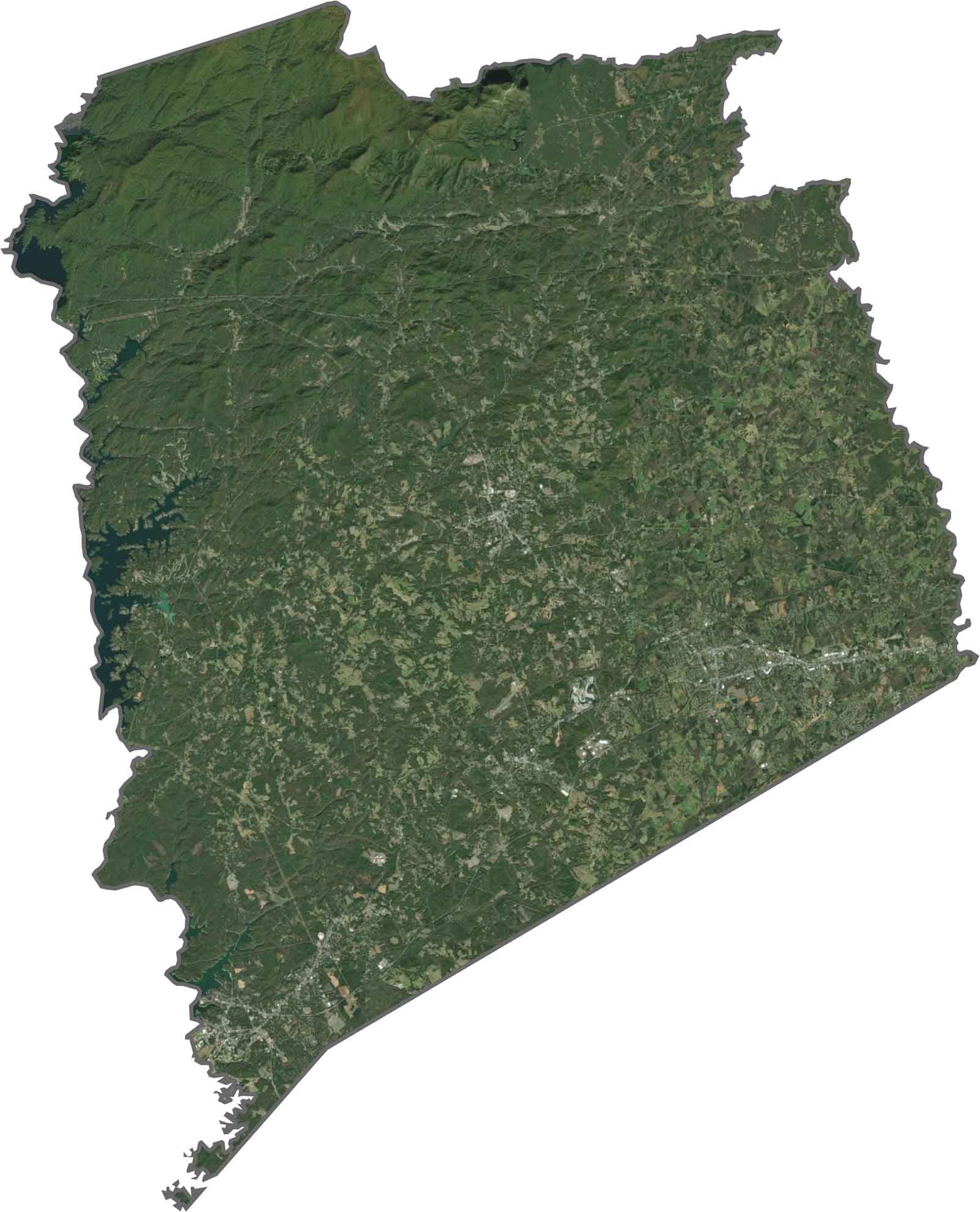
Forests dominate most of the view, especially up north. The city of Easley stands out in the south, along with some farmland and development nearby. There are several notable lakes and rivers here, like Lake Jocassee and the Keowee River. The mountains give it a texture that's hard to miss.
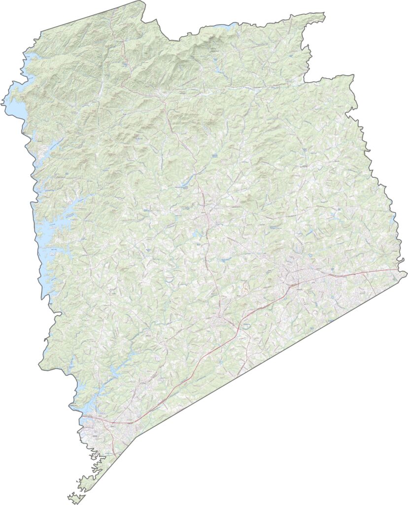
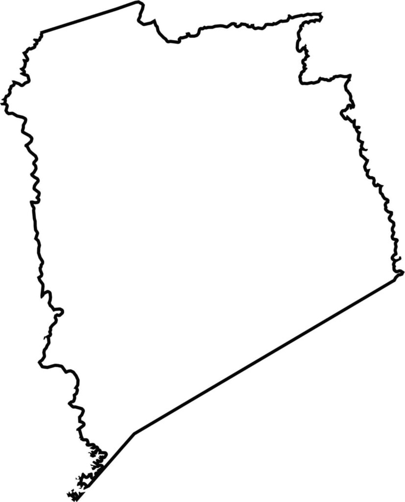
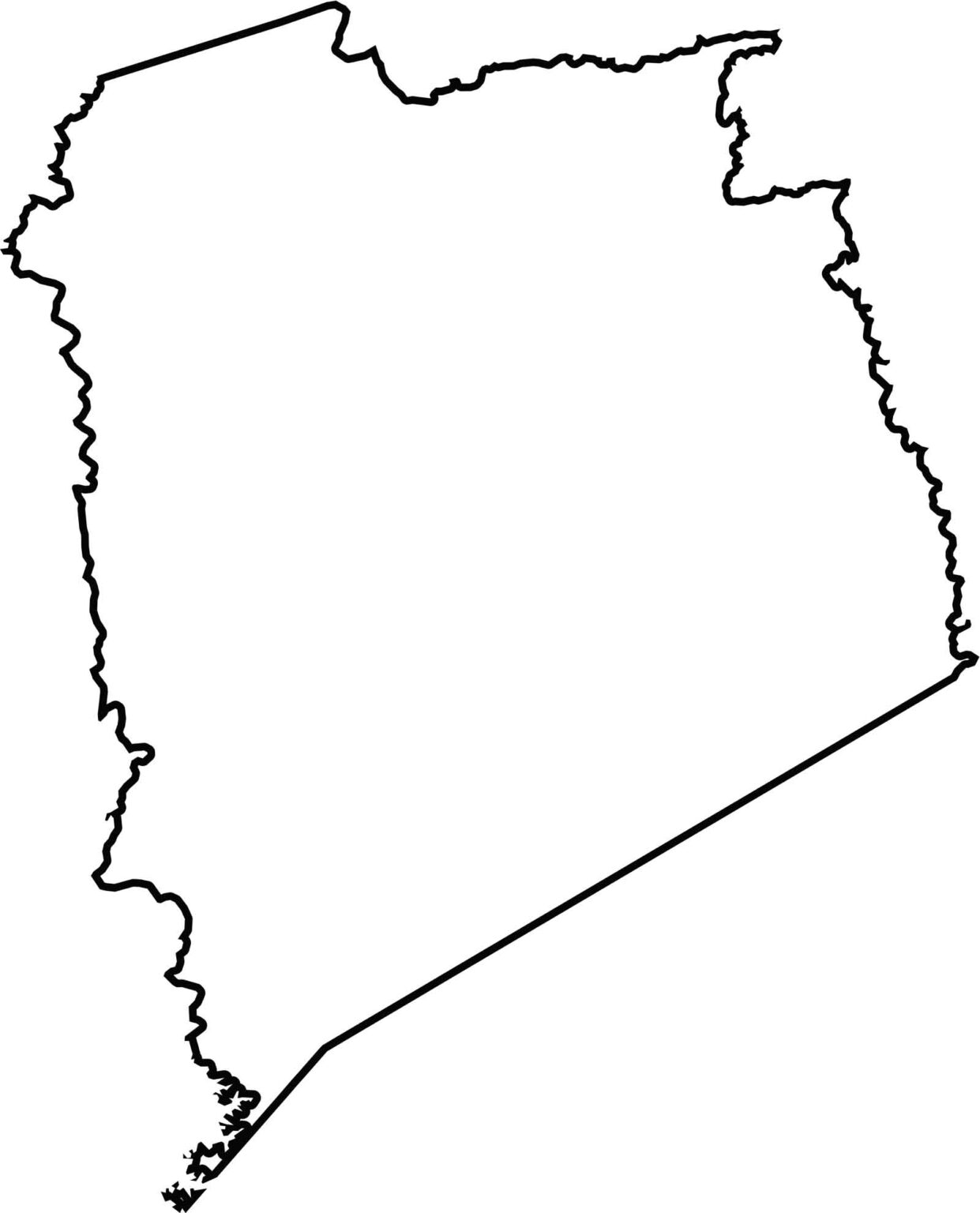
Pickens County looks like a chunky triangle with borders that aren't the smoothest. Its top edge borders North Carolina, and the Blue Ridge Mountains form part of that line.







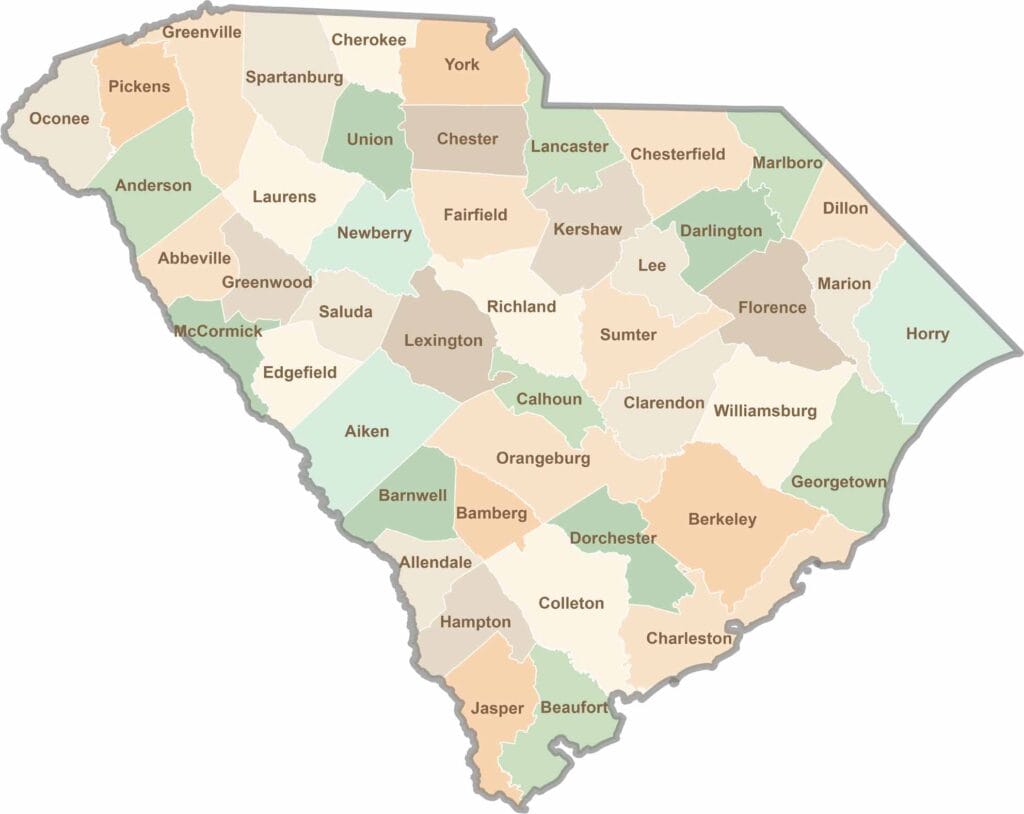
South Carolina’s 46 counties each have their own personality. Some are all about beach vibes, while others are steeped in history. You’ll find gators, grits, and gospel here—sometimes all in the very same afternoon.