
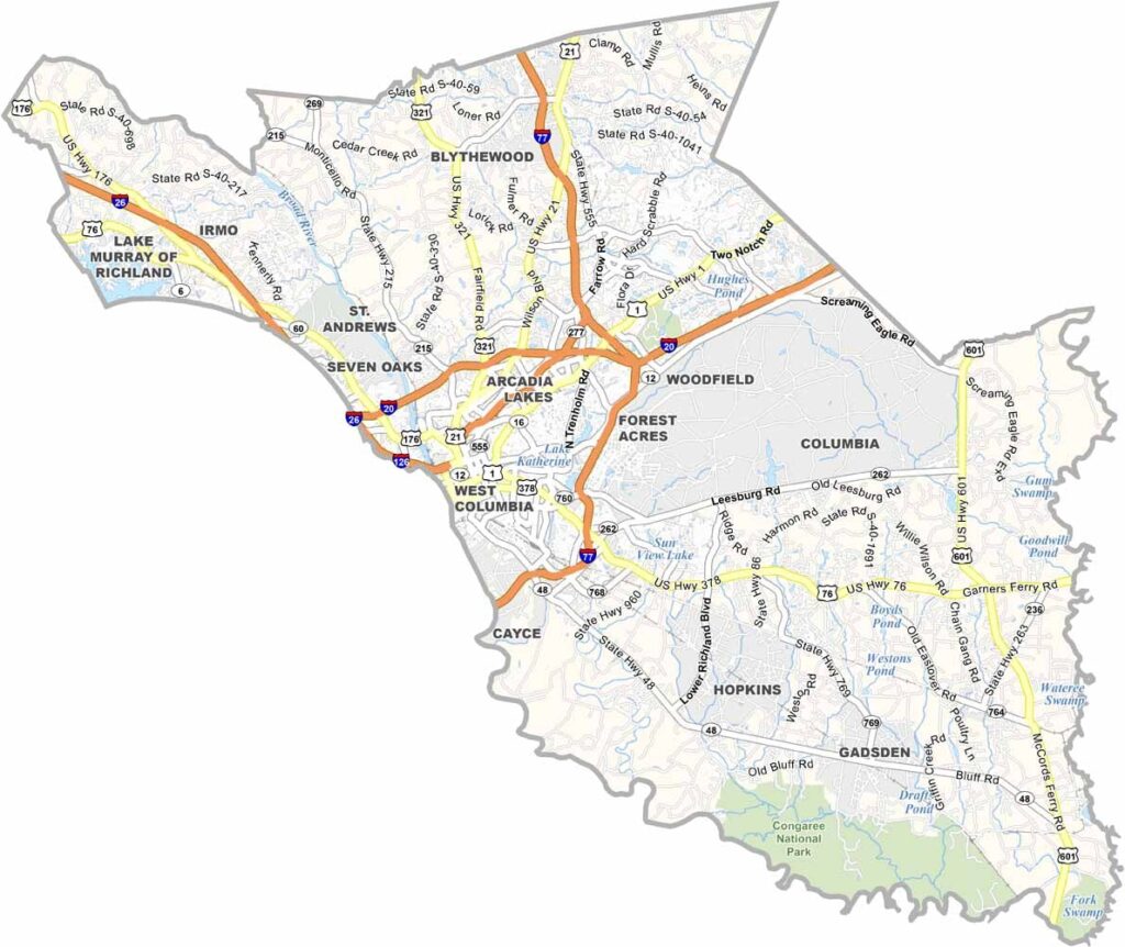
Richland County sits right in the geographic center of South Carolina. It's home to Columbia, the state capital, and the Broad River runs right through it. Fort Jackson, the largest initial entry training center in the U.S. Army, is located here.
The University of South Carolina gives the area a youthful energy. You can't miss the State House with its distinctive copper dome, and locals love the nearby Columbia Museum of Art.
Congaree National Park hugs the southern border, perfect for nature lovers. The county has a mix of urban buzz and natural beauty. It's a place where history, politics, and culture collide in the best way possible.
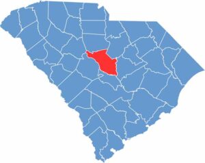
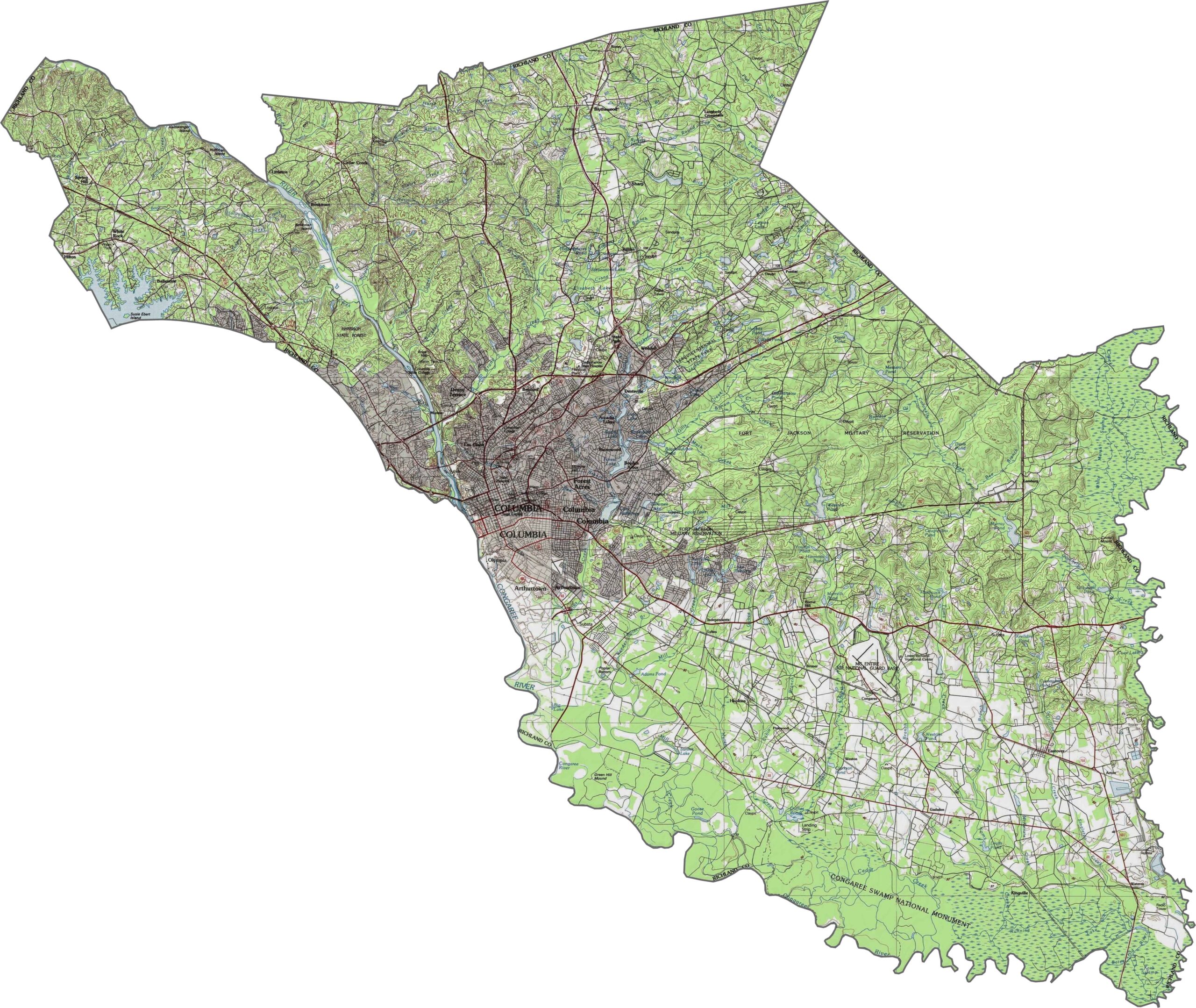
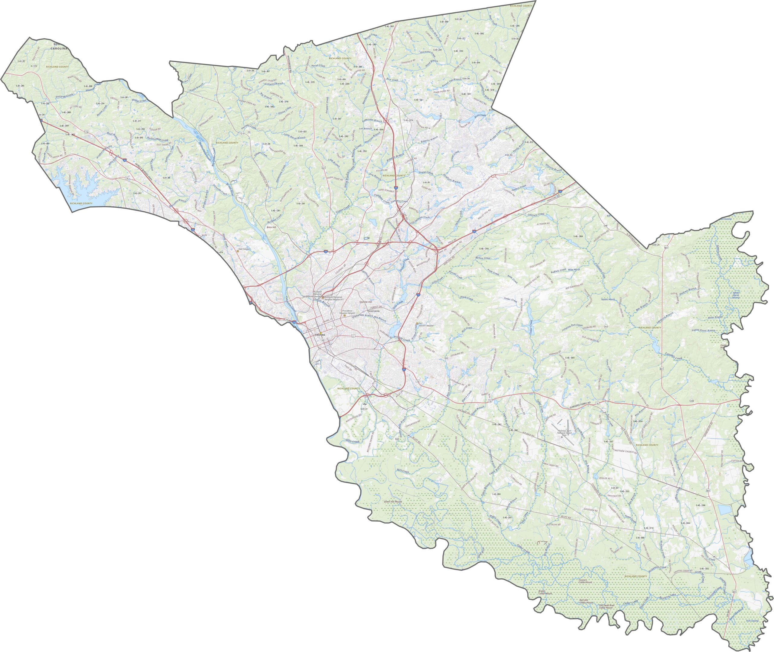
Richland County rolls through the Midlands, with a gradual rise to the north and a slow drop to the south. It's not dramatic terrain, but the land has a steady diet of hills and shallow valleys. Rivers like the Broad River slice through, adding some low ridges. Zoom in to see the full road map for yourself.
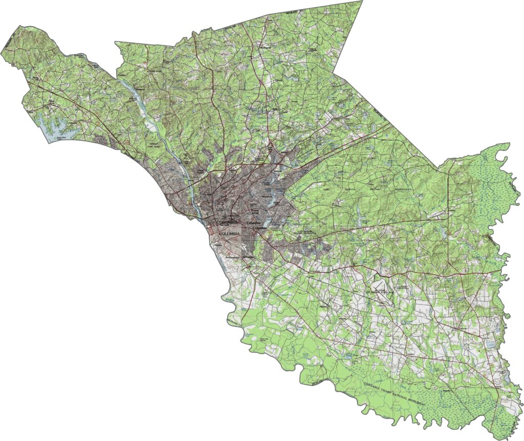
Richland County's road network is packed. Major routes crisscross the county, especially around Columbia. Though traffic can get heavy near downtown, bypasses help redirect the flow. Interstate 20, Interstate 26, Interstate 77, Interstate 126, U.S. Highway 1, and many more serve the area. Outlying areas are quieter, but they're still fairly well connected.
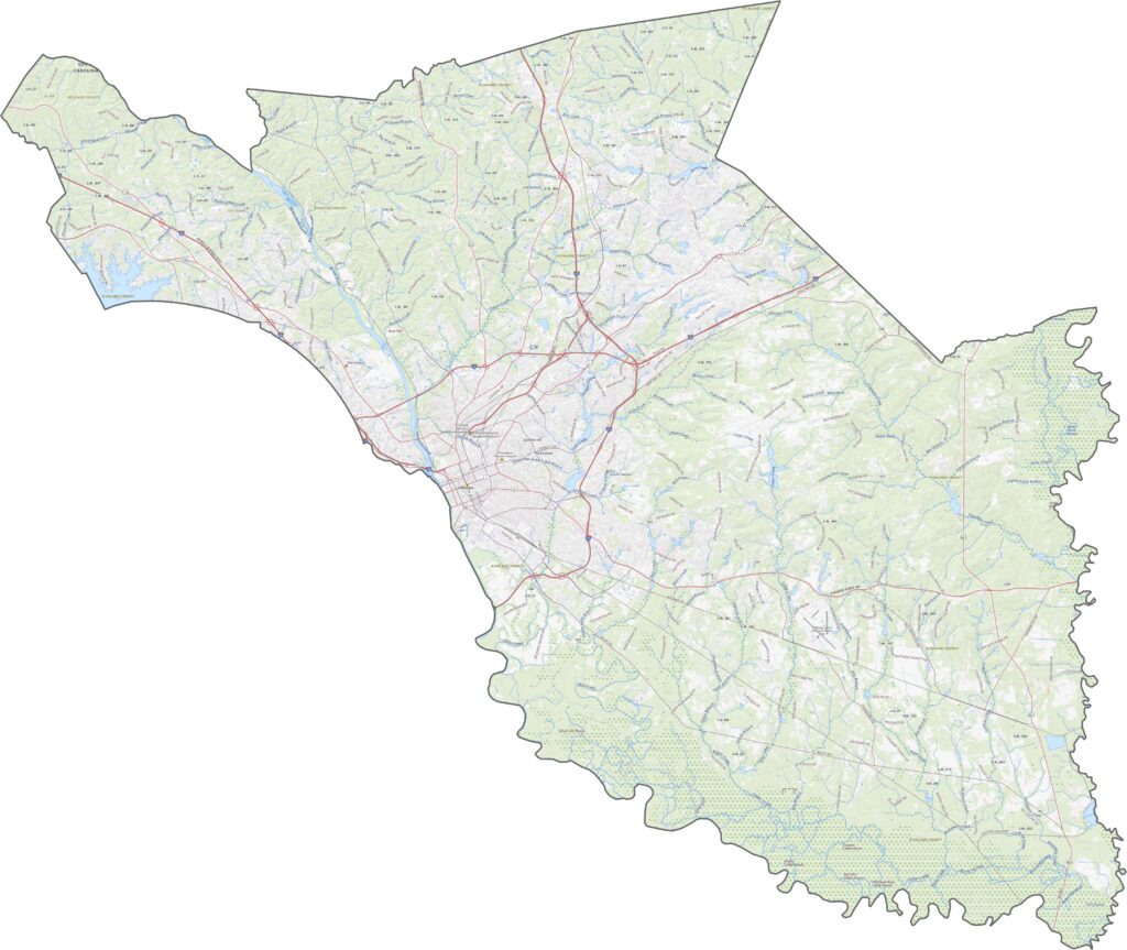
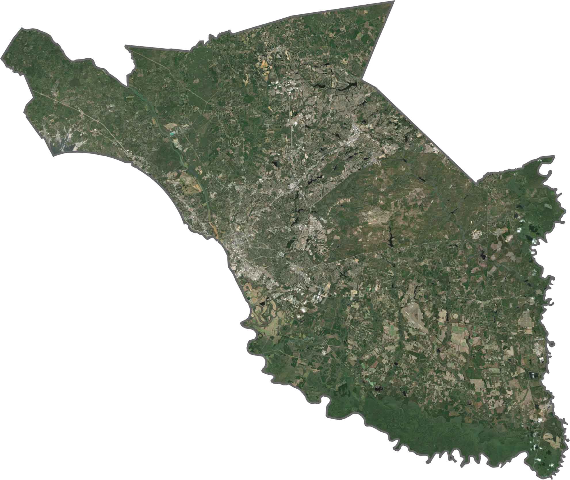
The city center lights up in our satellite map with a tight cluster of rooftops and roads. Suburban sprawl pushes outward in all directions, but forests and lakes still claim space on the outside.
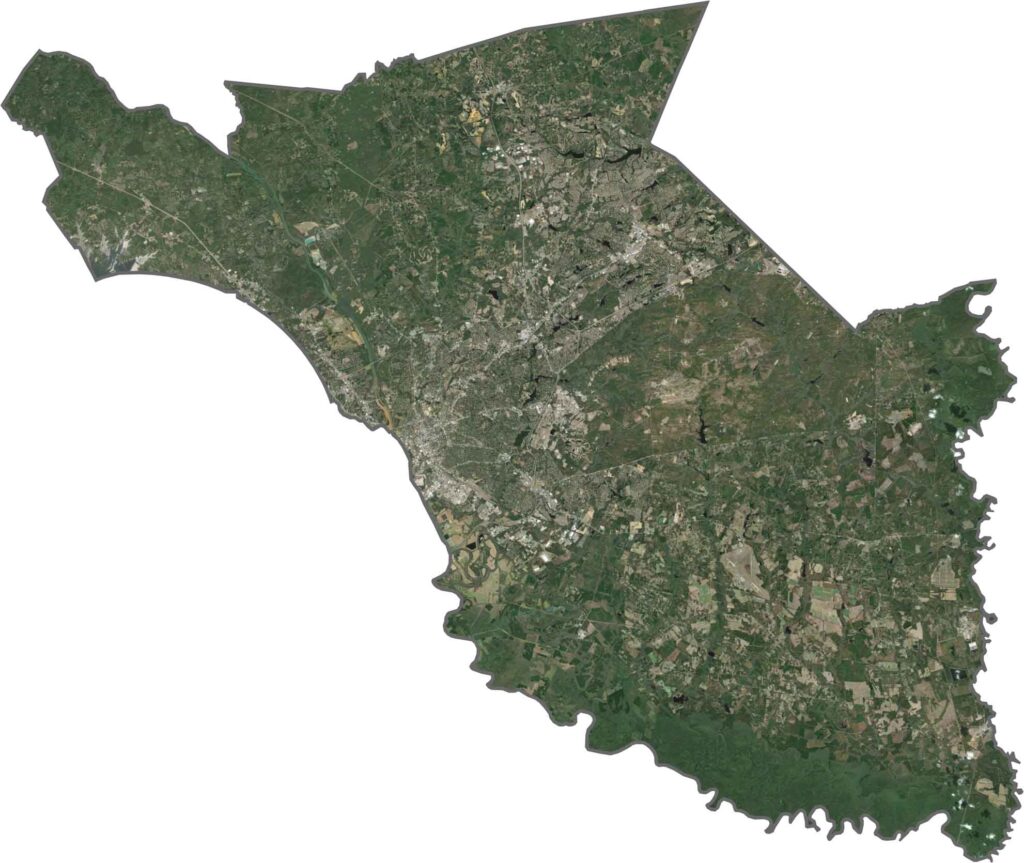
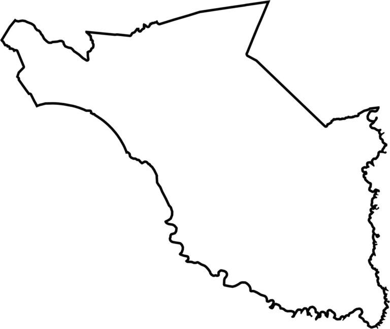
Richland County's shape is a tall, uneven block with several jagged edges. The southern border hugs the Congaree River, and the Wateree River forms the eastern boundary. The county is landlocked, sharing borders with six other South Carolina counties.








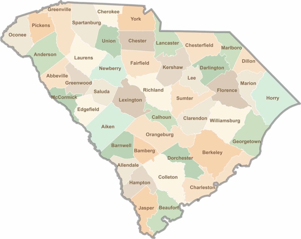
South Carolina’s 46 counties each have their own personality. Some are all about beach vibes, while others are steeped in history. You’ll find gators, grits, and gospel here—sometimes all in the very same afternoon.