
The rolling hills of the Upstate region are home to Spartanburg County, a place where old meets new in the best ways. The county is home to seven colleges.
Folks take their high school football seriously around these parts, and on fall weekends the air is filled with the sound of cheering. It's either that or the huge BMW plant making some noise.
Croft State Park is a favorite spot for hikers and campers. The county has its own airport too, which is pretty fancy for a place that still feels like home. Spartanburg County is the kind of place where you can build a life, not just make a living.
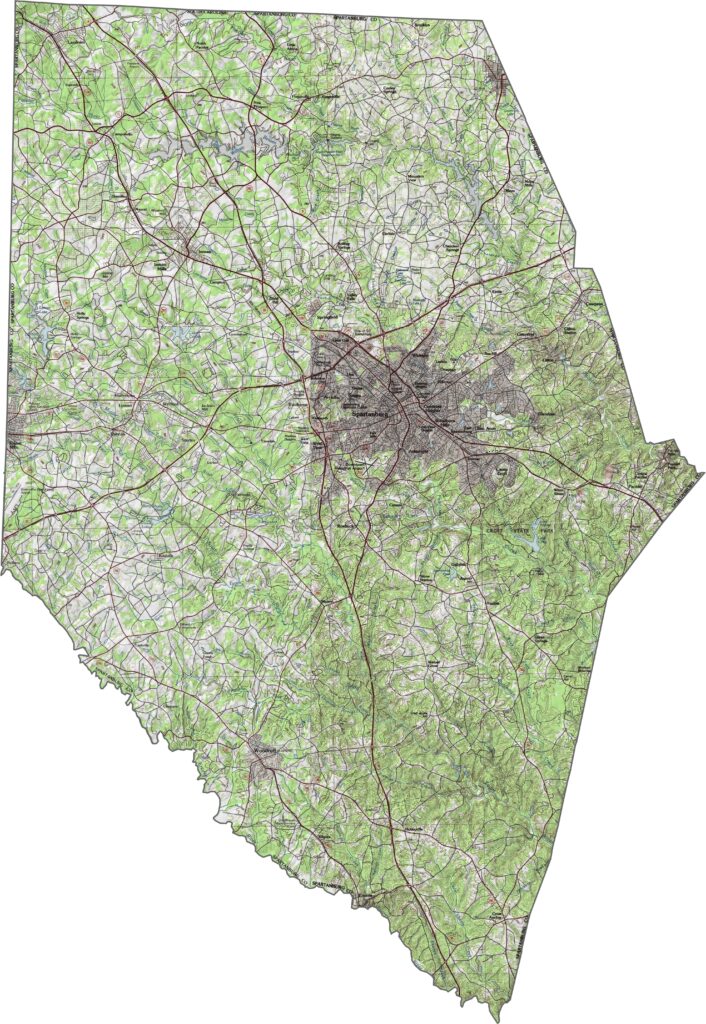
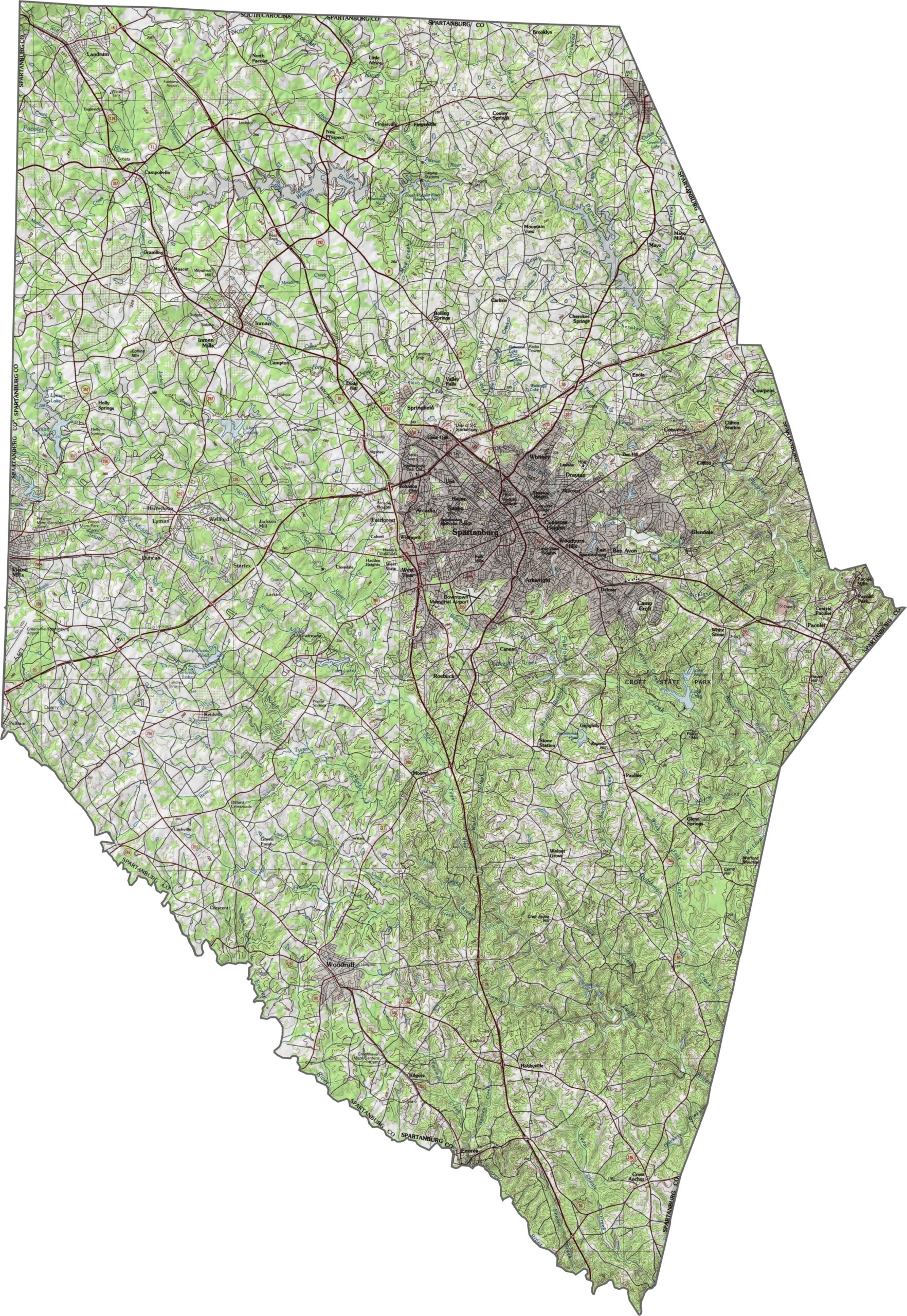
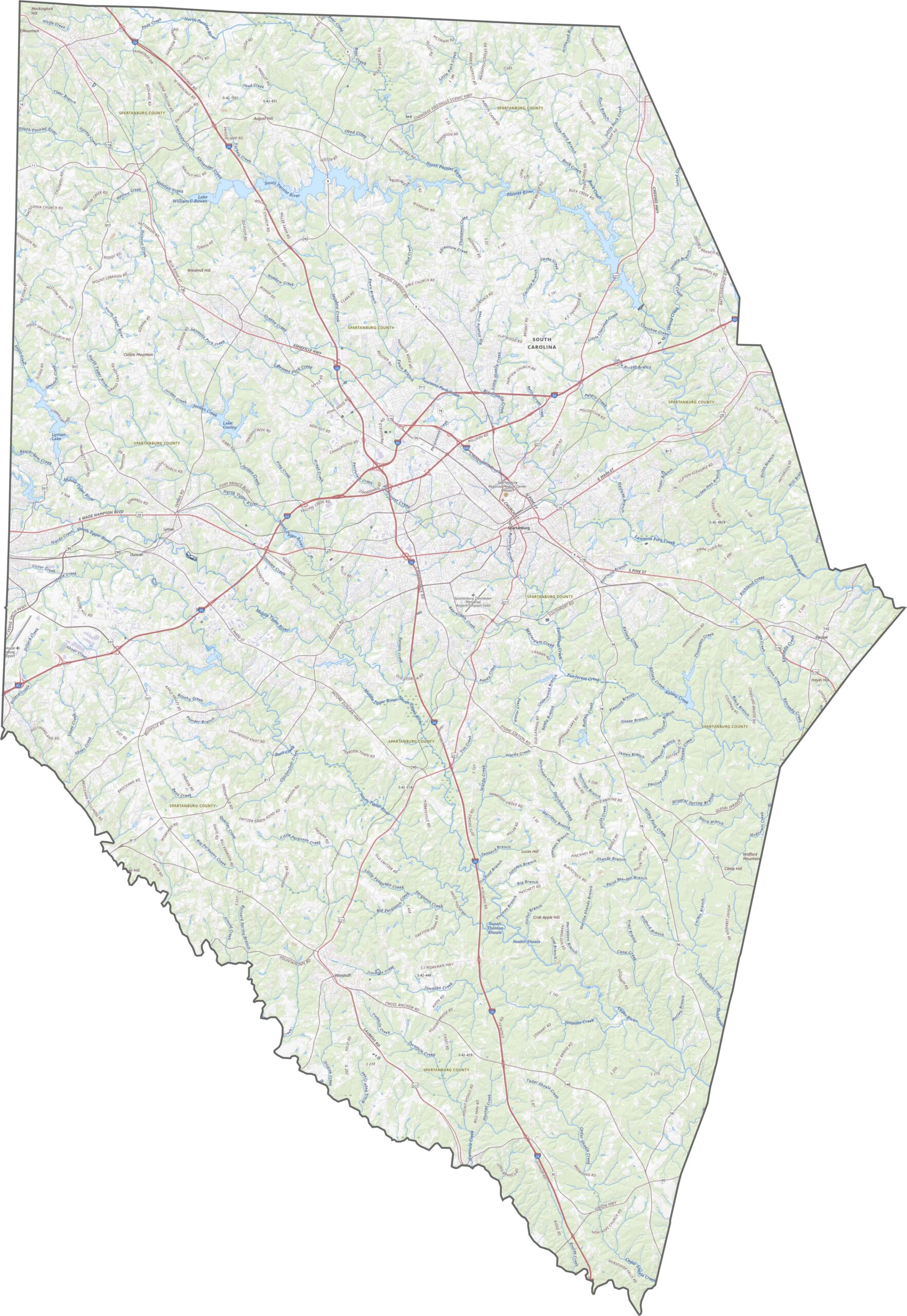
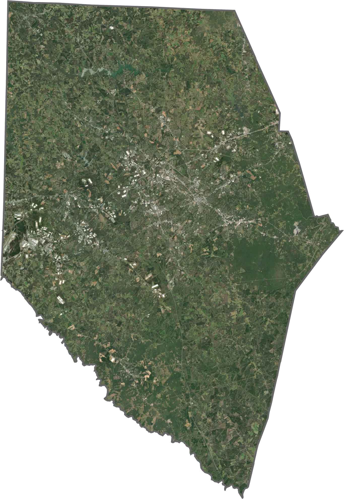
The terrain here is classic Piedmont, with rolling hills and some sharper ridges to the north. Elevation climbs steadily as you approach the Blue Ridge foothills. It's varied but not wild. Use our zoom tool below to get a clearer picture.
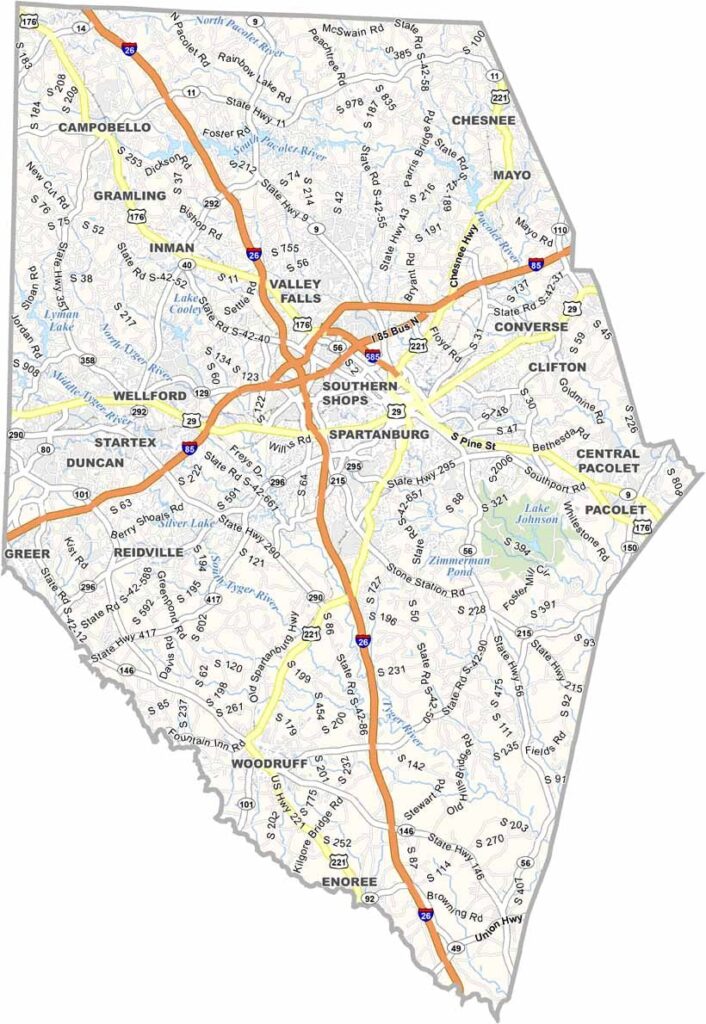
Spartanburg County's roads mean business, with major highways running in all directions. While Interstate 25 runs north-south, Interstate 85 carries traffic east-west. You'll find straight stretches, winding backroads, and everything in between.
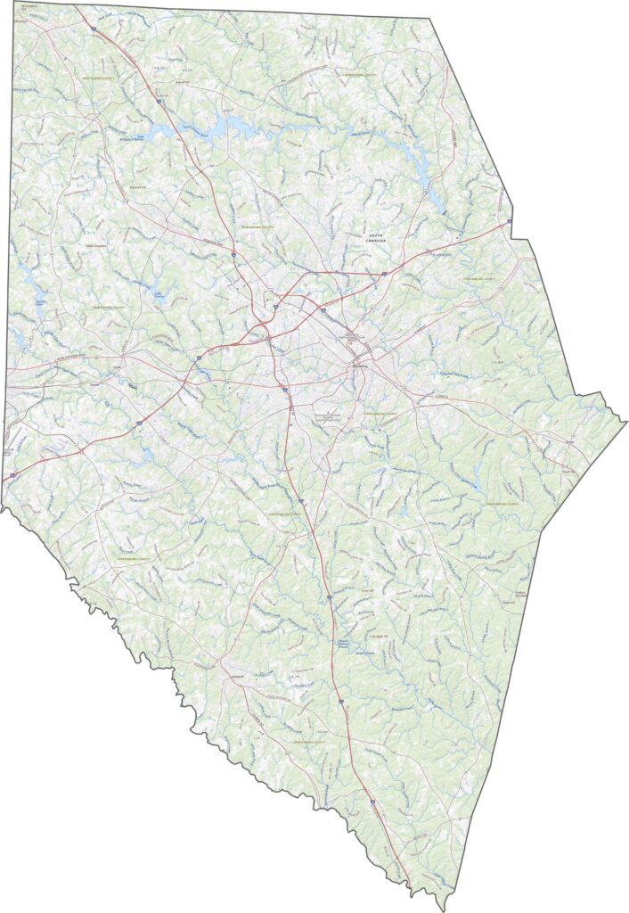
Industrial zones, suburbs, and green hills mix together in our satellite imagery. Urban areas cluster around Spartanburg, while wooded areas fill in the rest. Farmland pops up in certain spots, especially in the eastern half.
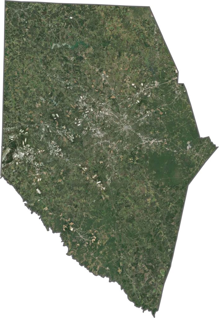
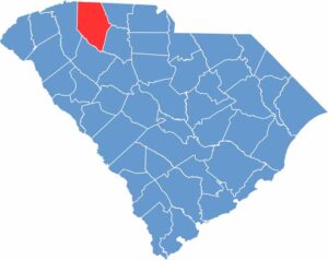
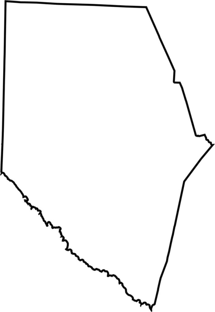
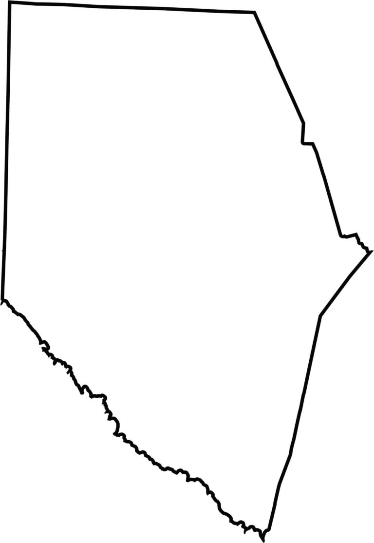
Spartanburg County has a blocky shape and a triangular bottom. Its northern edge touches North Carolina. Most borders are straight, but a few follow creeks and natural features. It's one of the larger counties in the state and easy to spot on a map thanks to its position and size.







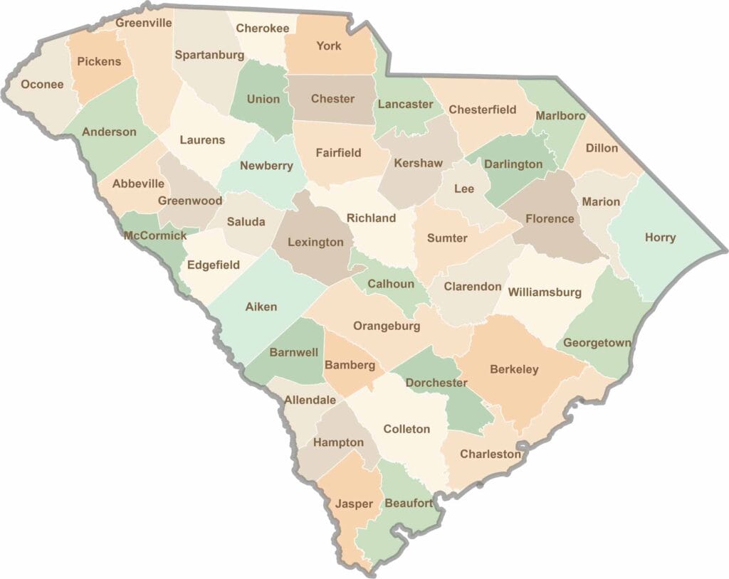
South Carolina’s 46 counties each have their own personality. Some are all about beach vibes, while others are steeped in history. You’ll find gators, grits, and gospel here—sometimes all in the very same afternoon.