
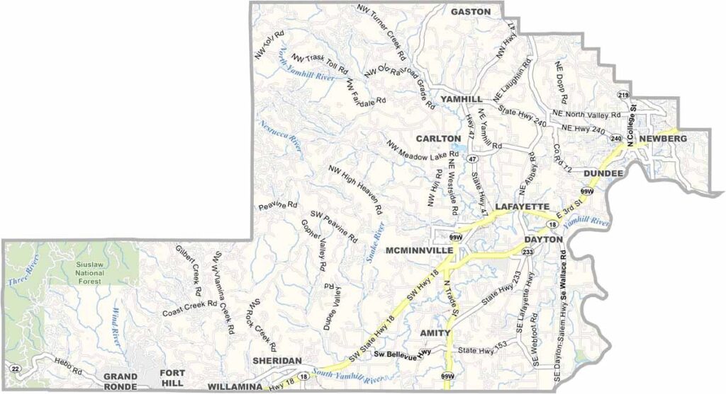
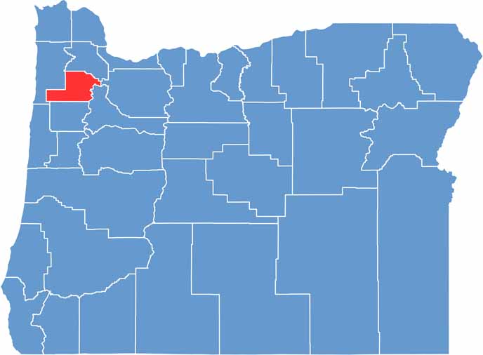
Yamhill County sits in northwest Oregon, basically where Portland hipsters go to make wine. It's in the northern Willamette Valley, about an hour southwest of the city.
Rolling hills covered in vineyards? Check. Quaint small towns like McMinnville and Newberg? You bet. But it's not all Pinot Noir and tasting rooms, because there's serious agriculture here, like berries and hazelnuts.
The Spruce Goose, Howard Hughes' massive wooden plane, lives in McMinnville's aviation museum. The Willamette River forms the county's eastern border. It's a place where farm and city culture collide, in the best way possible.
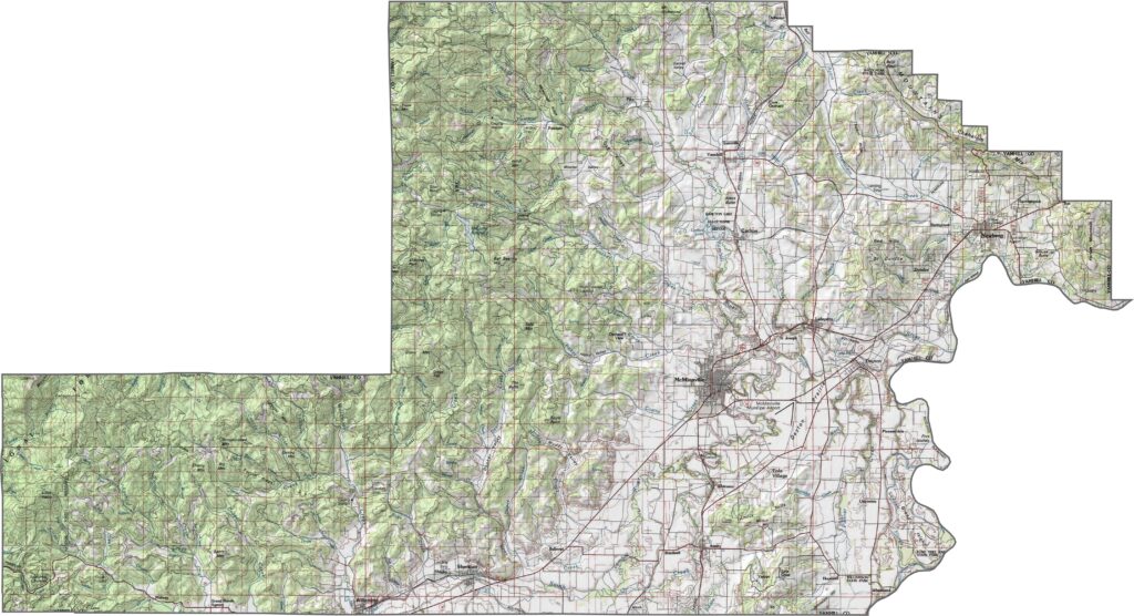
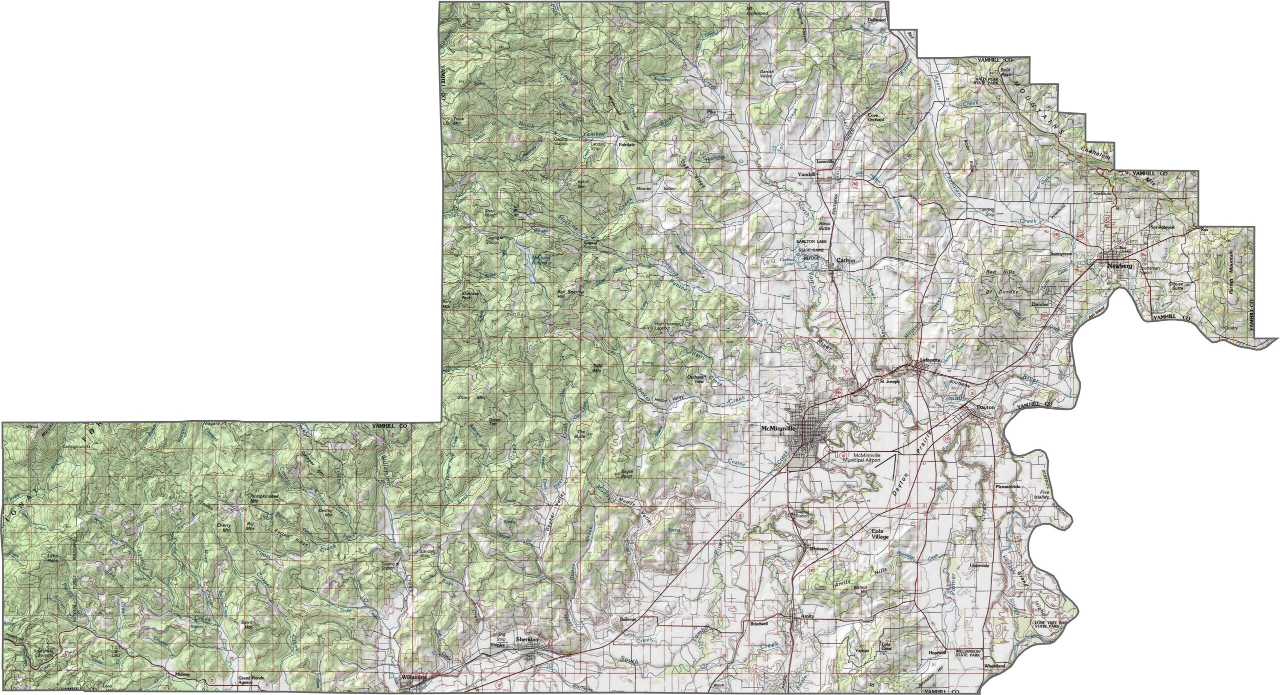
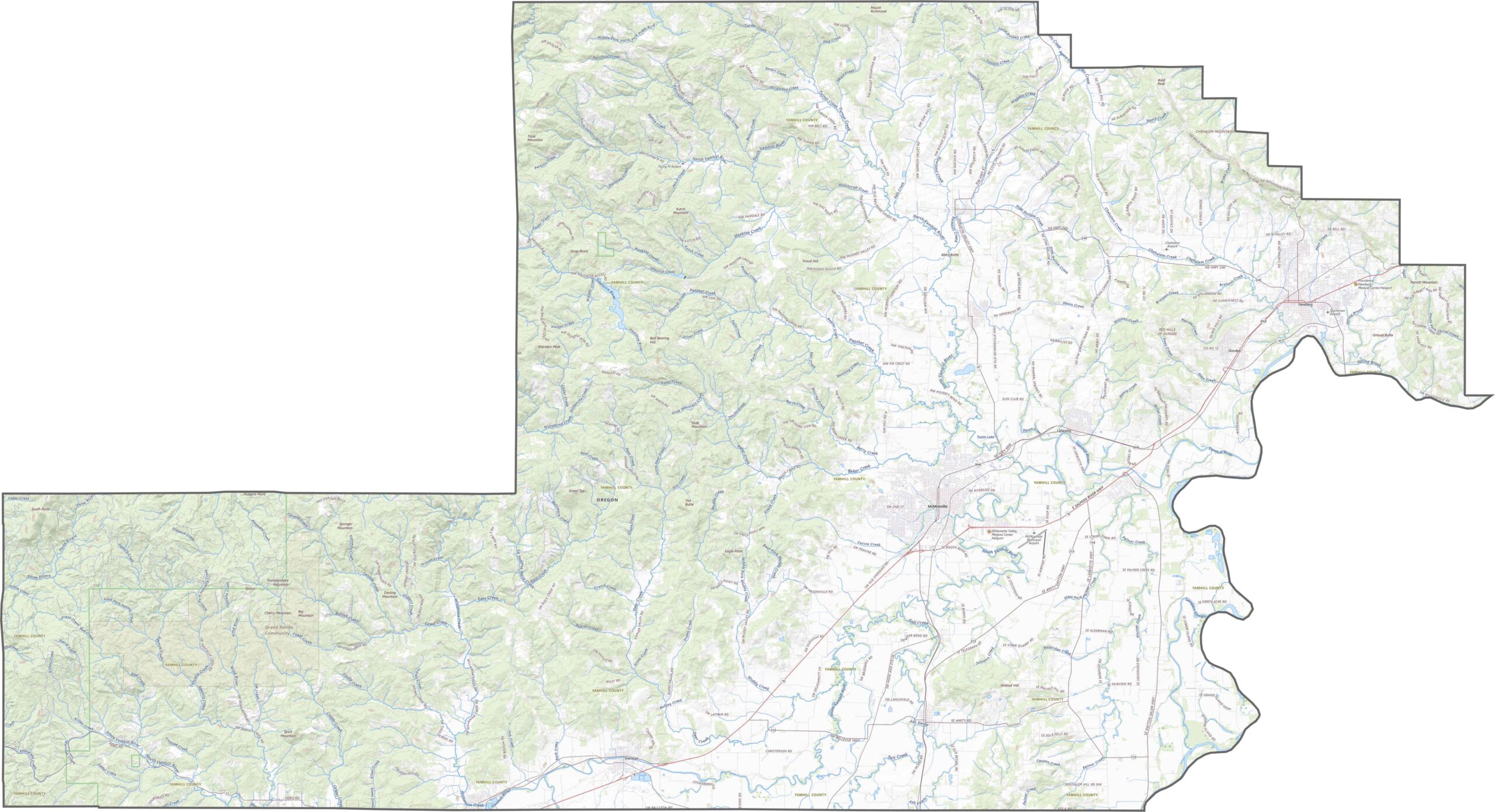
Yamhill County features gentle hills and broad valleys. Elevation rises slightly toward the west but never gets too steep. The landscape is shaped more by wine country than wilderness. Yep, it's rolling, layered, and tidy.
Roads in Yamhill County tend to follow the land, passing through vineyards, farmland, and rolling hills. While the system isn't crowded, it's well connected between towns. Some roads feel almost scenic because they're long, curving stretches through open countryside.
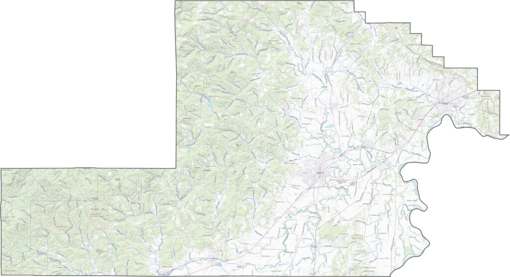
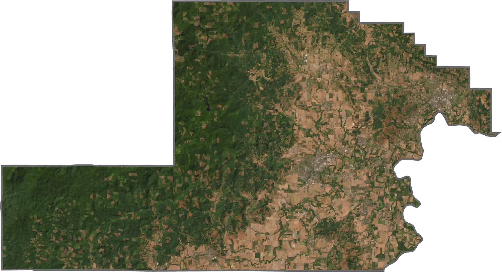
From above, it's a divide between greens and beiges. Towns are small, scattered, and separated by farmland. Patches of forest cover the hills, but the majority of the land is cultivated. The whole county has a textured, patchwork look.
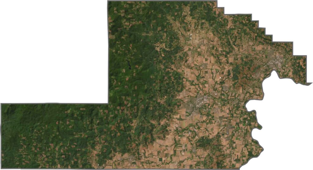
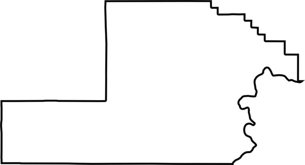
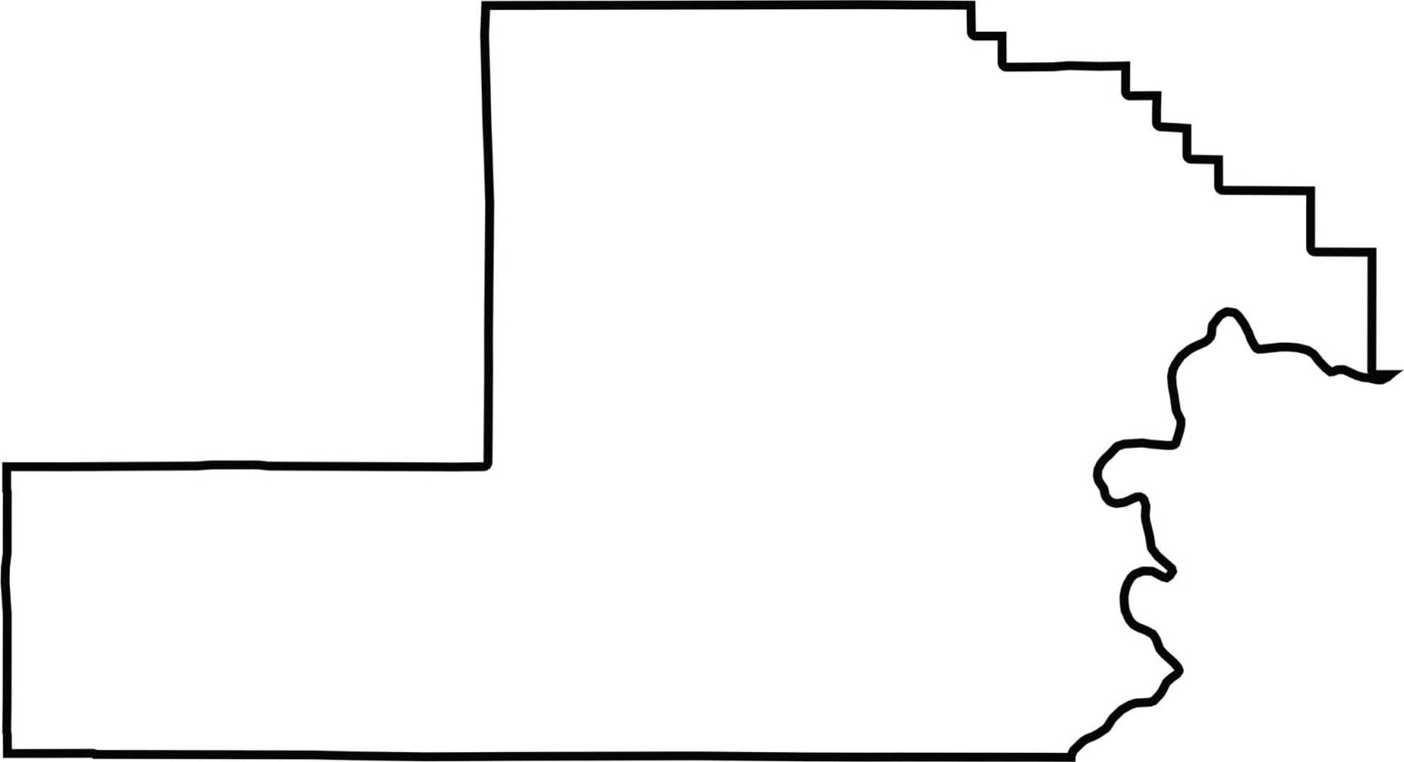
Yamhill County has a somewhat rounded shape with a few uneven stretches. The only curvy boundary is the Willamette River on the east side. It's close to the state of Washington, but it's fully within Oregon.







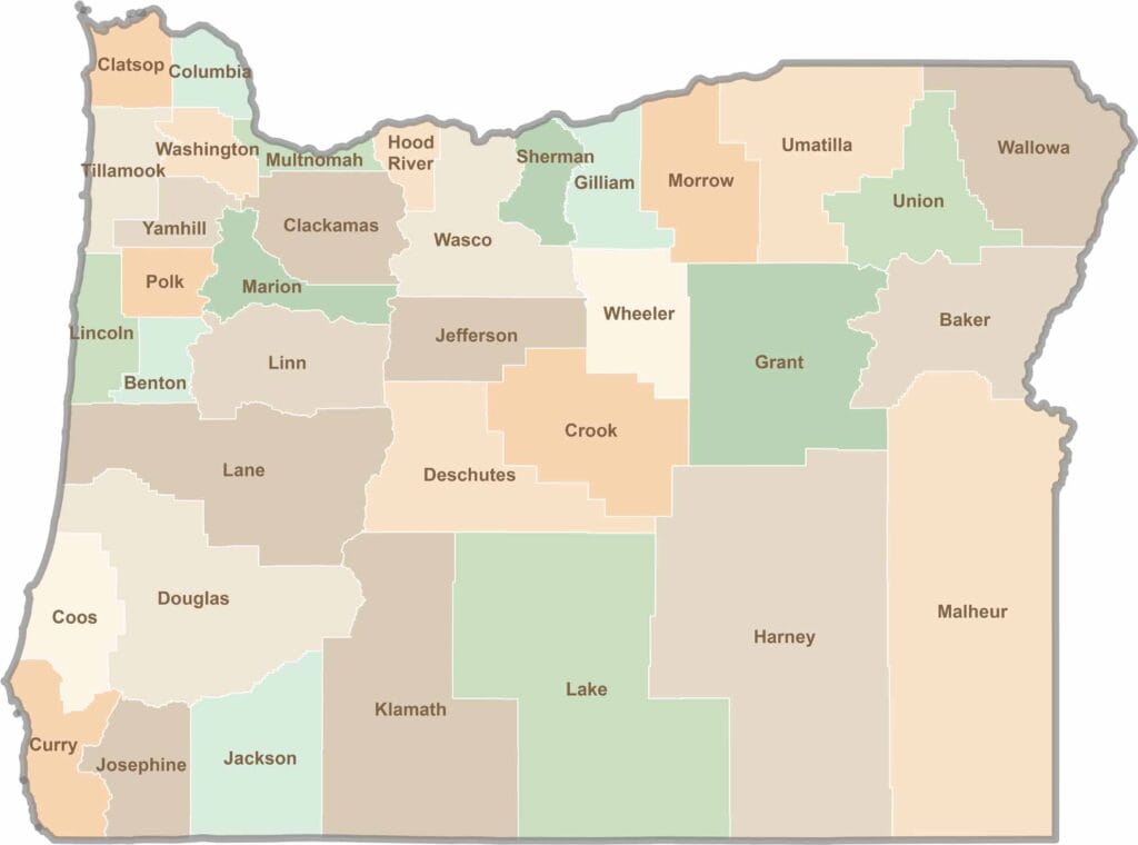
Oregon’s 36 counties cover everything from rugged coastlines and cascading waterfalls to the high desert. One day, you’re exploring a foggy fishing town; the next, you’re standing face-to-face with towering volcanic peaks.