
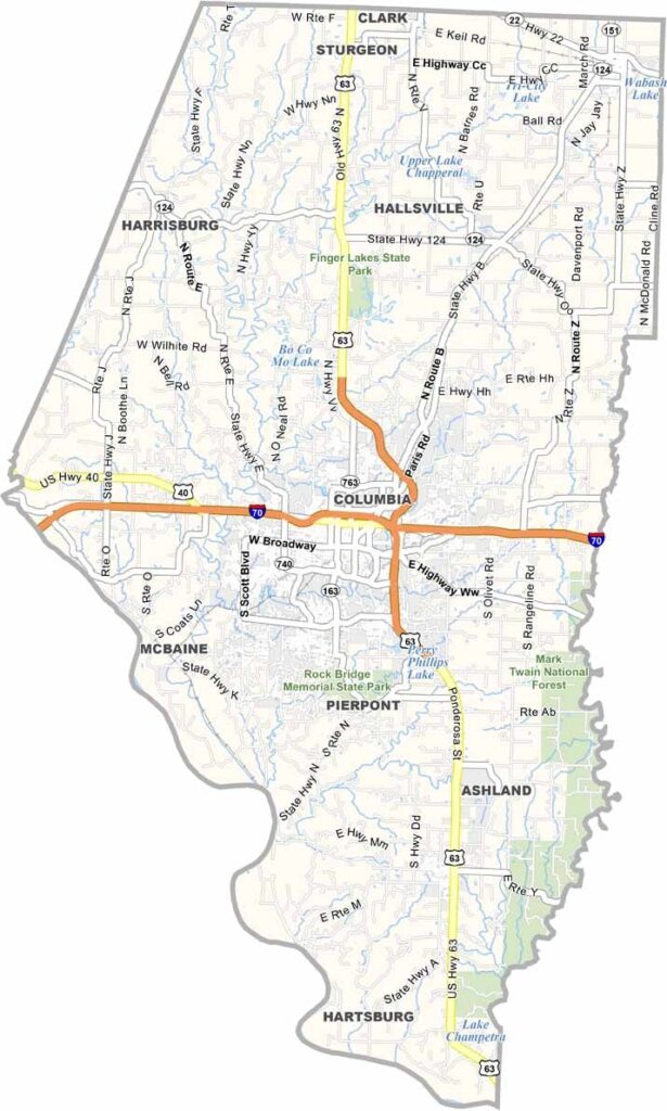
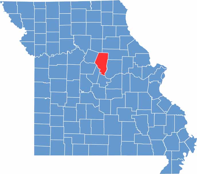
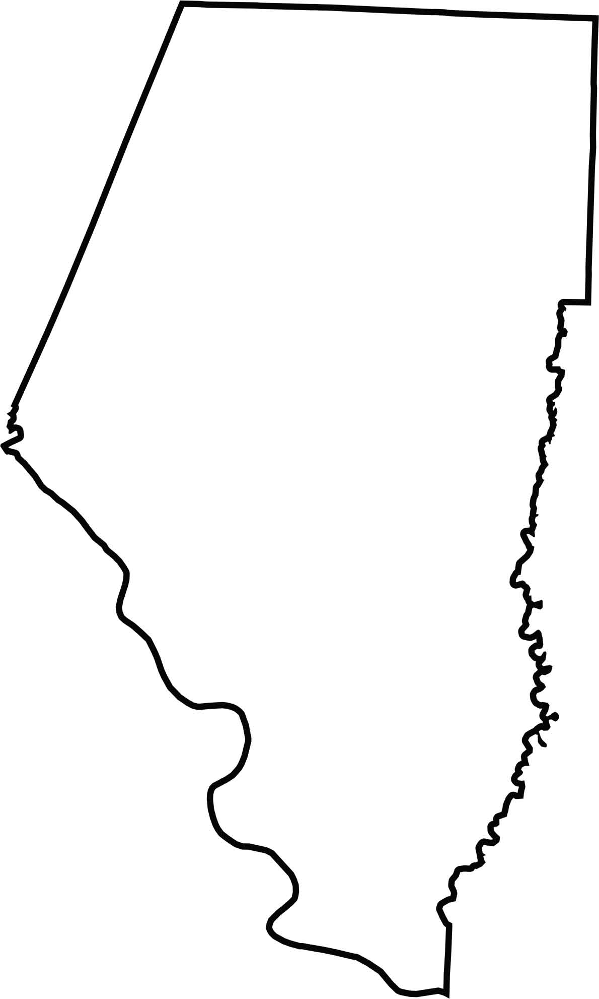
Boone County is the heart of Missouri, sitting right in the center of the state. It's home to Columbia and the University of Missouri, where Tigers football is a big deal.
The county blends urban and rural vibes, with cornfields giving way to city streets. Locals love to hang out at Stephens Lake Park or grab a beer at one of the many craft breweries.
Don't forget to stop by the Boone County History & Culture Center for a piece of local history. The county also has some great hiking trails and fishing spots.
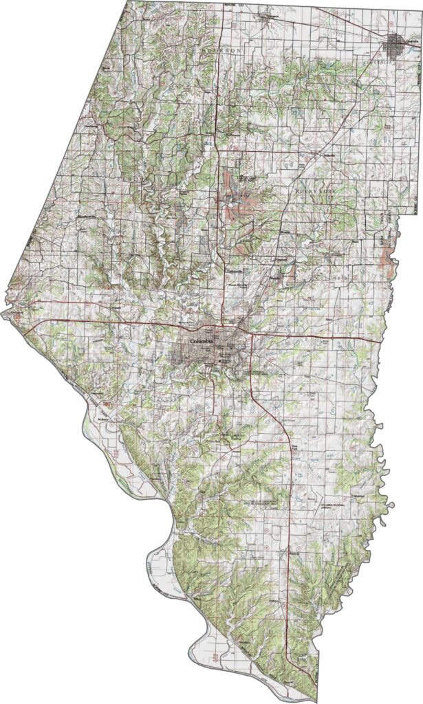
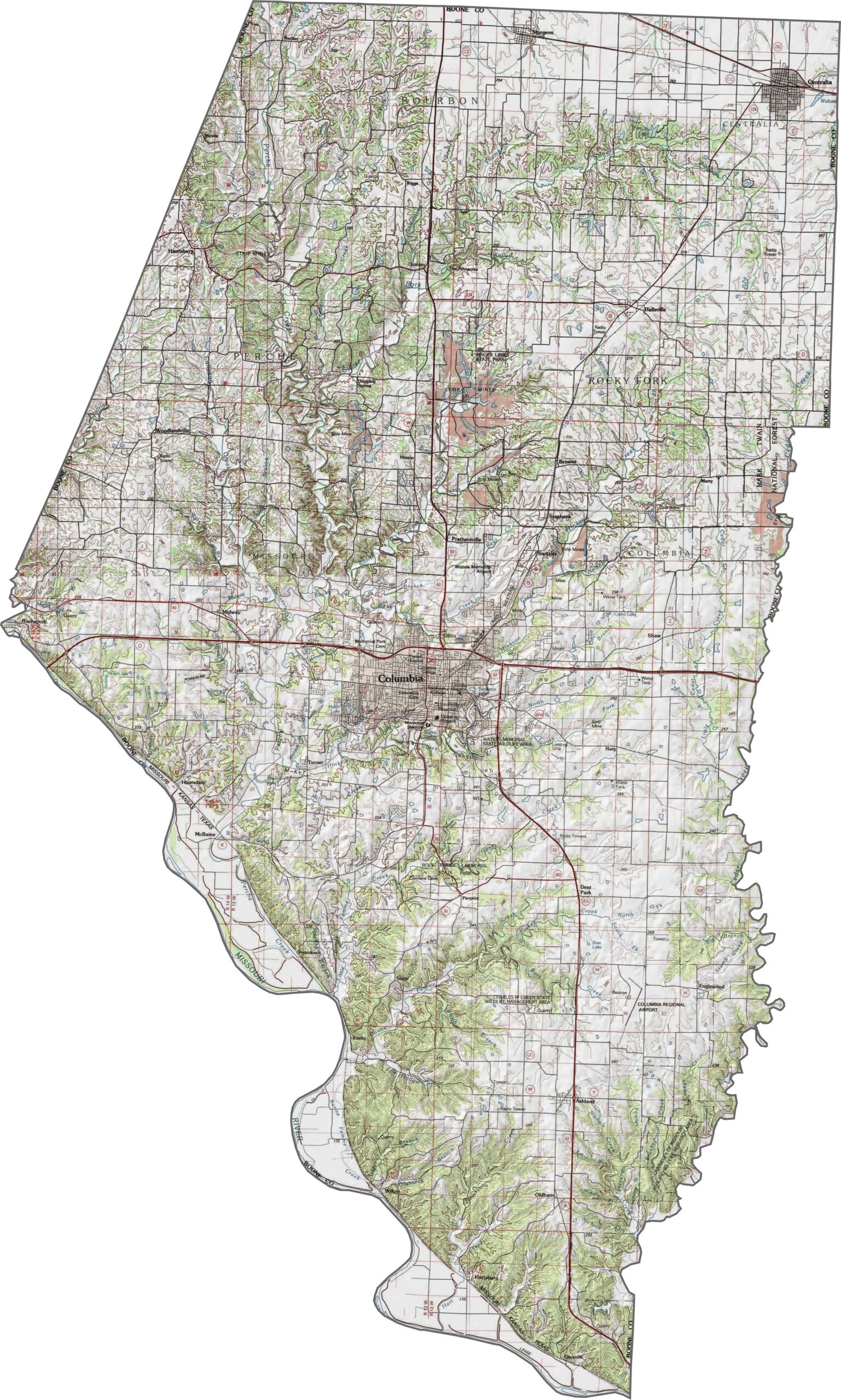
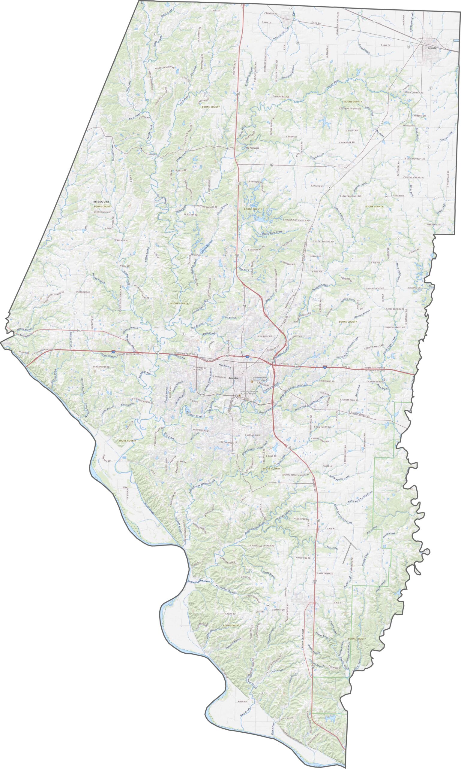
Boone County's topography mixes rolling hills with broad river valleys. The elevation changes aren't extreme, but they're enough to give the land some texture. Farmland dominates the flatter areas, while wooded patches pop up in the hillier spots. It's a landscape that's simple but never boring.
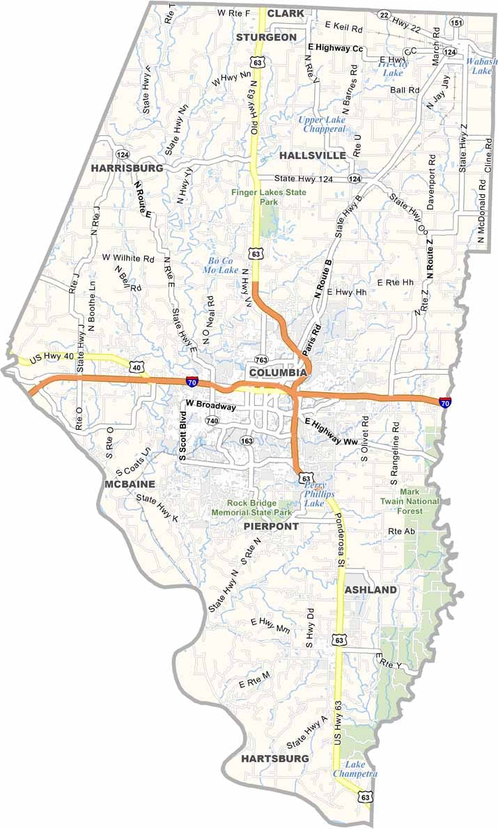
Several important roads run through Boone County. Interstate 70 cuts straight across the county, linking Columbia to other major cities, while smaller routes like Route 22 and Route 124 still play a role. Not every part of the county is heavily traveled, though, as the northern areas stay fairly quiet.
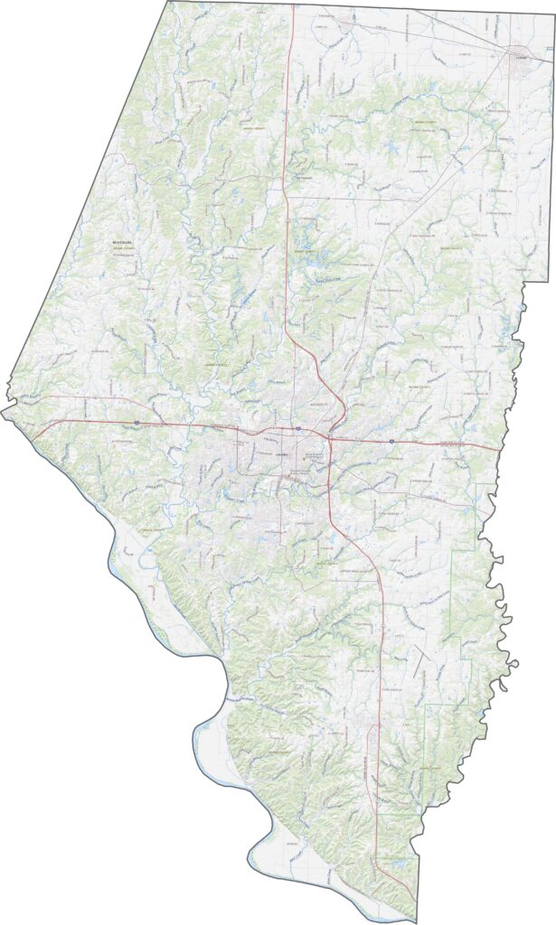
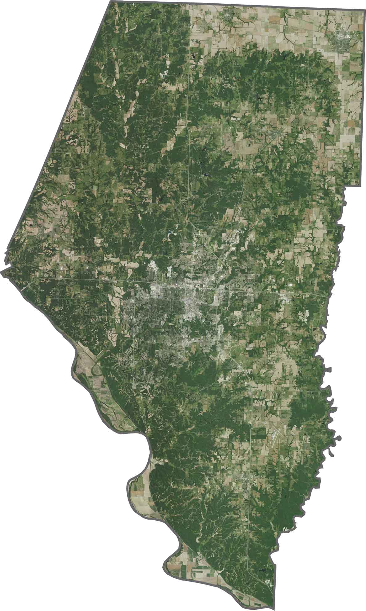
In our satellite map, Boone County shows a mix of fields, forests, and city blocks. Columbia stands out as a dense, bright patch right in the center. The rural areas look mostly green and open, with rivers and creeks slicing across the countryside.
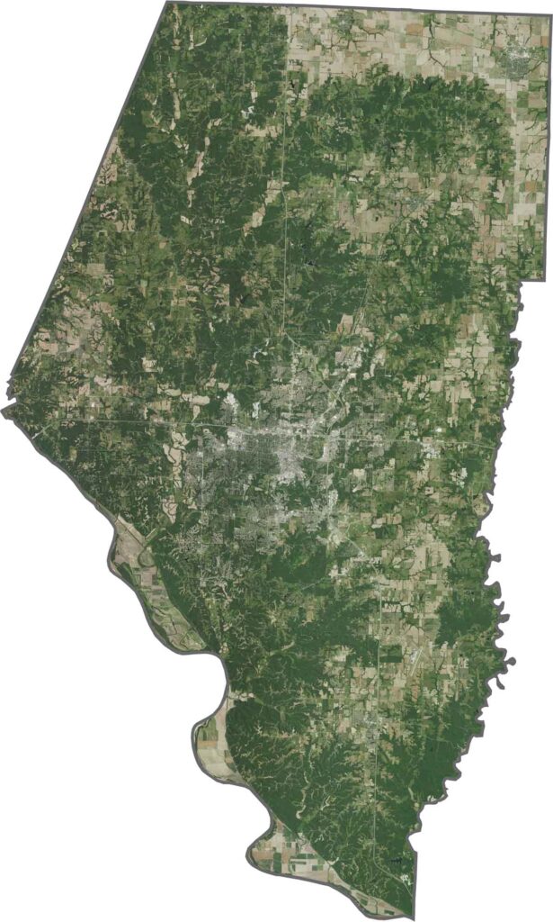
In our satellite map, Boone County shows a mix of fields, forests, and city blocks. Columbia stands out as a dense, bright patch right in the center. The rural areas look mostly green and open, with rivers and creeks slicing across the countryside.
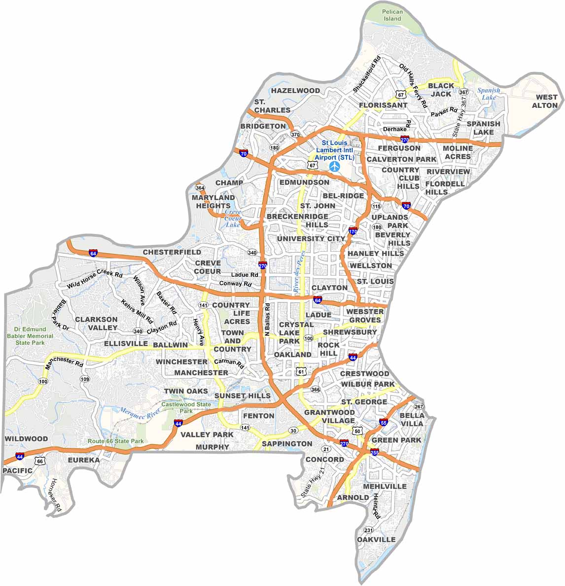
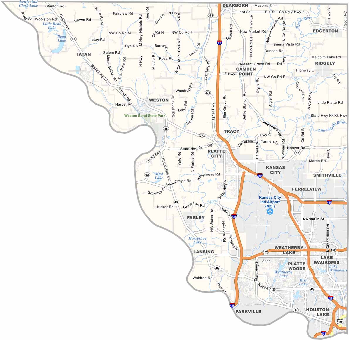
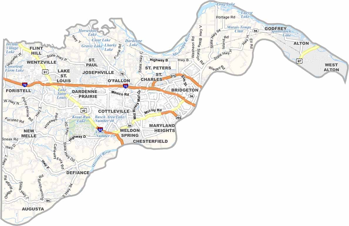
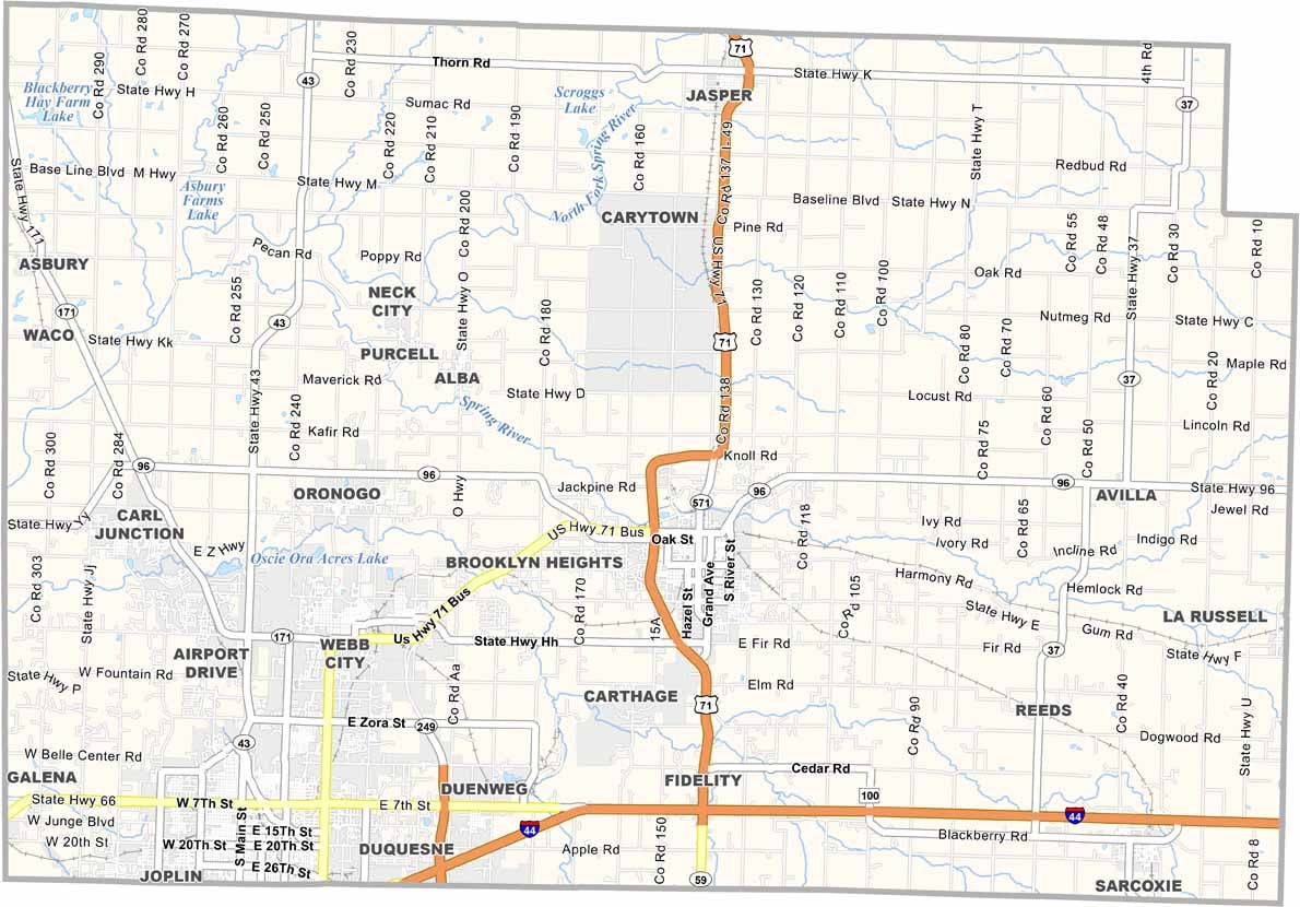
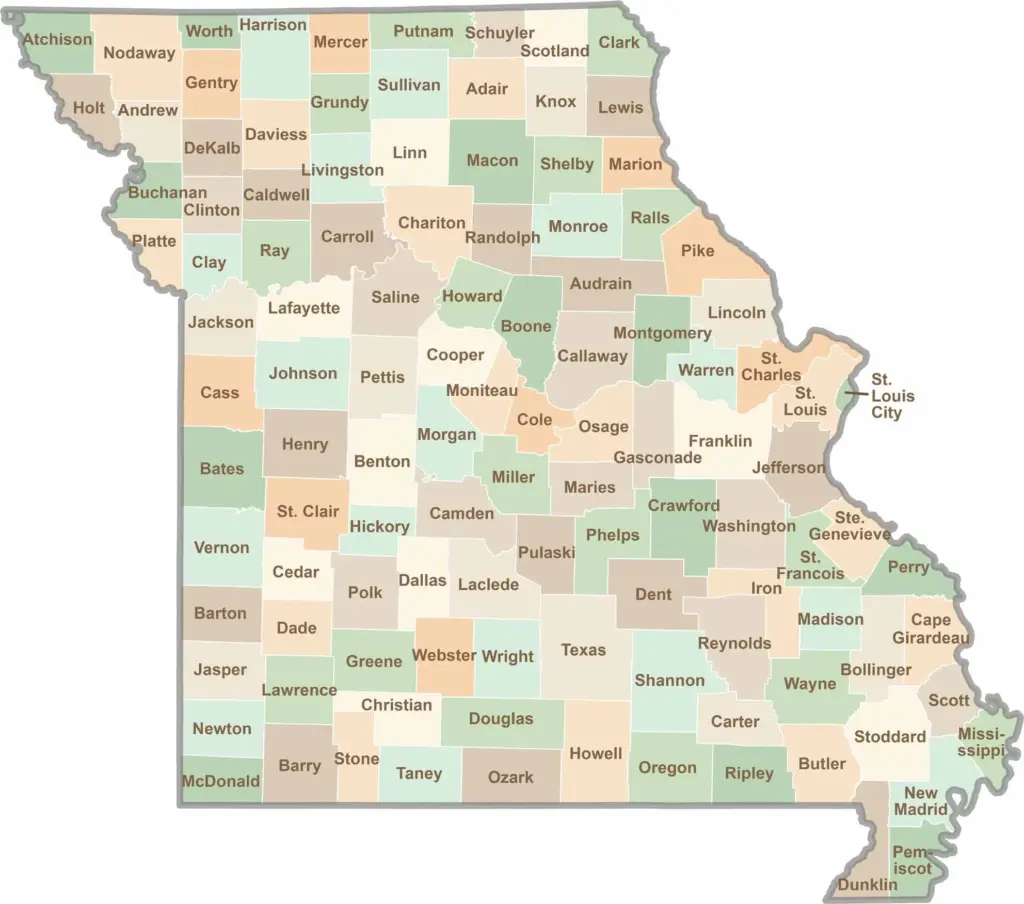
Discover the Show-Me State with our collection of all 114 county maps, your guide to smoky BBQ, Ozark trails, and sunsets over the mighty Mississippi River. From St. Louis to Branson, Missouri has something waiting around every bend in the road.