
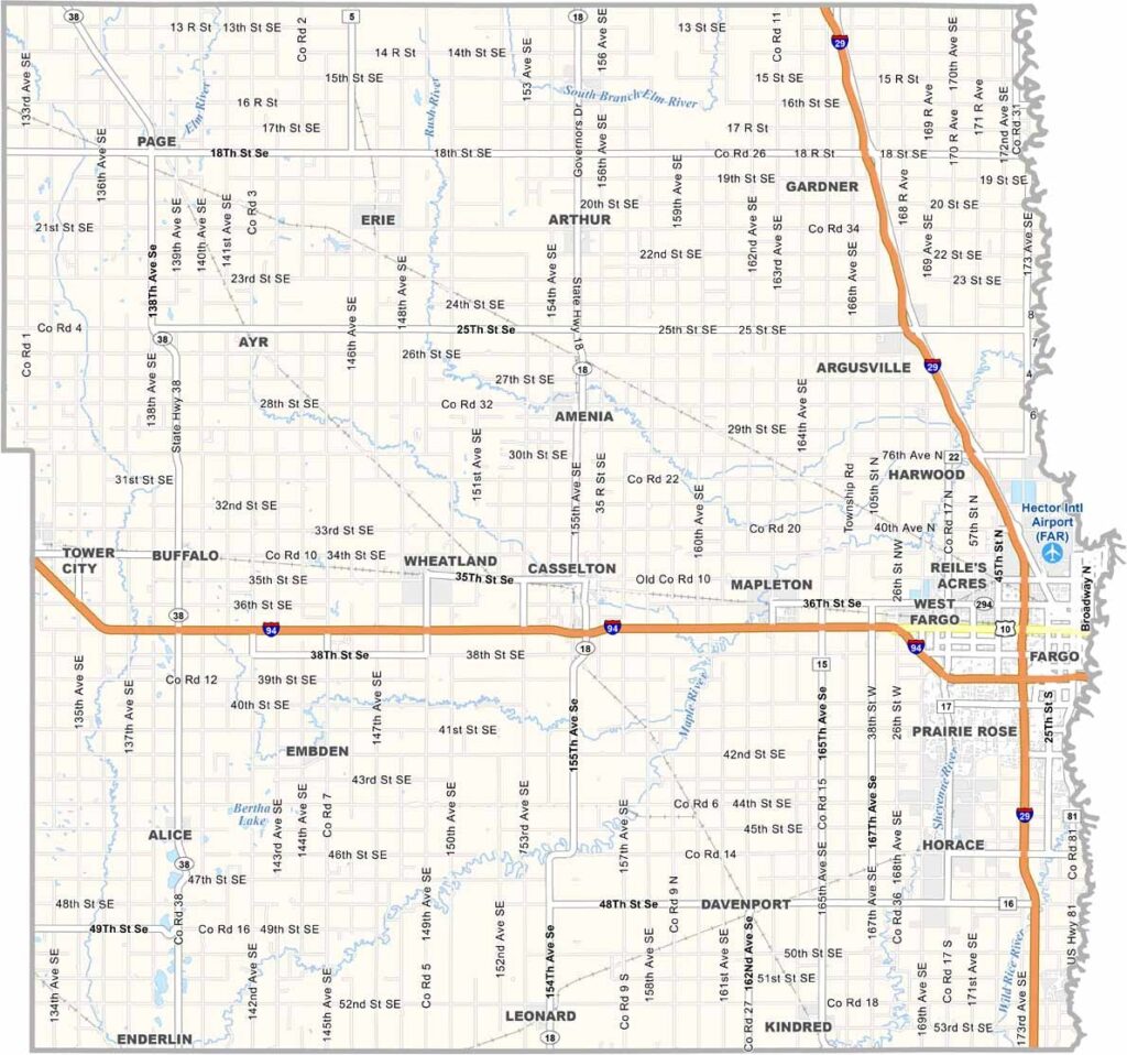
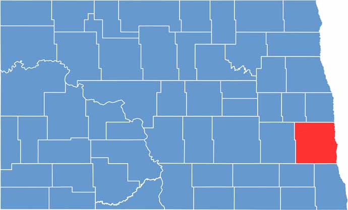
Cass County is the most populous county in North Dakota, located in the southeastern corner of the state. Fargo, the state's largest city, serves as the county seat.
The Red River forms the county's eastern border with Minnesota. It's a hub of innovation and education, with North Dakota State University calling Fargo home.
Agriculture is still important, but technology and healthcare are growing sectors. The Fargo Air Museum showcases aviation history, and there's a lively arts and culture scene too. For instance, the Fargo Film Festival draws movie buffs from across the region.
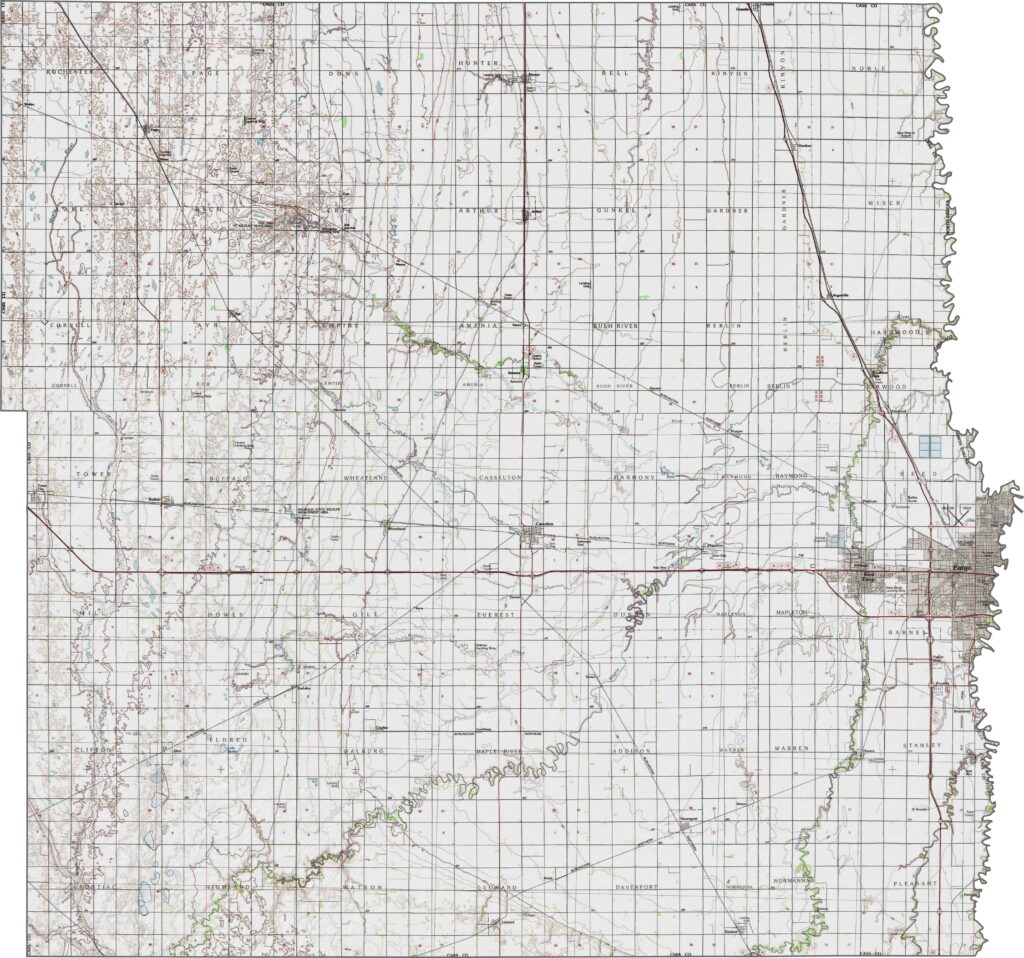
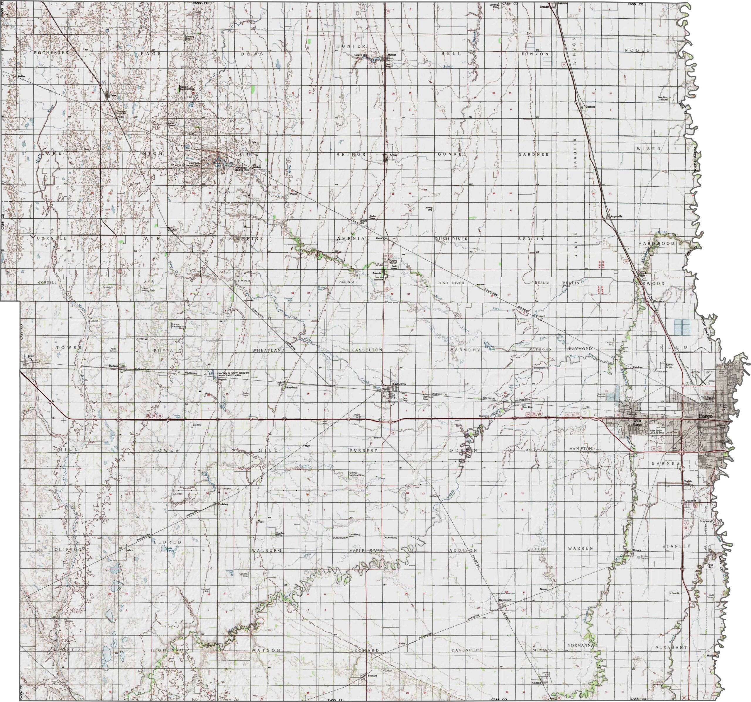
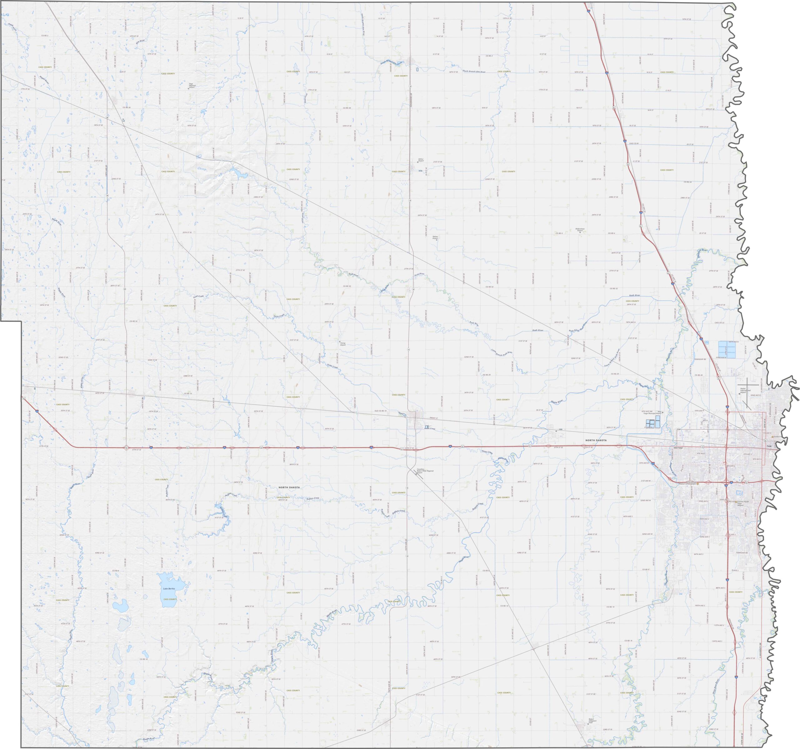
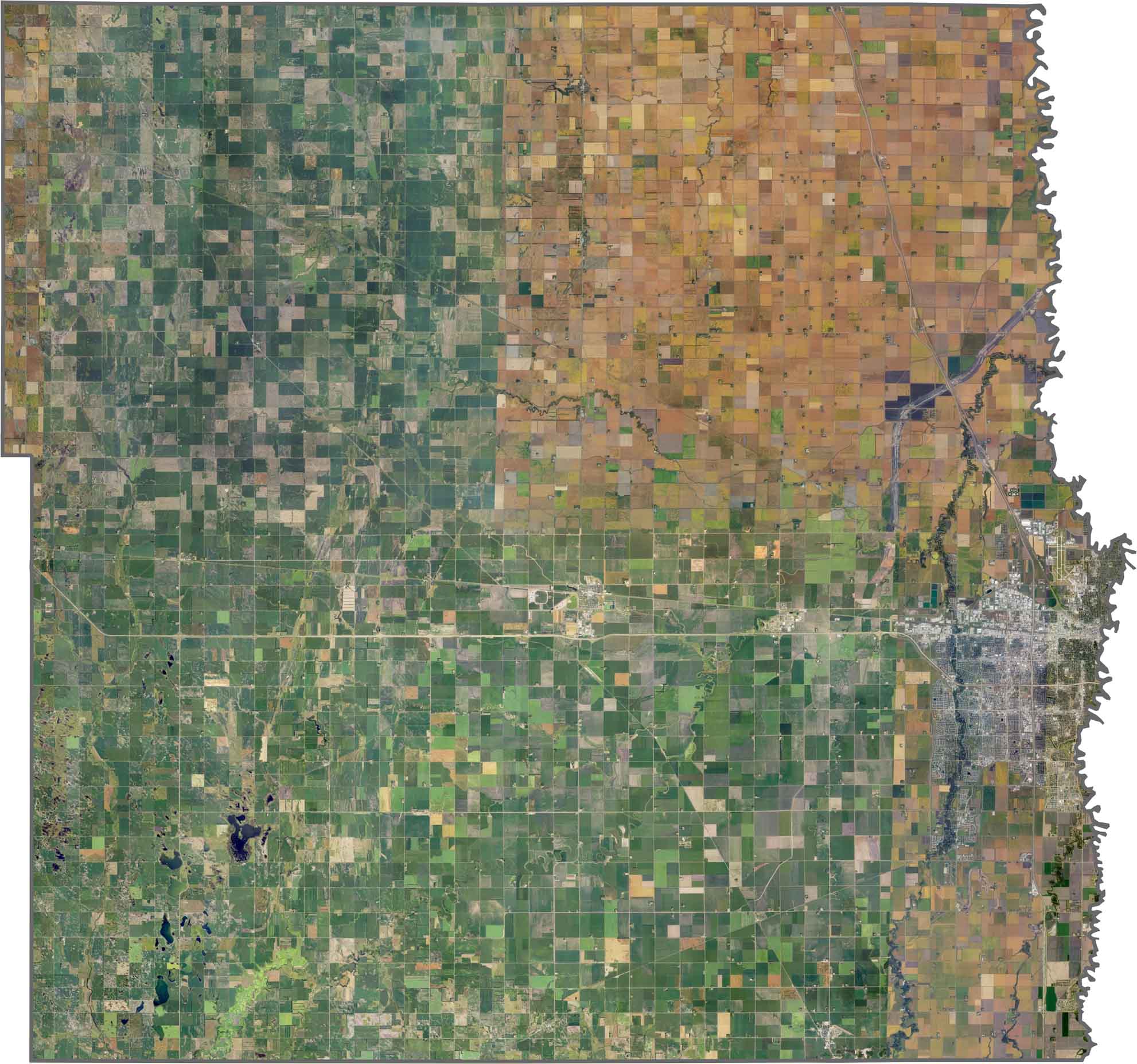
This is classic Red River Valley terrain, where the elevation barely changes across the county. Even a small slope matters for drainage, though, and subtle rises appear west of Fargo. The Red River cuts a faint trough through the eastern side. What the land lacks in elevation, it makes up for in fertile soil.
Cass County has a busy road network. Interstate 94 slices across the southern half, while I-29 runs north to south. Beyond the interstates, many local roads crisscross the farmland in a perfect grid. Fargo's city streets are denser and more complex, but rural highways dominate outside the urban area.
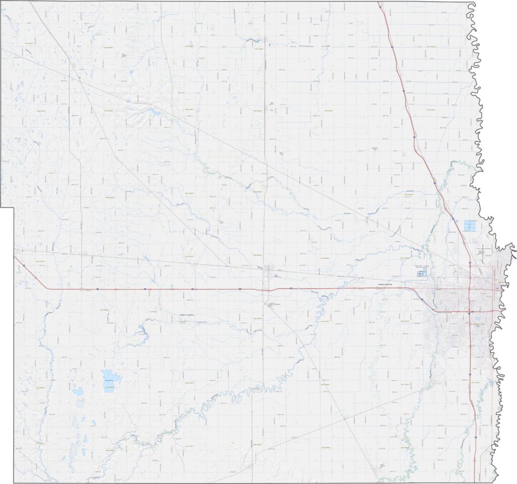
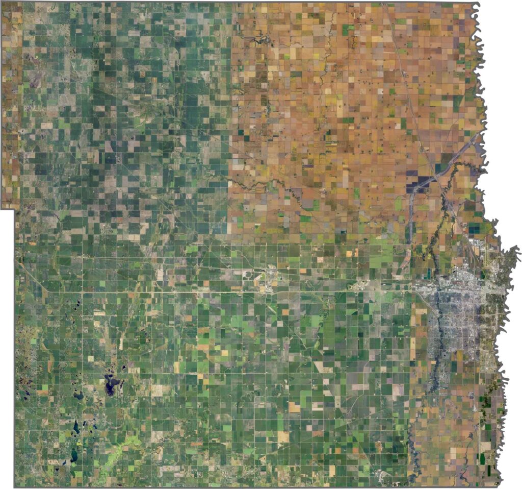
Fargo pops out clearly from above, a dense, gray sprawl in the east. The countryside, in contrast, is mostly fields, with long, straight roads slicing through the crops. The Red River also carves a green line along the eastern edge, and even the small towns look tiny next to the surrounding farmland.
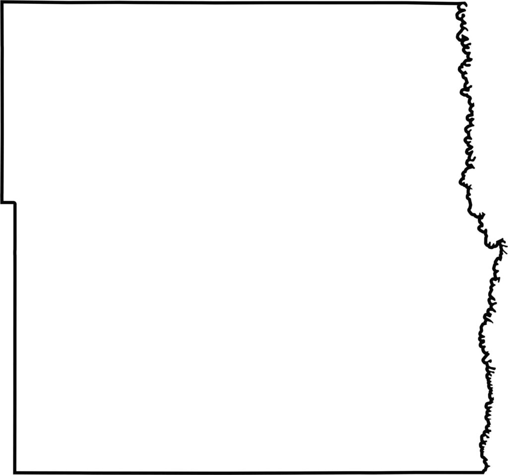
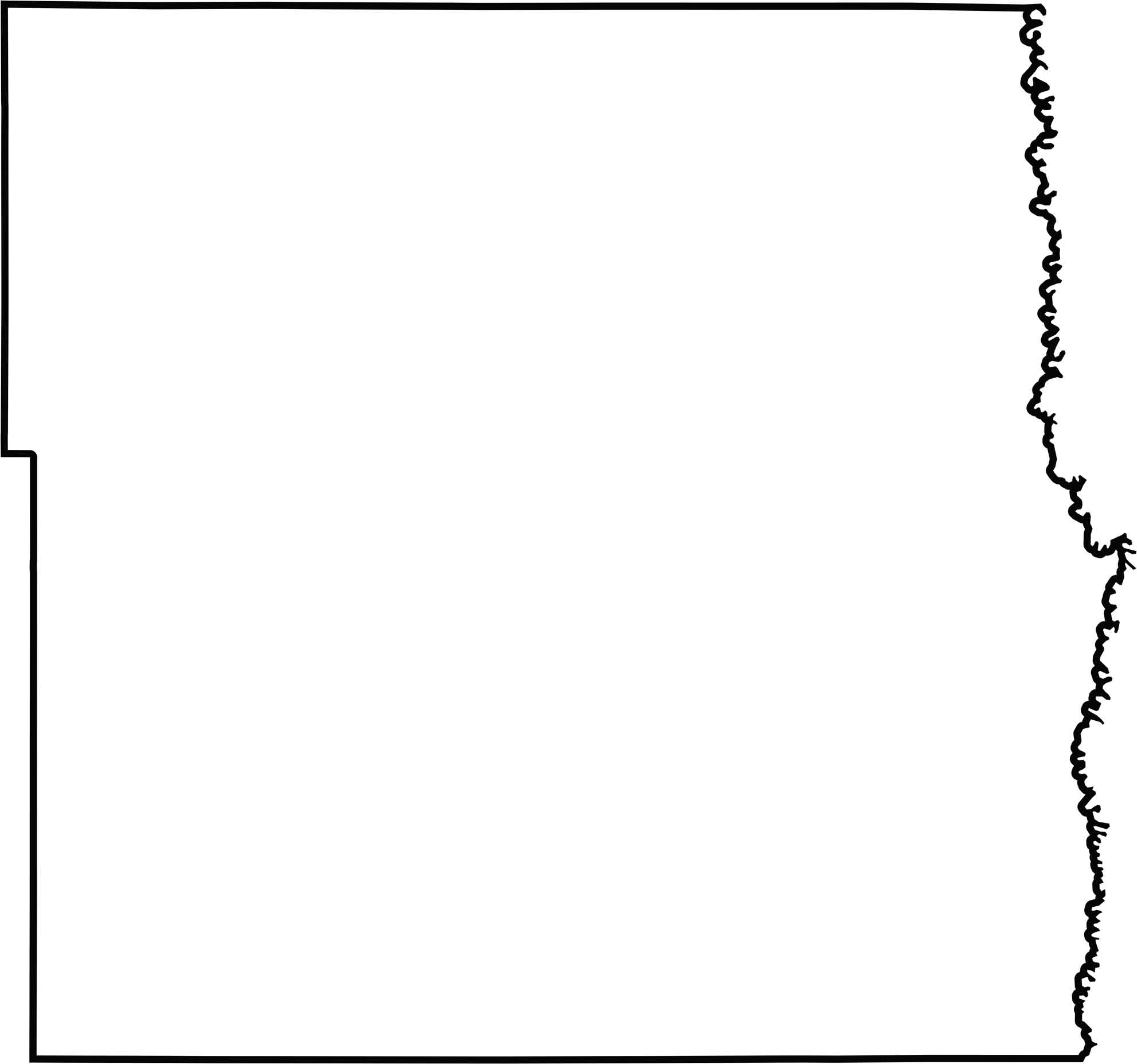
Cass County looks like a clean, almost too-perfect rectangle. The Red River breaks that symmetry along the eastern edge, forming the border with Minnesota.







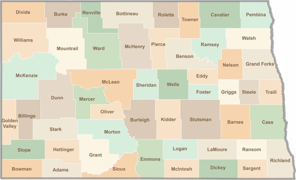
With 53 counties spread across North Dakota, the state offers far more variety than most people expect, from sleepy prairie towns to busy oil hubs. In one county, the scenery may be nothing but wheat fields and peaceful back roads, while the next boasts rodeos, wind turbines, and a giant buffalo statue as big as a house.