
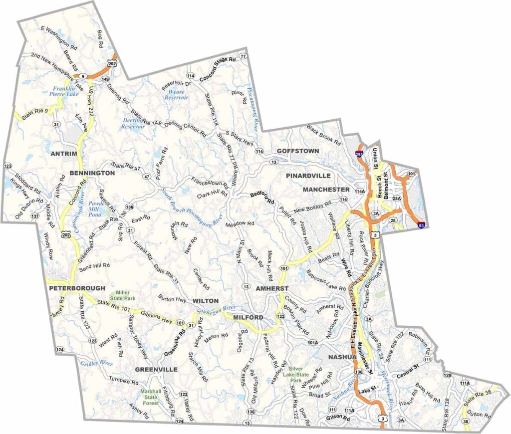
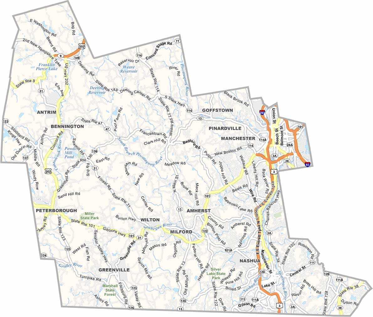
Southern New Hampshire is home to Hillsborough County, the most populous in the state. Manchester, the largest city, is a former mill town turned tech hub, which means you get bustling city life and quiet farmland within a short drive of each other.
Nashua, near the Massachusetts border, offers a mix of history and modern amenities, and the Merrimack River runs through the heart of the county. Politics comes alive here during primary season, and everyone has an opinion.
Mount Monadnock looms on the western edge, and local breweries are making a name for themselves. Small towns like Peterborough have a strong arts scene. It's not all work, though. You'll find plenty of folks out fishing on the weekends or cheering on the Fisher Cats at the ballpark.
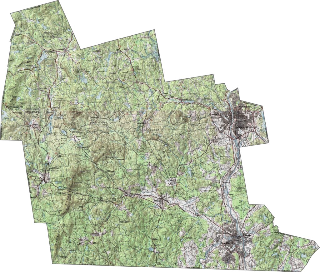
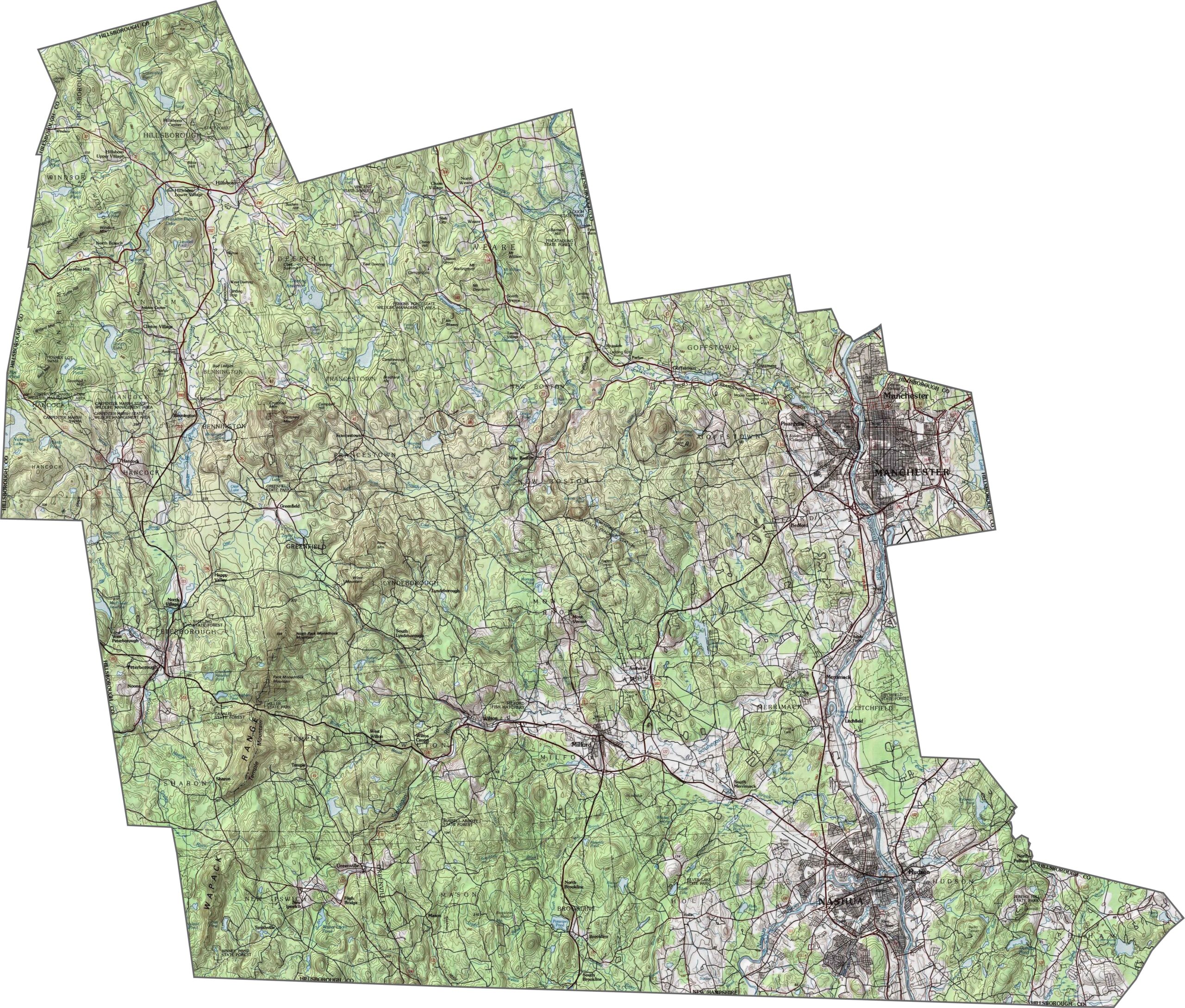
Despite its size and cities, the land in Hillsborough County isn't flat. Hills roll across the county, Mount Uncanoonuc rises near Goffstown, and rivers carve out valleys. The county isn't mountainous, but the changes in elevation give it shape. Use our zoom tool on the topographic map below to inspect every contour and relief detail.
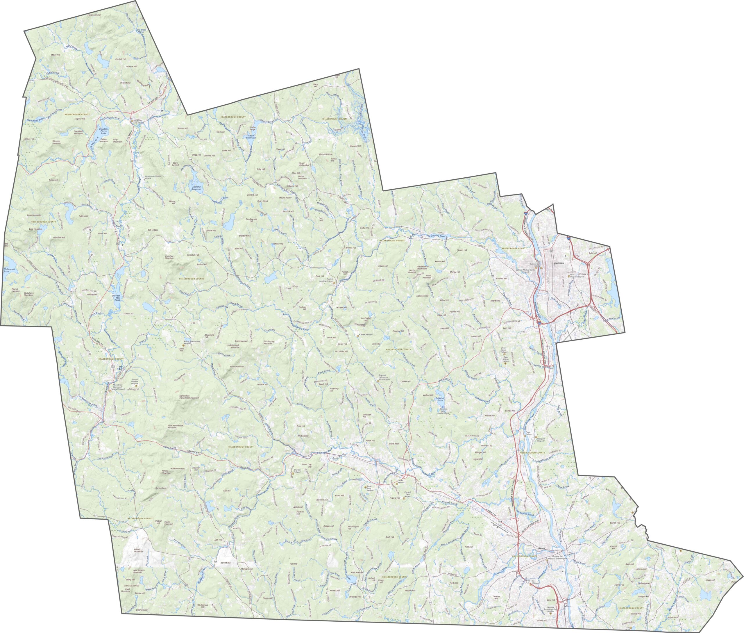
Now we're talking interstates. I-93, I-293, and I-89 all pass through or nearby, while Route 101 cuts east to west across the middle. The network is busy, but it's dense and functional. Use our zoom tool to follow every on-ramp and highway.
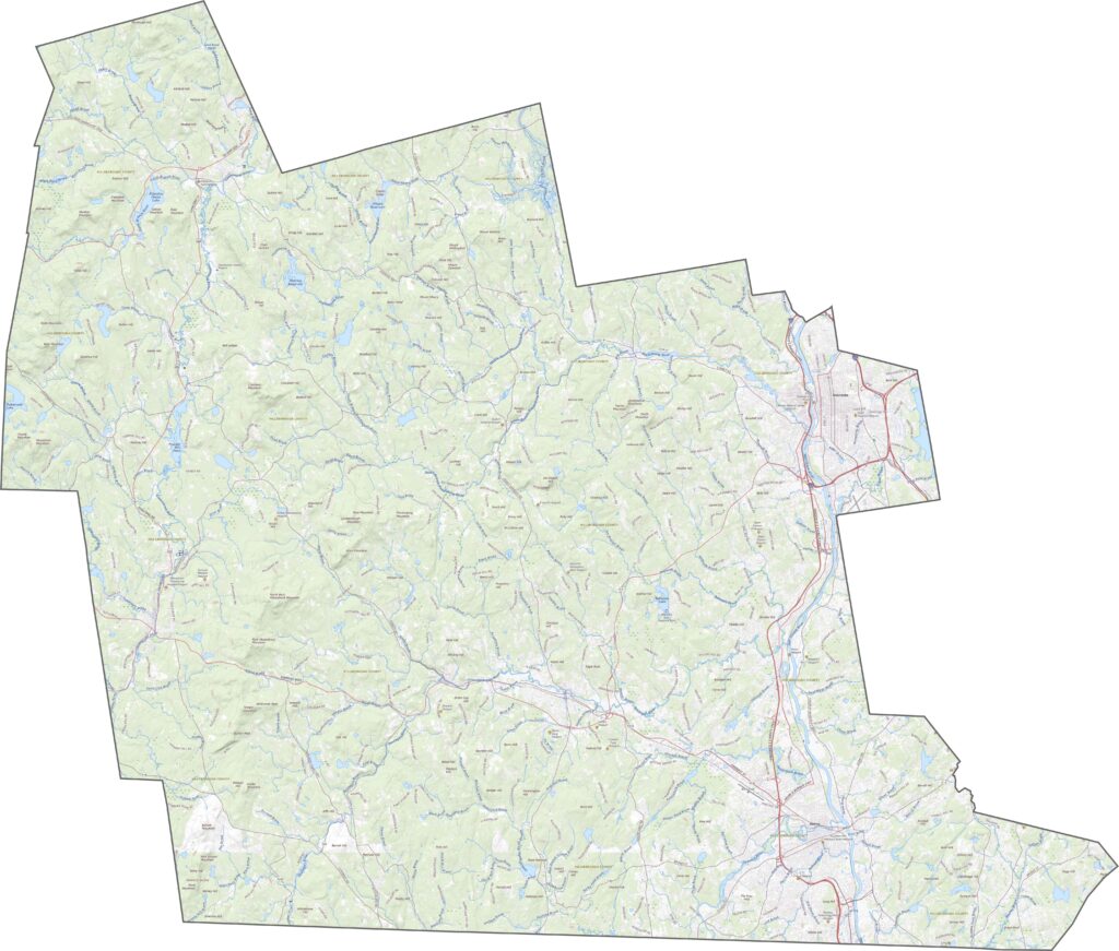
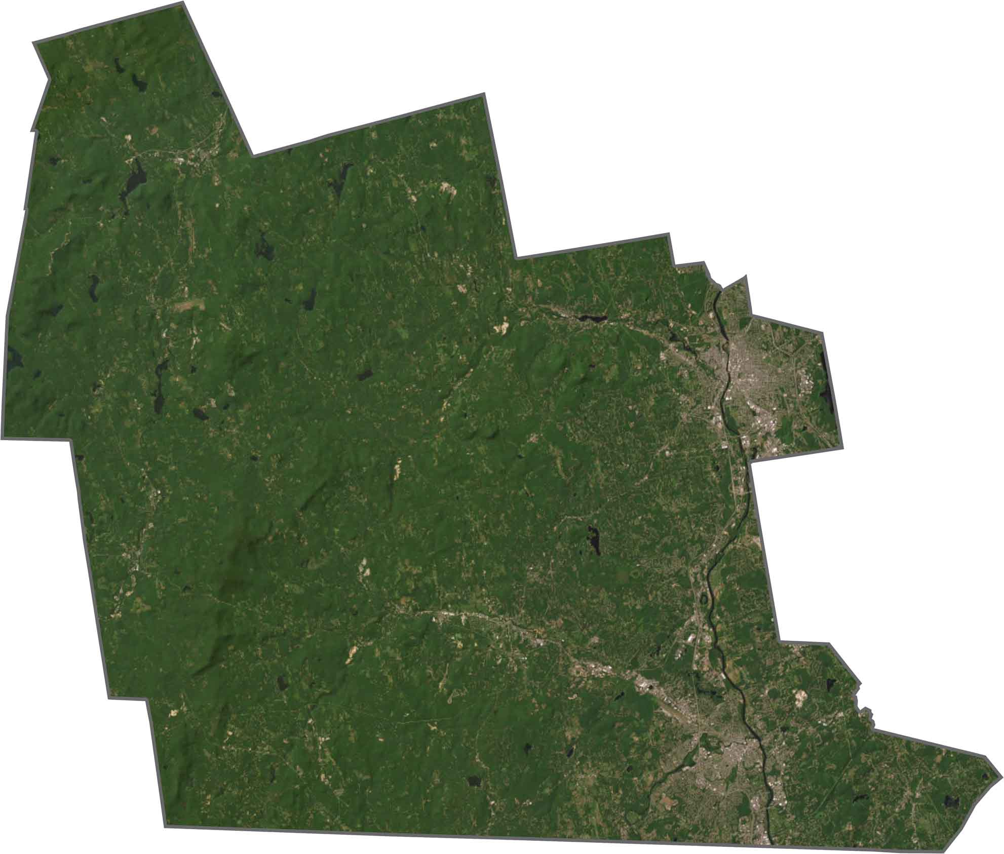
Hillsborough County is the most developed county in New Hampshire, and Manchester and Nashua are unmistakable from above. Between them, though, trees still cover much of the land, and the Merrimack River cuts a bold line down the middle.
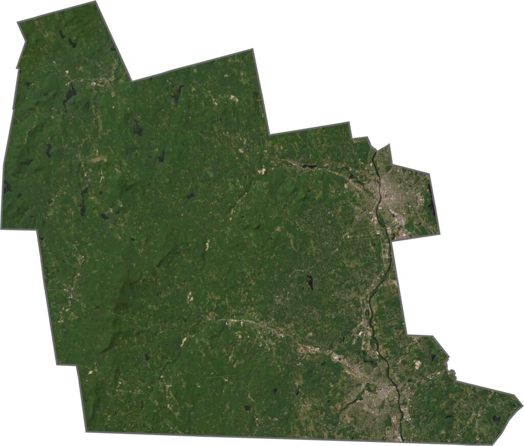
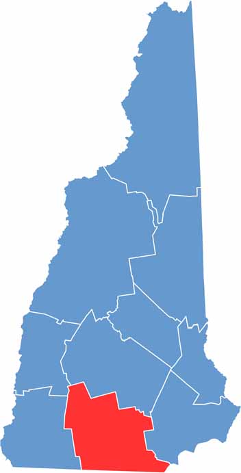
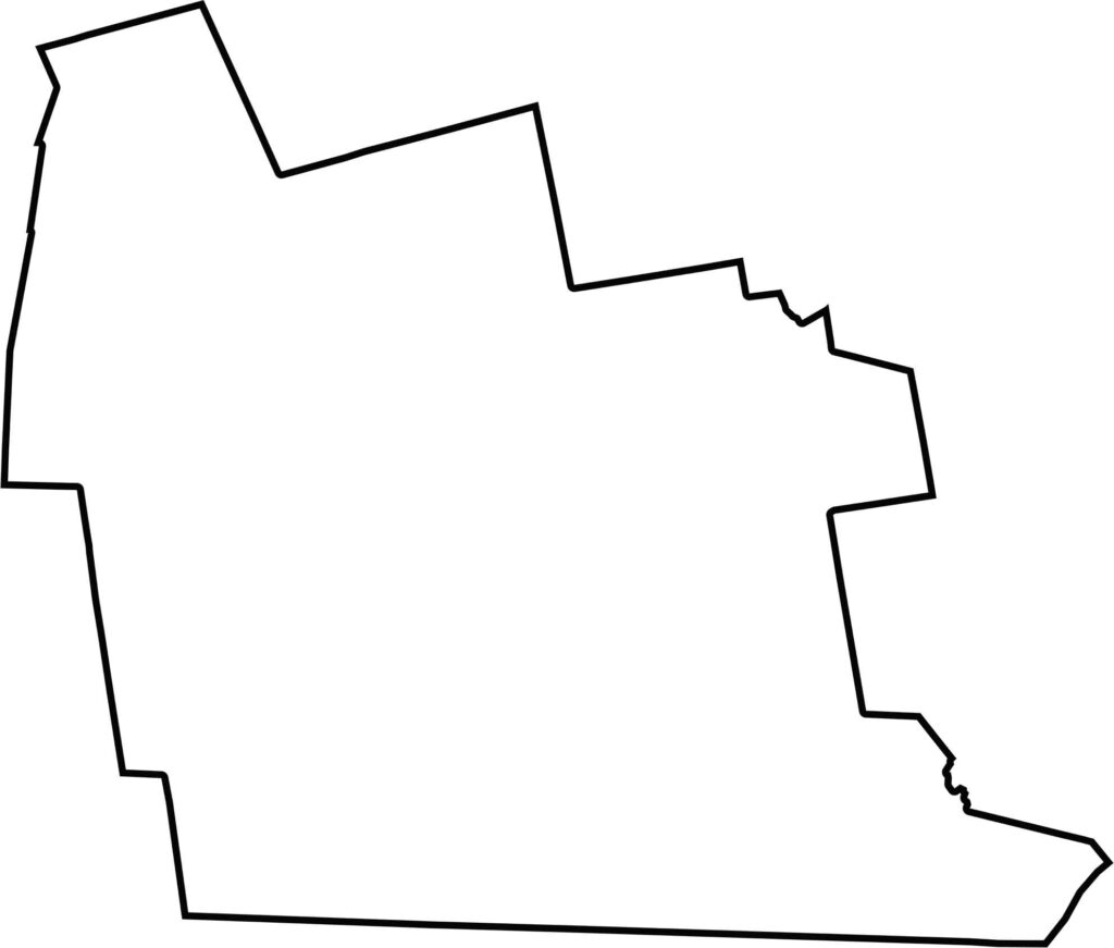
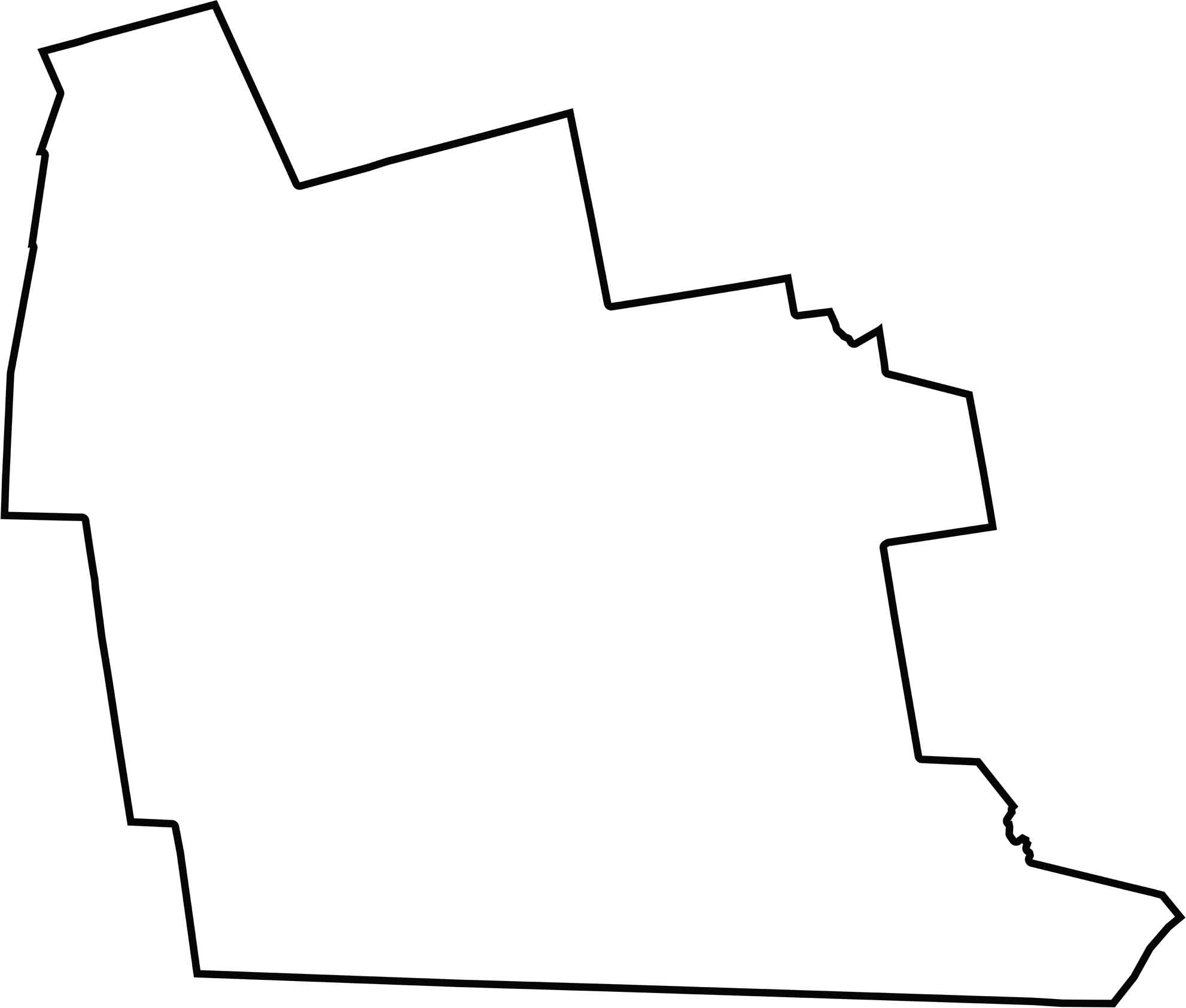
Hillsborough County is wide and irregular. It borders Massachusetts and sits fairly close to Boston. The northern edge is more jagged, so the county has no clean geometric shape.
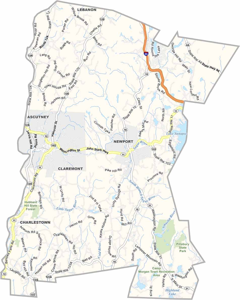
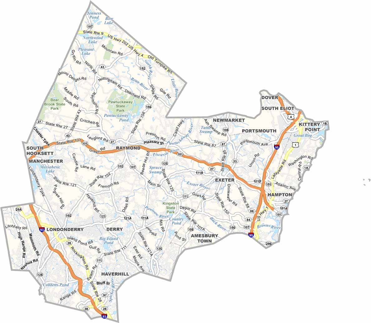
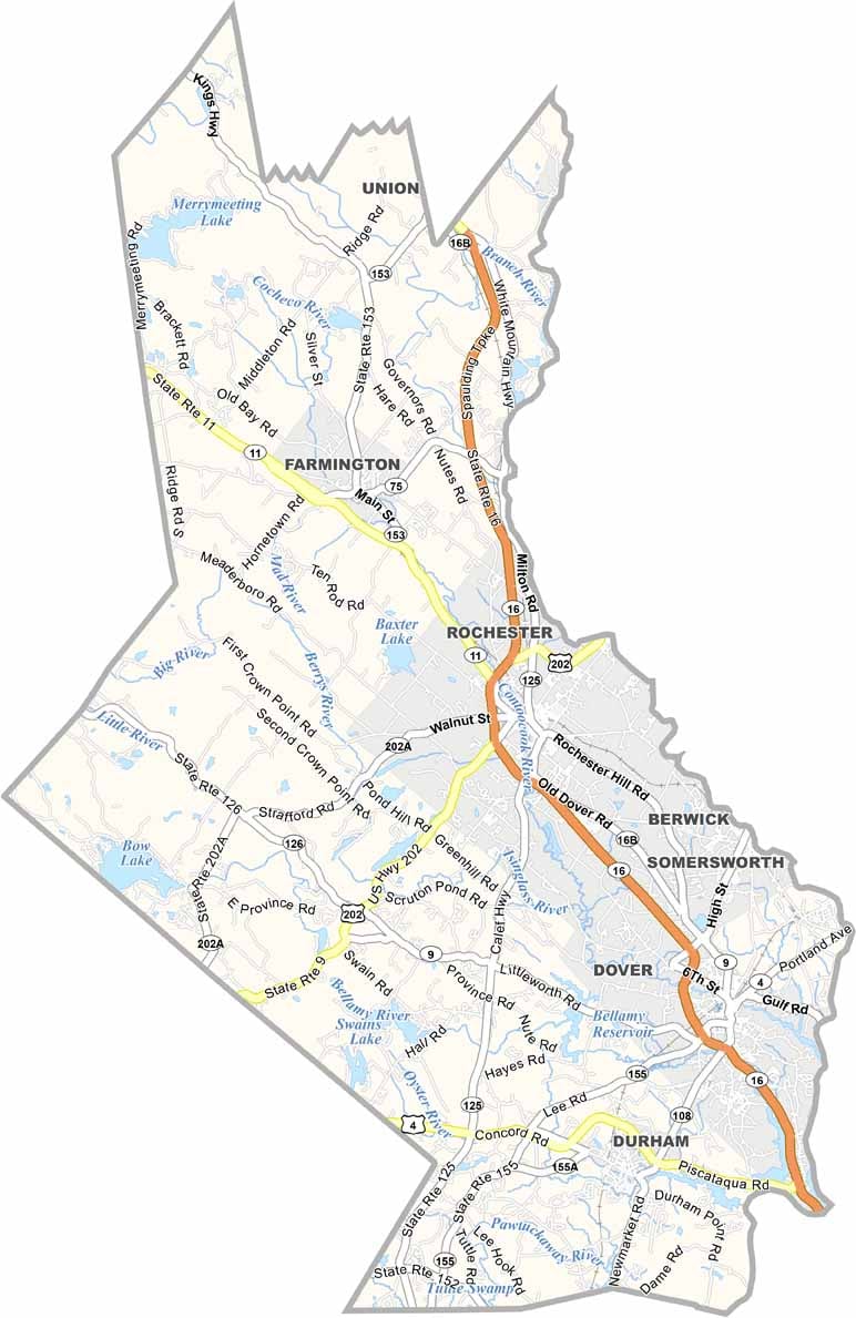
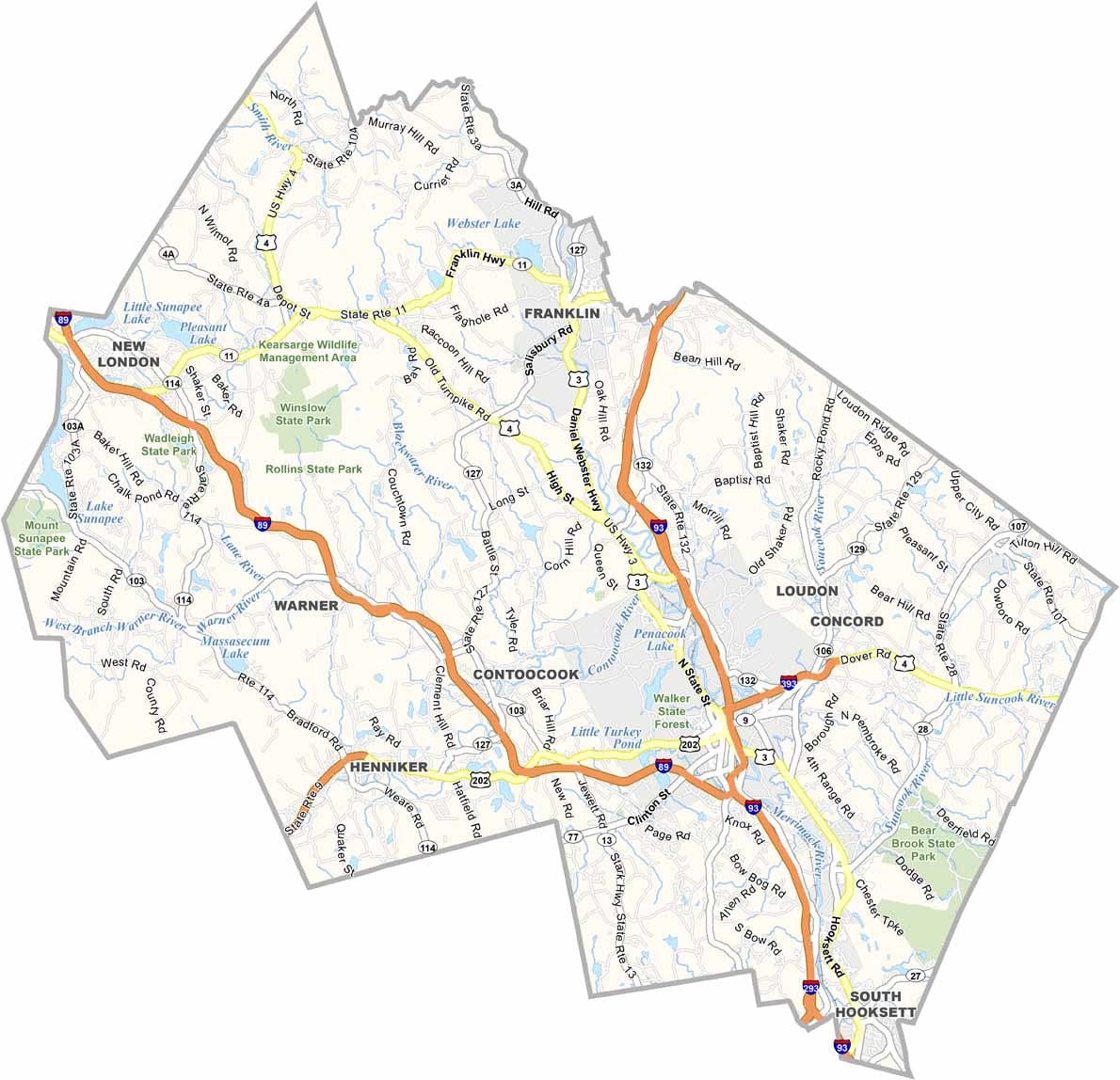
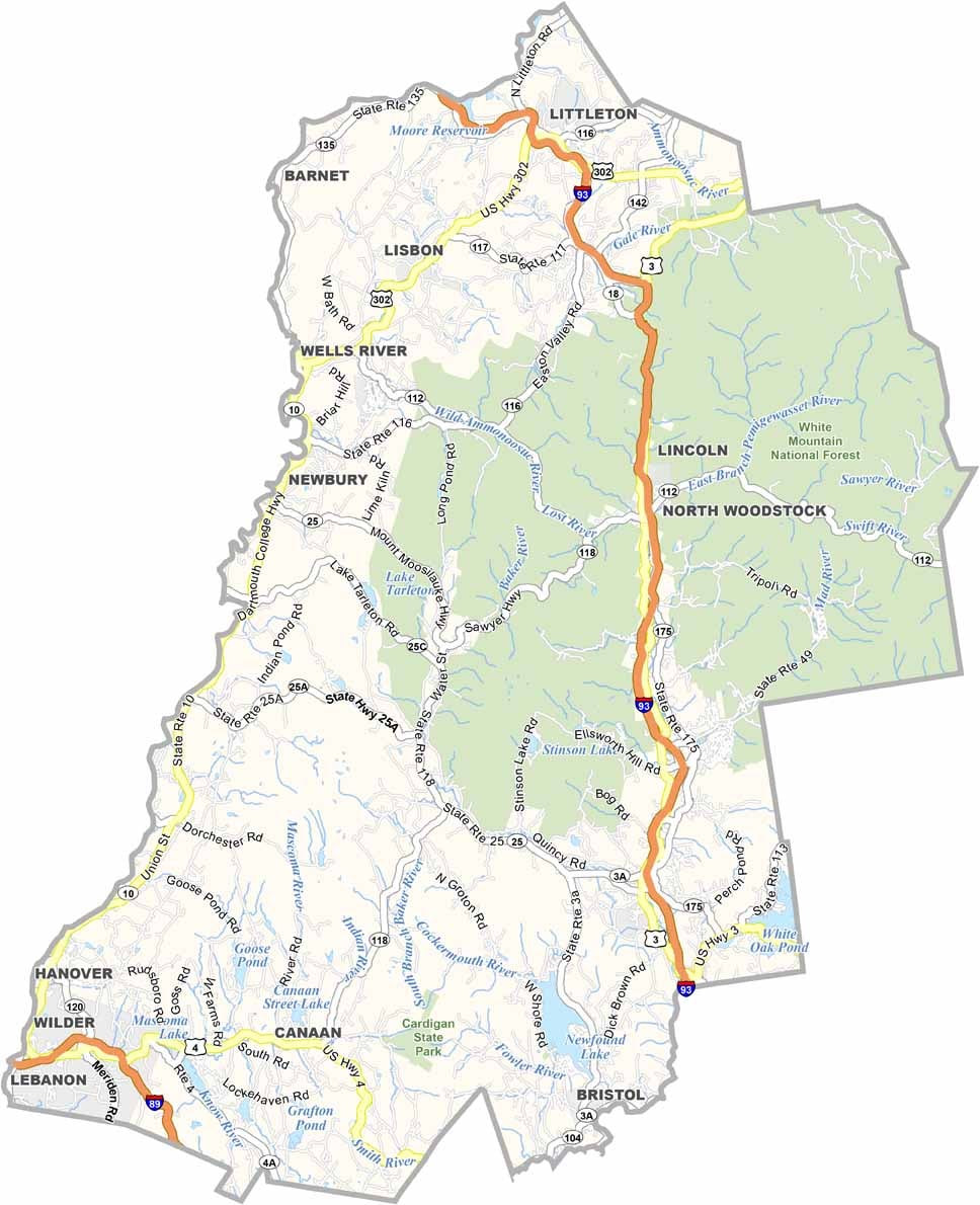

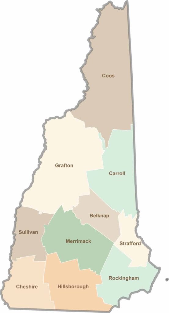
Discover the Granite State, home to 10 counties packed with mountain switchbacks, colonial villages, and Atlantic winds. Enjoy maple syrup mornings, moose crossings, and so much more.