
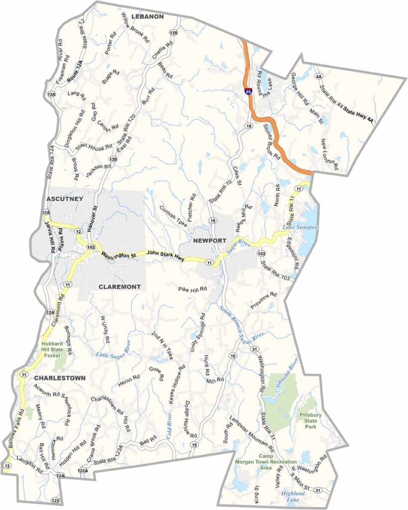
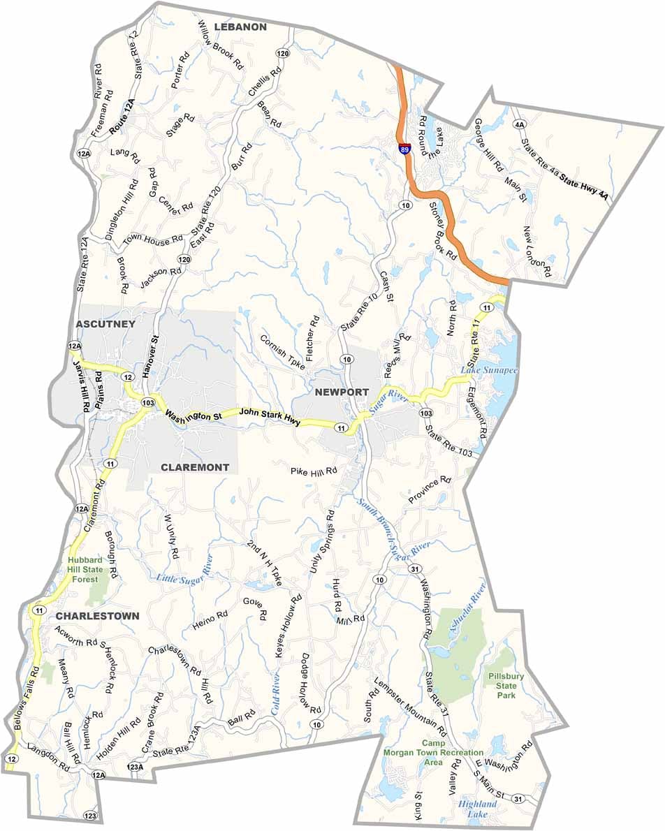
Sullivan County lies in western New Hampshire, bordering Vermont along the Connecticut River. Claremont is the largest city and has a rich industrial heritage, while Newport, the county seat, calls itself the "Sunshine Town." Locals will tell you why, usually with a wink.
Mount Sunapee draws skiers in winter and hikers in summer. The county has a strong artistic streak, with galleries and studios scattered throughout, and you'll find some of the best apple picking in the state here.
Cornish was once home to sculptor Augustus Saint-Gaudens and still attracts artists today. Lake Sunapee is prime territory for boating and fishing. It's not a flashy place, but Sullivan County is where people come to slow down and reconnect with what matters.
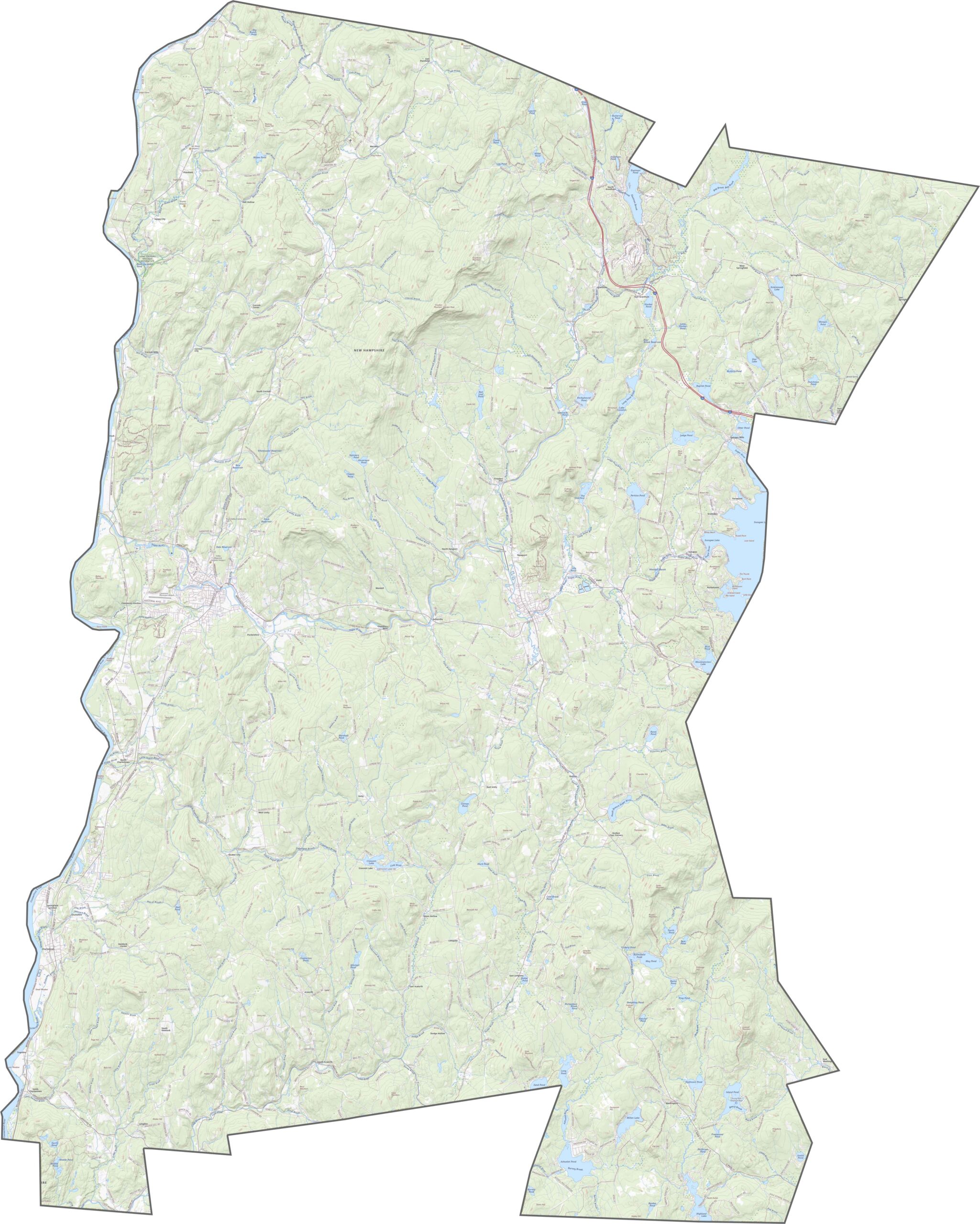
There aren't a lot of big roads in Sullivan County, but there are enough. Highways like Interstate 89 and New Hampshire Routes 10 and 11 connect the towns. Use our zoom tool to explore the county in more detail.
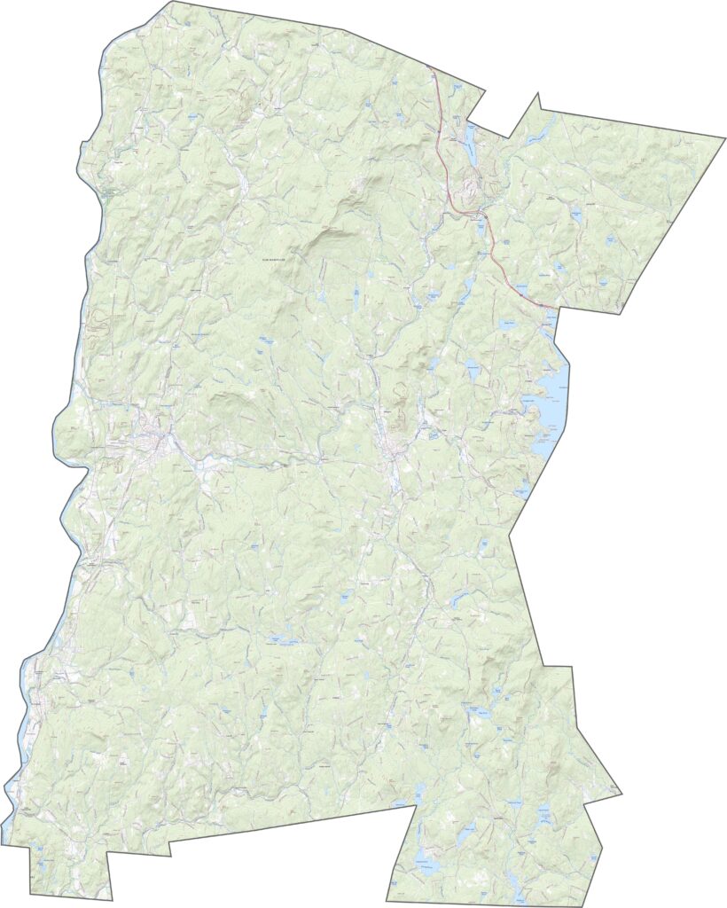
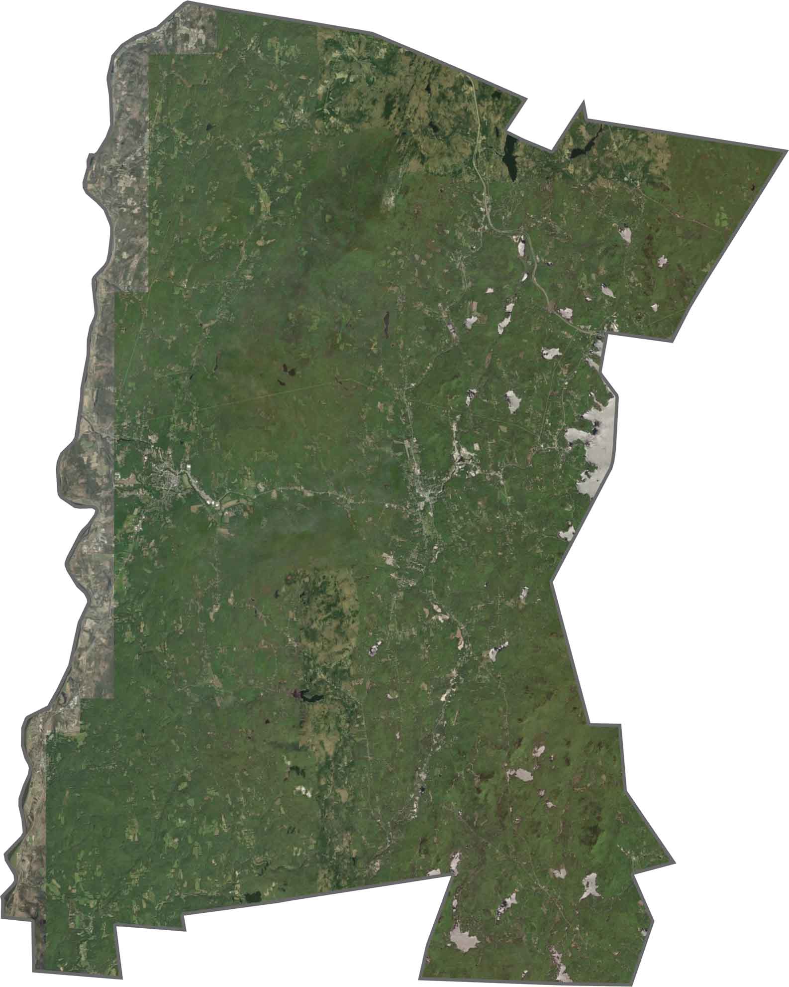
Forests dominate much of Sullivan County, with small towns like Claremont and Newport breaking up the green. The Connecticut River marks the western boundary, winding and wide.
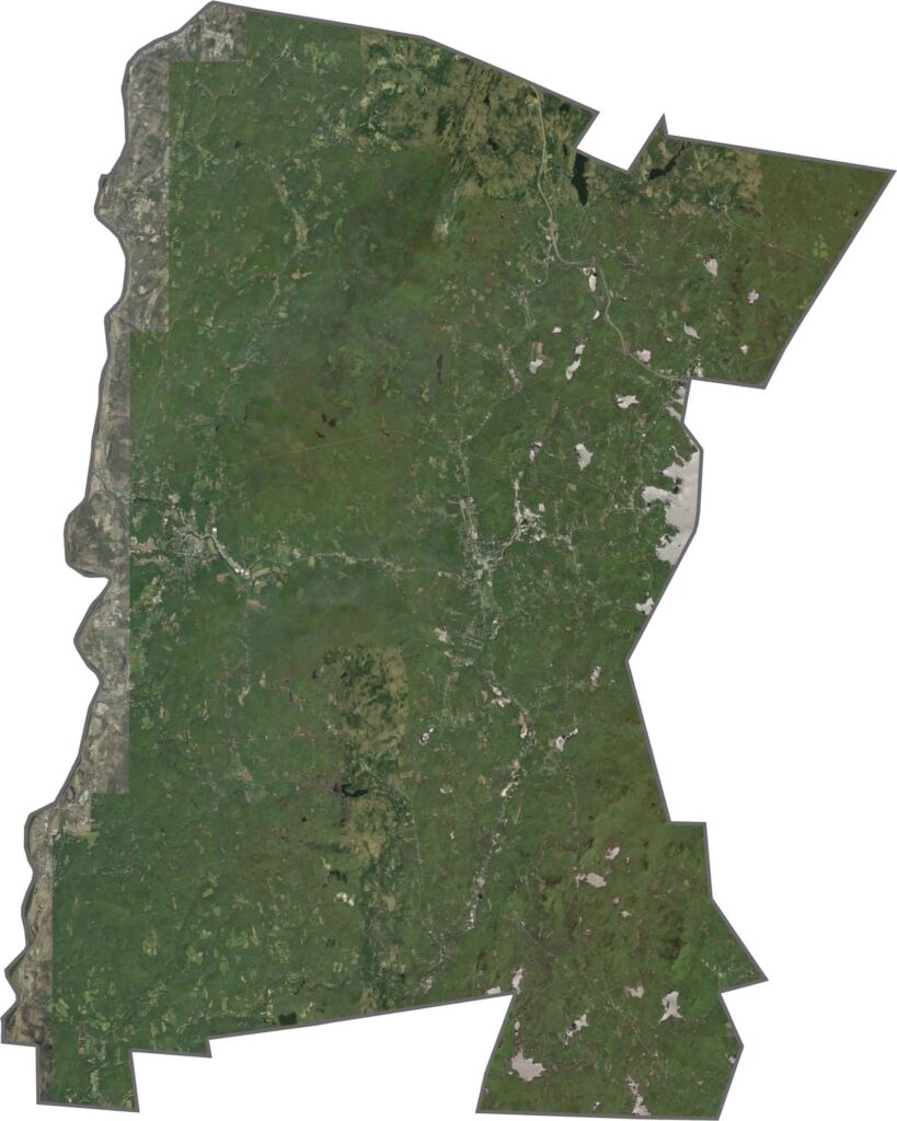
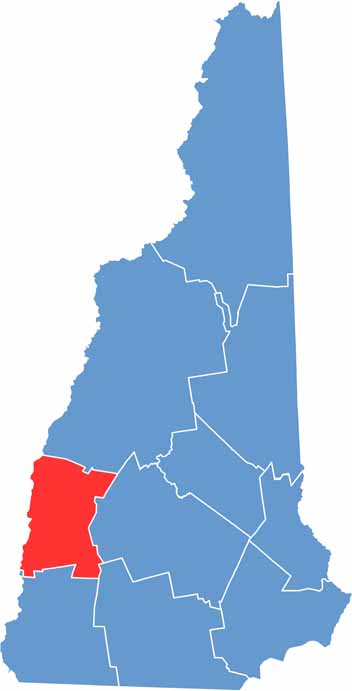
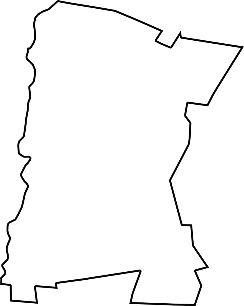
Sullivan County borders the Connecticut River, which also marks the state line with Vermont. The rest of its borders lie within New Hampshire.

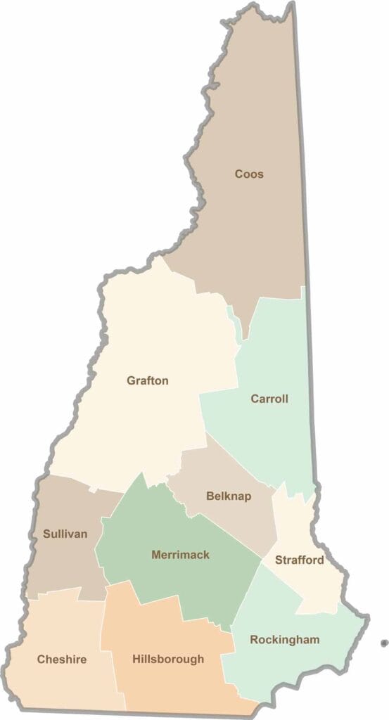
Discover the Granite State, home to 10 counties packed with mountain switchbacks, colonial villages, and Atlantic winds. Enjoy maple syrup mornings, moose crossings, and so much more.