
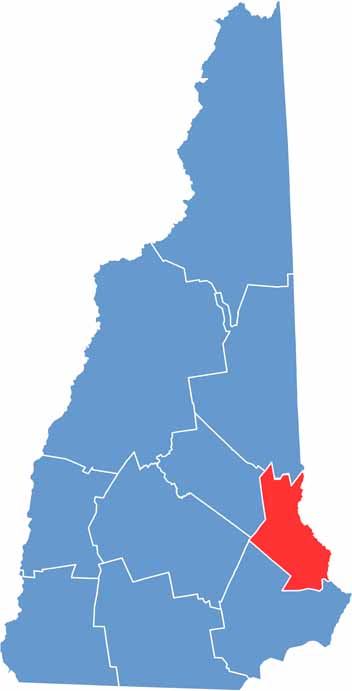
Strafford County sits in eastern New Hampshire, bordering Maine to the east. Dover, the oldest permanent settlement in the state, serves as the county seat. It's a region of rivers and lakes.
History and education meet here, and the University of New Hampshire in Durham brings a youthful energy to the area. Farmington was once known for its shoe industry and now hosts a quirky scarecrow festival each fall. Traces of the county's industrial past are still visible along the Cocheco River.
Rochester's Opera House has been putting on shows for over a century. Locals love their outdoor recreation, whether it's hiking in Blue Job State Forest or kayaking on the Isinglass River. The county has its share of oddities too, like the world's largest collection of video arcade games in Laconia.
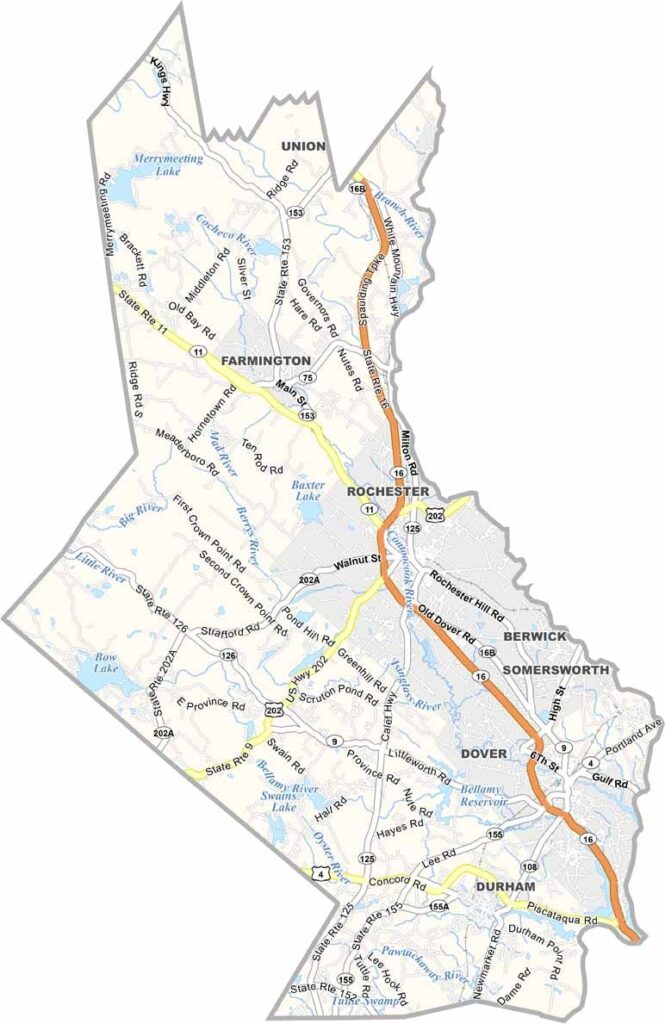
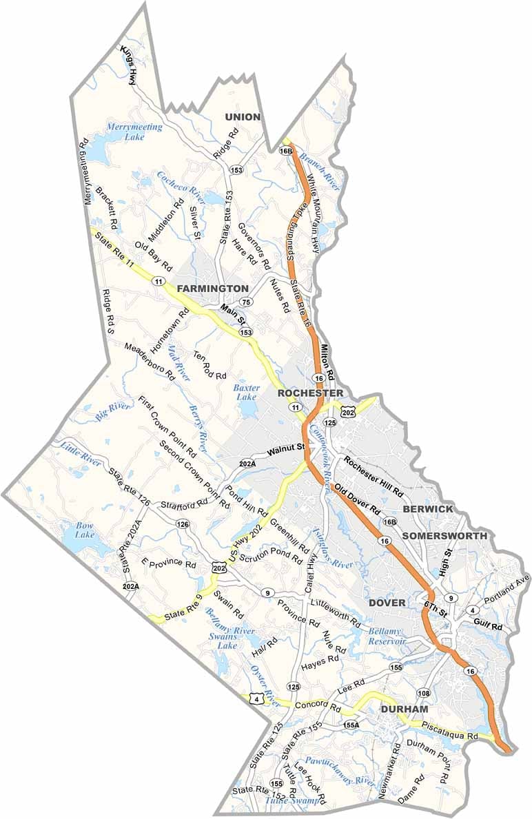
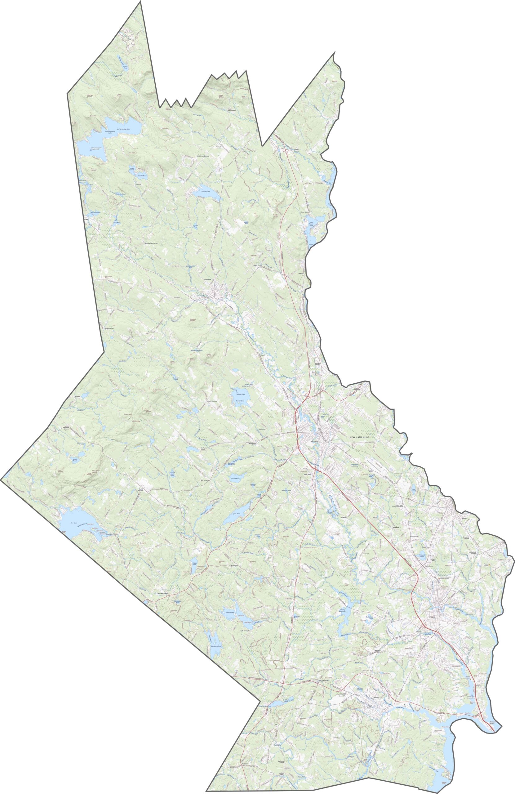
Strafford County's road network is compact but efficient. Route 16, also known as the Spaulding Turnpike, runs north to south and connects Dover and Rochester. There are no interstates here, but the routes are fast enough. Zoom in on our road map below to learn more about Strafford's highways.
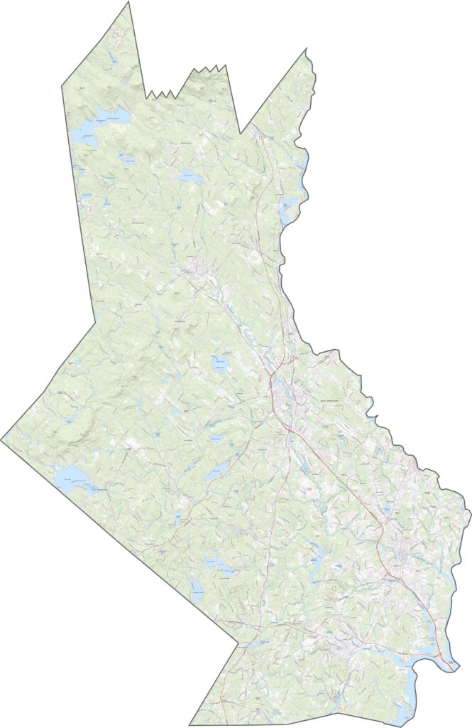
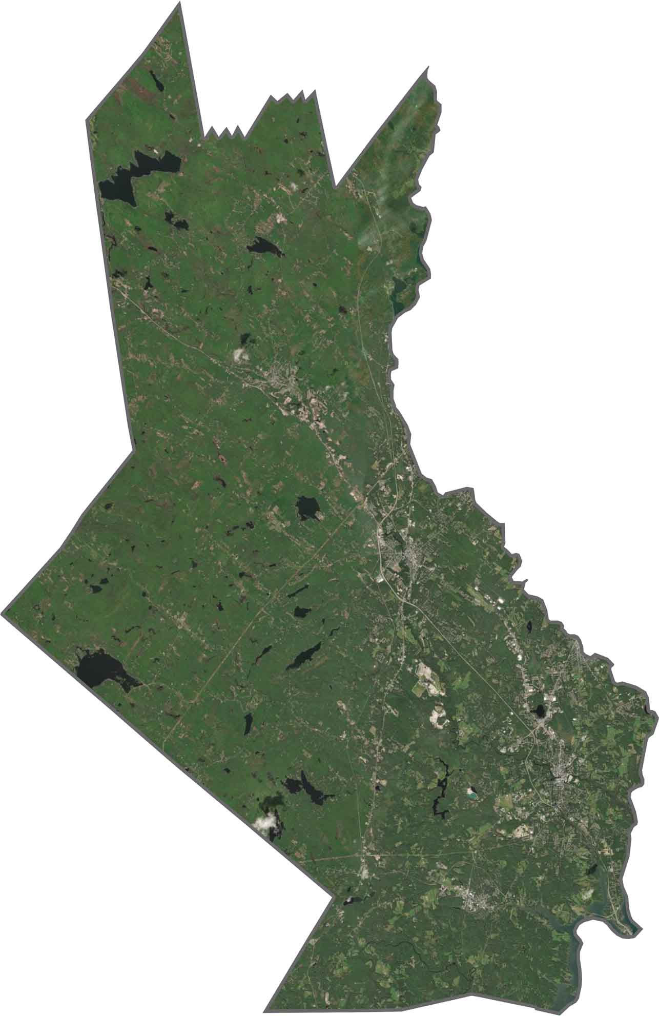
From above, towns peek out through the trees, and Dover, Rochester, and Durham are easy to spot. Forests fill the gaps between them, and rivers like the Cocheco stand out too.
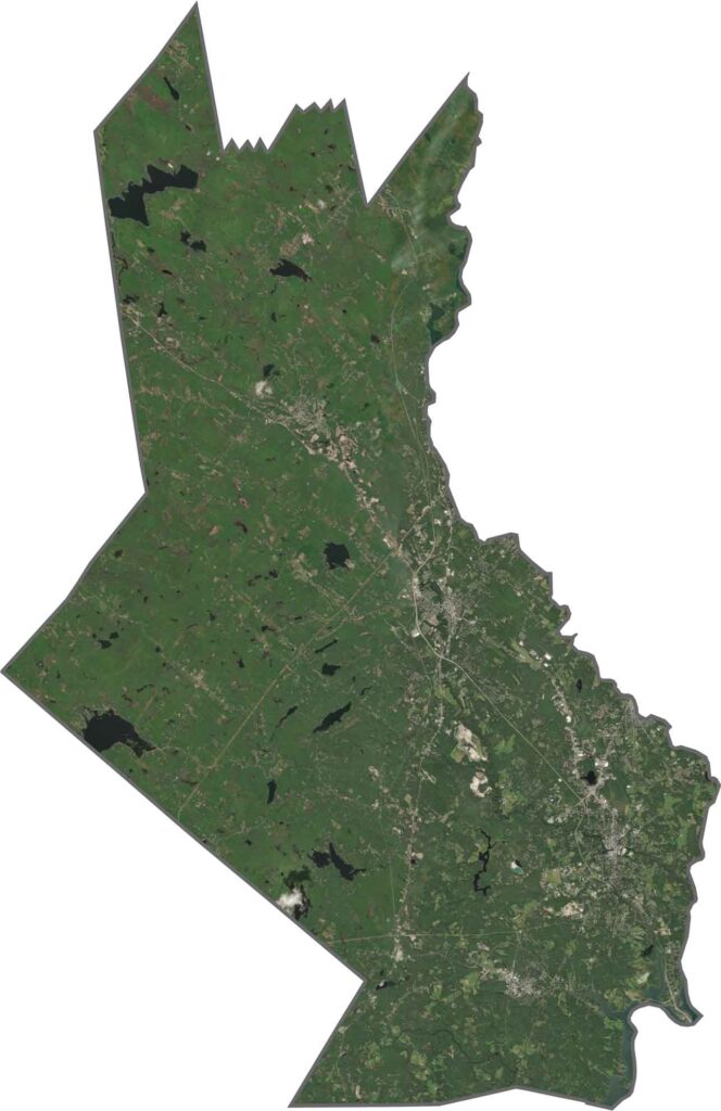
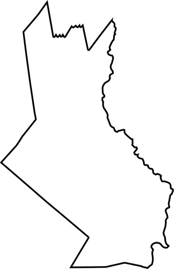
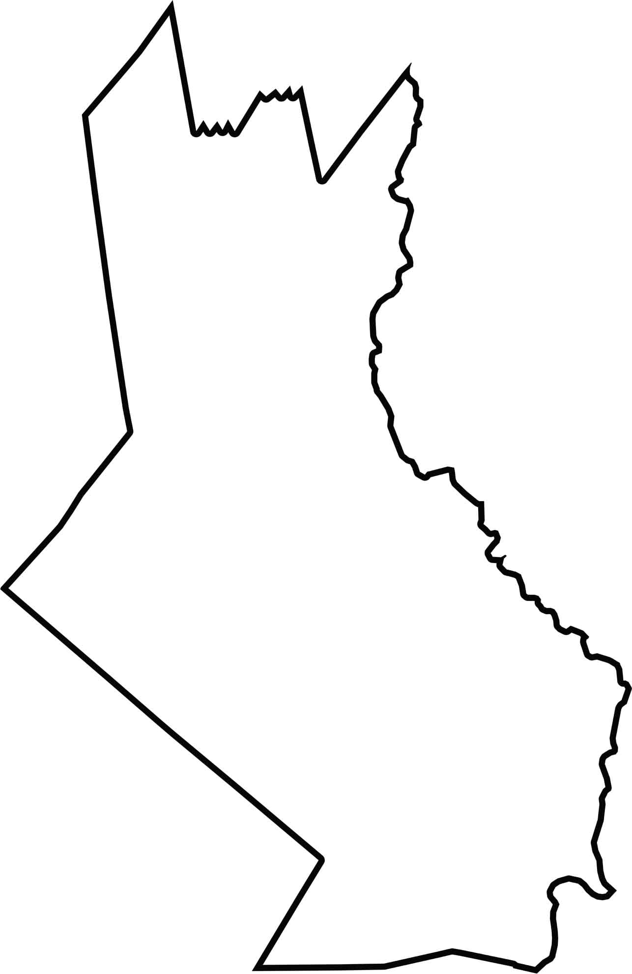
Strafford County forms an irregular shape with two ears at the top. It borders Maine to the east, across the Salmon Falls River.

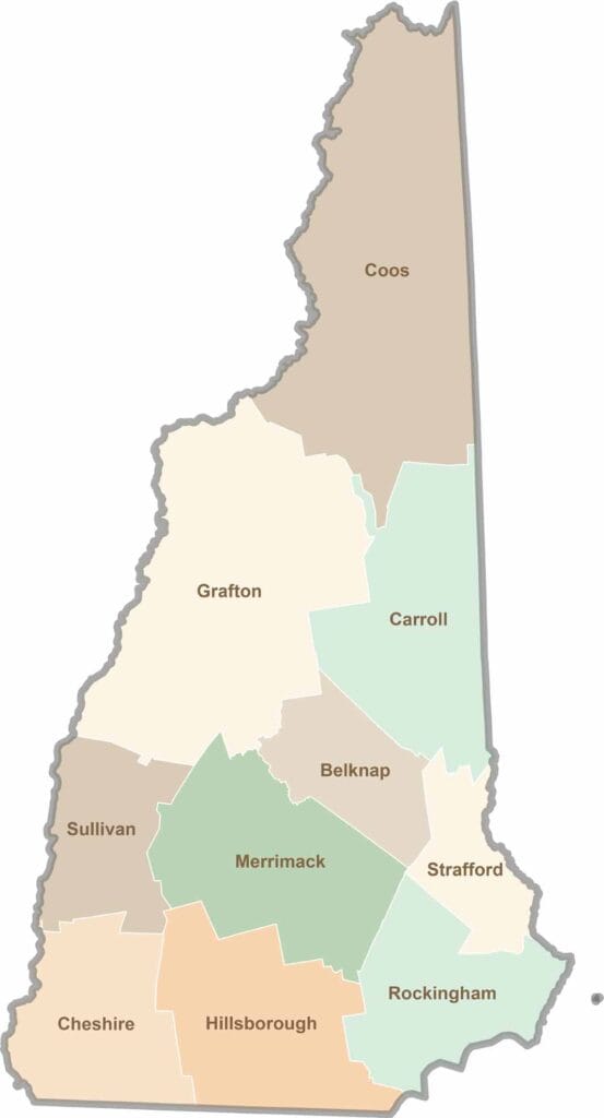
Discover the Granite State, home to 10 counties packed with mountain switchbacks, colonial villages, and Atlantic winds. Enjoy maple syrup mornings, moose crossings, and so much more.