
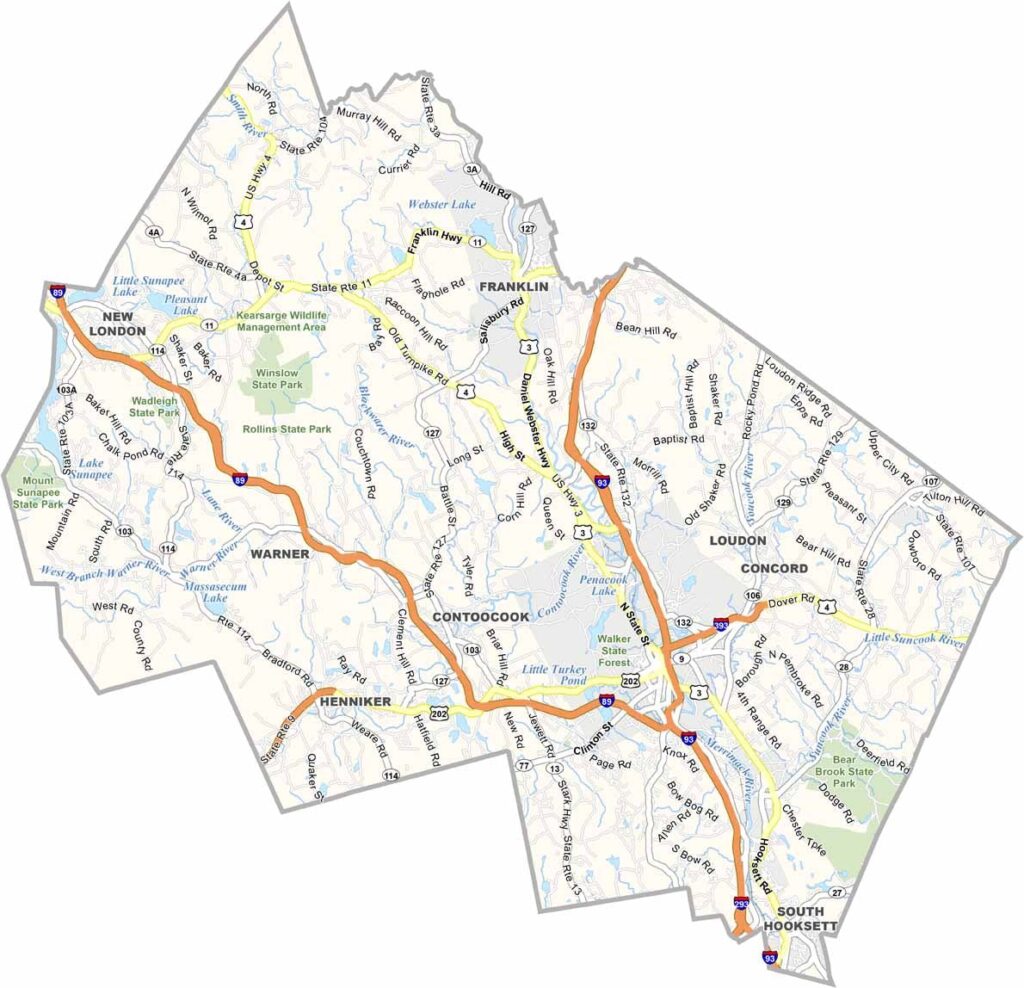
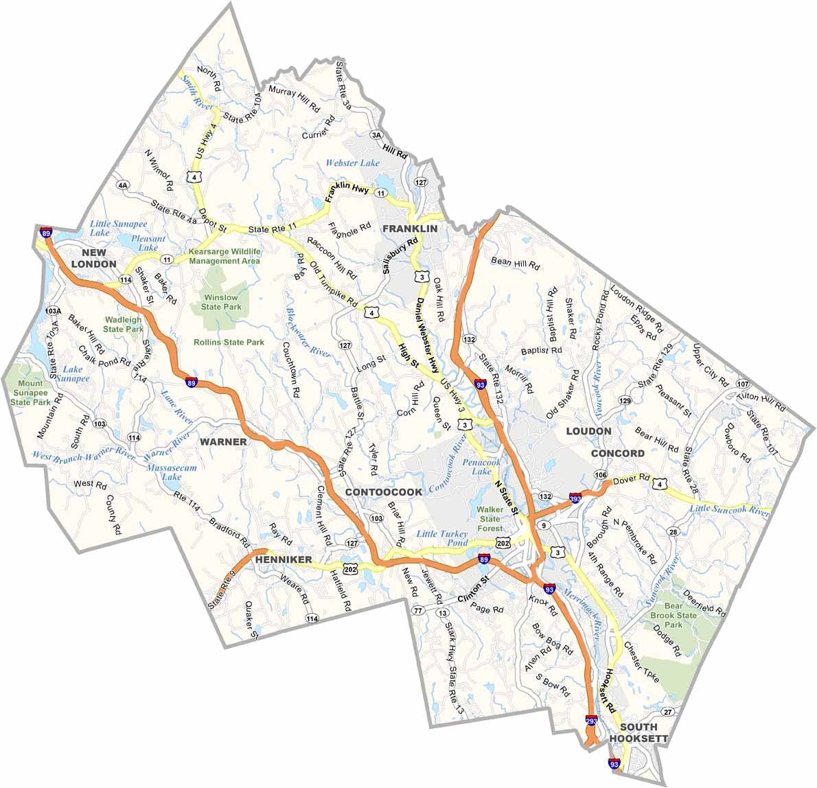
Merrimack County sits right in the heart of New Hampshire, stretching from the capital city of Concord to the Lakes Region. The State House dome dominates Concord's skyline, but drive just a few miles and you're in farm country.
Locals take pride in their maple syrup and apple orchards. The Merrimack River winds through the county, offering great spots for kayaking and fishing, and Bear Brook State Park boasts some of the state's best hiking.
Canterbury Shaker Village offers a glimpse of a simpler past. It's not all rural, though, as towns like Hooksett are growing fast. And the New Hampshire Motor Speedway brings NASCAR fans from all over.
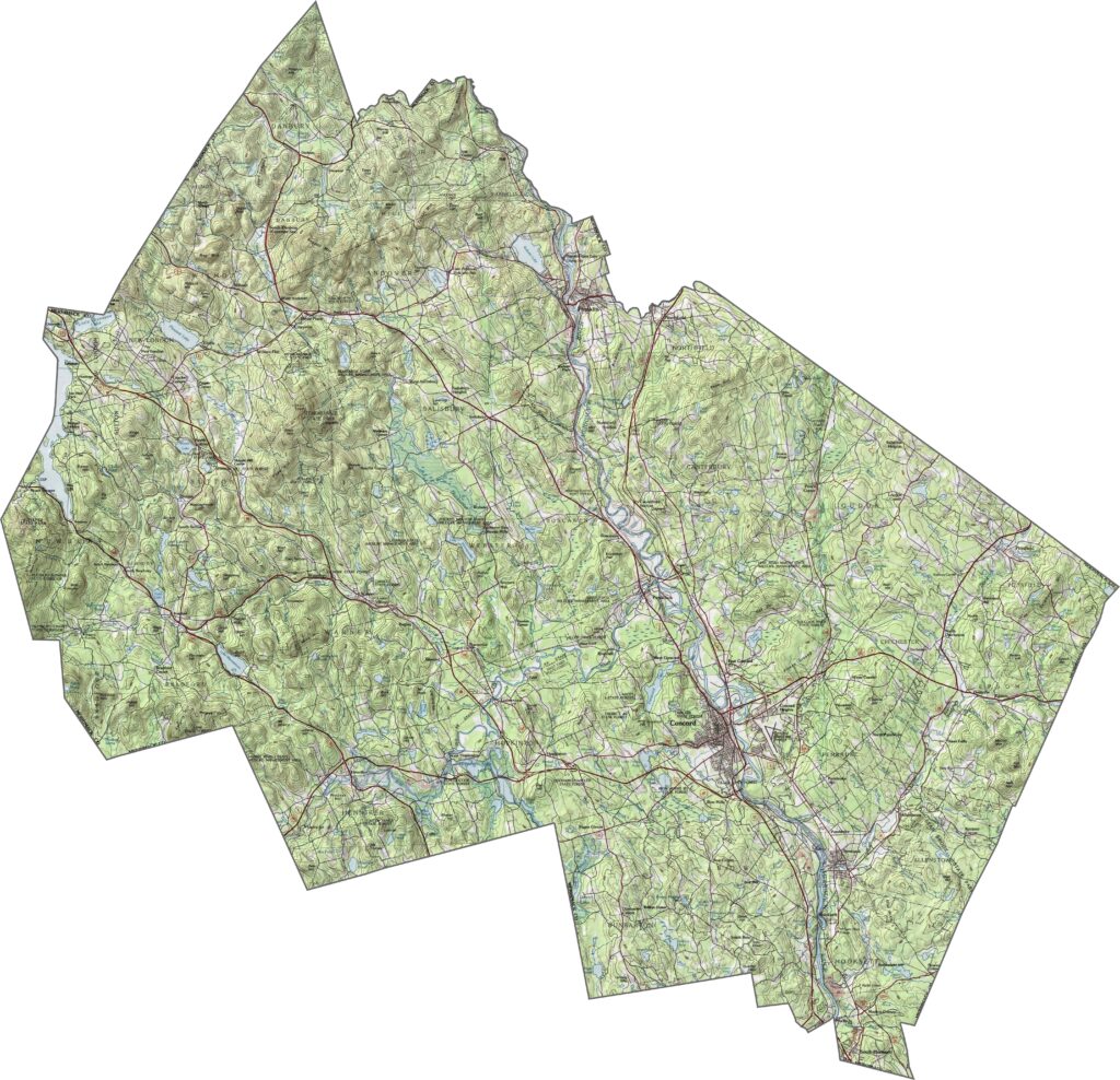
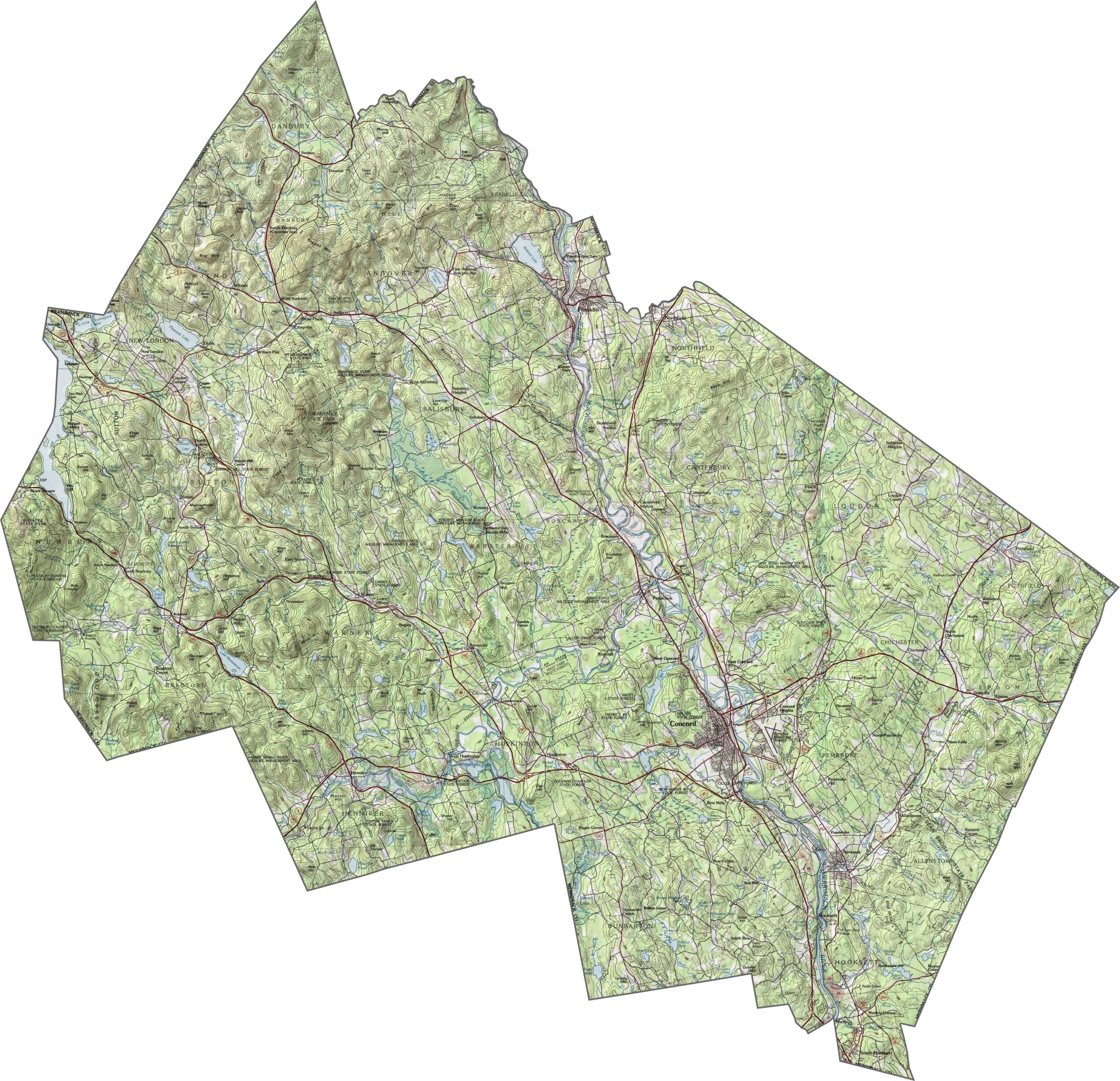
Merrimack County blends low, hilly terrain with a few higher ridges, and the Merrimack River runs right down the middle. Elevation stays moderate, but the land is far from flat. Concord sits in a wide valley, while forests and small peaks fill the space between towns. Use our zoom tool to explore the county in detail.
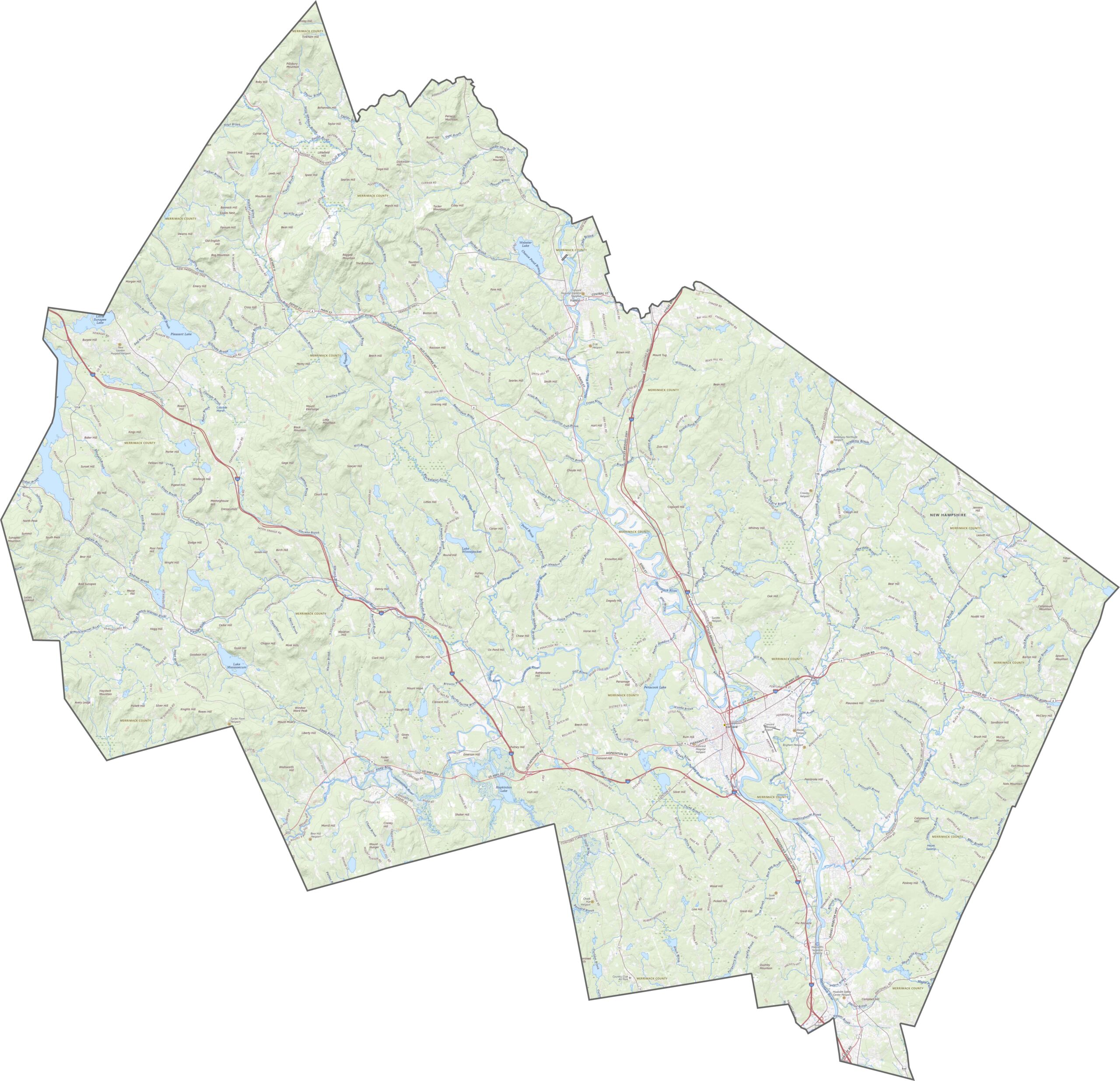
Merrimack County has a healthy mix of roads. Interstate 93 runs straight through from north to south, while Route 4 cuts across from east to west. Backroads spread out from the cities, connecting rural corners. Use our zoom tool to see just how well connected the county is.
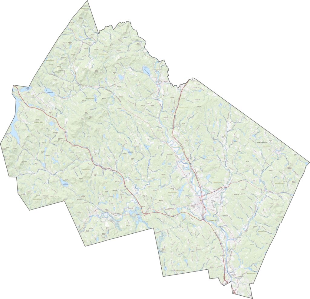
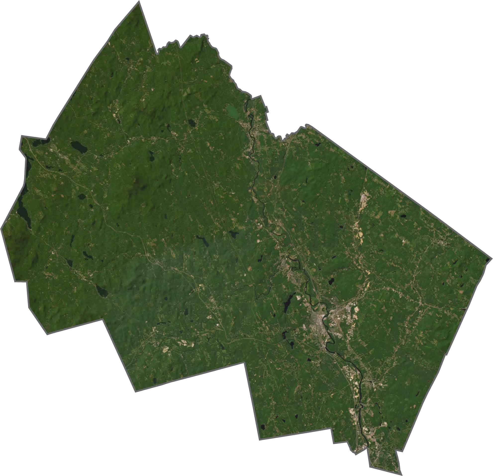
Concord stands out as the urban center, but just outside the city the view turns green quickly. Forests, fields, and small lakes fill the landscape, and the Merrimack River slices a long, clear line down the middle. Development lines the river, with woods beyond it.
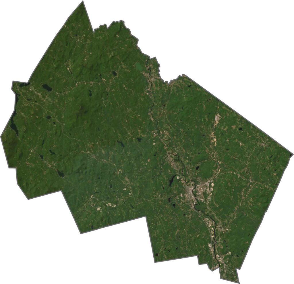
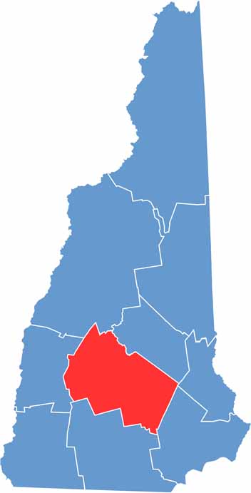
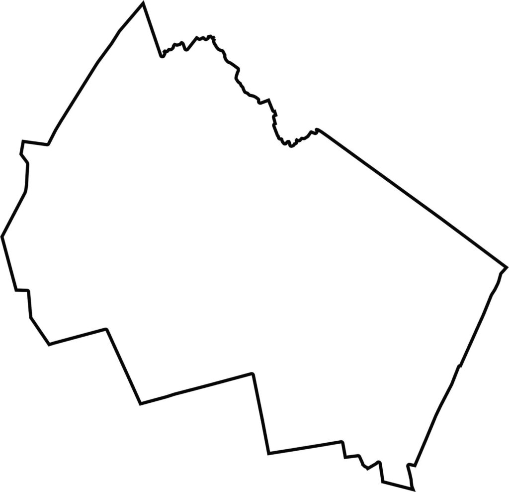
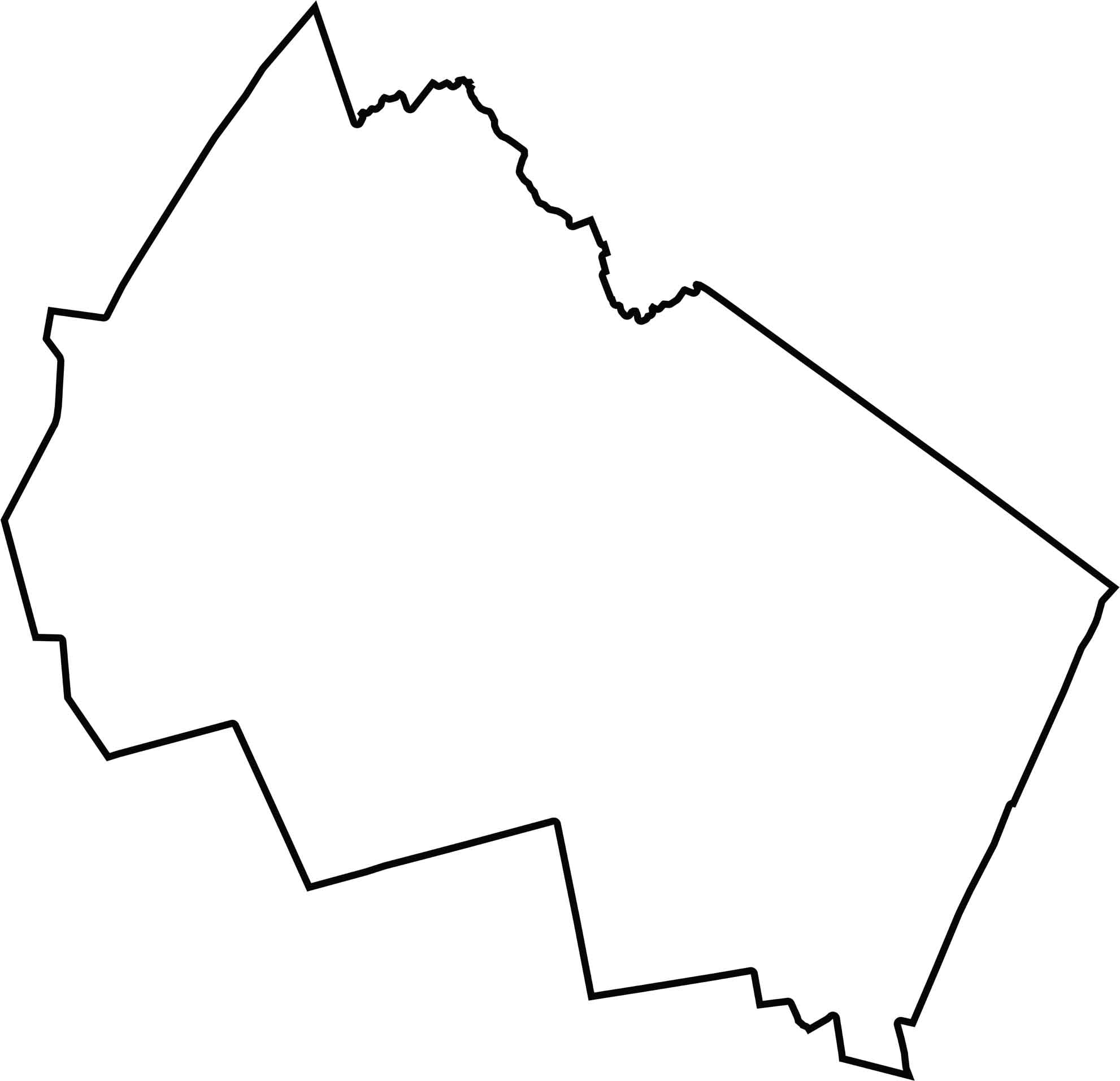
Merrimack County is shaped like a tilted rectangle with a few bites taken out. Other New Hampshire counties surround it on all sides, and no other states border it.
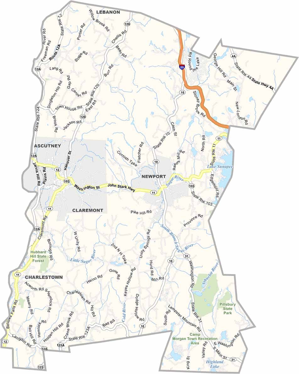
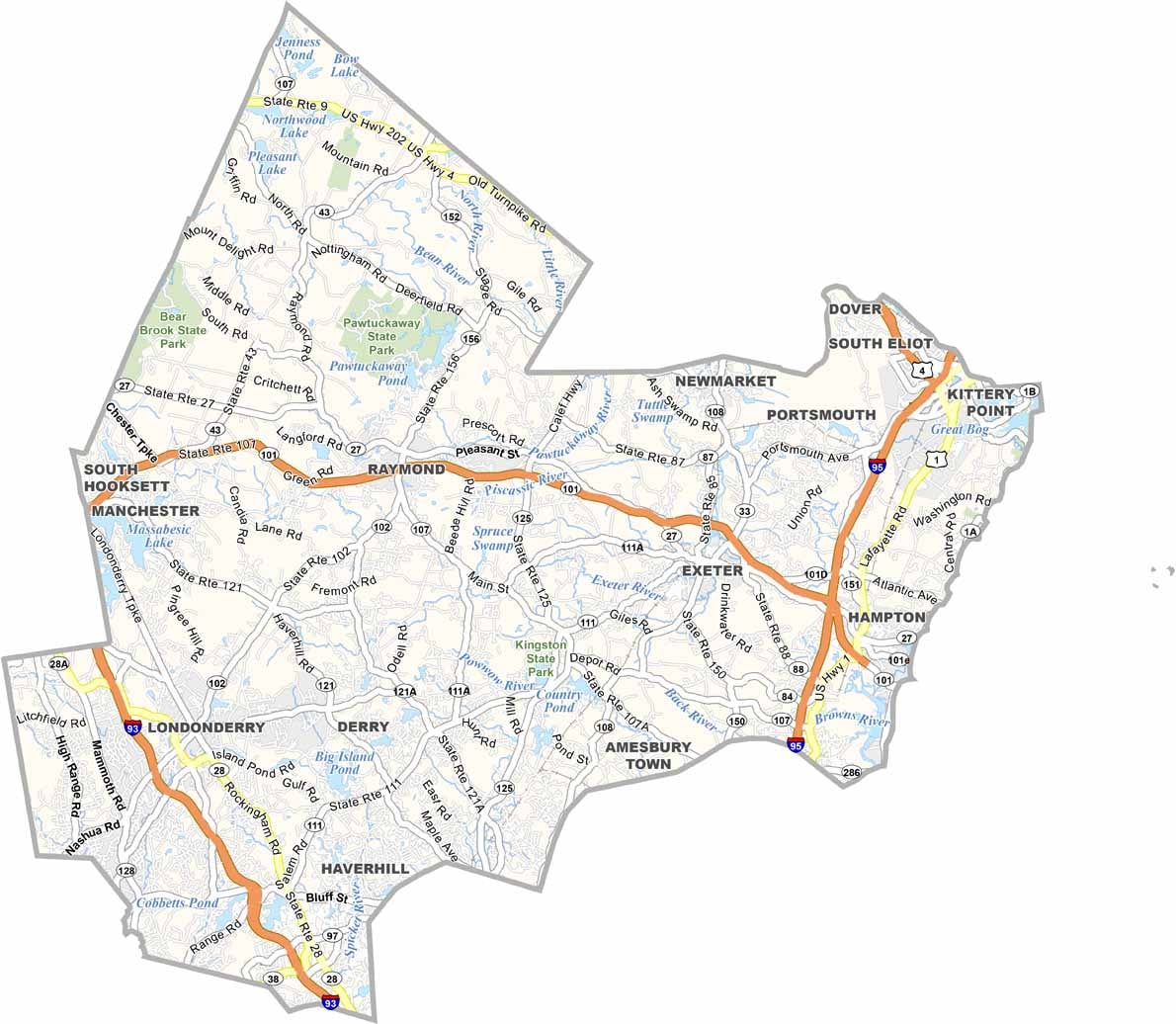

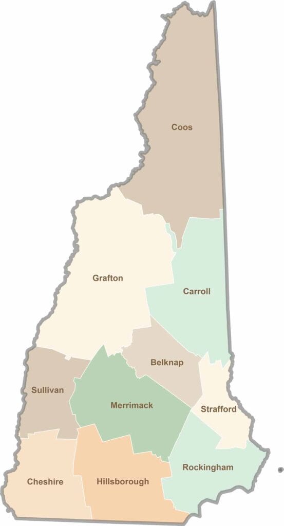
Discover the Granite State, home to 10 counties packed with mountain switchbacks, colonial villages, and Atlantic winds. Enjoy maple syrup mornings, moose crossings, and so much more.