
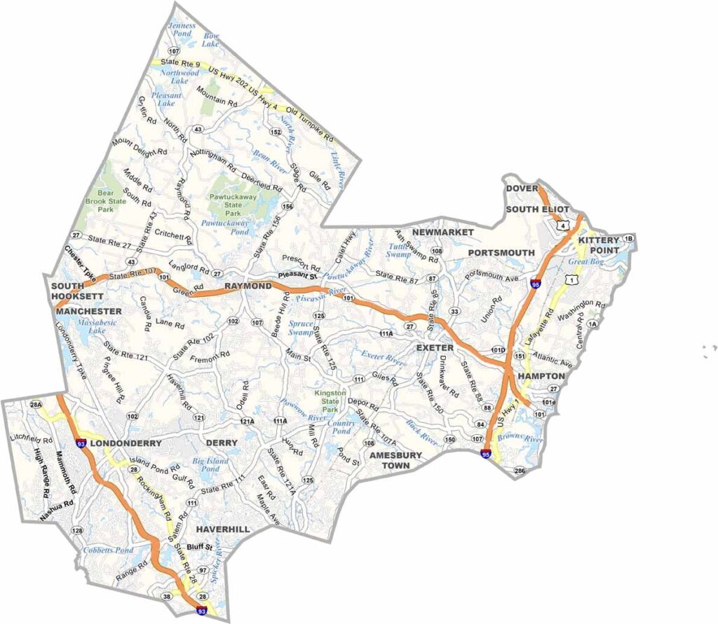
Rockingham County covers the southeastern corner of New Hampshire, stretching from the Atlantic coast to the outskirts of Manchester. It's a place of beaches and history, and Portsmouth draws tourists year-round.
Remnants of the area's colonial past are still visible in towns like Exeter, but the coast is the real star. Hampton Beach comes alive in summer with concerts and sandcastle contests, while inland you'll find apple orchards and horse farms.
It's not all quaint, though. Salem, on the Massachusetts border, has become a retail hub. The county also has its share of quirky attractions, like America's Stonehenge in Salem, where locals debate whether it's ancient history or a clever hoax.
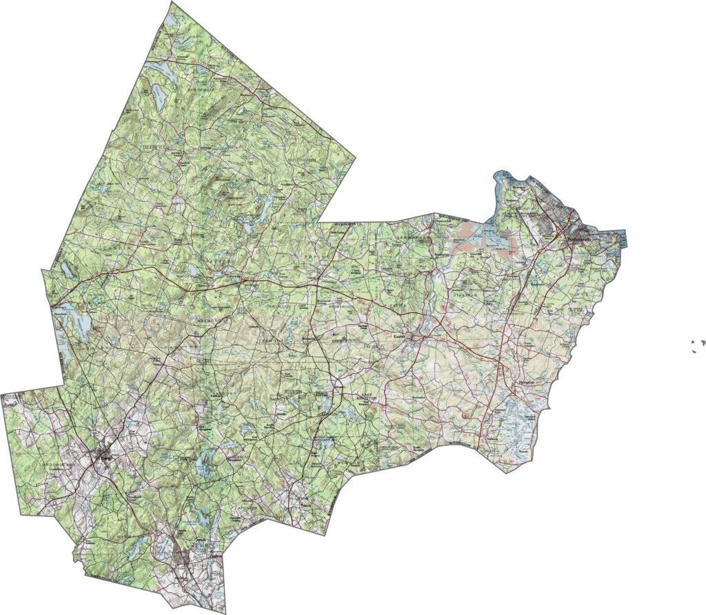
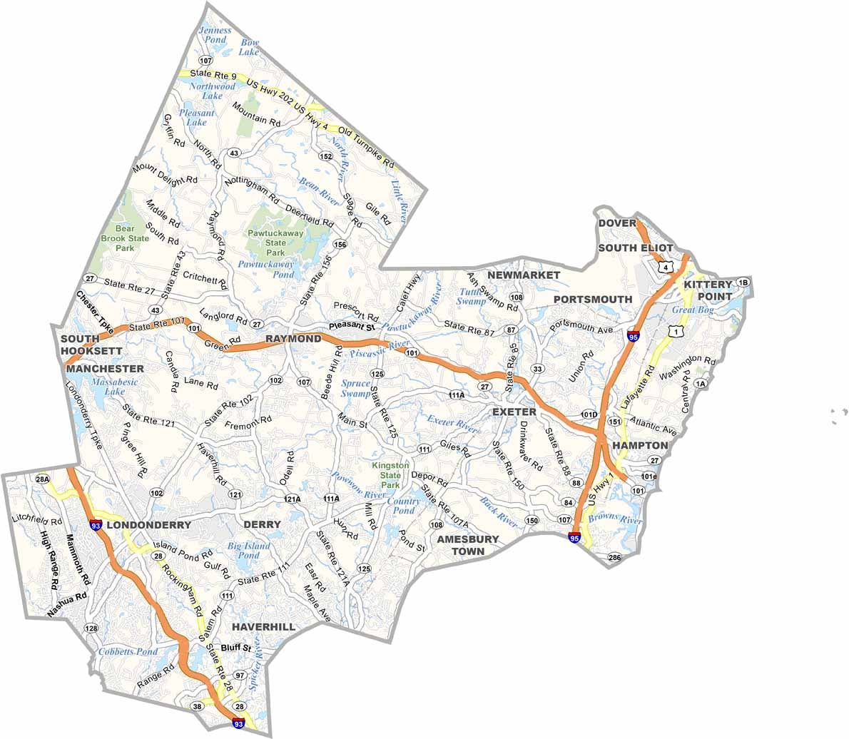
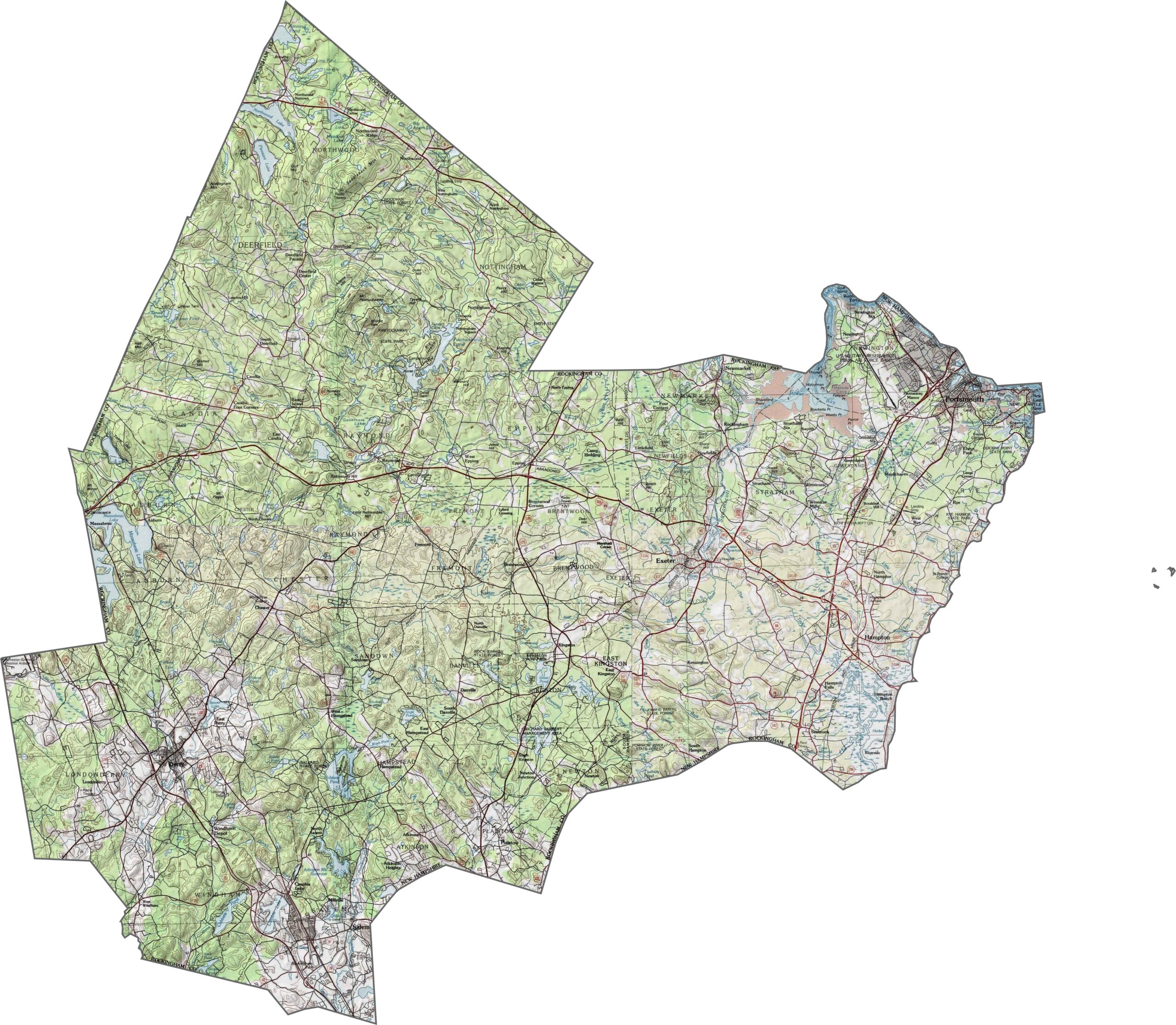
Rockingham County is mostly low and coastal, but don't mistake flat for boring. The Seacoast is full of marshes and tide-influenced rivers, while the inland areas offer soft hills and scattered lakes. The terrain is more subtle than scenic, but the changes are real. Use our zoom tool to enlarge the topographic map.
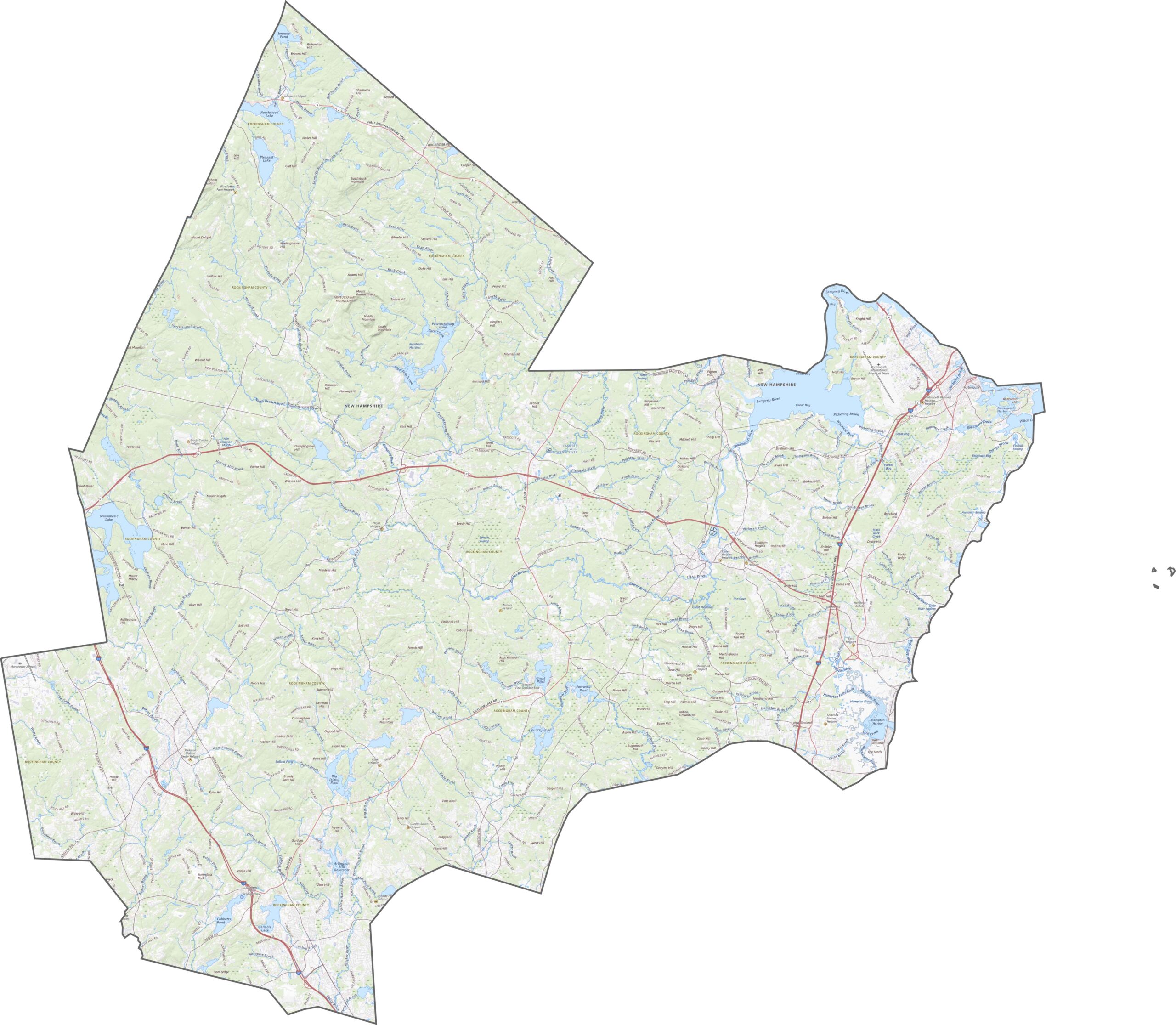
This county has it all. I-95, I-93, and Route 101 run through parts of the county, and Route 1 hugs the coast. Although it's the most populous region on the Seacoast, the roads are efficient. For more detail, our zoom tool lets you explore every road and junction.
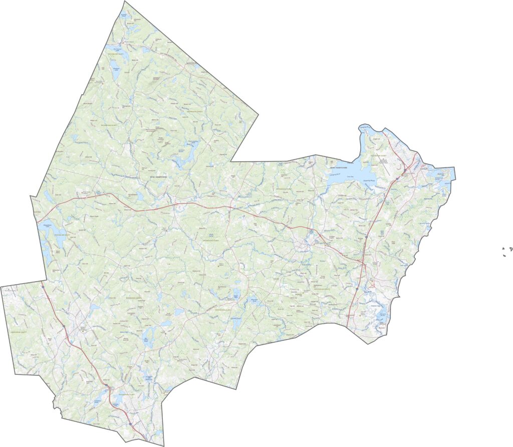
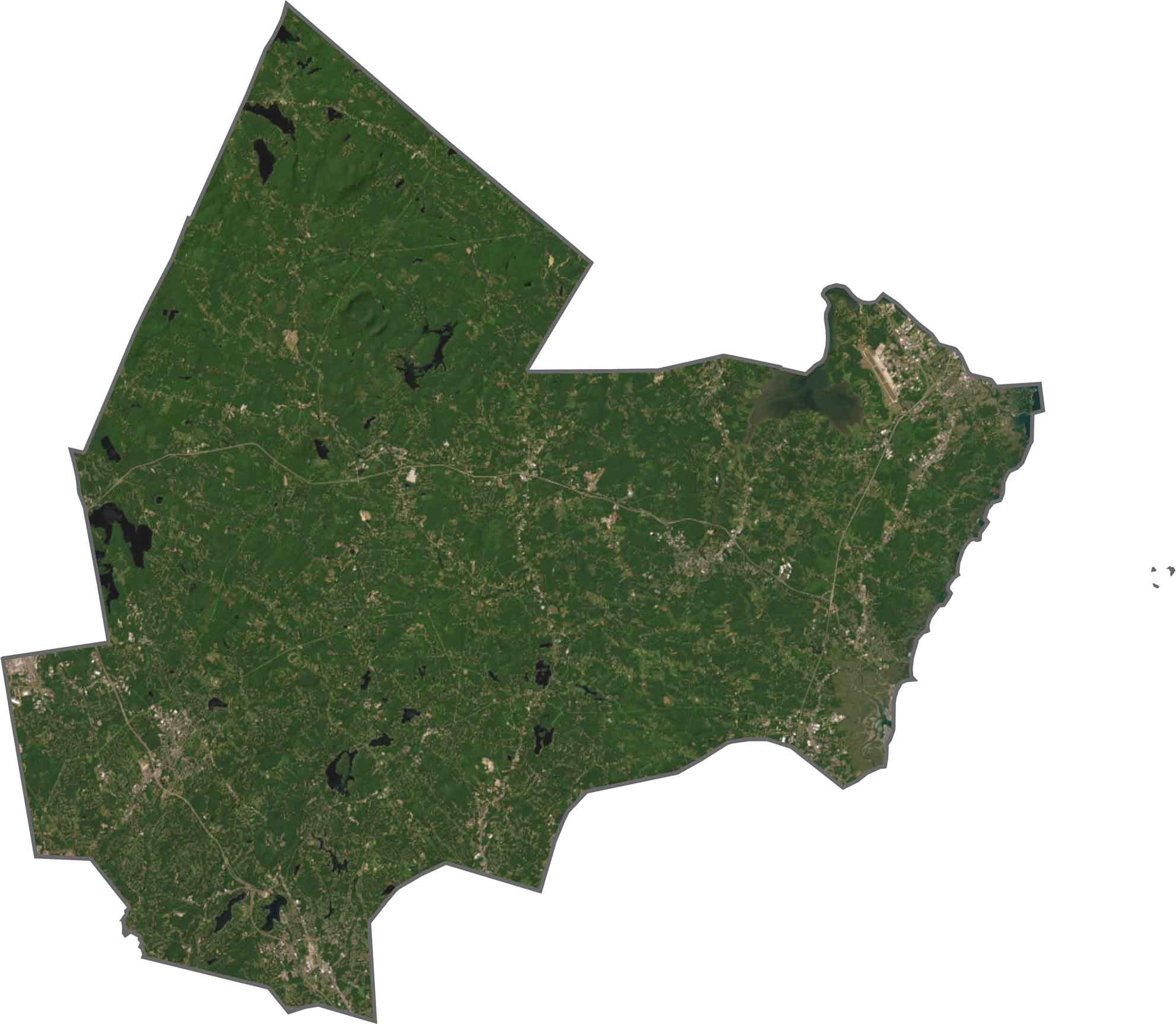
The coastline jumps out first, with Portsmouth glowing with development. Moving inland, suburbs and towns fill the view, and trees break up the neighborhoods, especially toward the western edge.
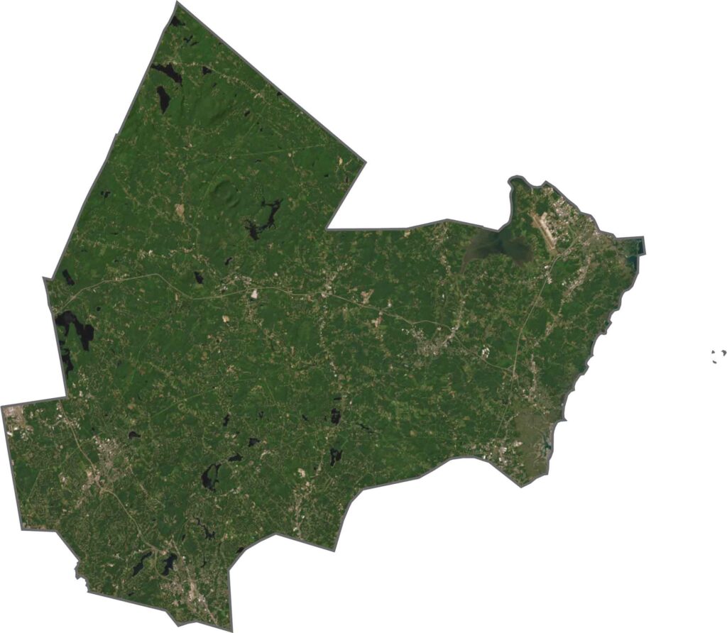
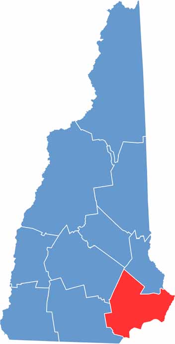
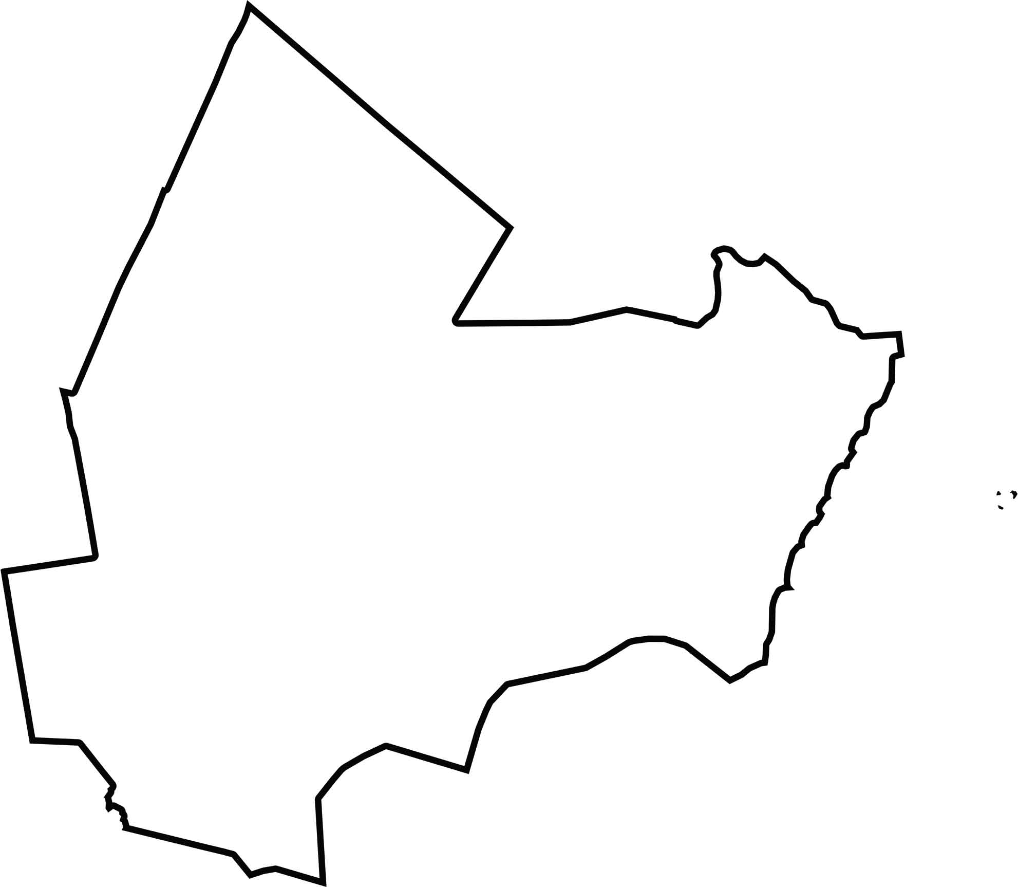
Rockingham County stretches diagonally from the coast deep into the interior. It borders Massachusetts to the south and hugs the Atlantic Ocean in the southeast. Its long, tapered shape resembles a wedge pointing toward the sea.
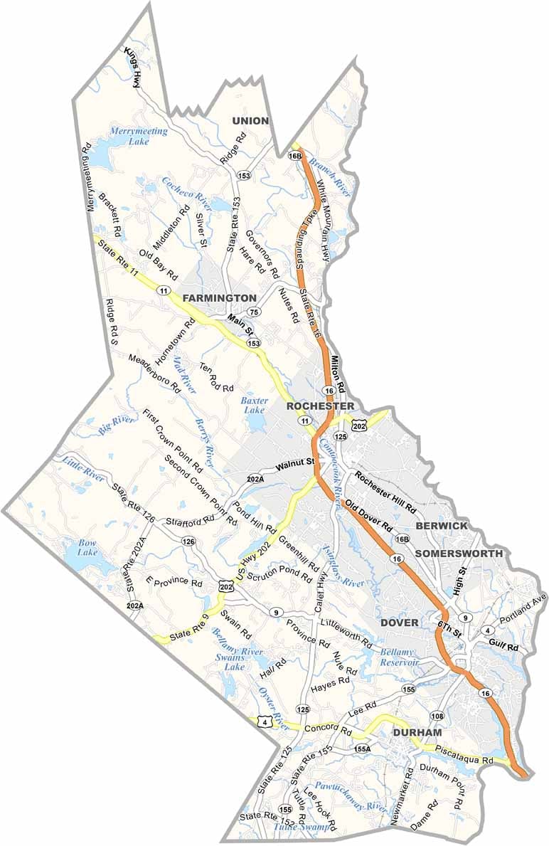
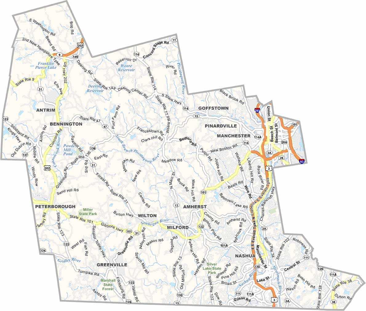
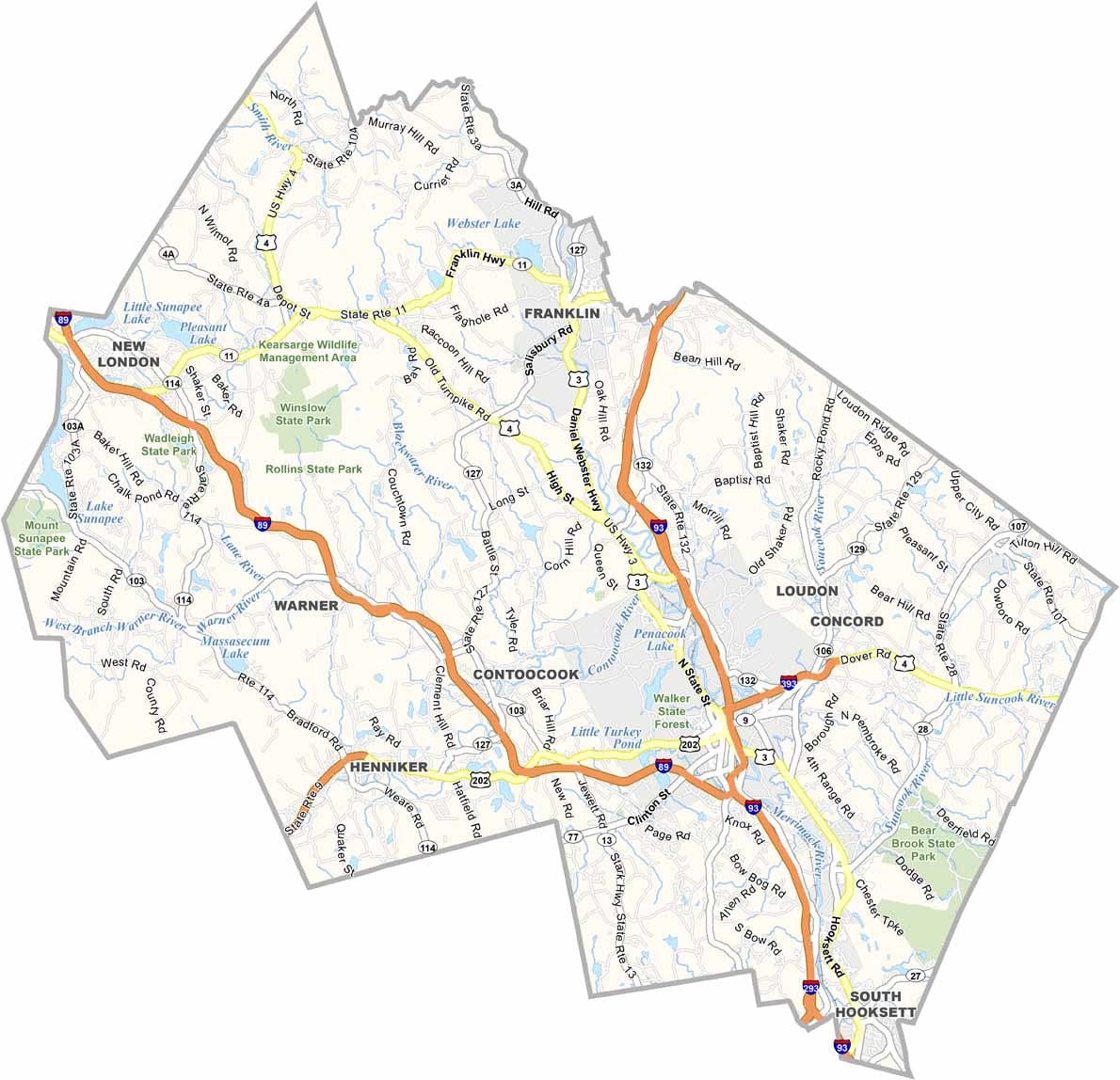
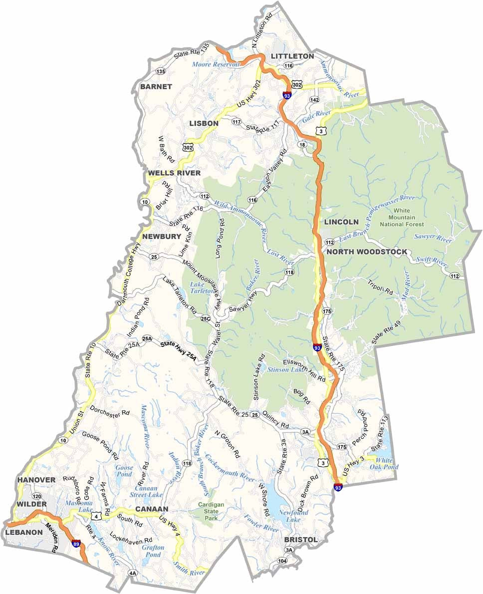

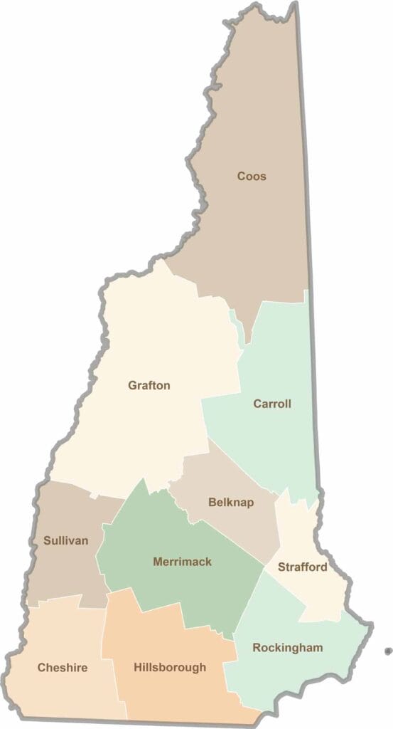
Discover the Granite State, home to 10 counties packed with mountain switchbacks, colonial villages, and Atlantic winds. Enjoy maple syrup mornings, moose crossings, and so much more.