
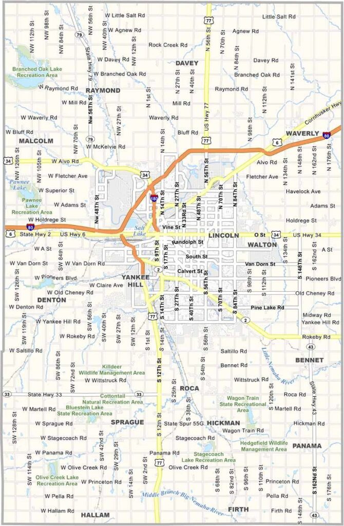
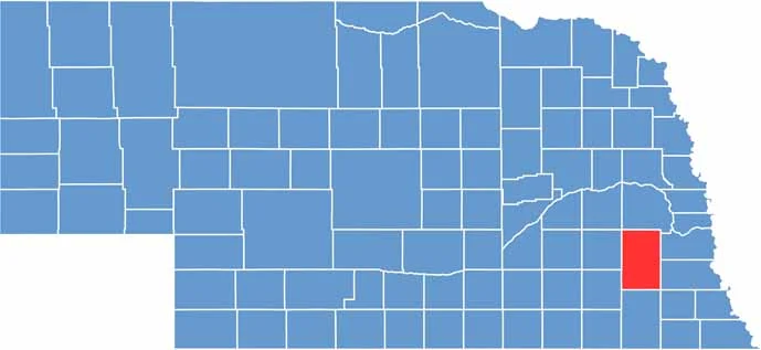
Lincoln, the state capital, dominates Lancaster County. Located in the middle of southeast Nebraska, it is home to the main campus of the University of Nebraska.
The county has seen big change compared with the rural counties around it, but you don't have to drive far to reach farmland. It's a mix of urban and rural, the best of both worlds, some might say.
The historic Haymarket area in Lincoln is worth checking out, with old warehouses turned into shops and restaurants and always something going on. Spring and fall are beautiful. Football is religion here, and on game days the whole city turns red. Go Huskers!
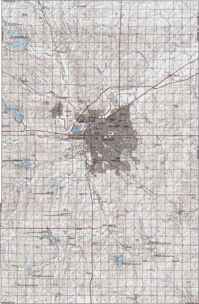
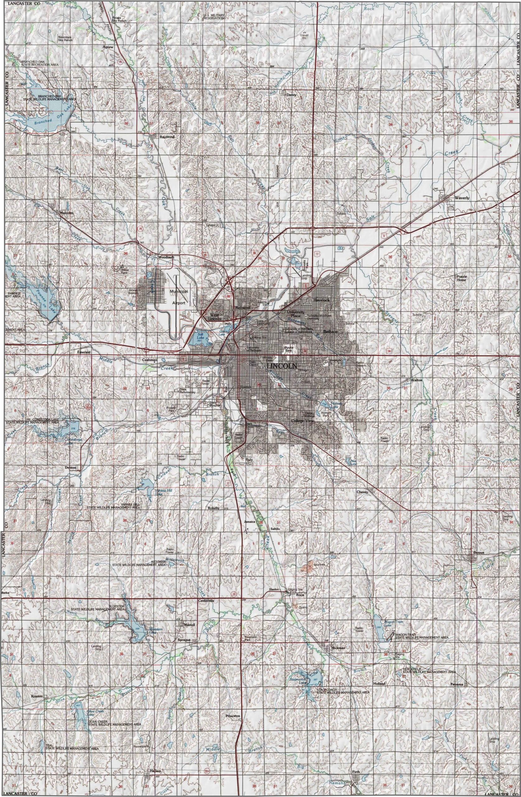
Lancaster County's landscape is not entirely flat. Elevation gently rises west of Lincoln, and though the county lacks major hills, rolling prairies give it shape. Lincoln is the centerpiece, right in the middle of the county. Try using our zoom tool to explore our Lancaster County topographic map below.
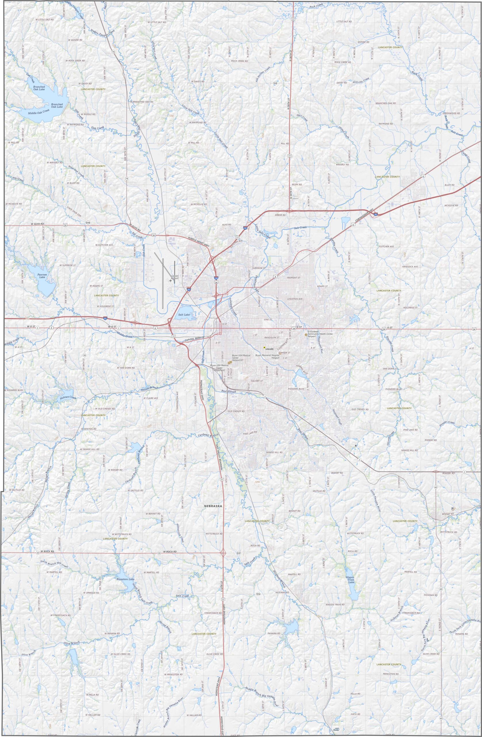
Several highways crisscross Lancaster County. U.S. 77 runs north-south through Lincoln, while I-80 cuts across the north side of the city. Though Lincoln is the hub, roads stretch out into the countryside.
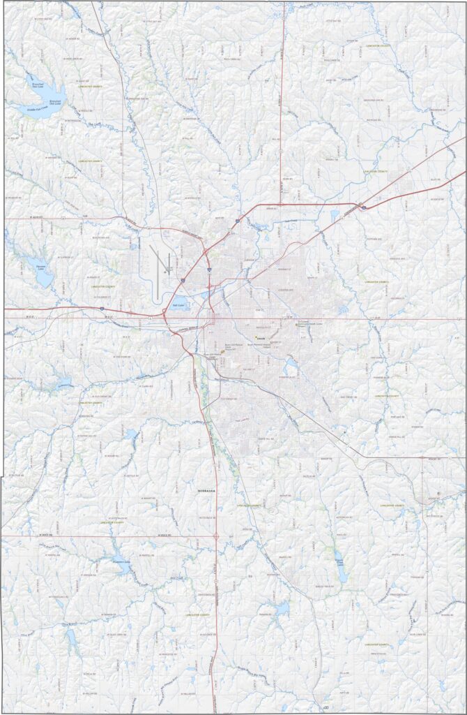
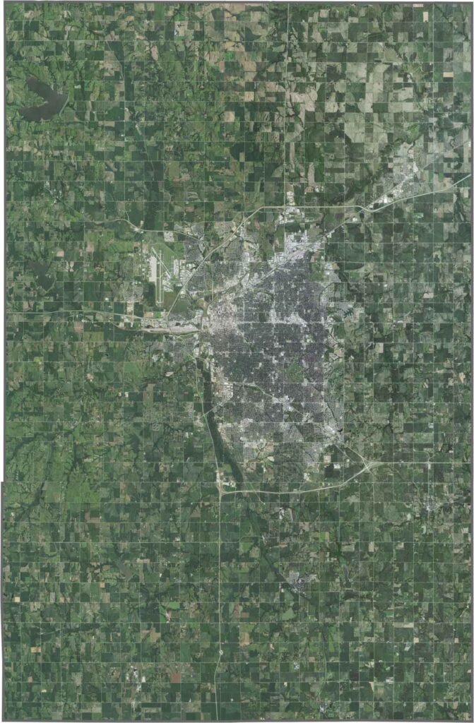
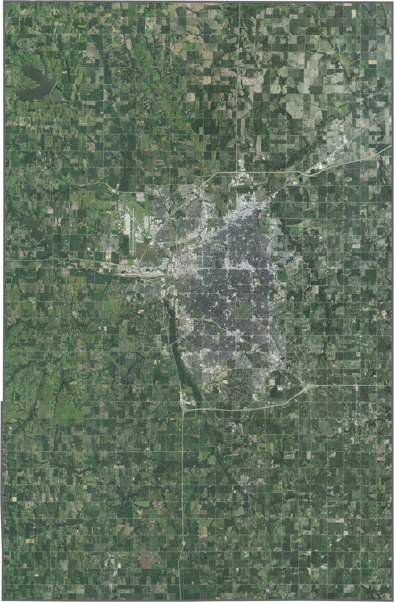
Lincoln fills the center of Lancaster County with roads, buildings, and urban development, but farmland surrounds it in every direction. Fields are squared off and spread wide. Though urban growth stretches outward, green still stands out the most in our satellite map of Lancaster County.
Lancaster County is almost a perfect rectangle. No major river forms any of its edges, and though Salt Creek runs through the county, it doesn't serve as a border. All of its borders touch other Nebraska counties, so there are no neighboring states here.









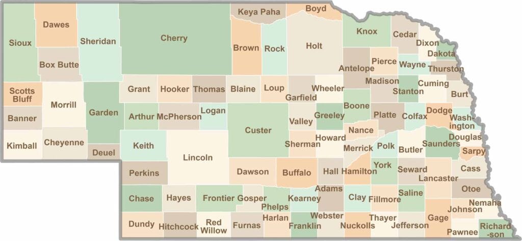
Endless horizons, golden fields, and quiet backroads. Explore the Cornhusker State and learn about Nebraska's 93 counties. Slow down and let the prairies work their magic.