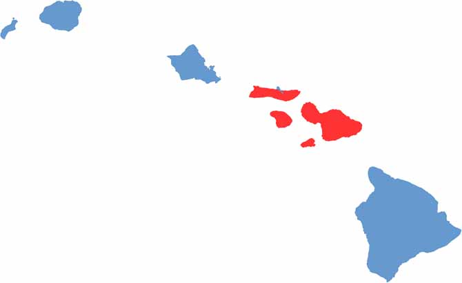
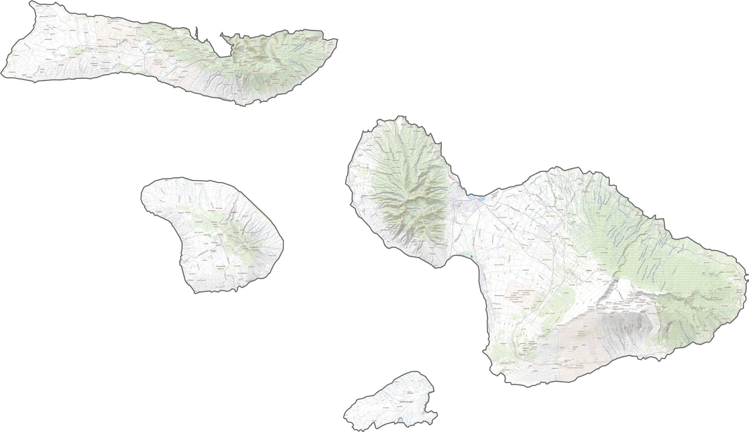
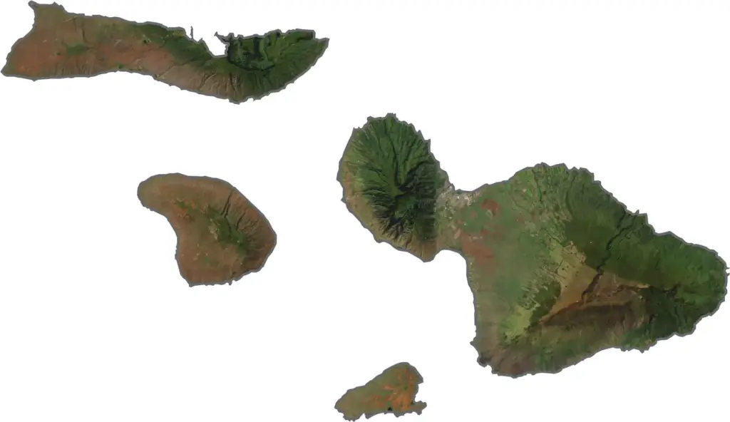
Maui County encompasses the islands of Maui, Lānaʻi, and Molokaʻi, each offering its own unique character. Maui, often called the “Valley Isle,” is the county’s centerpiece, known for its diverse landscapes that range from pristine beaches and lush rainforests to the towering slopes of Haleakalā, one of Hawaii’s most iconic volcanic landmarks.
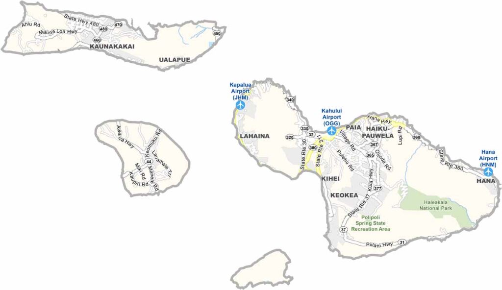
The famous Road to Hana winds through tropical scenery, while historic Lahaina reflects the island’s rich maritime heritage. Communities such as Pāʻia offer a laid-back surf culture, while Kīhei and Wailea are known for their resorts, golf courses, and visitor amenities. In contrast, Upcountry Maui provides a rural atmosphere with rolling landscapes and ranching traditions.
Beyond Maui, Lānaʻi is known for its exclusivity and quiet charm, while Molokaʻi remains one of Hawaii’s least developed islands, preserving a strong sense of local culture and community. During the winter months, the waters surrounding the county become a popular destination for whale watching, adding to the region’s appeal. Despite challenges such as rising living costs and traffic congestion, Maui County continues to be cherished for its natural beauty, relaxed lifestyle, and deep connection to the ocean.
The Big Island’s map showcases a striking variety of landscapes, from towering volcanoes and vast lava fields to lush valleys and tropical forests. Dominated by iconic peaks such as Mauna Kea and Mauna Loa, the island is a study in natural contrasts. On the rainy eastern coast, Hilo serves as the island’s largest town, surrounded by verdant landscapes and waterfalls. Farther south, Hawaiʻi Volcanoes National Park protects a remarkable mix of active volcanic terrain, dense rainforests, and unique ecosystems found nowhere else in the world.
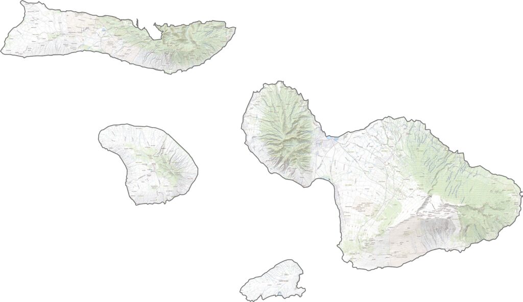
Our Maui topographic map highlights the island’s dramatic blend of rugged mountains, volcanic landscapes, and lush forests. The massive Haleakalā dominates the terrain, with its summit offering a stark, otherworldly landscape unlike anywhere else on the island. Along the western coast, Lahaina adds historic charm and scenic waterfront views. Just offshore, Molokini Crater forms a small crescent-shaped volcanic islet, though its size makes it difficult to distinguish on this map.
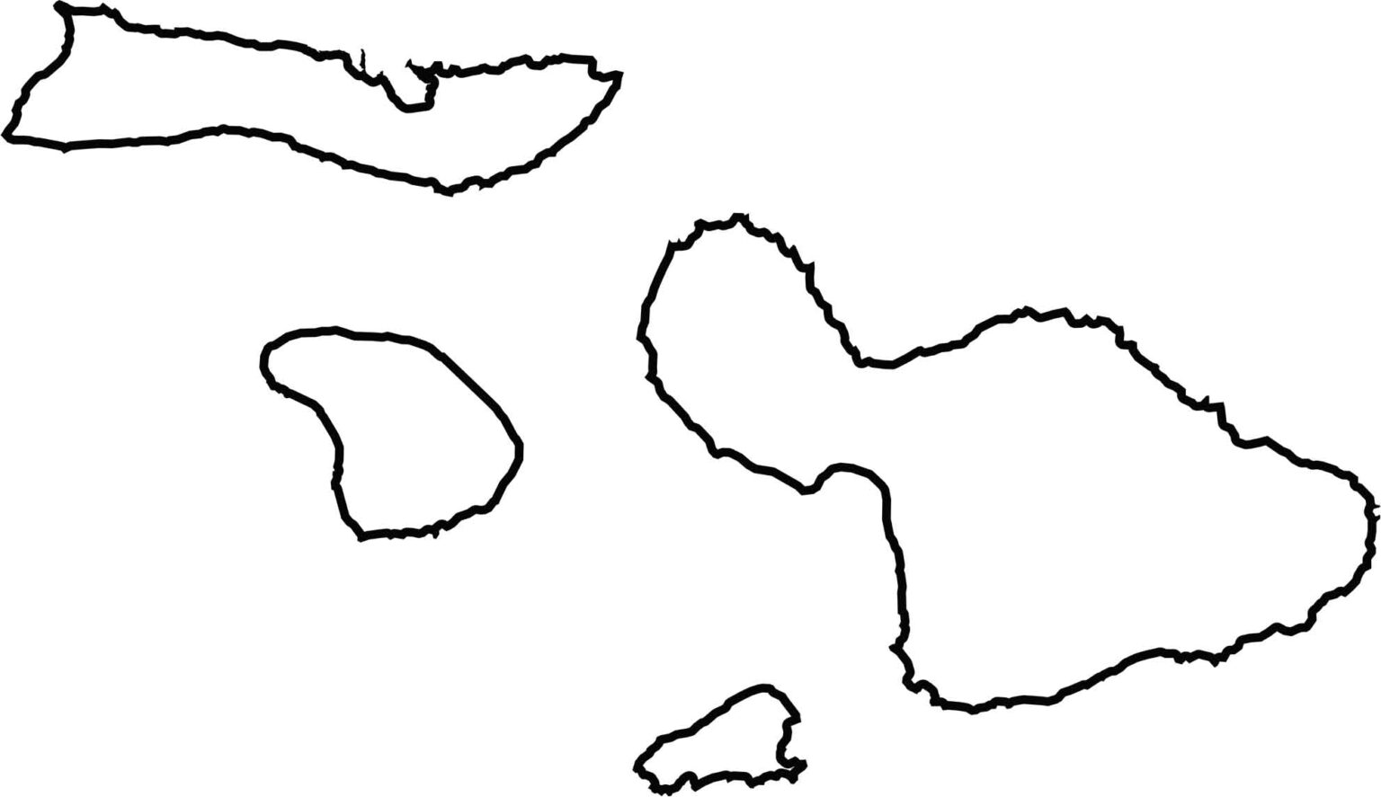
Maui County’s outline is instantly recognizable, with Maui Island resembling a figure-eight or a compressed hourglass shape. On a blank map, its two prominent landmasses—the rugged West Maui Mountains and the massive Haleakalā region—stand out clearly, connected by a narrow central isthmus that gives the island its distinctive form.